Trail Overview
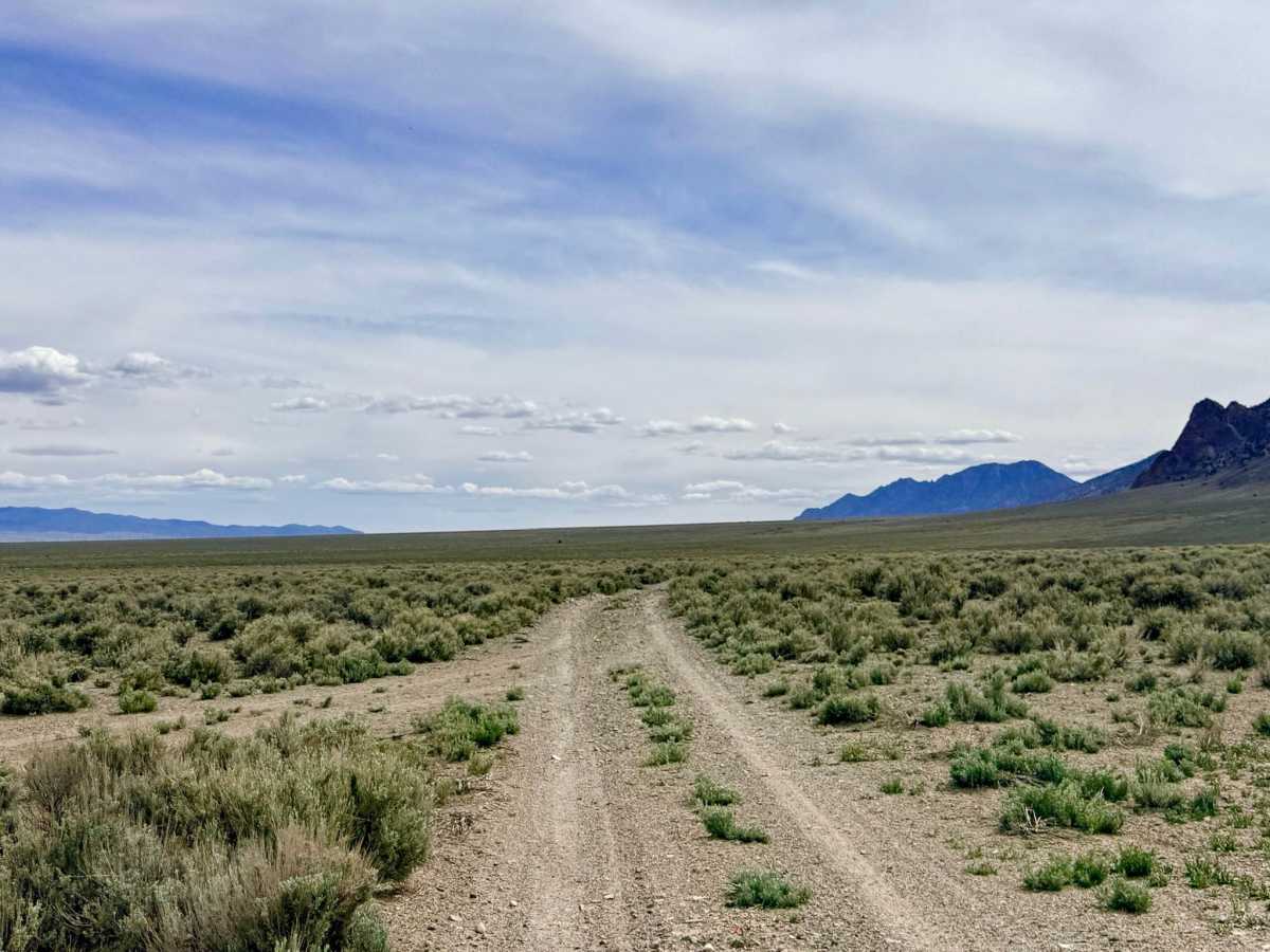
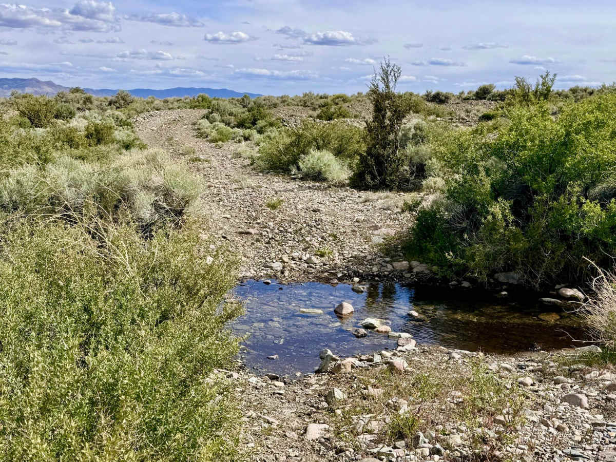
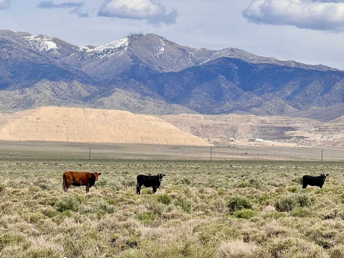
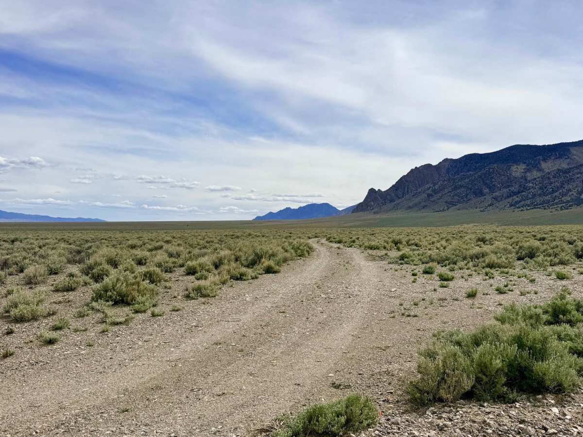
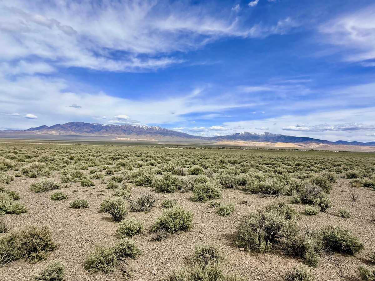
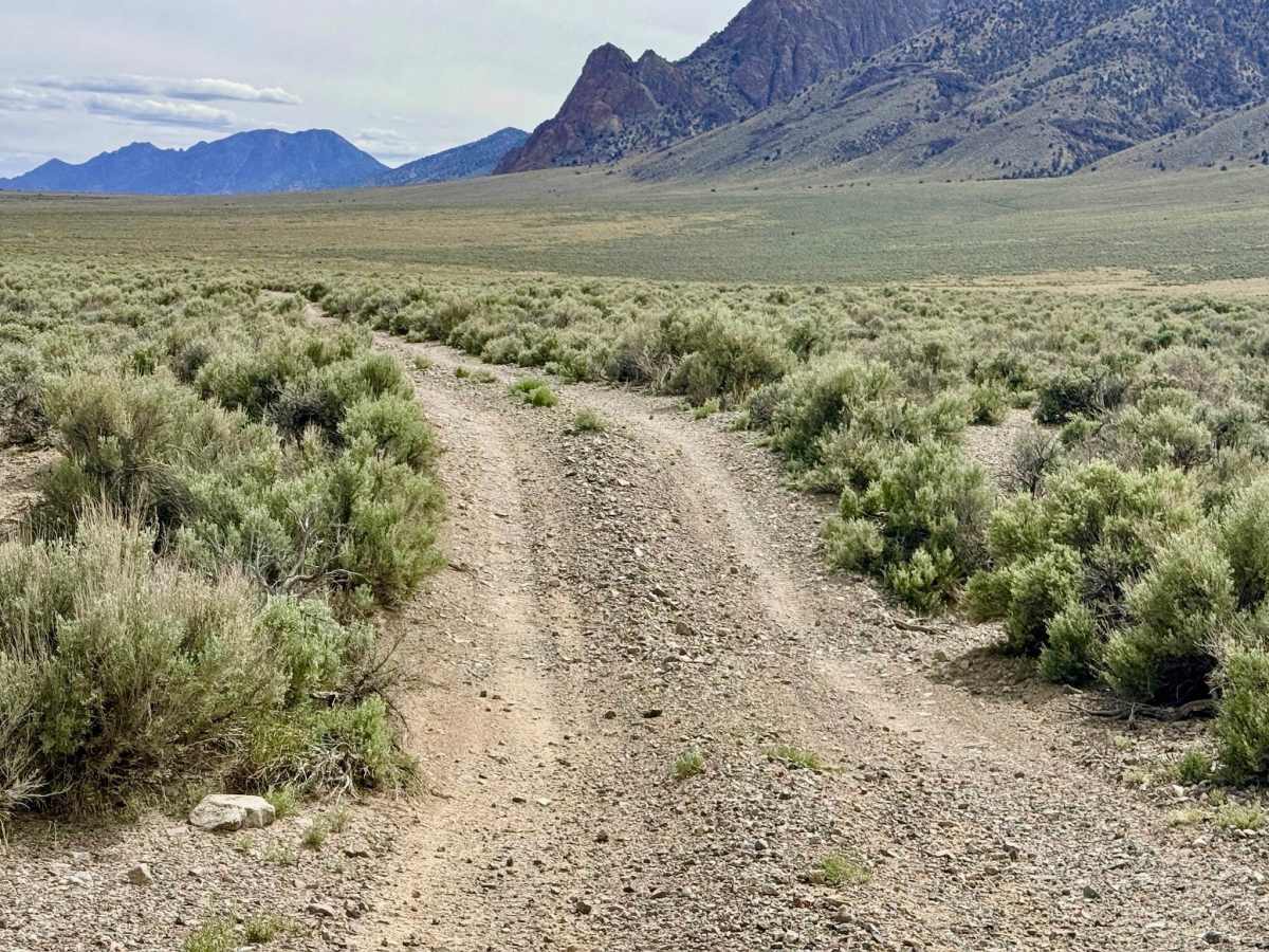
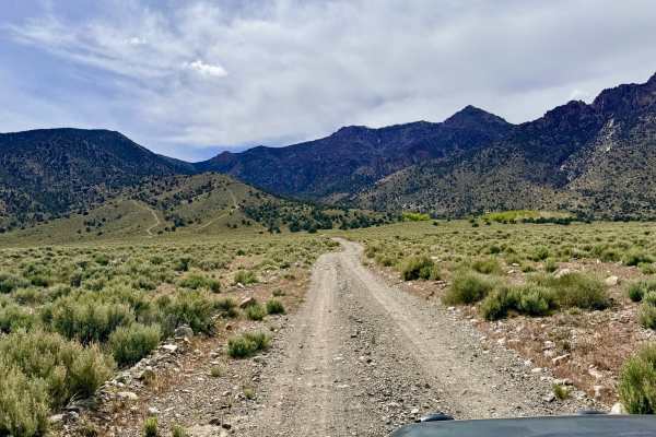
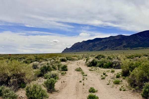
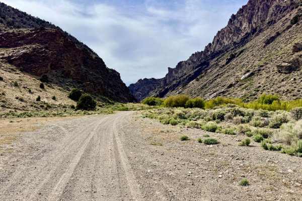
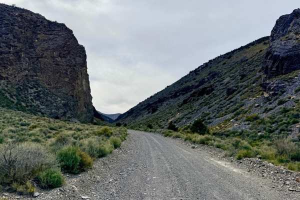
This trail is a fantastic high-desert link that allows explorers to effectively connect the Broad Creek system with Jett Creek. The drive is a spirited experience, marked by a series of rolling "whoops" and undulating terrain that offers a classic Great Basin roller coaster feel. As you cruise across the sagebrush-covered slopes, you are treated to expansive views of the Big Smoky Valley floor to the east and the rugged mountain peaks looming directly to the west. While the majority of the trail allows for a steady pace, the driving becomes significantly more technical as you approach the Jett Creek drainage. Stay alert for several deep washouts that require slow approach speeds and careful tire placement to avoid suspension damage. The trail culminates in two distinct water crossings at Jett Creek. These crossings feature loose, jagged rocks and moderate boulder gardens that will test your vehicle's articulation and traction. This is an active open-range area. You are almost certain to encounter cattle grazing near the track; they are very aware of your presence, maintain a respectful distance. Keep an eye out for Red-tailed Hawks circling the thermals and Sage Grouse flushing from the brush as you navigate this technical connector.
You may pick up one bar of intermittent LTE service, but it is highly unreliable and "comes and goes." Download offline maps before entering the foothills.
Difficulty
Rated a 3 due to the combination of deeper washouts and technical creek bed navigation. The boulder gardens in the creek require a focused "keener's eye" to avoid dragging a differential or catching a rocker panel. The water level in Jett Creek can fluctuate significantly during spring runoff or after a heavy monsoon. Always scout the depth and current if you are unsure before proceeding.
History
Jett Creek and the surrounding canyon have a storied past as part of the Jett Mining District, established in the late 1800s. While Austin and Kingston were famous for silver, this area was also prospected for antimony and lead.