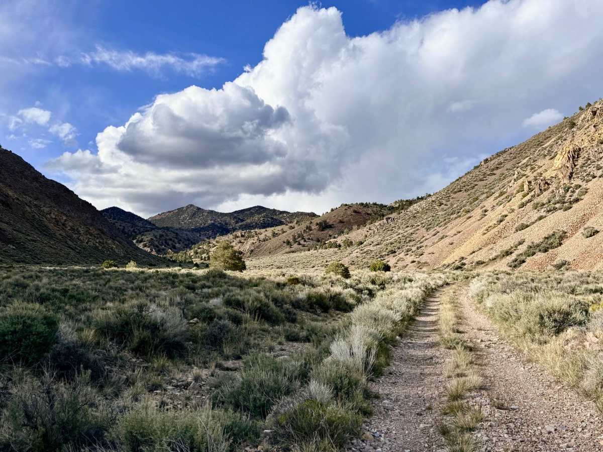
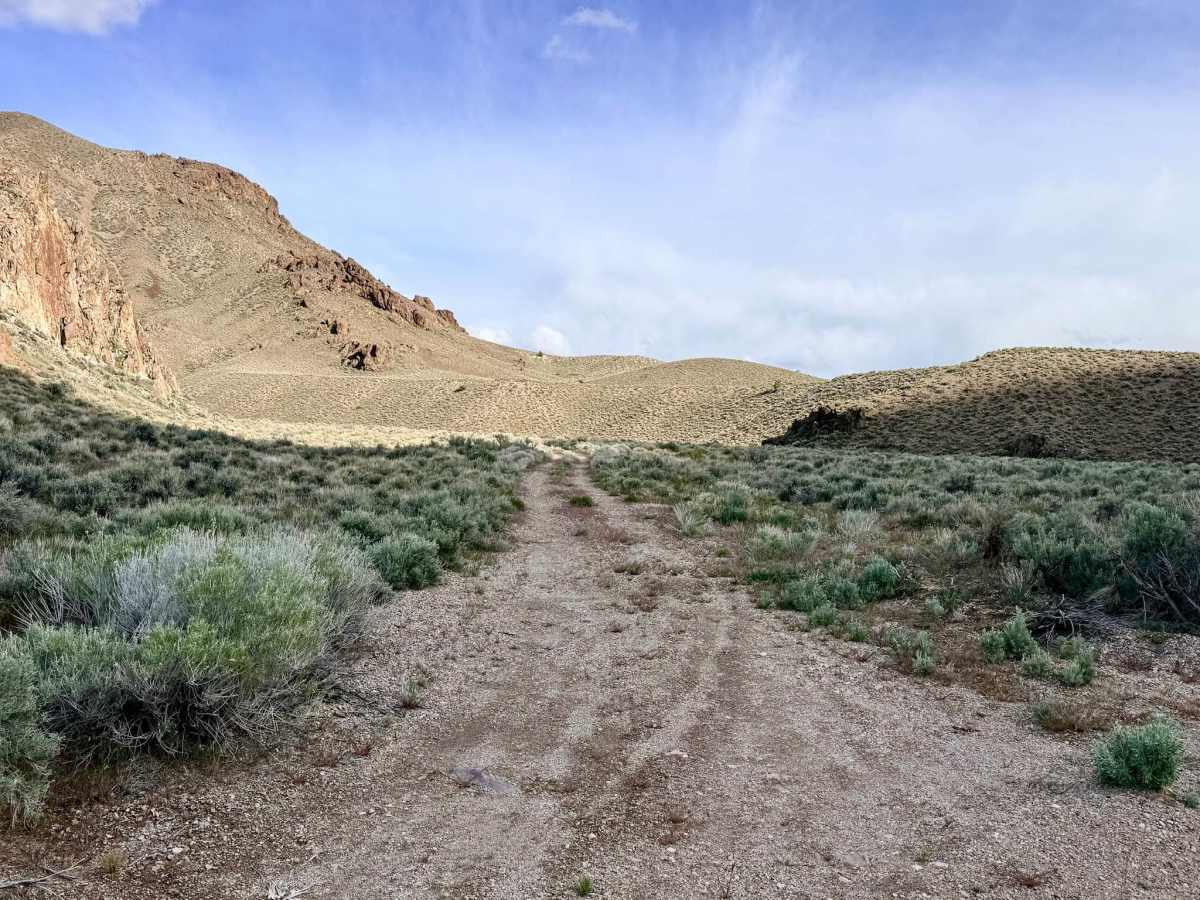
Trail Overview
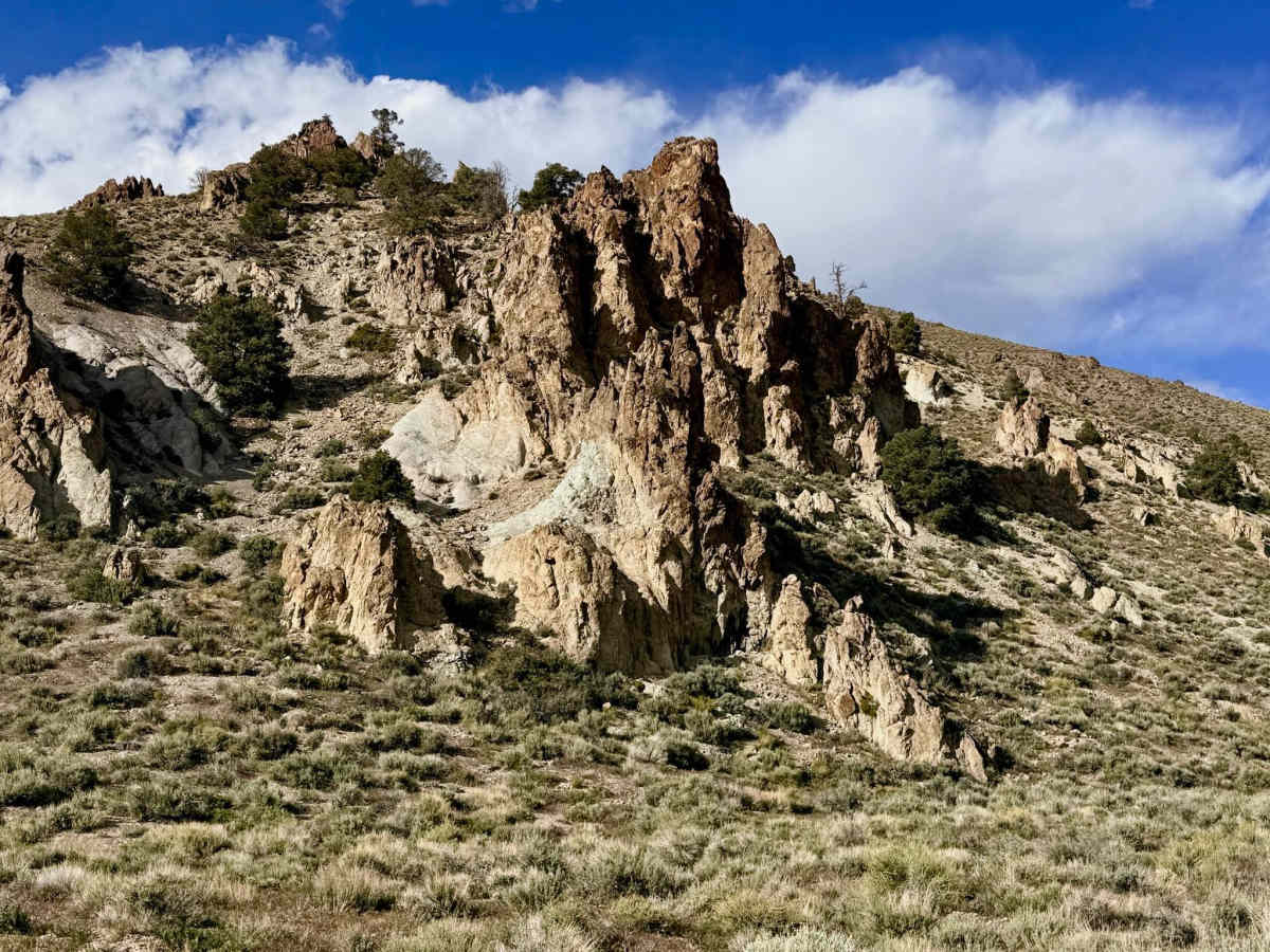
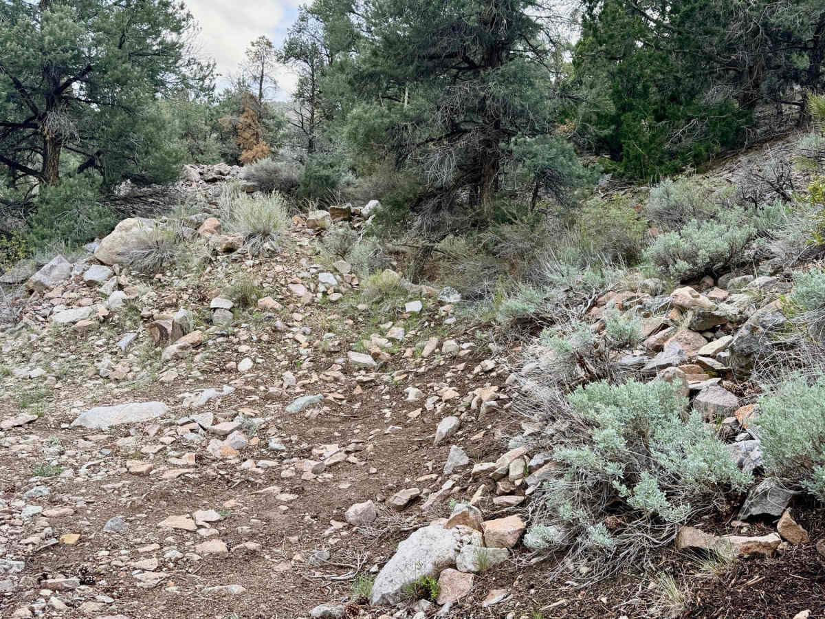
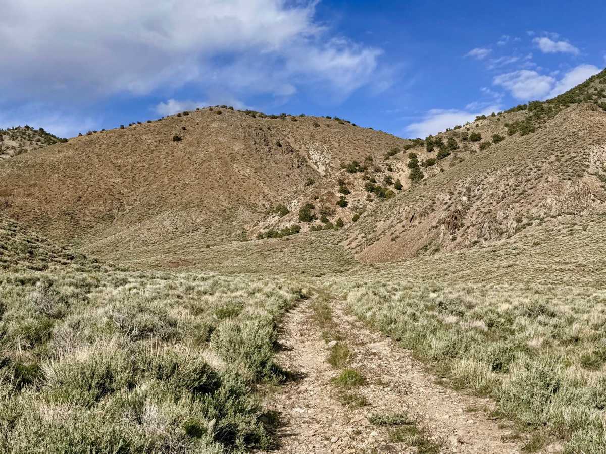
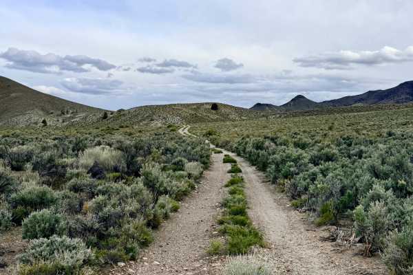
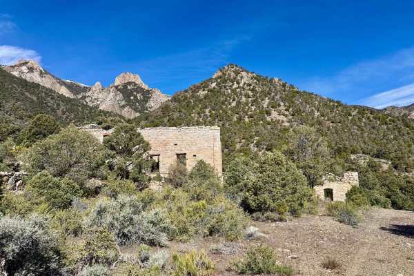
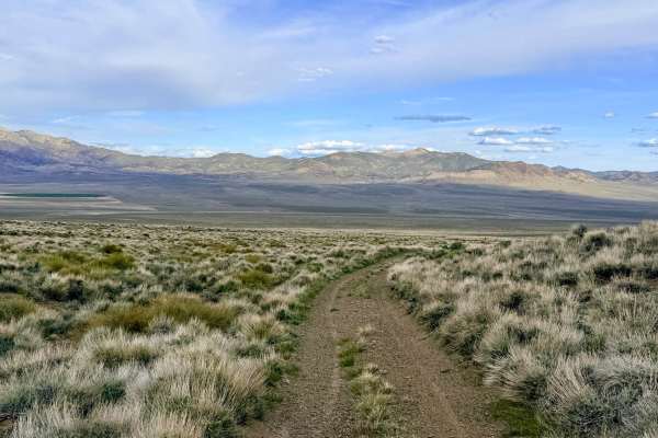
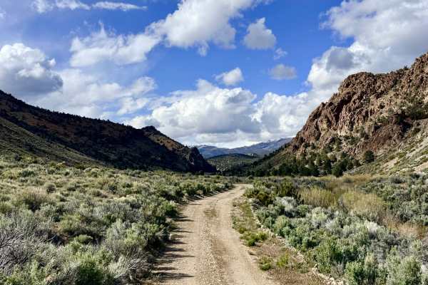
Horse Creek is a deeply secluded out-and-back trail that carries explorers into the rugged heart of the southern Toiyabe Range. The drive is defined by its dramatic verticality; as you ascend the canyon, you are flanked by magnificent rock formations that reach toward the heavens on either side. Keep your eyes sharp and your binoculars ready to scan the towering cliff faces, as they are home to numerous natural caves and serve as prime habitat for Bighorn Sheep. The driving experience is consistently bumpy. The trail is notoriously rocky, requiring a slow, steady pace to navigate the jagged volcanic surface. Drivers will navigate several rocky wash crossings that feature steep, off-camber transitions. This route eventually leads toward the historic Cinnabar Mine area and the non-motorized Horse Creek hiking trail. Be advised that the motorized track becomes heavily overgrown and impassable approximately 2,000 feet before the loop shown on older maps. Without significant trail clearing, this serves as the mandatory turnaround point for all vehicles. For those seeking solitude, the few flat dispersed campsites found along the way offer a high degree of peace and privacy due to the trail’s low traffic volume. Expect zero cell service in Horse Creek Canyon. The high canyon walls block all signals. Download offline maps before leaving the Highway 376 corridor.
Difficulty
Rated a 3 due to the combination of its unrelenting rocky surface, narrow passages, and technical wash crossings. As you get deeper into the canyon, the brush closes in. Expect some paint scratches on full-size rigs.