Garnet Hill

Total Miles3.1
Technical Rating
2Easy
Best TimeSpring, Summer
Trail TypeFull-Width Road
Accessible By
Open Trail Map

Trail Overview

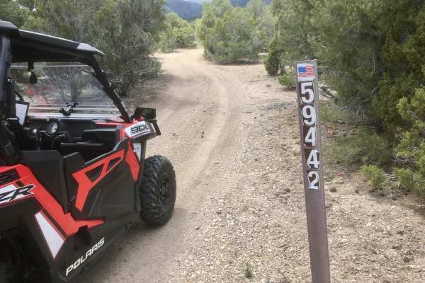
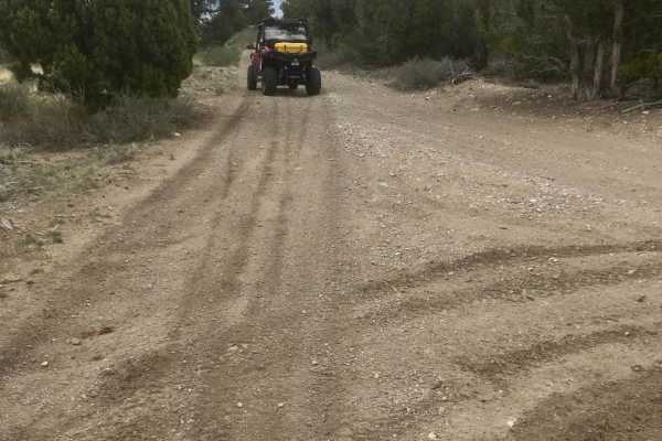
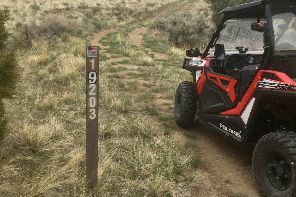
The Garnet Hill trail is just 10 miles northwest of Ely, Nevada. This public recreation area is managed by the BLM. The trail is maintained, and most passenger vehicles should be able to drive it in dry weather. The area was once a volcanic site that erupted 30 - 40 million years ago. One of the results of the eruptions is the Garnet gemstones that people now come to search for. After winding your way up the hill, a small parking lot and picnic area mark the area where garnets can be found.

Photos of Garnet Hill

Difficulty

maintained dirt road with no obstacles

Technical Rating

2

Status Reports

Add Status Report
Ed S
Oct 02, 2026
Open
DustyRough/Deteriorated
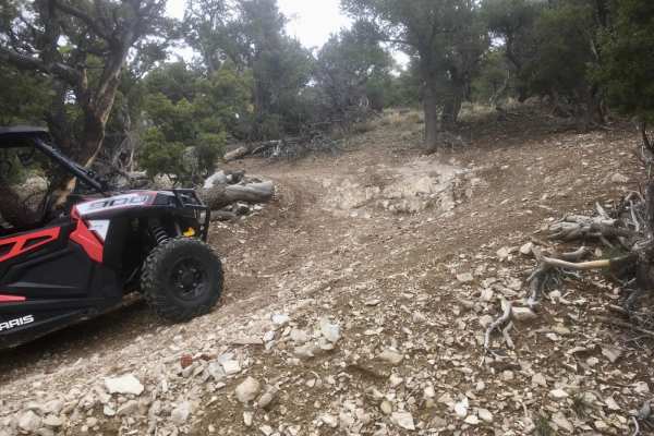
As others have said, use Pole Line Alt if you’re in a car. The highlighted trail from hwy 50 isn’t horrible but you will need a 4x4 with some amount of clearance. I was in 2wd for that section but it should just be noted. The rest of this trail to the top is standard gravel road that a car can do. I will say that the double-dashed trails heading up to the Garnet Hill round-hounding area are gnarly. The one coming from the south off of hwy 50 closer to town required 4lo twice due to steep incline and descent but it was fun. The double-dashed trail from this Garnet Hill trail that heads southbound up to the round-hounding area is gnarly and you will need 4lo on the final ascent. Note that on the map it looks like it goes up and over but it does not. You can’t access the parking area and will need to do a tricky about-face and head down. I accidentally made a wrong turn onto what looked to be a mountain bike or atv trail and got into a bad pickle, having to back out, uphill, in 4lo.
Tim Youngard
Aug 16, 2025
Open
Use Pole Line Alt road, as the original is washed out.
Tam Bell
Sep 26, 2023
Open
Normal

Garnet Hill Trail can be accessed by the following ride types:

  • High Clearance
  • Full Width

Garnet Hill Map

The onX Offroad Difference

onX Offroad combines trail photos, descriptions, difficulty ratings, width restrictions, seasonality, and more in a user-friendly interface. Available on all devices, with offline access and full compatibility with CarPlay and Android Auto. Discover what you're missing today!

Open Trail Map