Fiddlers Green Trail

Total Miles9.5
Technical Rating
5Moderate
Best TimeSpring, Summer, Fall
Trail TypeFull-Width Road
Accessible By
Open Trail Map

Trail Overview

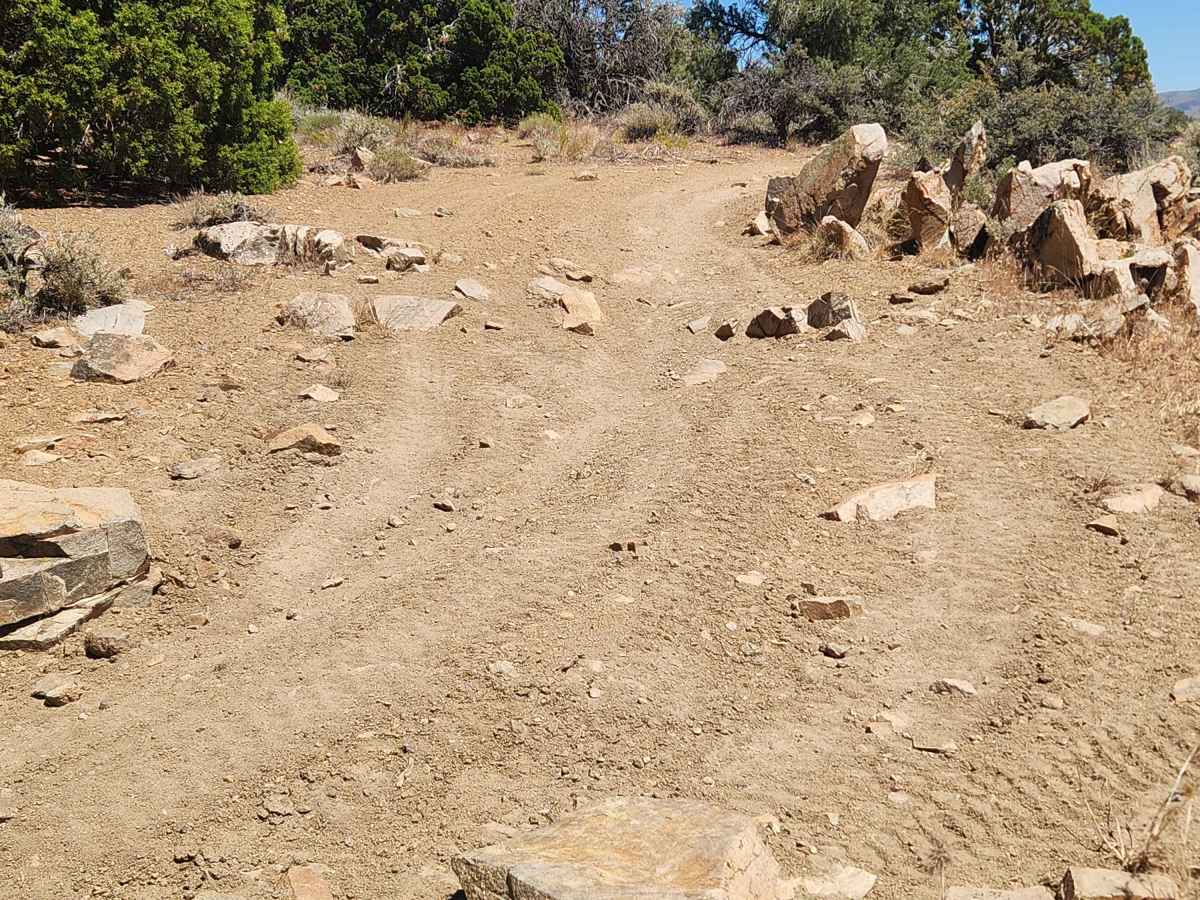
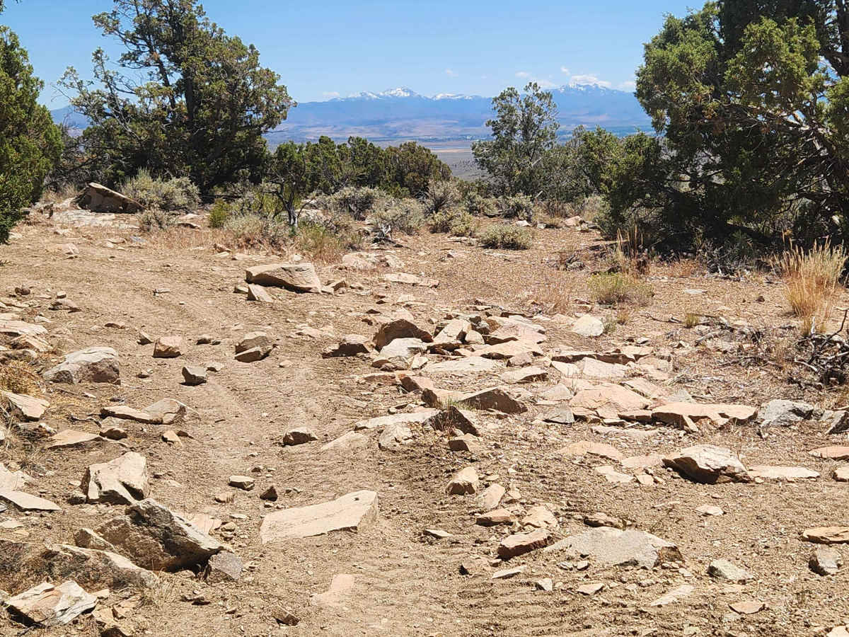
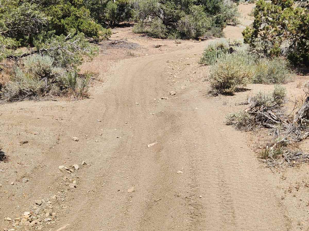
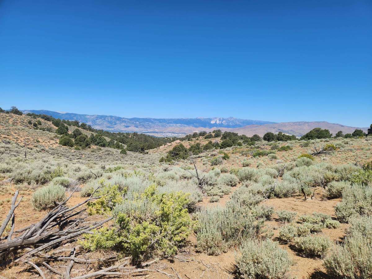
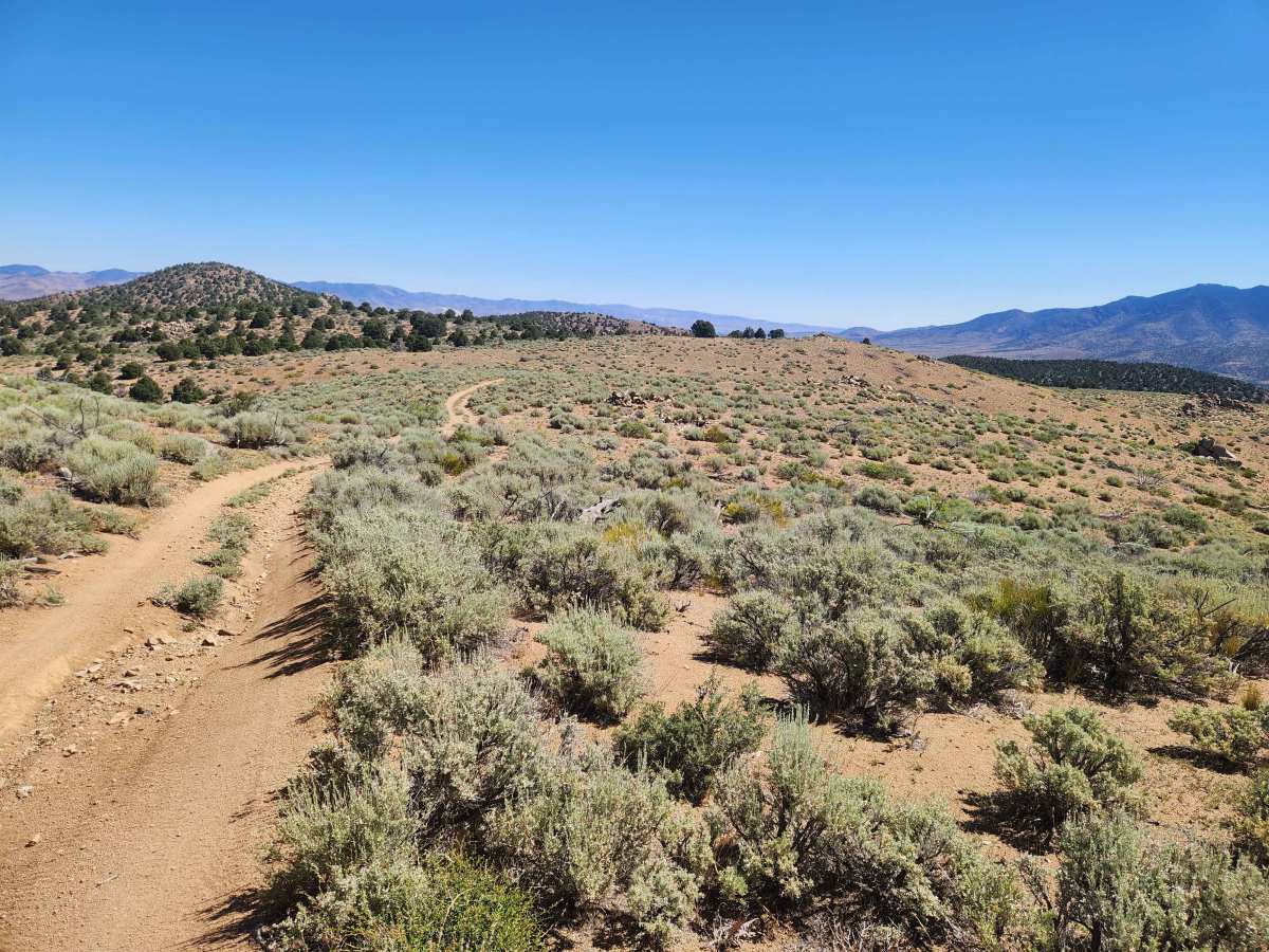
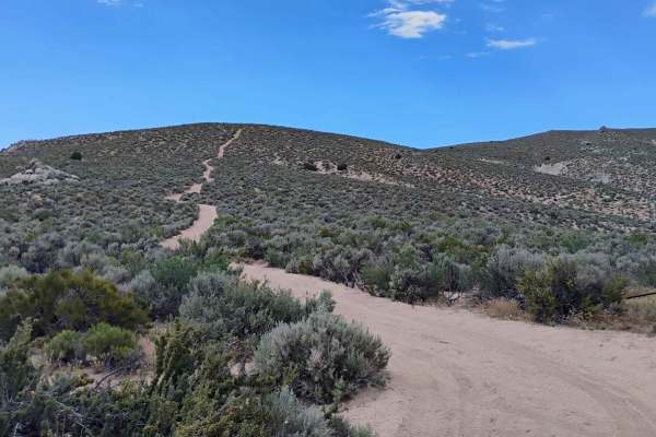
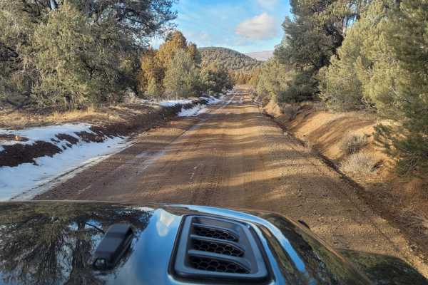
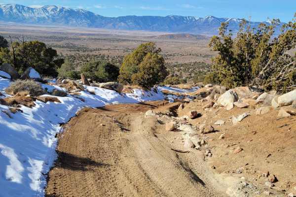
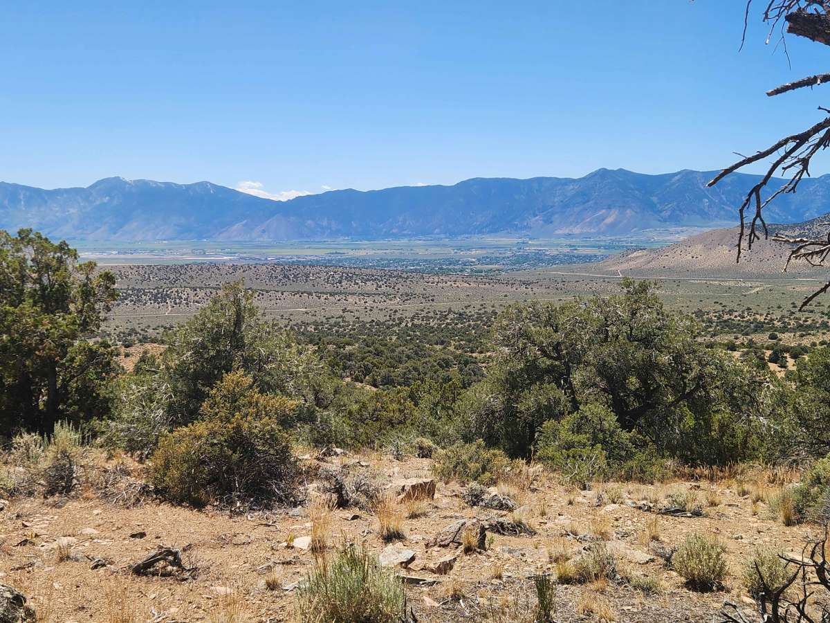
Fiddlers Green trail starts in a wooded area, then heads up and down steep, rocky stretches and trenches with noticeable off-camber sections. Some of the trail, especially the steep parts, is very narrow, so watch for oncoming traffic. Along the way, you climb in altitude and have views of Carson City, the Sierra Front, the Virginia Range, and Dayton. About midway along this trail is Fiddlers Green, an open area with a view of Carson City and a good place to stop and take a break. On the Northern portion of the trail, there is a section that twists and turns through the trees, and clearance is very limited. Large and/or long vehicles will make it through, but you will have to work it and expect a few stripes. This Northern Pine Nut Mountain trail is a connector from Brunswick Canyon Road, leading to the Old Como Road and the Eldorado Canyon Trail. It is also the most practical way to connect Dayton with the Johnson Lane area in Minden.

Photos of Fiddlers Green Trail

Difficulty

There are long, steep climbs with melon-sized loose rock, trenches to straddle, ledges on short climbs, and noticeable off-camber. Any high-clearance 4x4 with appropriate tires and a competent driver will be able to manage this trail.

Technical Rating

5

Fiddlers Green Trail Trail can be accessed by the following ride types:

  • Single Track
  • 50 Inch
  • 60 Inch
  • High Clearance
  • Full Width

Fiddlers Green Trail Map

The onX Offroad Difference

onX Offroad combines trail photos, descriptions, difficulty ratings, width restrictions, seasonality, and more in a user-friendly interface. Available on all devices, with offline access and full compatibility with CarPlay and Android Auto. Discover what you're missing today!

Open Trail Map