Trail Overview
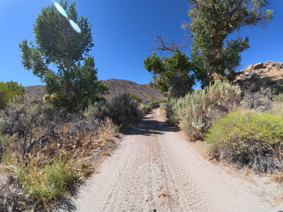
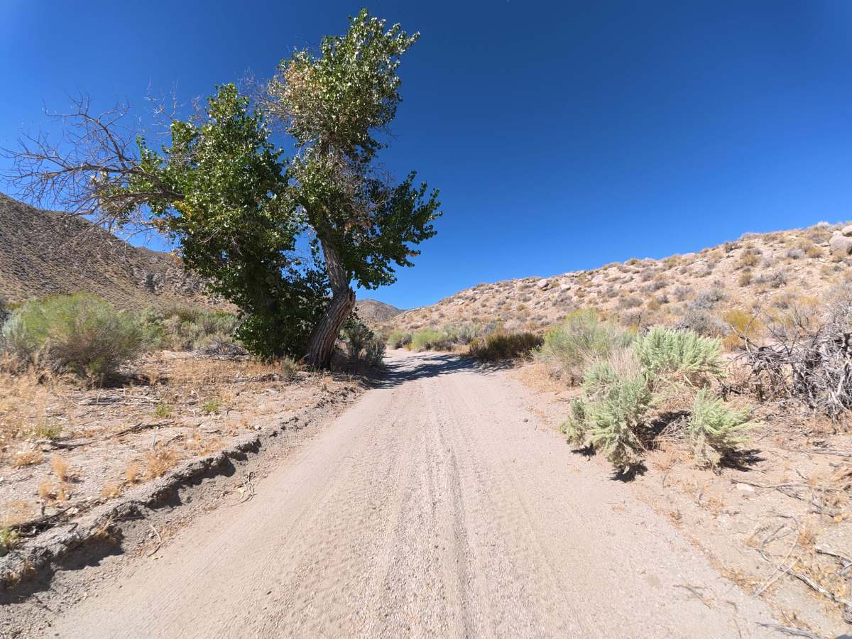
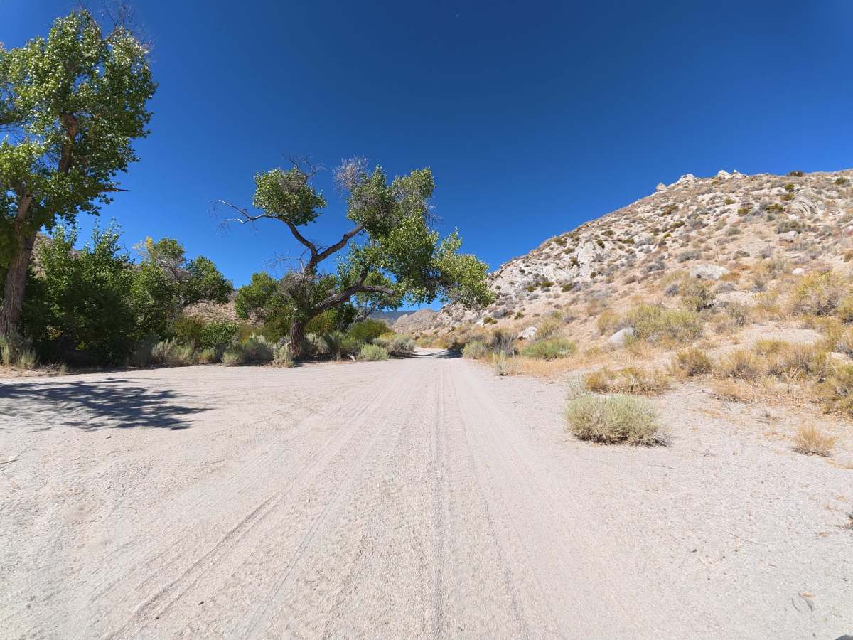
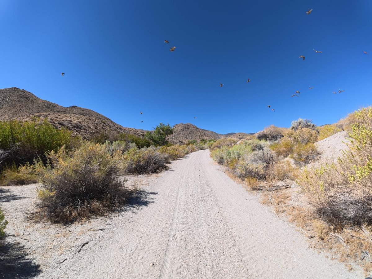
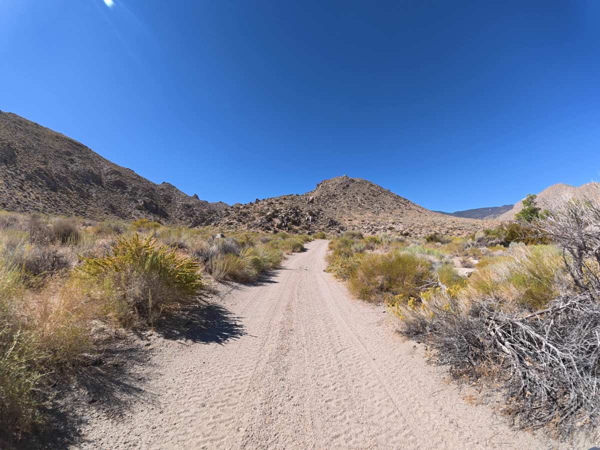
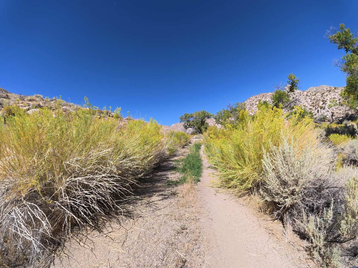
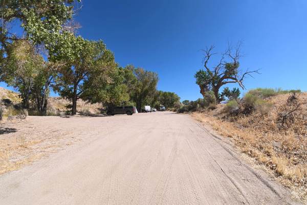
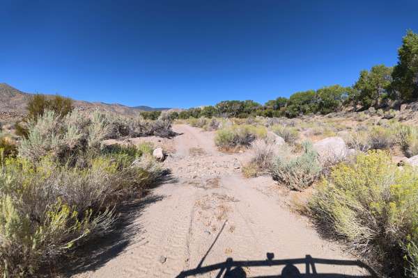
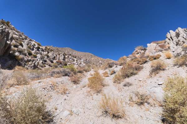
This scenic trail provides access to the White Mountains Wilderness Study Area and begins after Canyon Road, with camping and parking near the entrance. The narrow route is mostly fine dirt with scattered 2–3 inch rocks and does not allow vehicles to pass. It is popular with hikers and mountain bikers, and several sections have heavy overgrowth where pinstriping is unavoidable. At 0.5 miles, a large shaded campsite beside the creek accommodates up to 15 vehicles and has a fire ring. Another campsite at 0.7 miles accommodates up to five vehicles on level, shaded ground. Around 1 mile, occasional ruts reach 8 inches deep. At 1.1 miles, a 5-inch-deep creek crossing begins a series of crossings ranging from 5–10 inches deep. At 1.7 miles, another shaded campsite sits beside the creek and accommodates up to two vehicles. The trail continues through scenic terrain with multiple water crossings before ending where vehicles are no longer permitted.
Difficulty
This trail is rated Level 3 because of the narrow sections, unavoidable pinstriping, occasional 8-inch ruts, and multiple water crossings up to 10 inches deep. It offers excellent creekside camping and scenic driving, with the most challenging conditions occurring farther along the route.

 Offroad