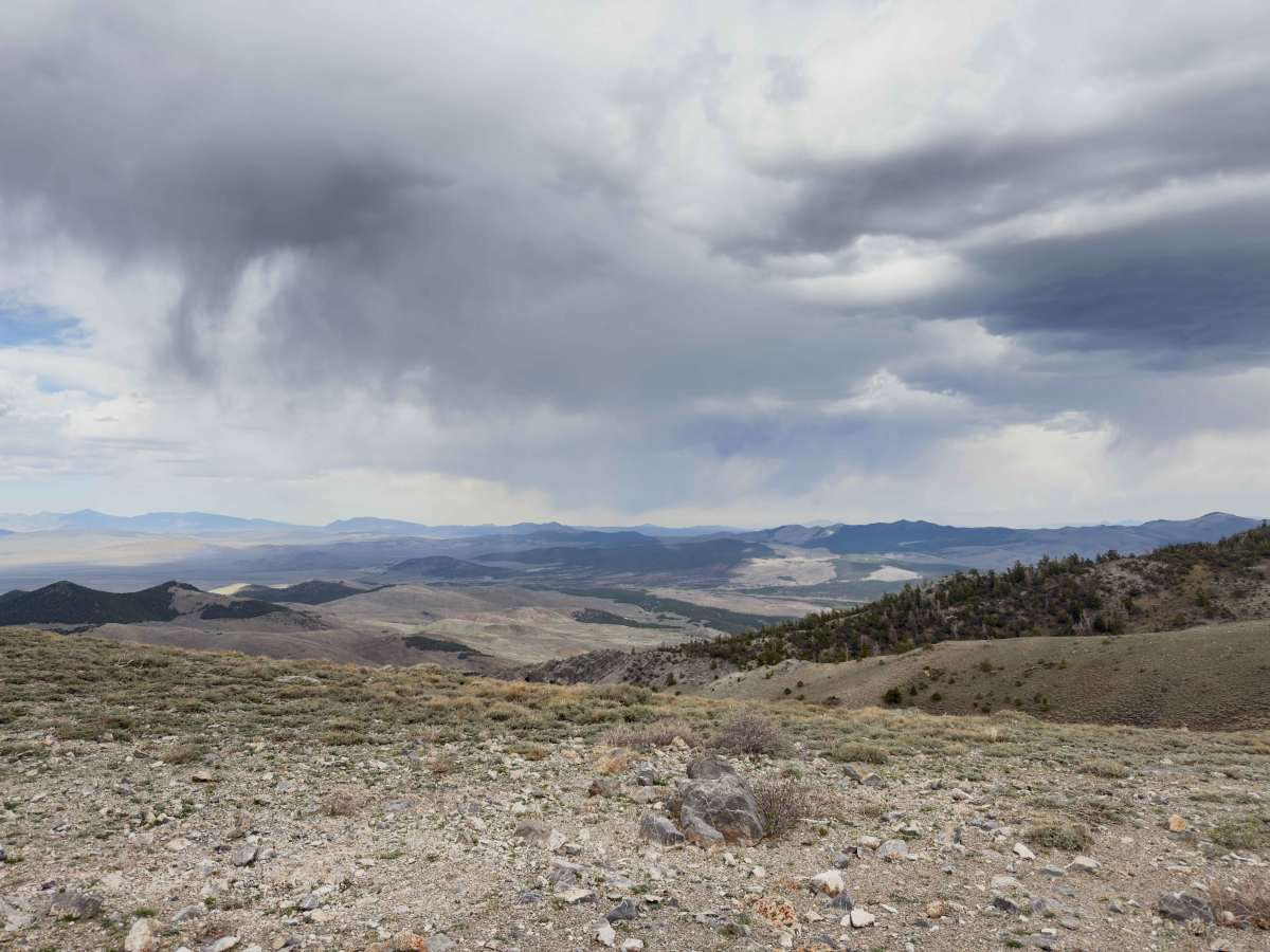
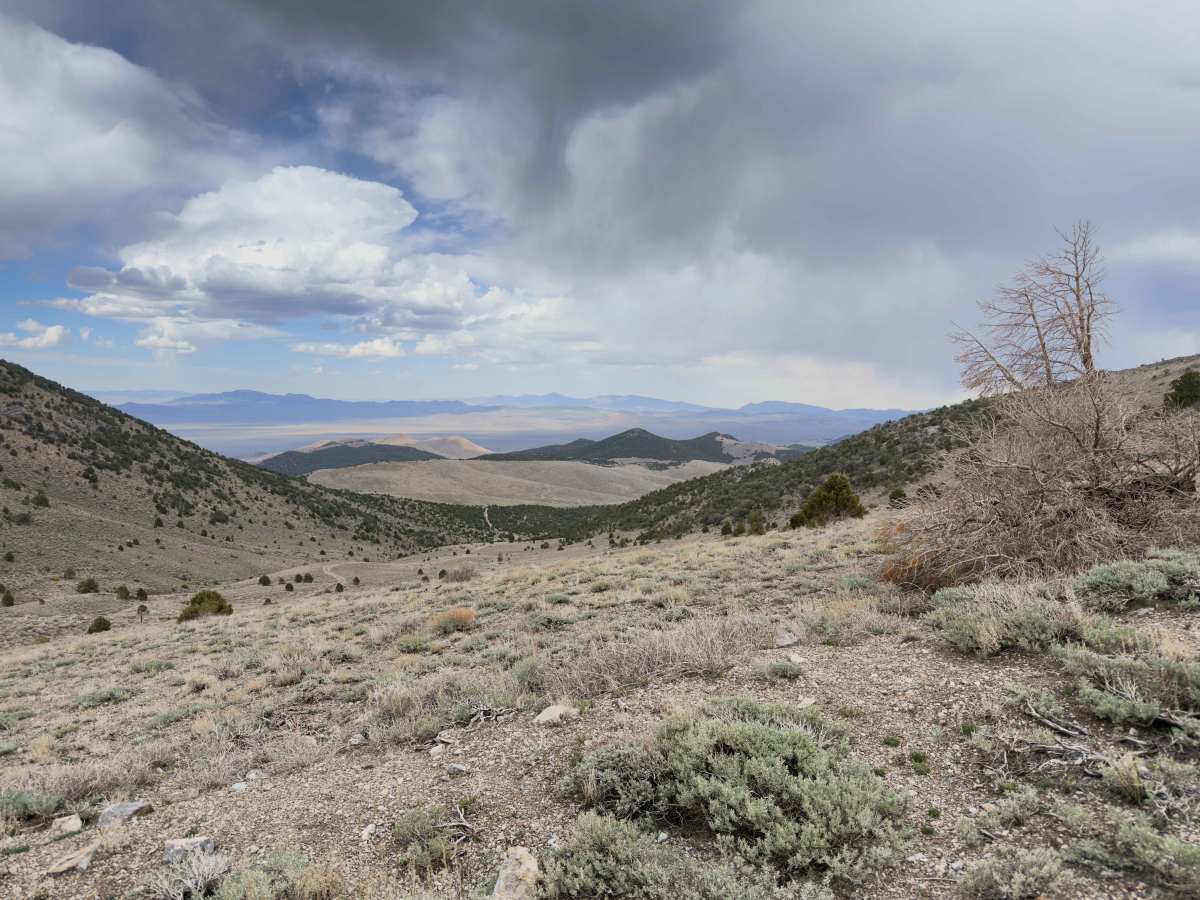
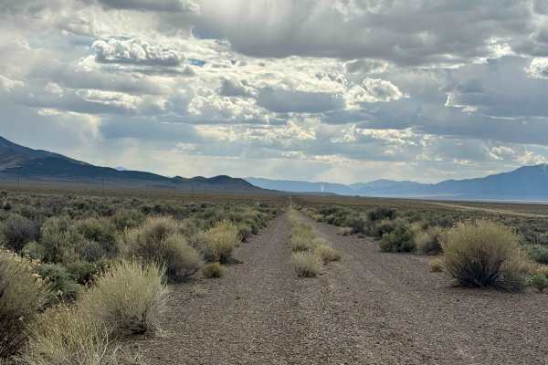
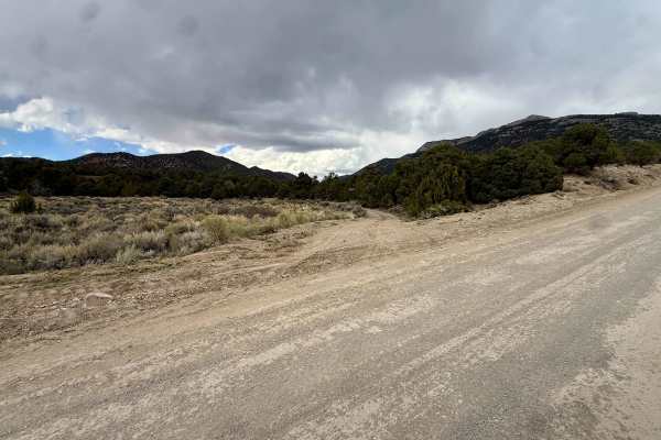
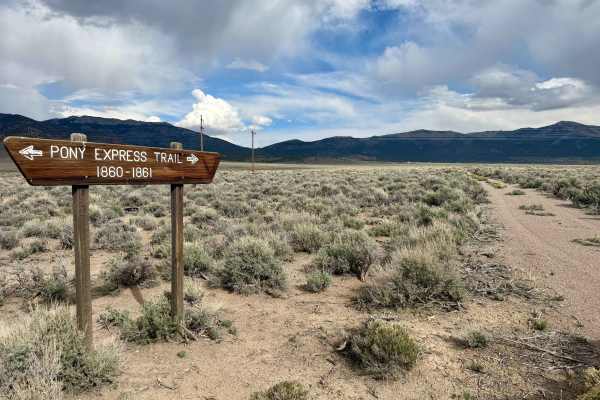
Trail Overview
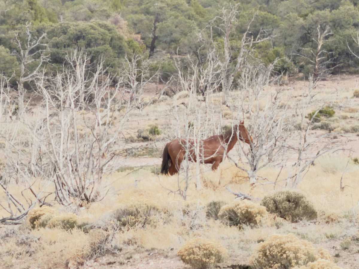
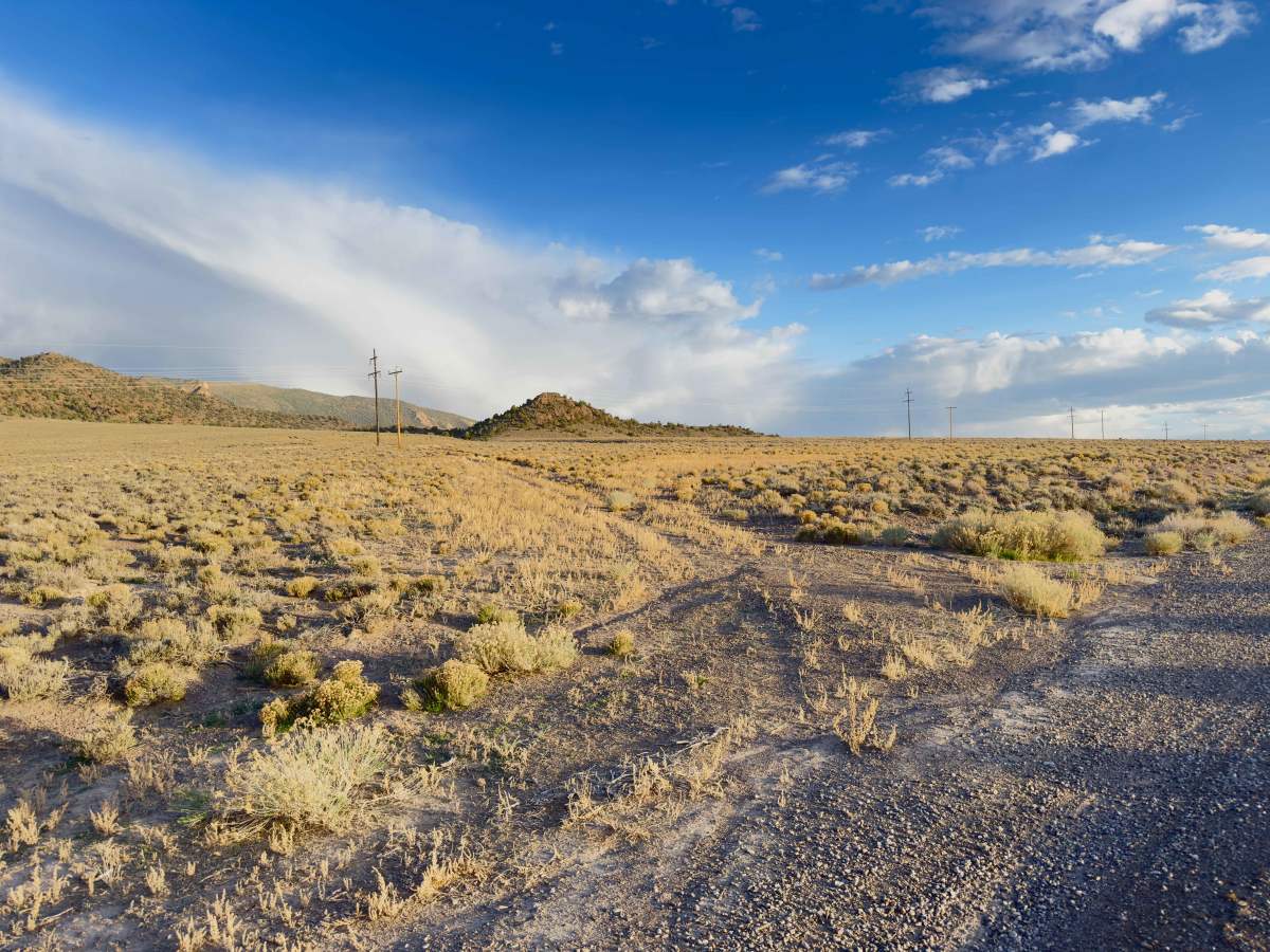
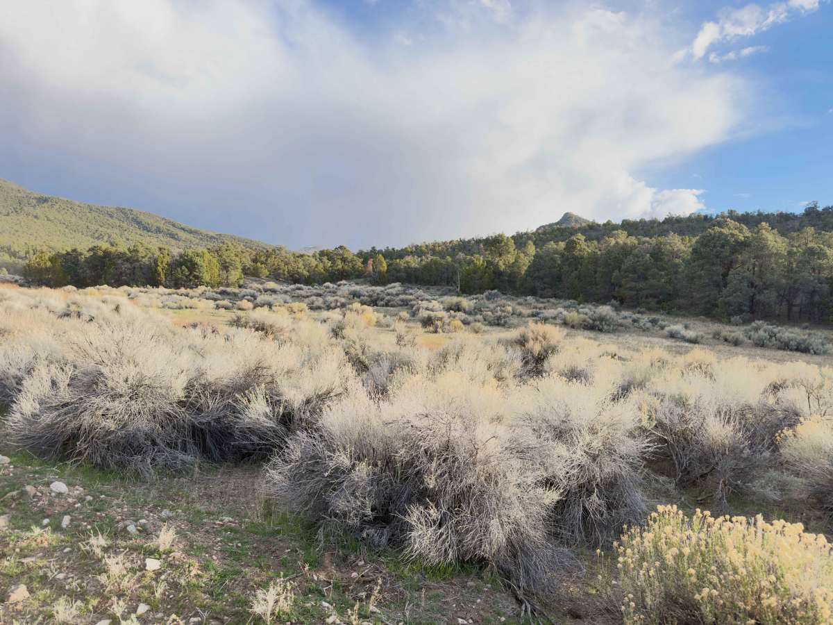
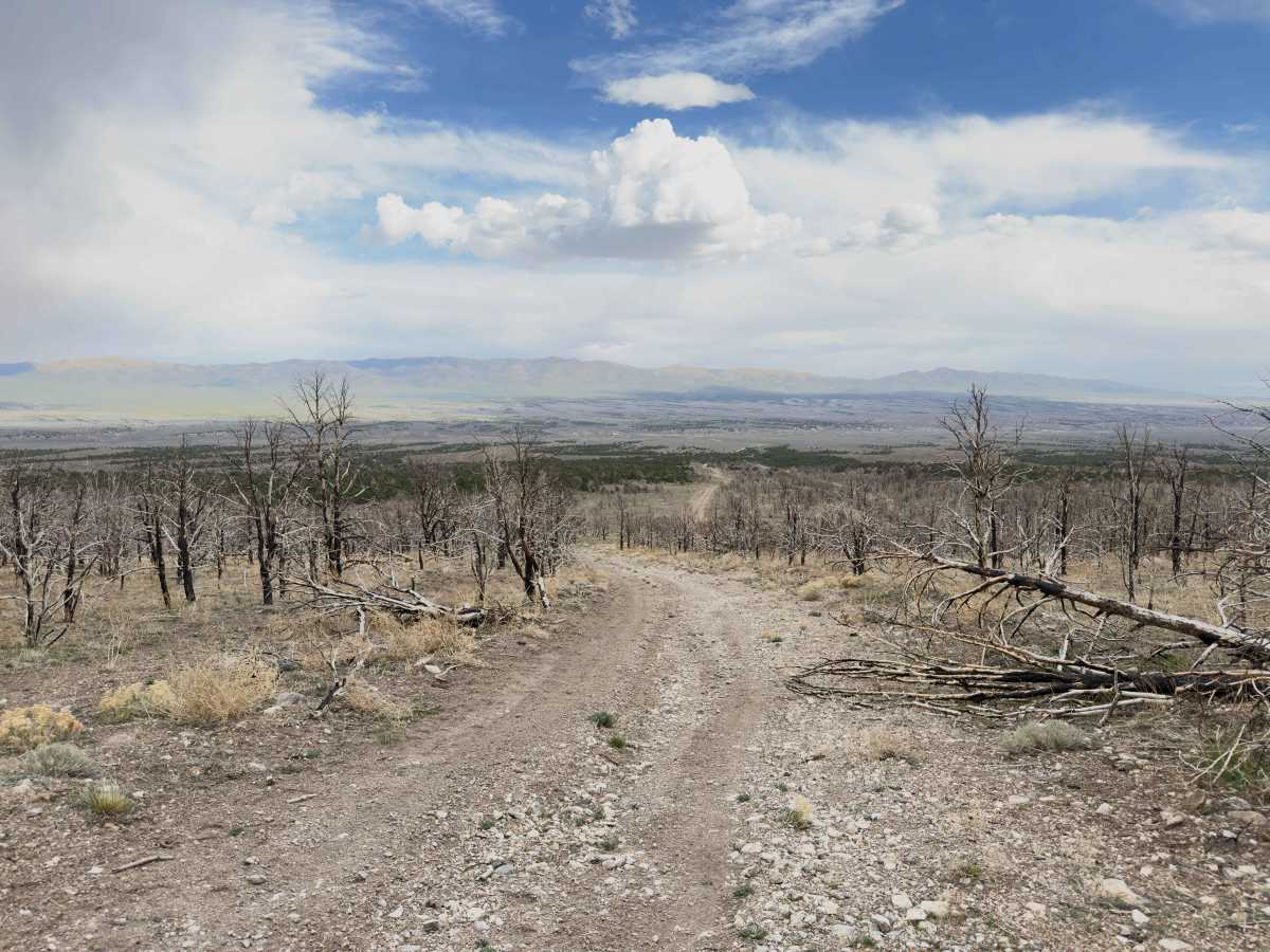
Remote perimeter loop tracing the boundary of the Becky Peak Wilderness (18,189 acres) along County Road 18, County Road 31, and connecting BLM two-tracks. Access from US-93 approximately 40 miles north of Ely. Route follows the eastern flank of the Schell Creek Range through open sagebrush basin, pinyon-juniper woodland, and rocky hill country before reconnecting with US-93 via BLM Road 4149 on the southwest side. Wide-open views of Steptoe Valley, the Cherry Creek Range, and the full Schell Creek ridgeline. Wild horse bands are common along the valley floor and near water sources throughout the route. Pronghorn and mule deer also frequent the area. Clay-heavy sections become impassable when wet. Winter snowdrift blocks higher road sections from November through April. Do not attempt within 48 hours of significant rain. Even summer thunderstorms can shut down washes and grease clay stretches for days. No cell service. No services on the route. Nearest fuel and supplies in McGill or Ely. Carry recovery gear, extra water, and provisions to self-rescue. Download all maps before departure.
Difficulty
The route in fair weather is primarily unmaintained county roads and BLM two-tracks — not technical rock crawling or steep shelf roads. The surface is gravel and native dirt with manageable grades through the pinyon-juniper zone. The challenge comes from remoteness and route-finding, not obstacles. A stock high-clearance 4WD (Wrangler, Tacoma, 4Runner) can handle it in dry conditions without lockers or armor. Why it bumps to Difficult after weather: The clay-heavy sections fundamentally change the trail. Wet Nevada clay doesn't just get slippery — it becomes a zero-traction surface that can strand even well-built rigs. Add winter snowdrift blocking road sections at elevation and washed-out creek crossings after summer storms, and you're looking at real recovery scenarios. The 40+ mile distance from any assistance with zero cell service compounds everything. A stuck vehicle out here isn't an inconvenience; it's a survival situation.
The factors stacked up: Technical terrain difficulty: Low to moderate, Remoteness/exposure: High, Route-finding complexity: Moderate (unsigned intersections, faint two-tracks), Recovery difficulty if something goes wrong: High, Condition variability: Extreme swing between dry and wet