Trail Overview
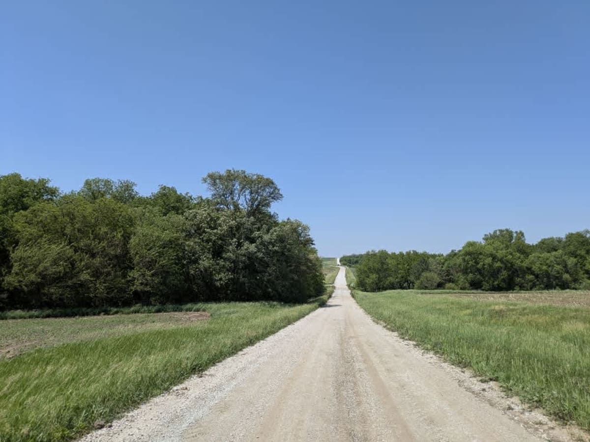
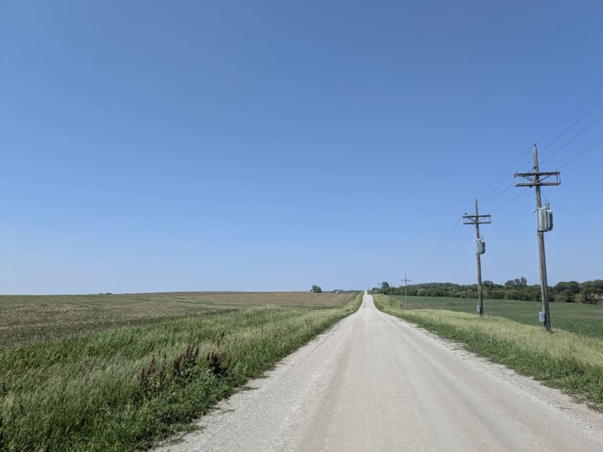
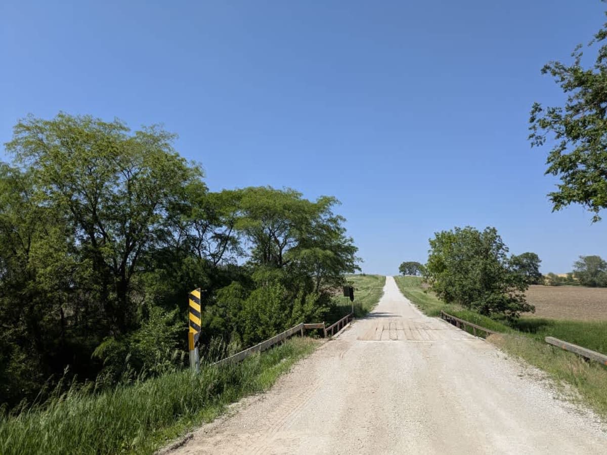
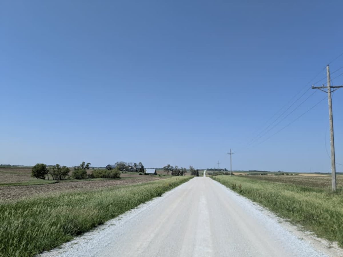
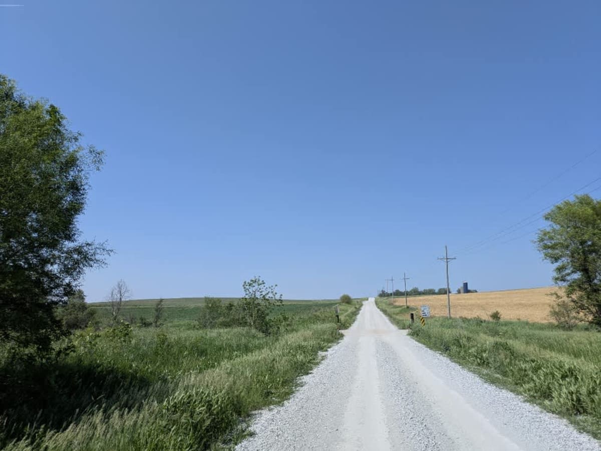
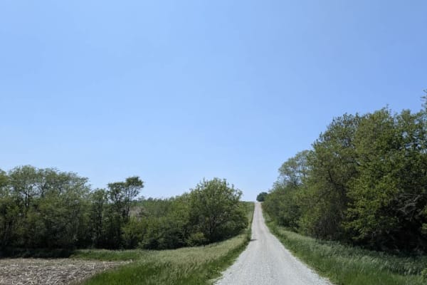
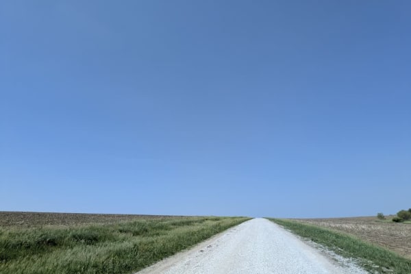
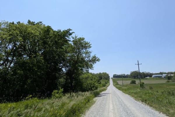
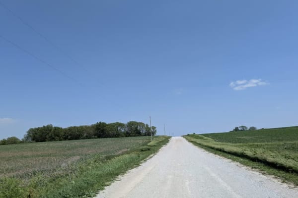
This stretch of gravel runs long and wide, its surface kept in good shape yet busy with intersecting back roads and even a four-lane highway, so steady eyes for oncoming traffic are essential. You will roll over several small bridges and a gated railway crossing before the route settles into an easy rhythm across open, undulating farmland. The hills rise and fall gently, and the road stays mostly straight, giving you uninterrupted views of flowing fields that change color with the season. There are no formal or dispersed campsites, no bins or water sources, and cell coverage fades in and out;check your onX maps and arrive fully self-sufficient.
Difficulty
The trail is well-maintained and routinely graded to support a range of local use, from daily agricultural traffic by farmers to occasional travelers and outdoor enthusiasts passing through the area. Its good condition makes it easily accessible and reliable for all types of vehicles.
History
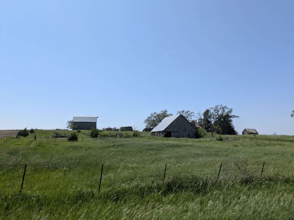
This route traces the historic heartland of the Flint Hills, a region that has remained largely untouched by modern agriculture due to its shallow, rocky soils--making it one of the last strongholds of North America's tallgrass prairie. The trail crosses land with deep cultural roots--from Native American hunting grounds to working cattle ranches. Expect long views over tallgrass prairie, passing ghost towns, century-old barns, and scenic byways that have carried generations of ranchers and travelers alike.