Trail Overview
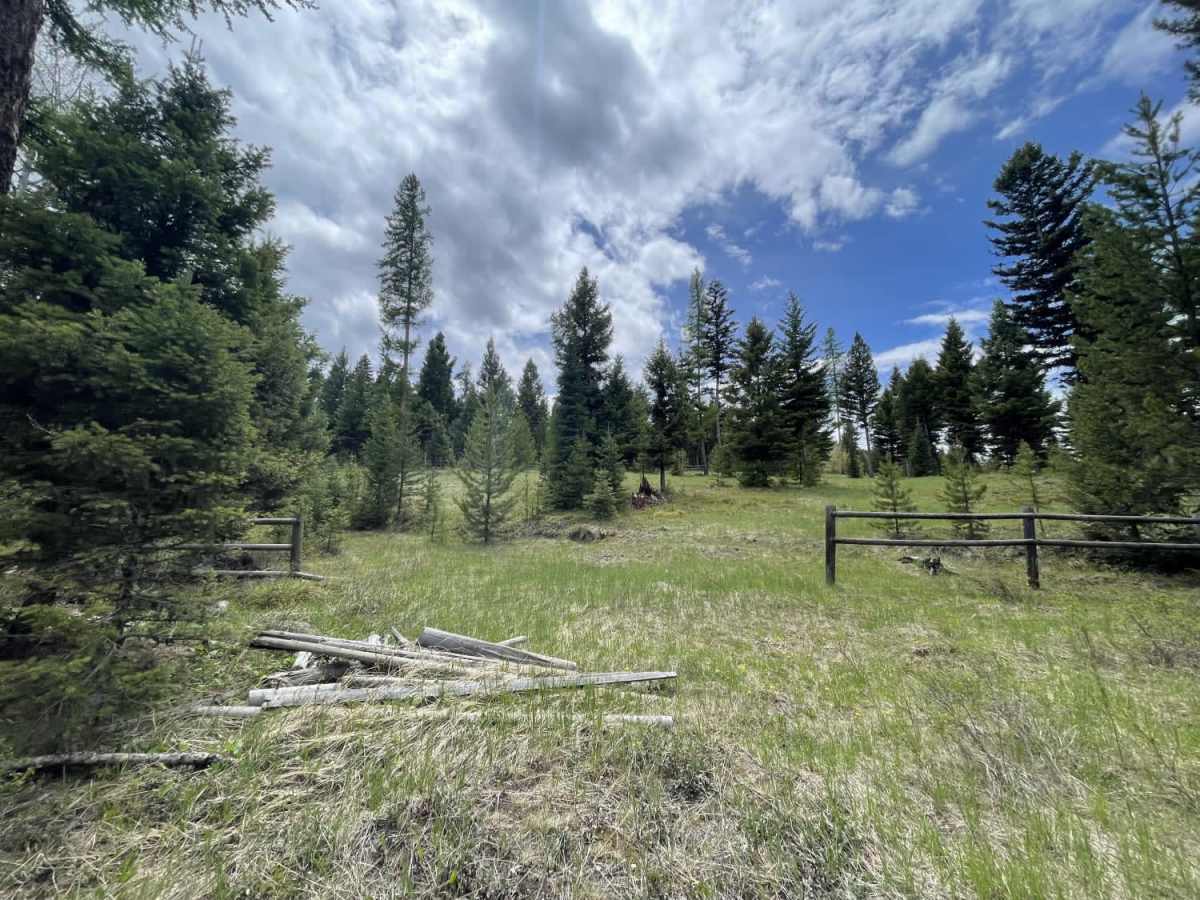
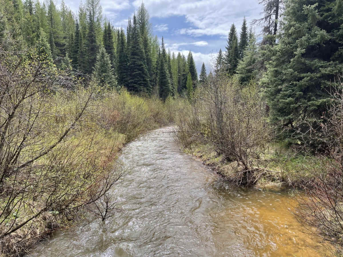
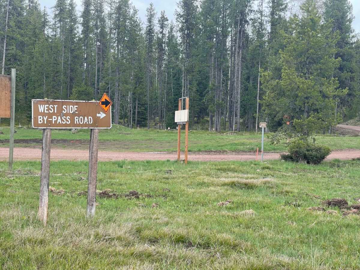
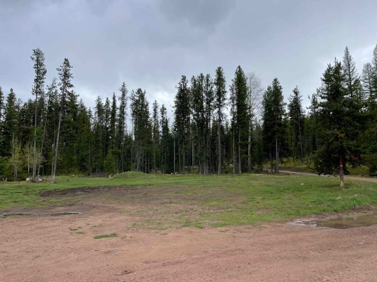
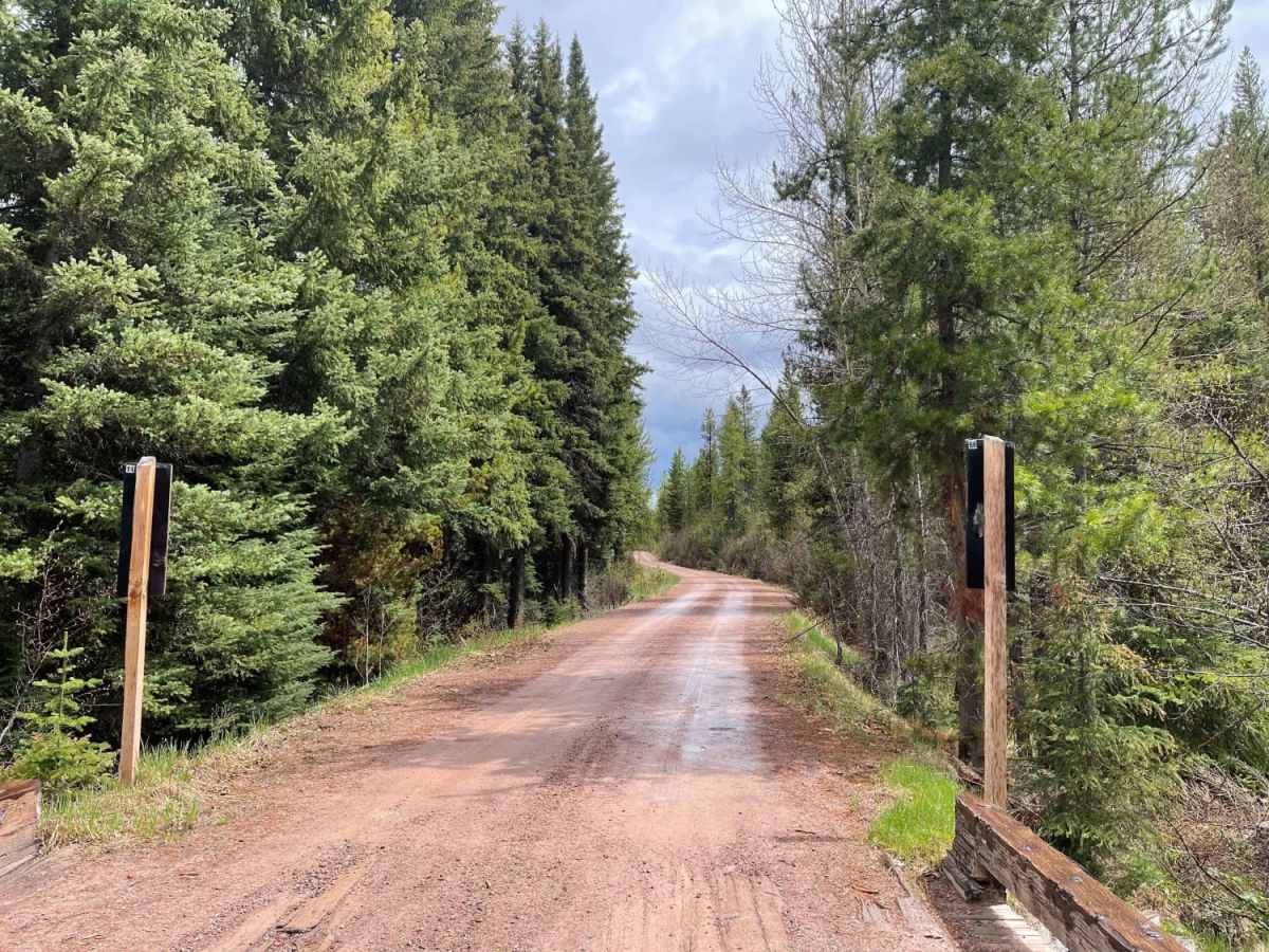
Westside Bypass is a gentle, 6.8-mile dirt route running along the west side of Seeley Lake, offering an easy, beginner-friendly drive through thick pine forests. This scenic but enclosed trail is perfect for stock sport utility vehicles, four-wheel-drive trucks, and SxSs looking for a straightforward bypass or a relaxing journey through the timber. With a flat, graded surface that features very few potholes and ample width for oncoming traffic to pass without slowing, the route maintains a comfortable and predictable character throughout its length. Although the dense tree canopy completely blocks views of Seeley Lake and the surrounding mountains, the immersion in the lush forest provides a peaceful backcountry atmosphere.
The trail spans an elevation range between 4,021 feet and 4,217 feet, with less than 300 feet of total climbing, making it accessible to virtually any high-clearance vehicle under standard conditions. While no designated campsites are situated directly on this route, several dirt spurs branching off the main track provide potential dispersed camping opportunities. Visitors can expect reliable two-bar LTE cell coverage along most of the trail, adding a layer of convenience. The primary surface is well-maintained dirt, making this an ideal option for anyone seeking a low-stress drive or a quick connection around the west side of the lake.
Difficulty
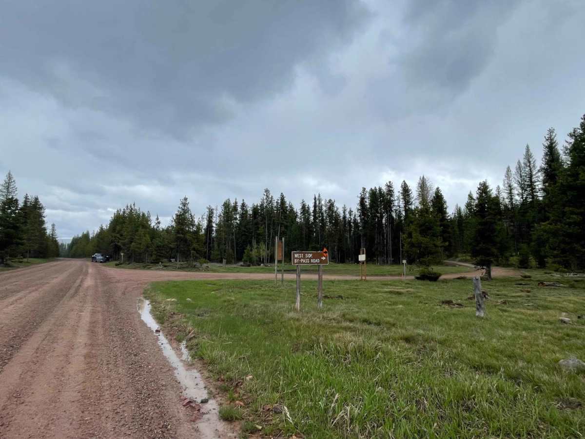
This trail is graded, easy, and very wide, with room to pass oncoming vehicles without slowing.

 Offroad