Trail Overview
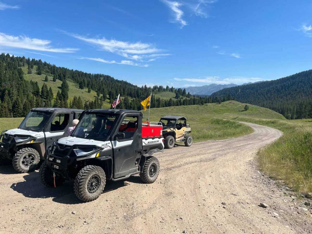
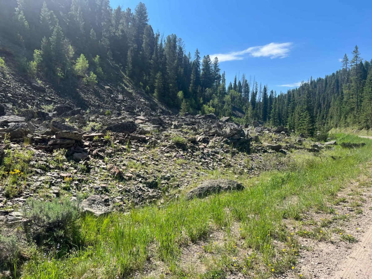
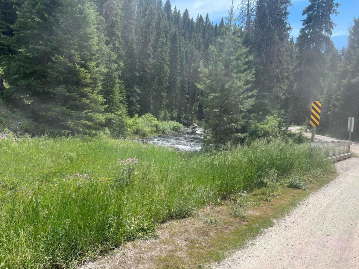
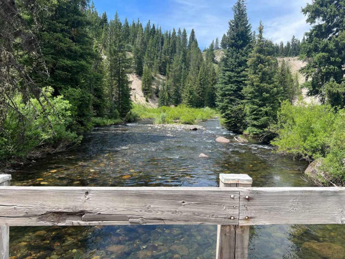
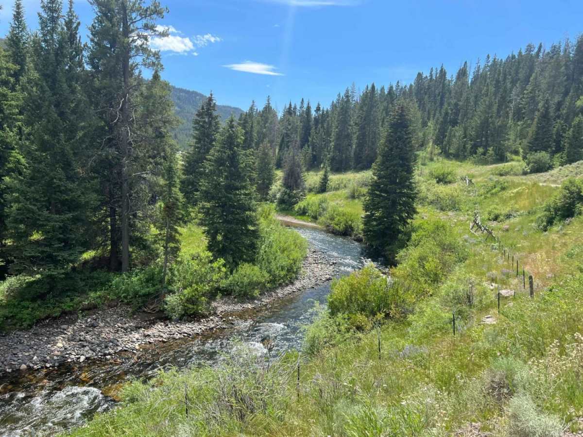
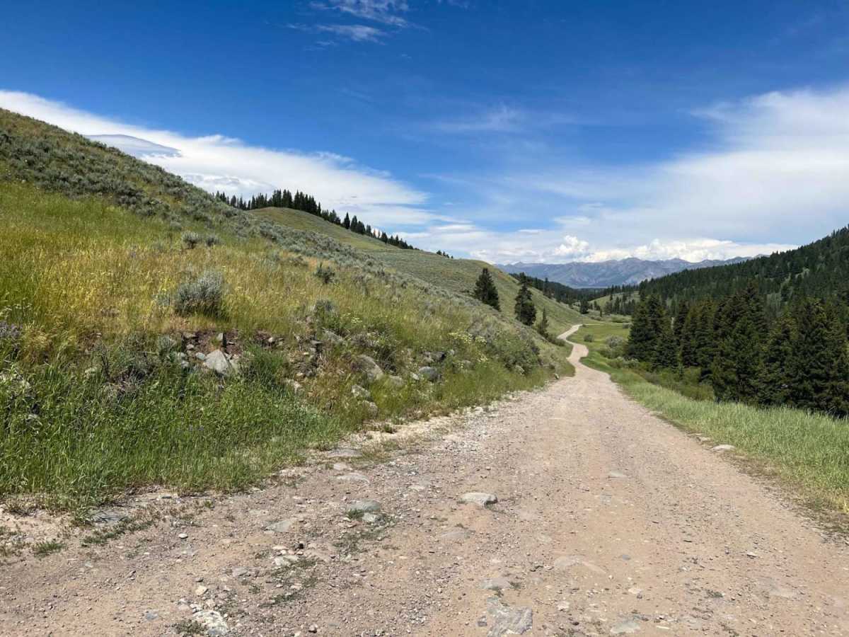
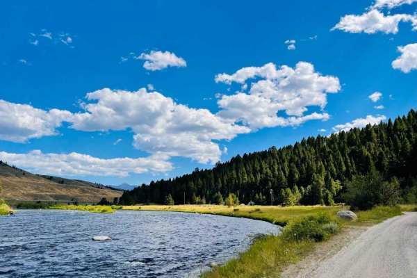
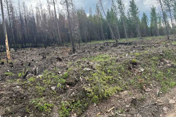
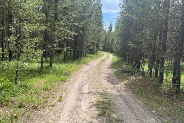
West Fork Madison (FS 209) is an easy, highly scenic dirt road ideal for beginners, families, and those looking to enjoy a relaxing drive along a beautiful mountain stream. Stretching approximately 7.3 miles through the Beaverhead-Deerlodge National Forest, this route follows the pristine West Fork of the Madison River, offering spectacular views of the valley and surrounding peaks. The trail winds through areas that escaped a recent major wildfire, leaving a lush landscape that comes alive with vibrant wildflower blooms during the summer months. Because the route is a wide, occasionally maintained dirt road, it accommodates everything from passenger cars to large tow rigs and toy haulers. Many visitors use the numerous dispersed camping spots scattered along the route as a base camp for exploring the wider Gravelly Range.
Beginning near Highway 287, the trail climbs gently from an elevation of 6,002 feet to 6,457 feet, with a mild cumulative elevation gain of just under 520 feet. The easy terrain presents no major obstacles, making four-wheel-drive optional under dry conditions, though high clearance is always beneficial. SxSs, dirt bikes, and standard highway vehicles can comfortably travel this route. The route eventually ends where the road transitions into a restricted 50-inch motorized trail, which is clearly marked and features a vault toilet facility at the turnaround point. This trail is typically accessible from late spring through autumn, depending on snowpack, and serves as an excellent entry point to the scenic outdoor recreation opportunities in southwest Montana.