Verde Creek Road-Sunrise Road-Quartz Road

Total Miles17.7
Technical Rating
3Easy
Best TimeSpring, Summer, Fall
Trail TypeHigh-Clearance 4x4 Trail
Accessible By
Open Trail Map

Trail Overview

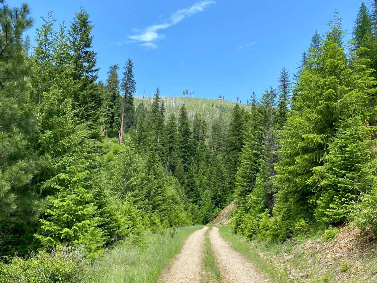
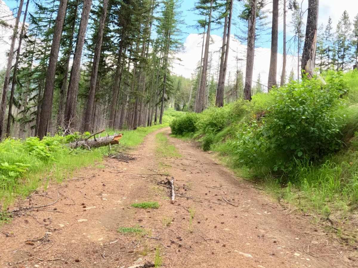
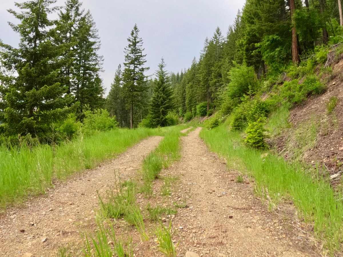
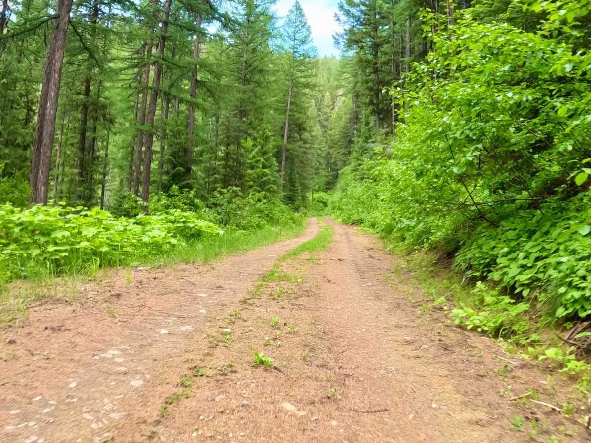
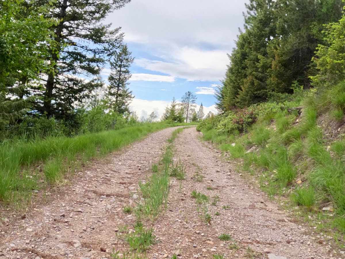
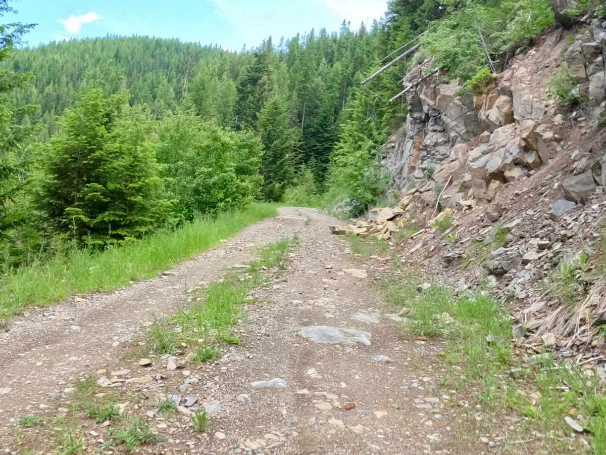
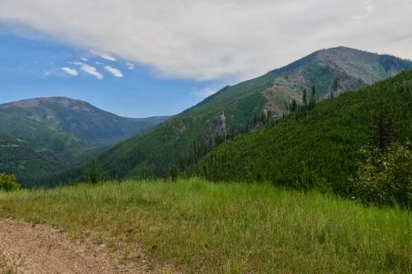
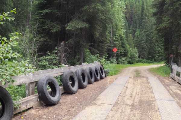
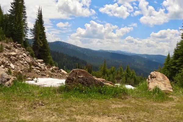
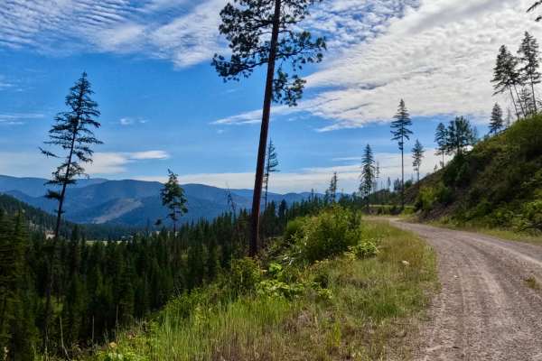
Route begins from the Pierce-Superior FSR-250 heading east crossing over the Trout Creek Bridge. The route is made up of mostly gravel & areas of broken rock. The route starts at an altitude of 3200' and is a gentile climb to around 5700'. There are multiple switchbacks with very steep sides along the route. The route is mainly one lane, but there are wider areas for passing. There is very little traffic on this route, as it offers some very beautiful views of Landowner Mt. and Sunrise Mt. to the south and Eagle Rock to the west. Bear Grass is prevalent in late Spring at the higher elevations. Parts of the route pass thru a big area of burnt-out lands, that are just showing signs of regrowth.

Photos of Verde Creek Road-Sunrise Road-Quartz Road

Difficulty

Make sure you have plenty of fuel.

Technical Rating

3

Status Reports

Add Status Report
Spencer McNamara
May 10, 2025
Open
NormalDustyMuddy/WetSnow/Ice
Trail had your normal rocks and trees on the trail that you can pass by fairly easy. There is still snow in several locations at the higher altitudes that is 12" deep in spots. Four wheel drive on our machines got us thru.
Spencer McNamara
Jun 13, 2024
Open
Trail is snow free

Verde Creek Road-Sunrise Road-Quartz Road Trail can be accessed by the following ride types:

  • Single Track
  • 50 Inch
  • 60 Inch
  • High Clearance

Verde Creek Road-Sunrise Road-Quartz Road Map

The onX Offroad Difference

onX Offroad combines trail photos, descriptions, difficulty ratings, width restrictions, seasonality, and more in a user-friendly interface. Available on all devices, with offline access and full compatibility with CarPlay and Android Auto. Discover what you're missing today!

Open Trail Map