Trail Overview
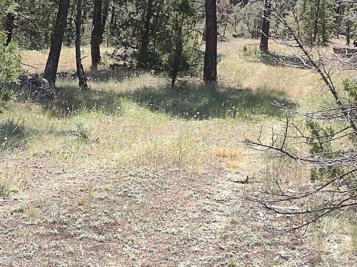
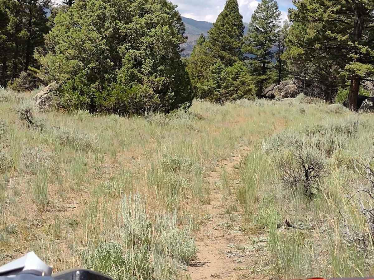
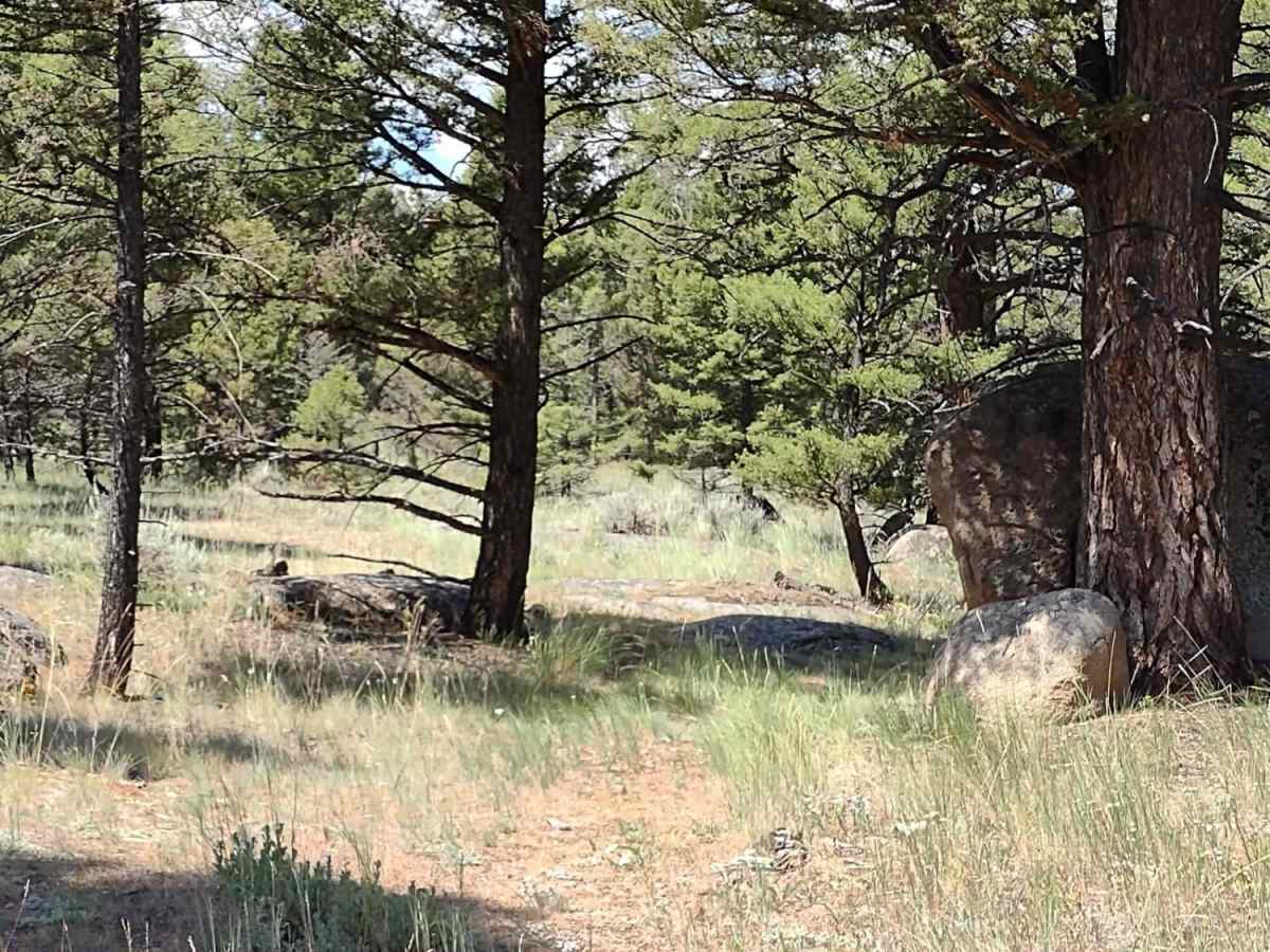
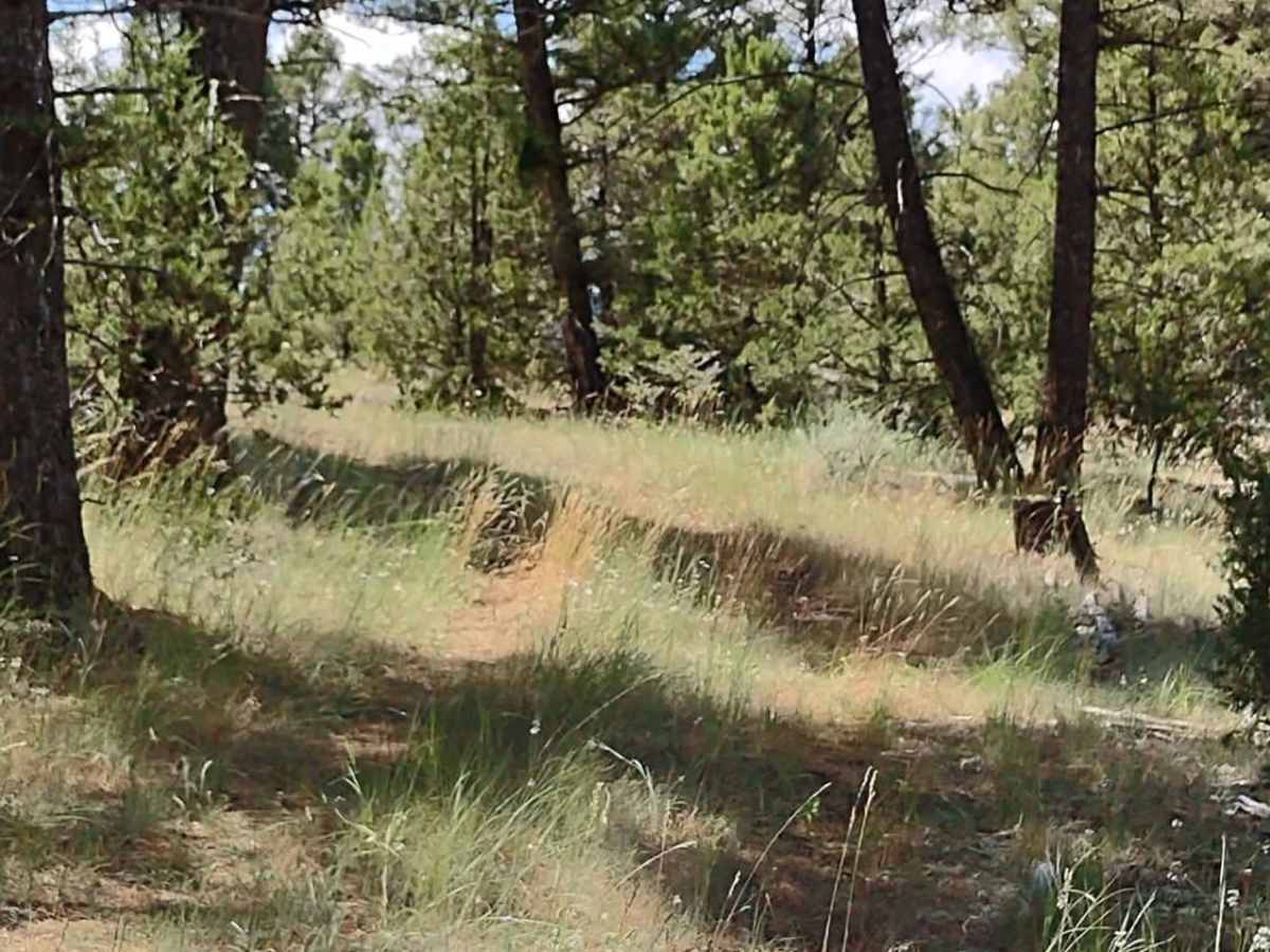
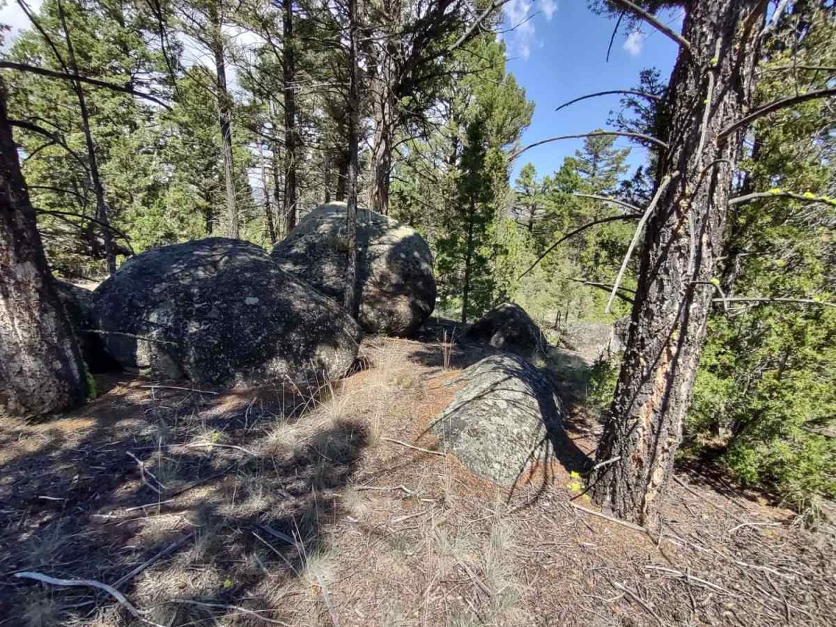
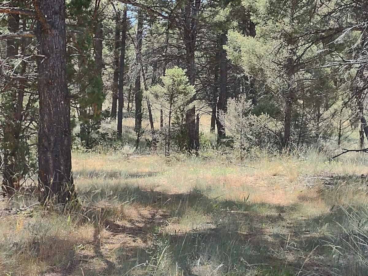
Trail Less Traveled is a short, secluded one-mile route winding through a quiet corner of the Beaverhead-Deerlodge National Forest, perfect for offroaders seeking a peaceful escape with excellent options for tent camping and scenic picnicking away from the crowds. Winding through dense trees and minor boulder fields, the route gains a gentle 184 feet of elevation, climbing from 5,456 feet to 5,640 feet. While the physical terrain is straightforward with a technical rating of 2, the primary challenge is route-finding, as extremely low traffic means the track can occasionally fade into the surrounding forest floor.
High-clearance four-wheel-drive vehicles, SUVs, and SxSs will easily navigate this trail, which features no water crossings or steep grades. To reach the trailhead from Highway 69 in Boulder, Montana, take Whitetail Road (399) toward Whitehall, turn west onto State Creek Road, and then take the left branch onto Hay Creek Trail at the first fork. Because of the extensive network of intersecting trails in this portion of the national forest, carrying extra fuel and offline maps is highly recommended for a full day of exploration.
Difficulty
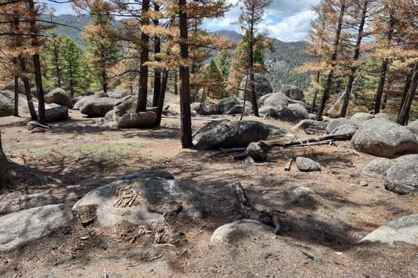
There are no water crossings, and no steep grades. You do navigate through some boulder fields and trees, but it's an easy trail.