South Baldy Loop

Total Miles4.1
Technical Rating
4Moderate
Best TimeSummer, Fall
Trail TypeFull-Width Road
Accessible By
Open Trail Map

Trail Overview

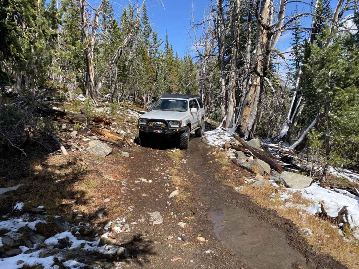
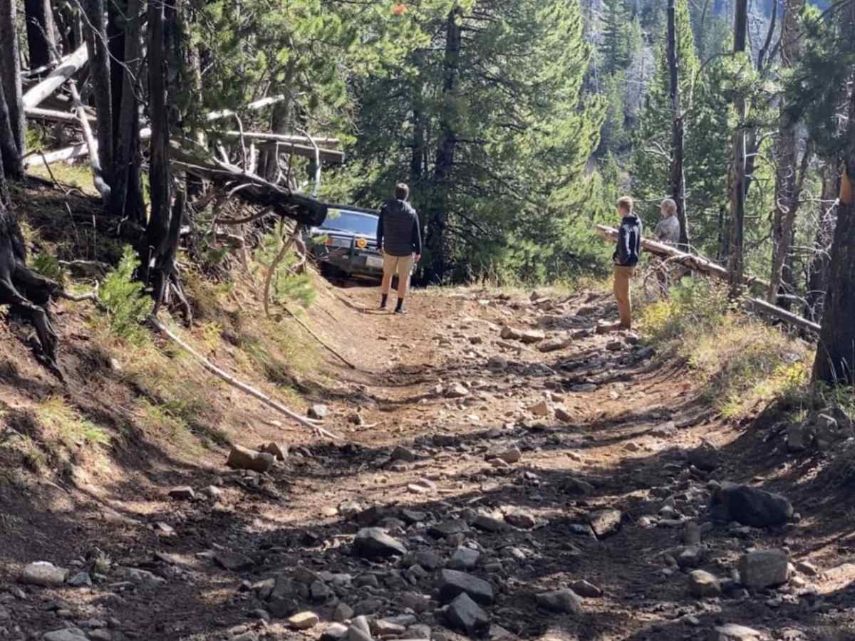
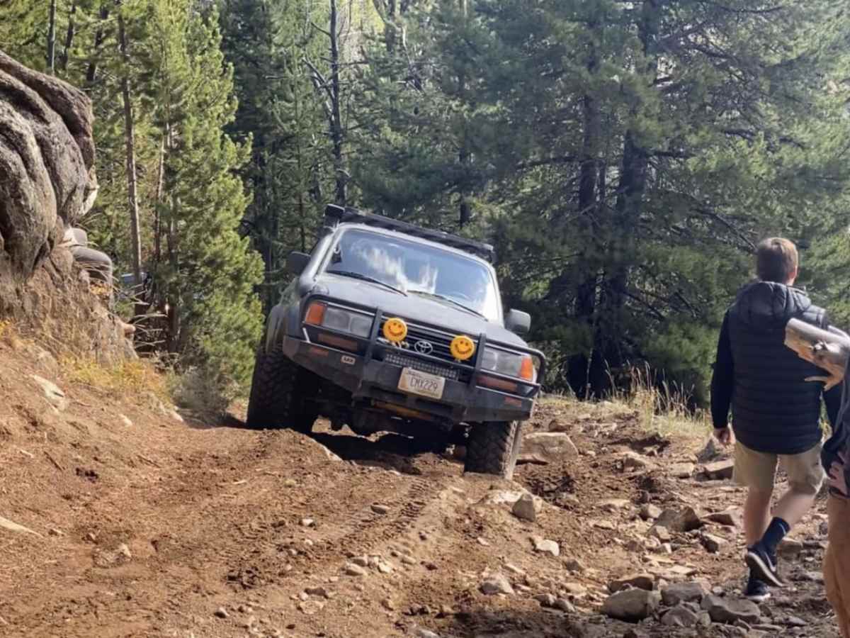
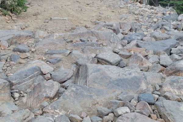
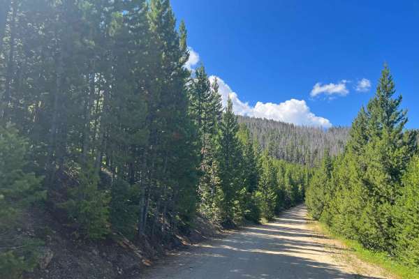
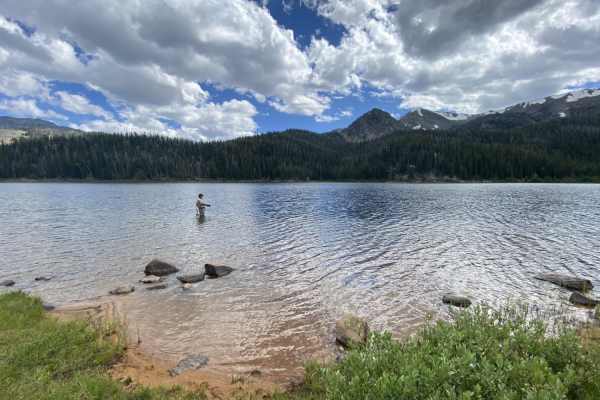
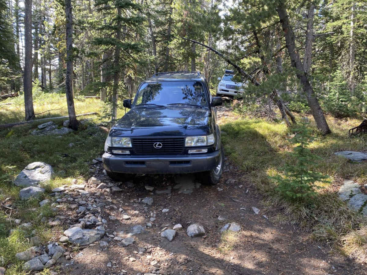
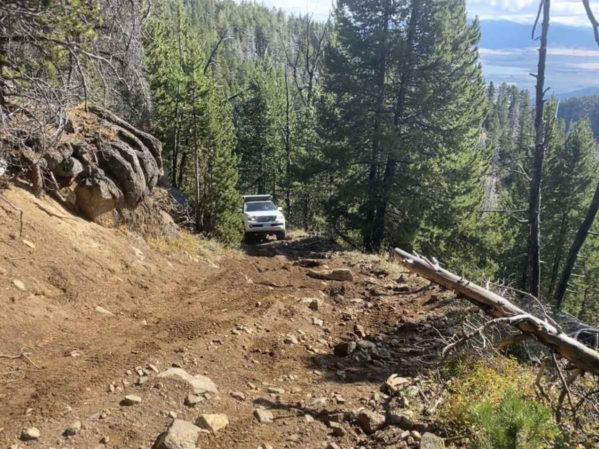
The South Baldy Loop is a moderately challenging, high-elevation trail tailored for high-clearance 4WD vehicles, UTVs, and seasoned offroaders looking to explore the rugged beauty of the Tobacco Root Mountains. Spanning approximately 4.1 miles, this scenic loop climbs from a starting elevation of 7,571 feet up to a peak of 9,127 feet, offering panoramic views of the surrounding peaks and valleys of southwest Montana. Drivers will negotiate a primary surface of dirt, loose rock, and occasional gravel, with a technical rating of 4 out of 10. The route features steady elevation changes with a total climb of 1,666 feet and maximum gradient angles reaching nearly 20 degrees, demanding careful line choice and consistent traction. Navigating this route requires a vehicle equipped with decent ground clearance and low-range four-wheel drive to confidently handle the steeper switchbacks and rocky sections. The trail is typically accessible from late spring through early autumn, depending on high-country snowpack which can linger late into the summer season. Along the way, offroaders can enjoy the remote alpine scenery, dense evergreen forests, and meadows characteristic of the Beaverhead-Deerlodge National Forest.

Photos of South Baldy Loop

Technical Rating

4

Status Reports

Add Status Report
Steve Holland
Aug 17, 2023
Open
Normal
Aaron Cavanaugh
Jul 14, 2023
Open
Rough/Deteriorated
Brad Long
May 29, 2023
Obstructed
Deep Snow

South Baldy Loop Trail can be accessed by the following ride types:

  • Single Track
  • 50 Inch
  • 60 Inch
  • High Clearance
  • Full Width

Access Description

The South Baldy Loop is located within the Beaverhead-Deerlodge National Forest. No permits or fees are required for standard recreational off-road use. Off-highway vehicles (OHVs) must be registered and display a valid Montana OHV decal. High-elevation routes are subject to seasonal closures due to winter snowpack or local wildlife protection efforts; checking with the Madison Ranger District in Ennis is recommended prior to travel.
South Baldy Loop Map

The onX Offroad Difference

onX Offroad combines trail photos, descriptions, difficulty ratings, width restrictions, seasonality, and more in a user-friendly interface. Available on all devices, with offline access and full compatibility with CarPlay and Android Auto. Discover what you're missing today!

Open Trail Map