Trail Overview
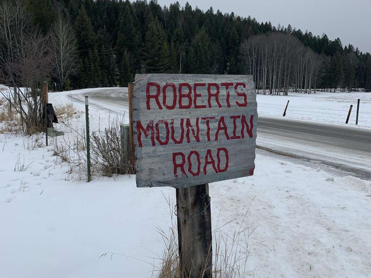
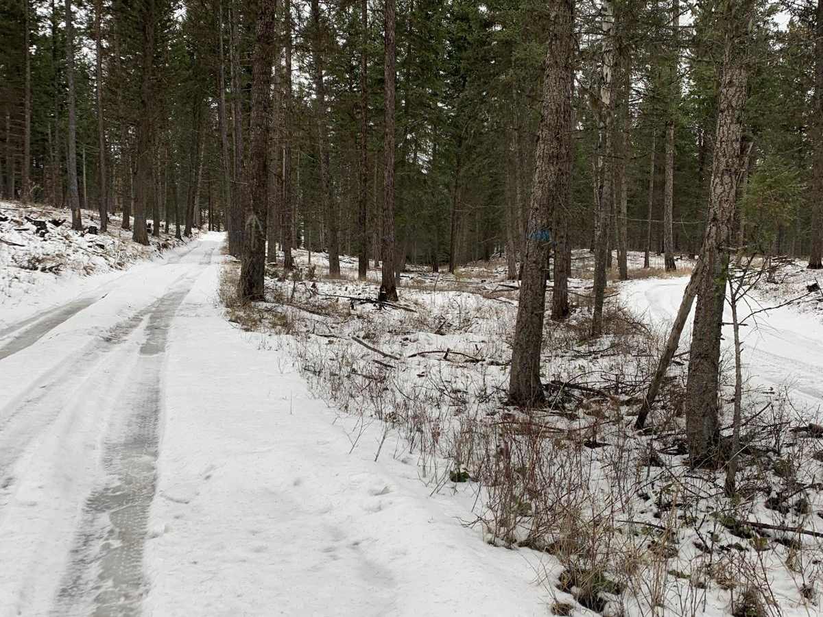
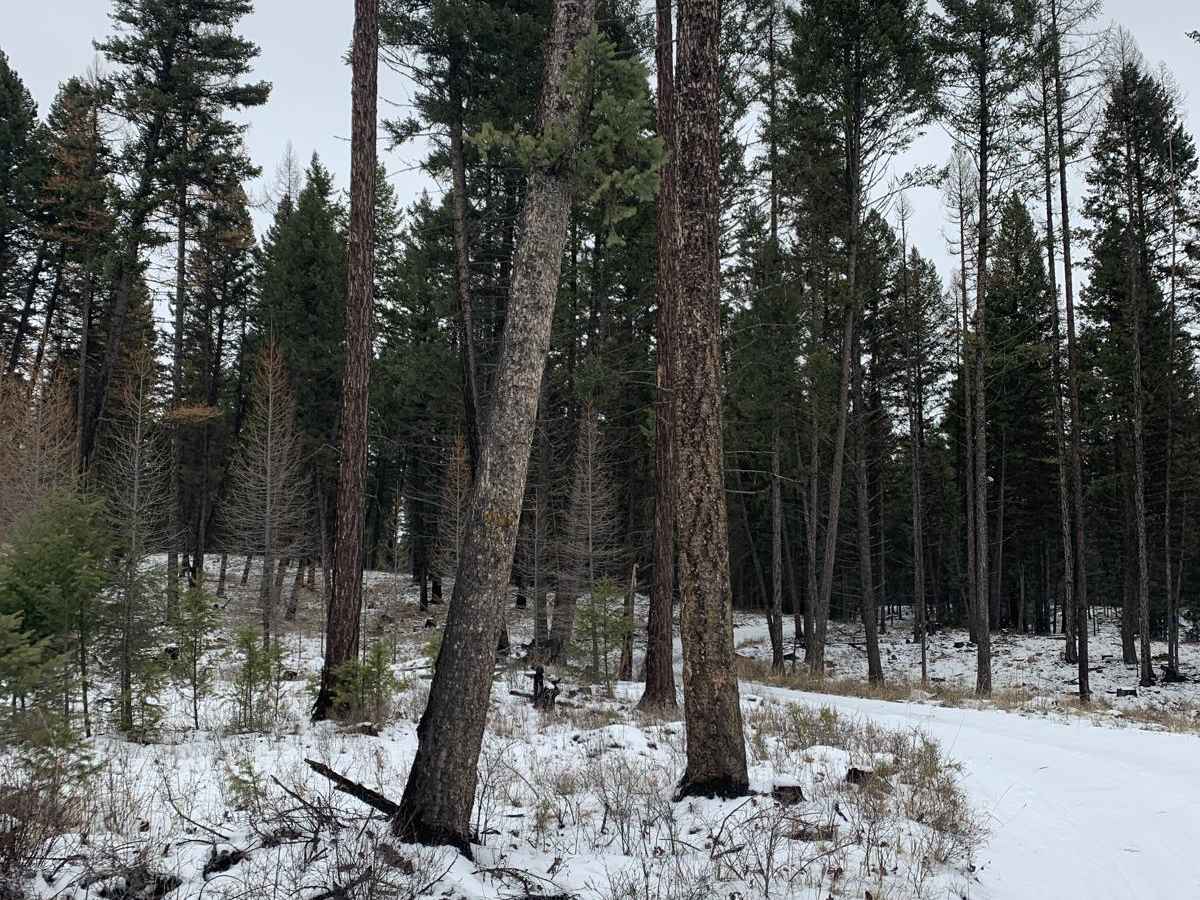
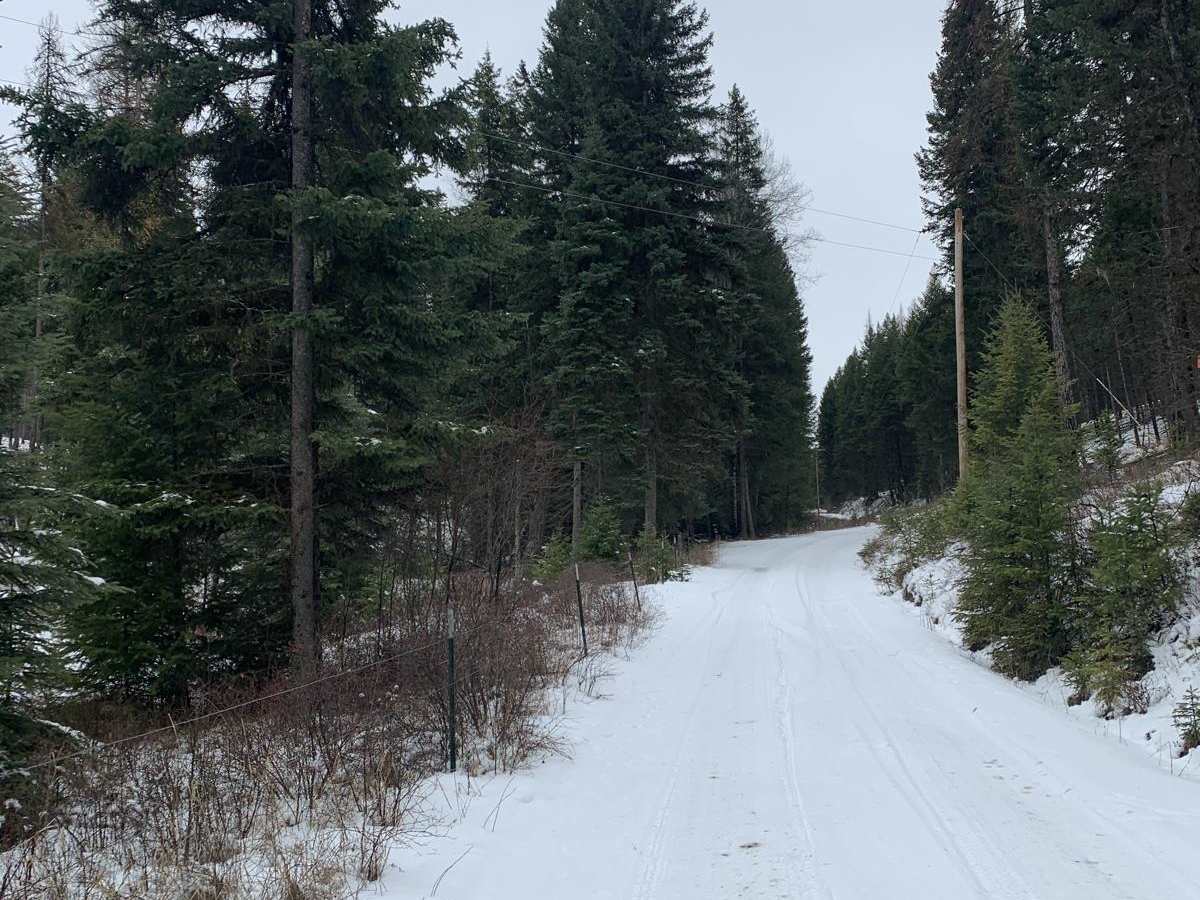
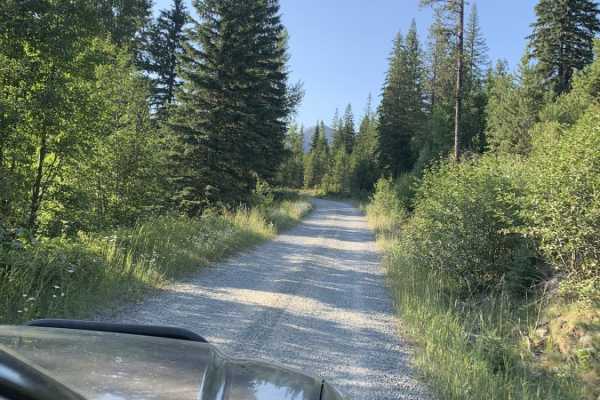
Robert's Mountain Trail is a scenic, 5.5-mile off-road route through the Kootenai National Forest in northwest Montana. Starting off Meadow Creek Road, the point-to-point dirt road climbs gradually from 3,039 feet to a peak of 3,331 feet, winding through dense pine and larch forests.
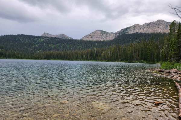
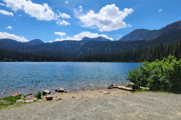
Rated 3 out of 10, the dirt trail is manageable for high-clearance 4WD vehicles and stock SUVs under dry conditions. Drivers will encounter minor mud pits and a few short, rough climbs. Side trails lead to Homes Lake and Loon Lake for fishing and dispersed camping. The route is best traveled from late spring through autumn.
Access Description
The trail is located within the Kootenai National Forest and is subject to US Forest Service regulations. No fees or permits are required for standard day-use or dispersed camping along the route. High-clearance vehicles are recommended, and the road is subject to seasonal closures due to winter snowpack, typically remaining impassable from late November through May.