Trail Overview
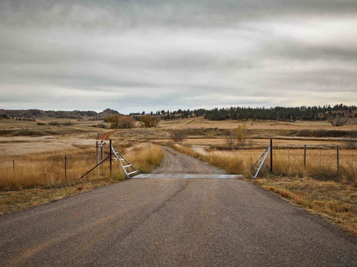
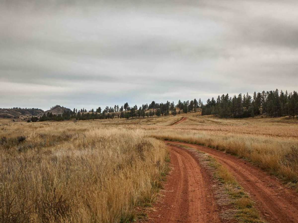
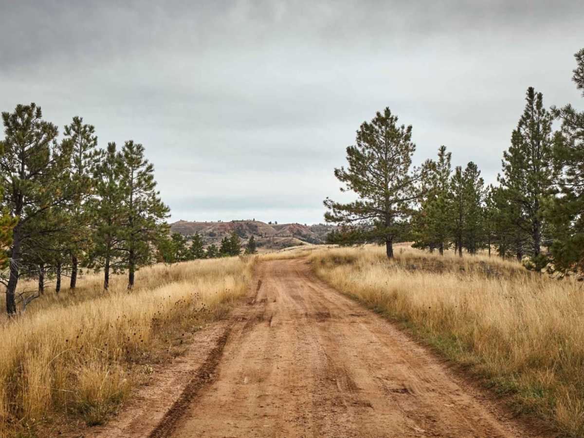
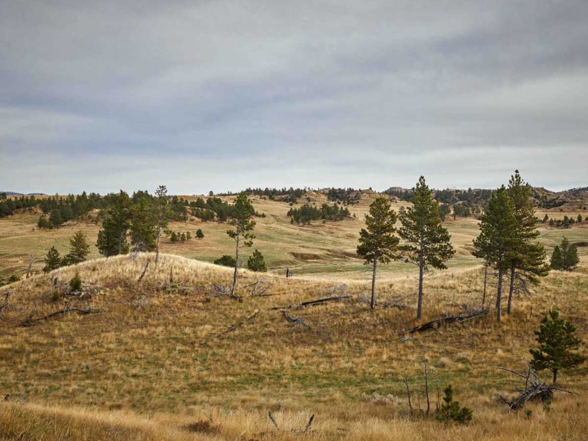
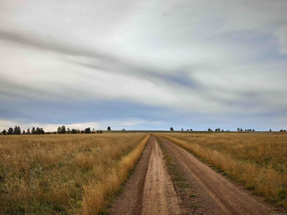
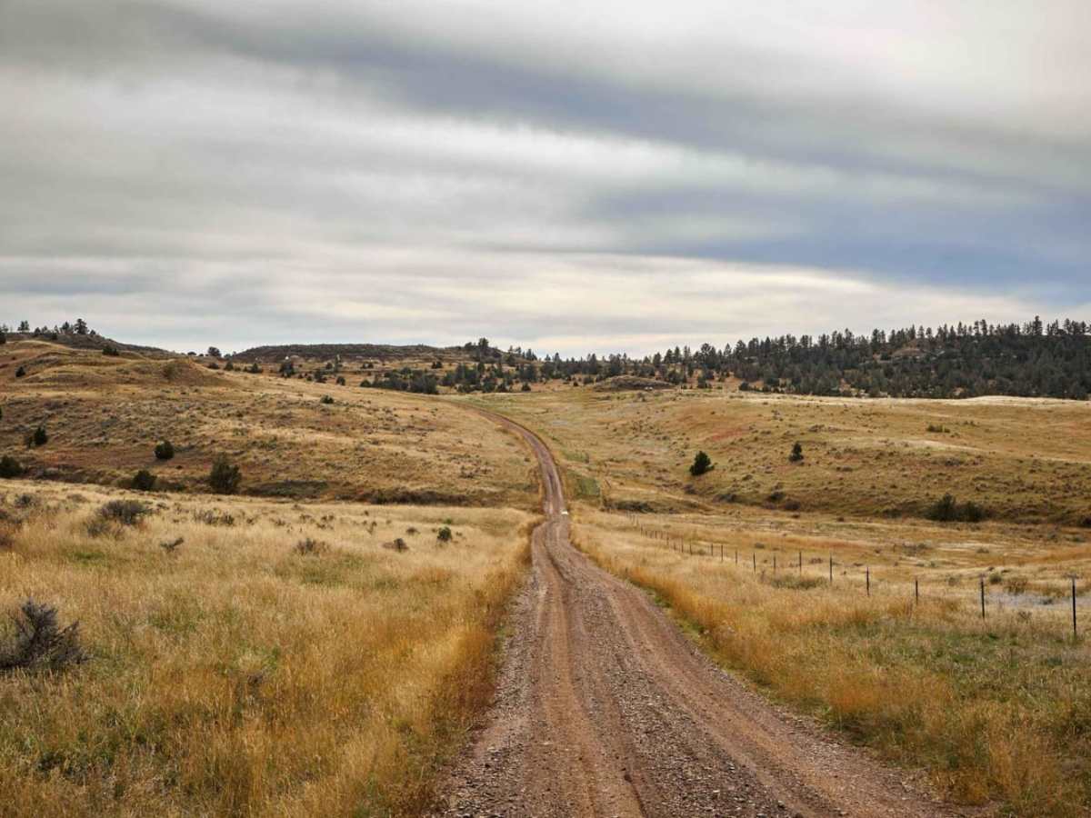
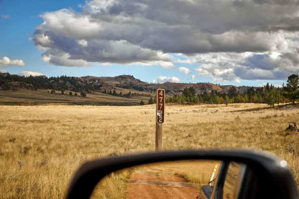
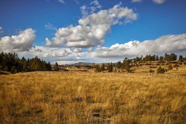
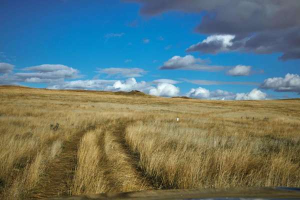
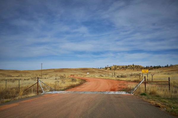
Red Top Hill Road is an easy, scenic dirt and rock route perfect for beginners, stock four-wheel-drive vehicles, and those looking to experience the vast, rolling prairies of southeastern Montana. Running roughly 4.2 miles through the Custer National Forest, this single-lane trail starts off US Highway 212 and winds south towards Red Top Hill, rising to a peak elevation of 3,429 feet. The route features gentle grades with an average gradient of just over two degrees and a maximum slope of ten degrees, making it highly accessible. Travelers will enjoy panoramic views of expansive prairies, rugged buttes, and wide-open skies typical of the region's unique landscape.
With a technical rating of 1, the trail consists of a well-maintained dirt and rock surface that remains clear of major obstacles, though occasional shallow mud holes may form after rain. Standard stock four-wheel-drive vehicles, SUVs, and SxSs can easily navigate the terrain without requiring high clearance or specialized equipment. Wildlife is abundant along the path, which passes through active prairie dog towns and grazing pastures where drivers should watch for cattle. Because there are no designated campsites and the trail dead-ends at the private Tarter Ranch, visitors must respect property boundaries, stay on the designated route, and plan for an out-and-back day trip.
Access Description
Red Top Hill Road is situated within the Custer National Forest but terminates at the private Tarter Ranch. No trespassing is allowed beyond the designated route, and visitors must respect the private property boundaries at the southern end. There are no campsites along this road.