Trail Overview
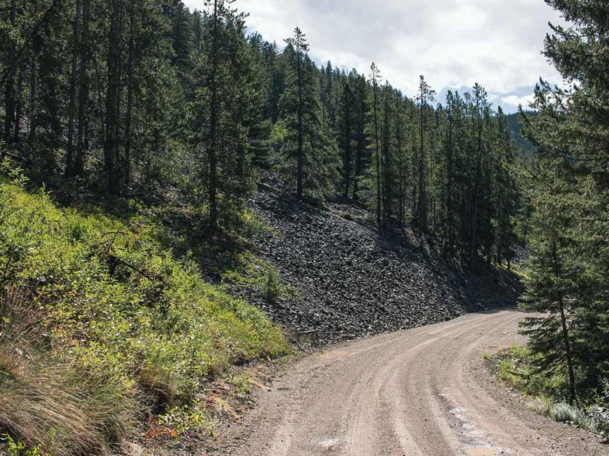
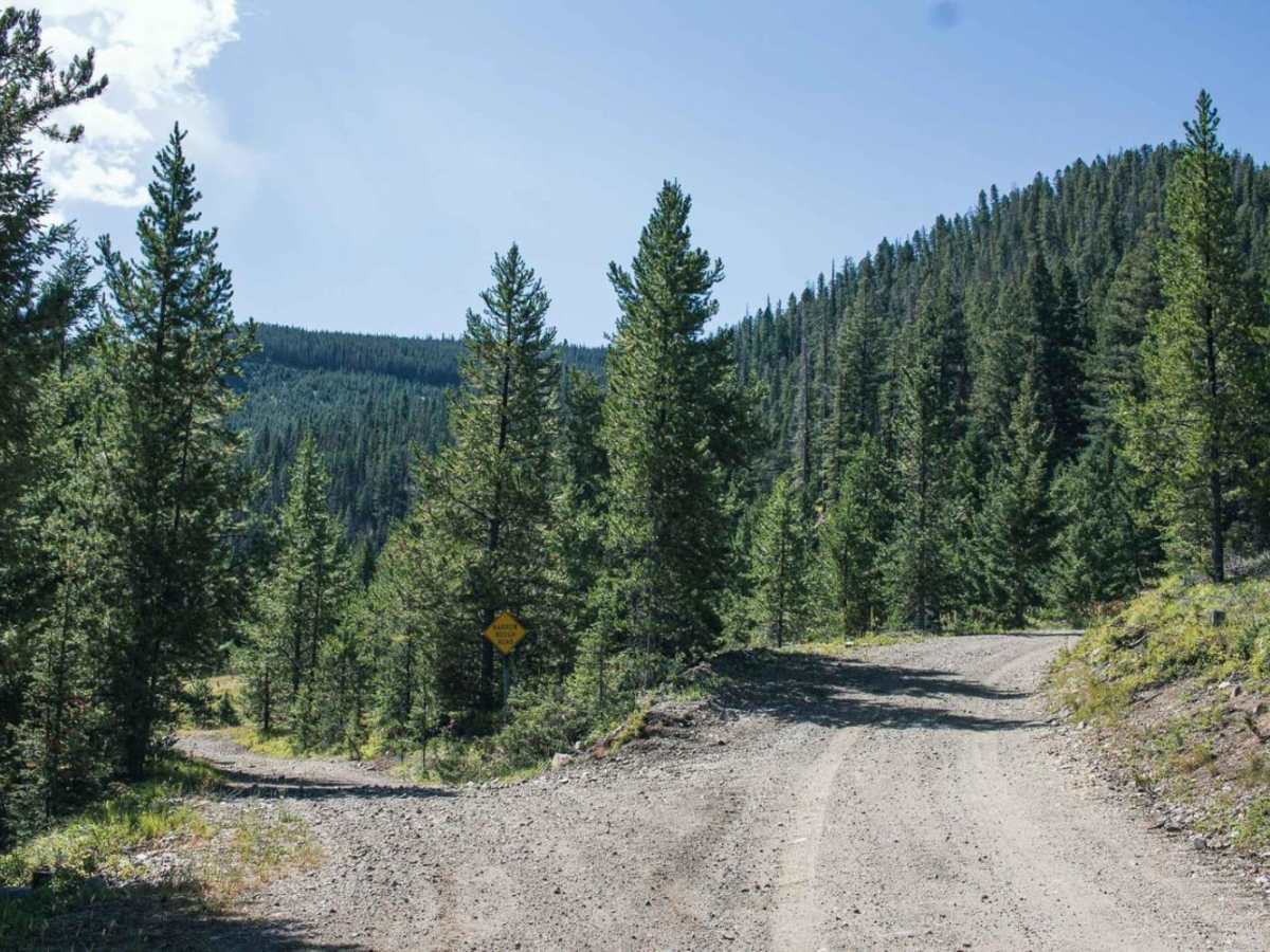
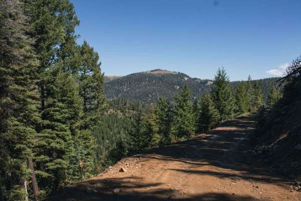
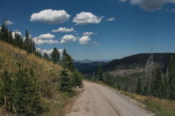
Ontario is an inviting, scenic trail perfect for beginner offroaders and those looking for a relaxed mountain drive with ample group camping opportunities. Spanning approximately 2.1 miles through the rugged terrain near the Little Blackfoot River, this route features a primarily dirt and rock surface that becomes challenging and slick after rain or snow. With a mild technical rating of 2, the trail climbs gently from an elevation of 5,614 feet to its peak at 5,937 feet, gaining around 354 feet along the way. While generally easy to navigate, drivers should be prepared for tight sections with limited passing room, requiring caution when encountering oncoming traffic.
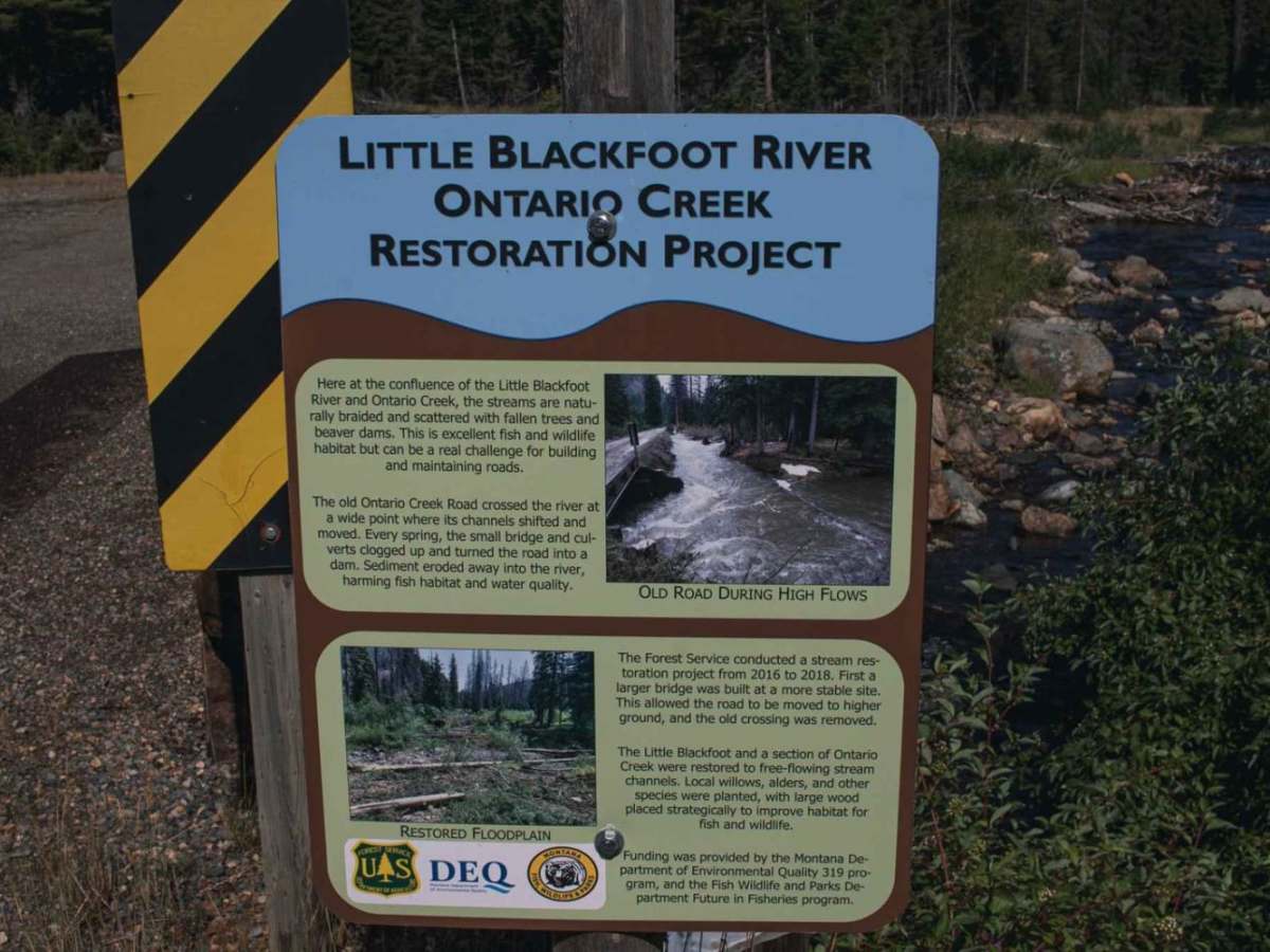
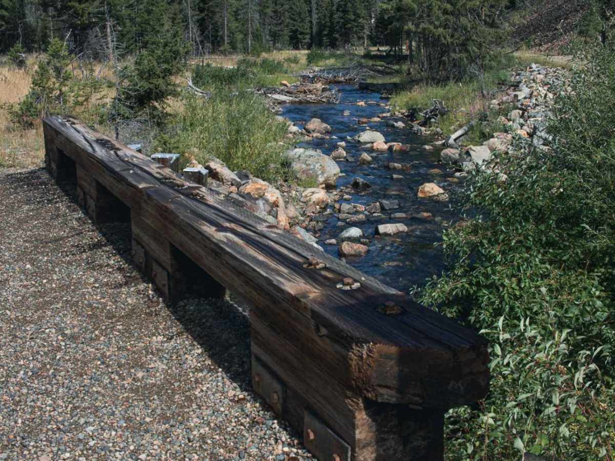
A recent bridge blowout has prompted a permanent reroute, but access remains open to enjoy the sweeping forest views and multiple spacious campsites capable of accommodating large groups. The route is accessible to high-clearance four-wheel-drive vehicles, SUVs, and SxSs, though winter snow or heavy rain can significantly degrade the unmaintained surface. Route finding is straightforward as the trail winds along the scenic drainage, connecting with Forest Service Road 123. Travelers should pack out all trash and tread lightly to preserve the pristine dispersed camping sites scattered along this short mountain pass.