Trail Overview
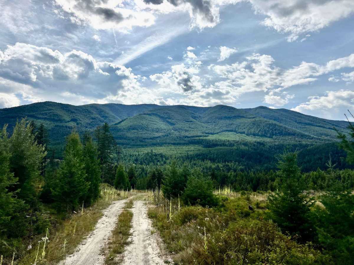
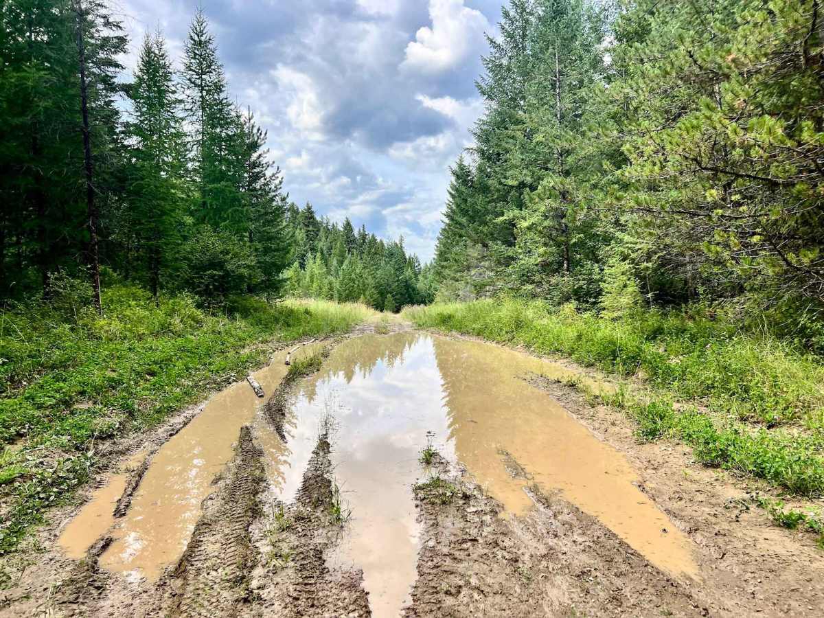
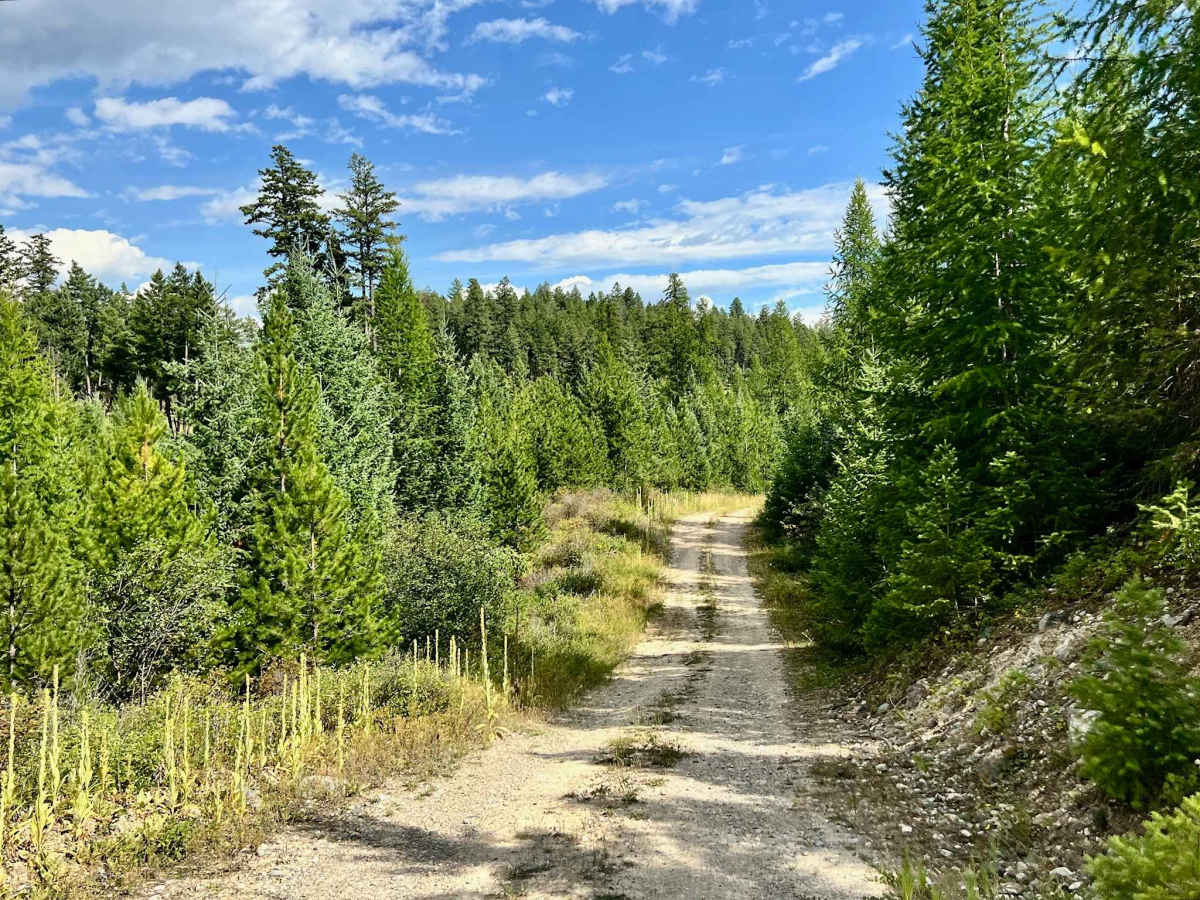
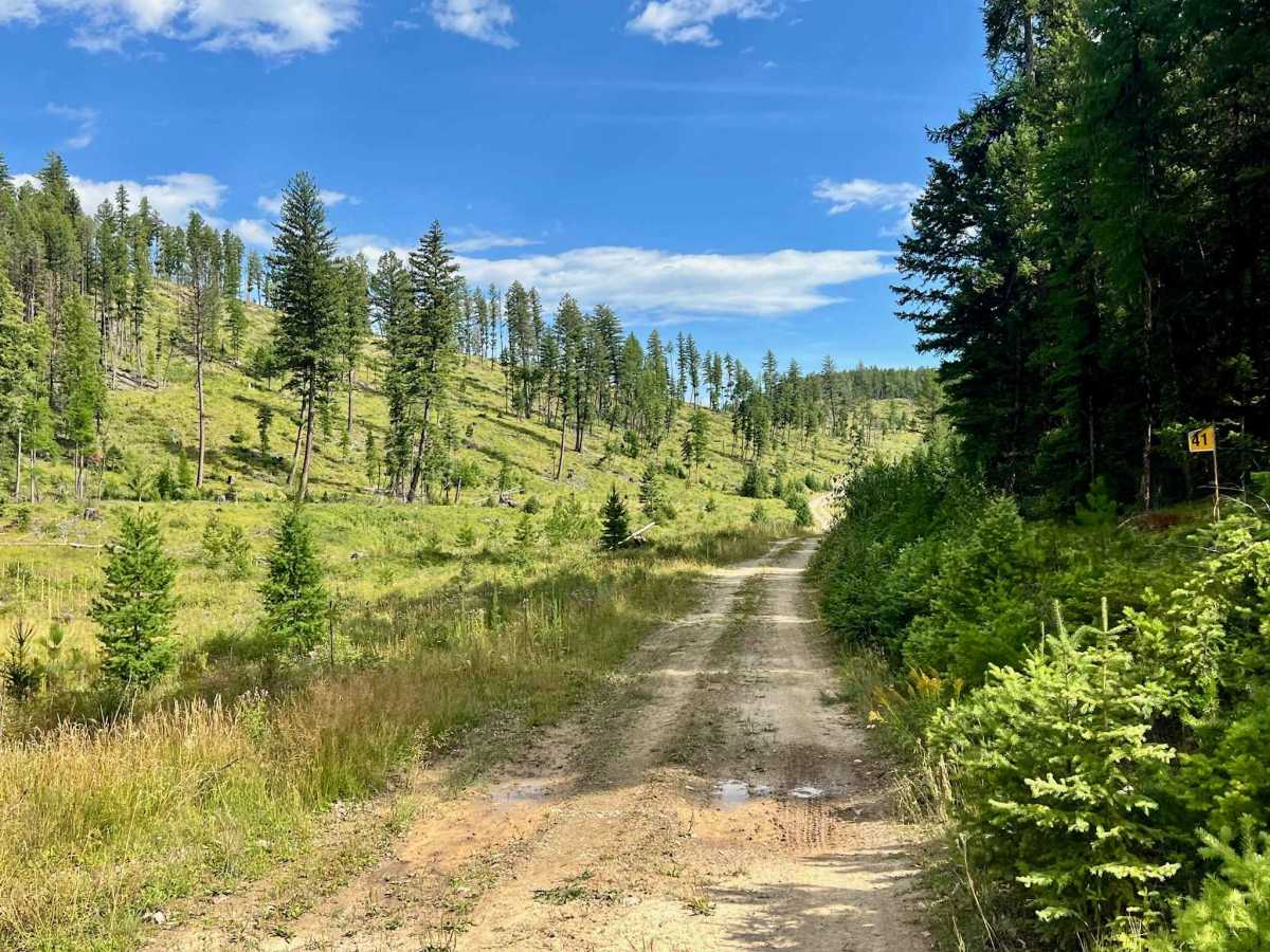
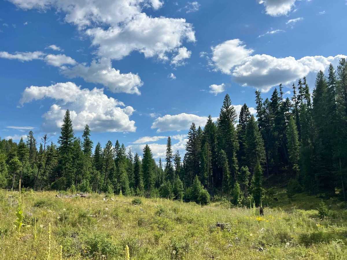
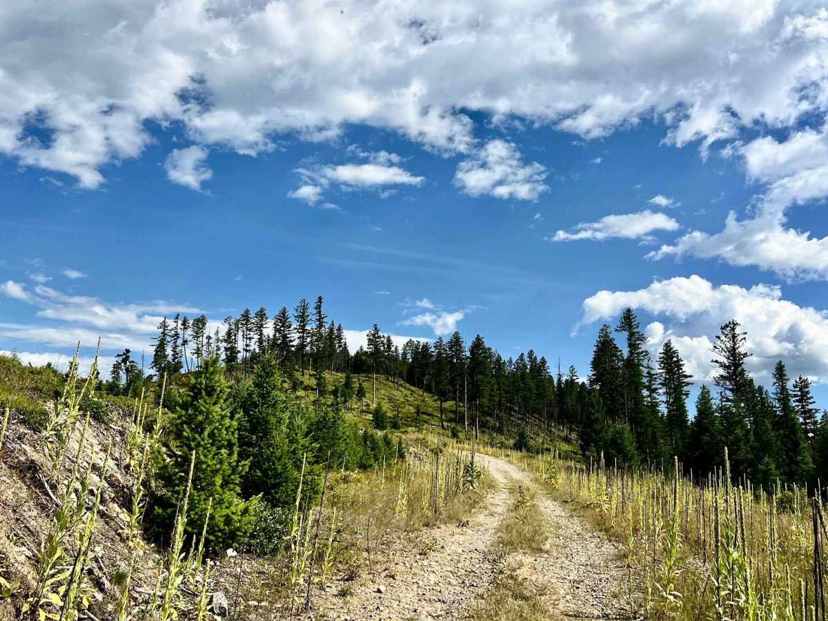
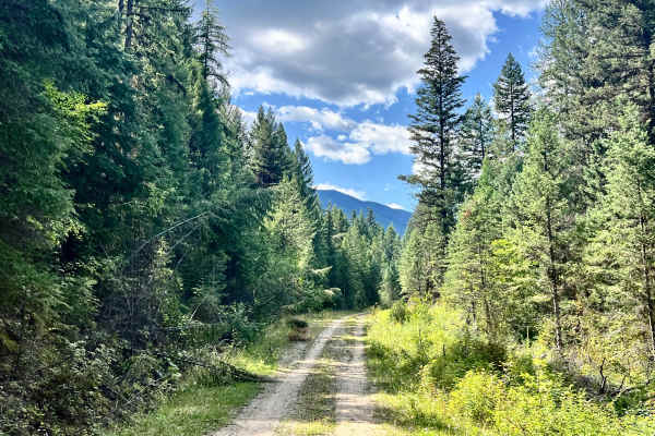
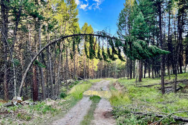
This out-and-back trail is mostly an easy route. However, if it's been wet, there can be some super challenging muddy sections. It cruises right along through fields of flowers and dense forest. There are areas that logging operations cleared at some point, offering fantastic views of Lake Koocanusa and the surrounding mountains. There is evidence of past campers in a few really great open spots. This trail has hardly any other traffic. There are plenty of offshoot trails to explore, each with its own different variation of a beautiful view. One bar of Verizon cell service fades in and out along the route.
Difficulty
The trail can be muddy in wet conditions, so a 4x4 vehicle with good clearance is recommended due to the possibility of deep mud, especially at the beginning, right off the LinkLater trail.
History
North Meadow Creek lies within the Koocanusa Recreation Management Area (KMRA). It has historically been known for its beautiful views, logging, and peace. The area lies on Ktunaxa land. The creation of Lake Koocanusa by the Libby Dam project in the late 1960s and early 1970s transformed the landscape, bringing new recreational opportunities and significant environmental changes. The KRMA was established to manage and enhance recreational opportunities in the Lake Koocanusa area while protecting natural resources. The KRMA encompasses a large area of Crown land and offers a wide range of recreational activities, including camping, hiking, boating, fishing, and off-roading. The KRMA is managed by the British Columbia Ministry of Forests, Lands, Natural Resource Operations, and Rural Development. It is important to check their website for any closures or restrictions.