Trail Overview
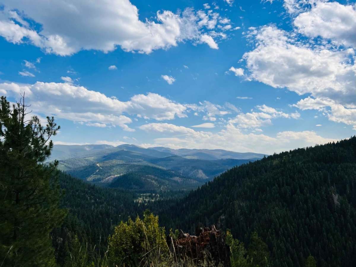
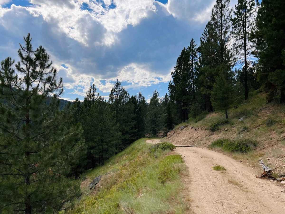
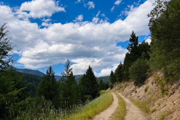
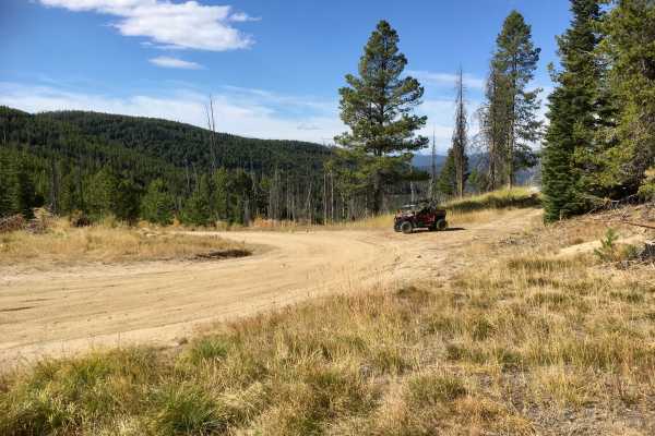
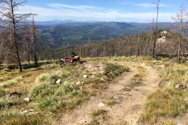
Moose Bush Ridge is an engaging 2.5-mile trail designed for intermediate offroaders seeking stunning high-elevation mountain vistas along a rugged, scenic ridgeline in the Bitterroot National Forest. Splitting off from the Bush Moose Ridge Trail, this route immediately tests drivers and their four-wheel-drive vehicles or SxSs with continuous challenges, alternating between deep ruts and crater-sized potholes. The trail climbs to a peak elevation of 5,961 feet, offering breathtaking panoramic views of opposing mountain ranges as you traverse the narrow crest. Because of the tight, single-vehicle shelf sections and steep, unforgiving cliffside drops, drivers must maintain absolute focus and be prepared for limited opportunities to pass or turn around.
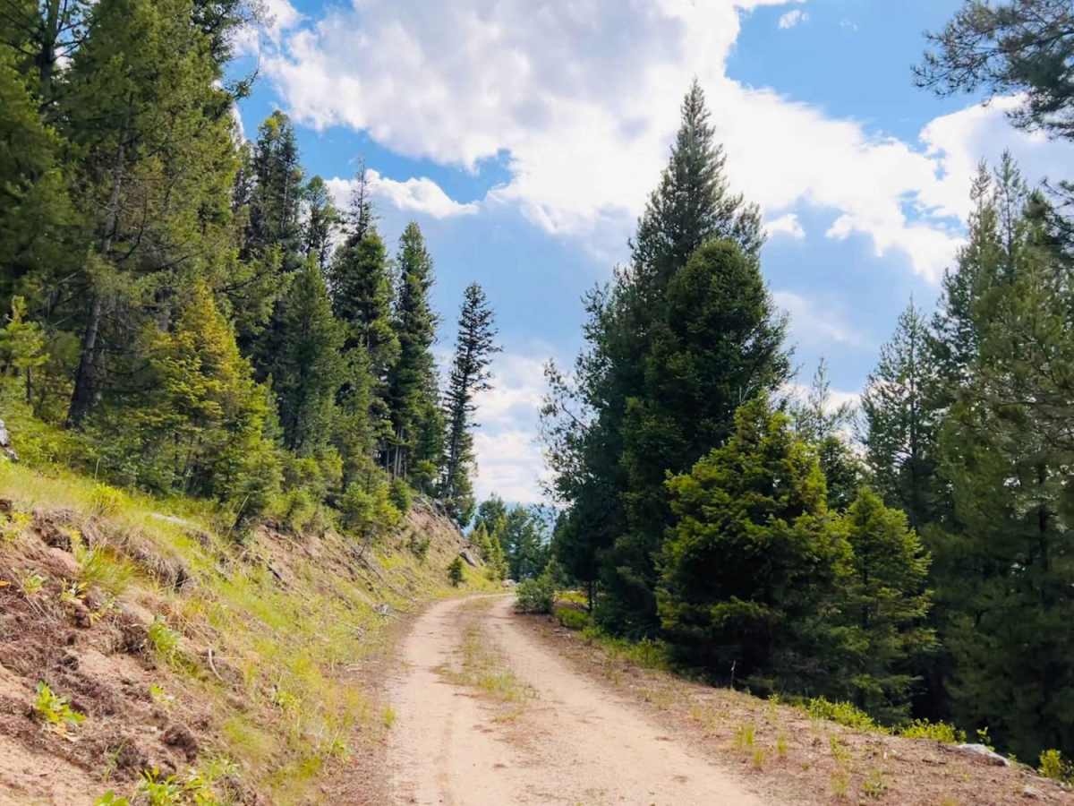
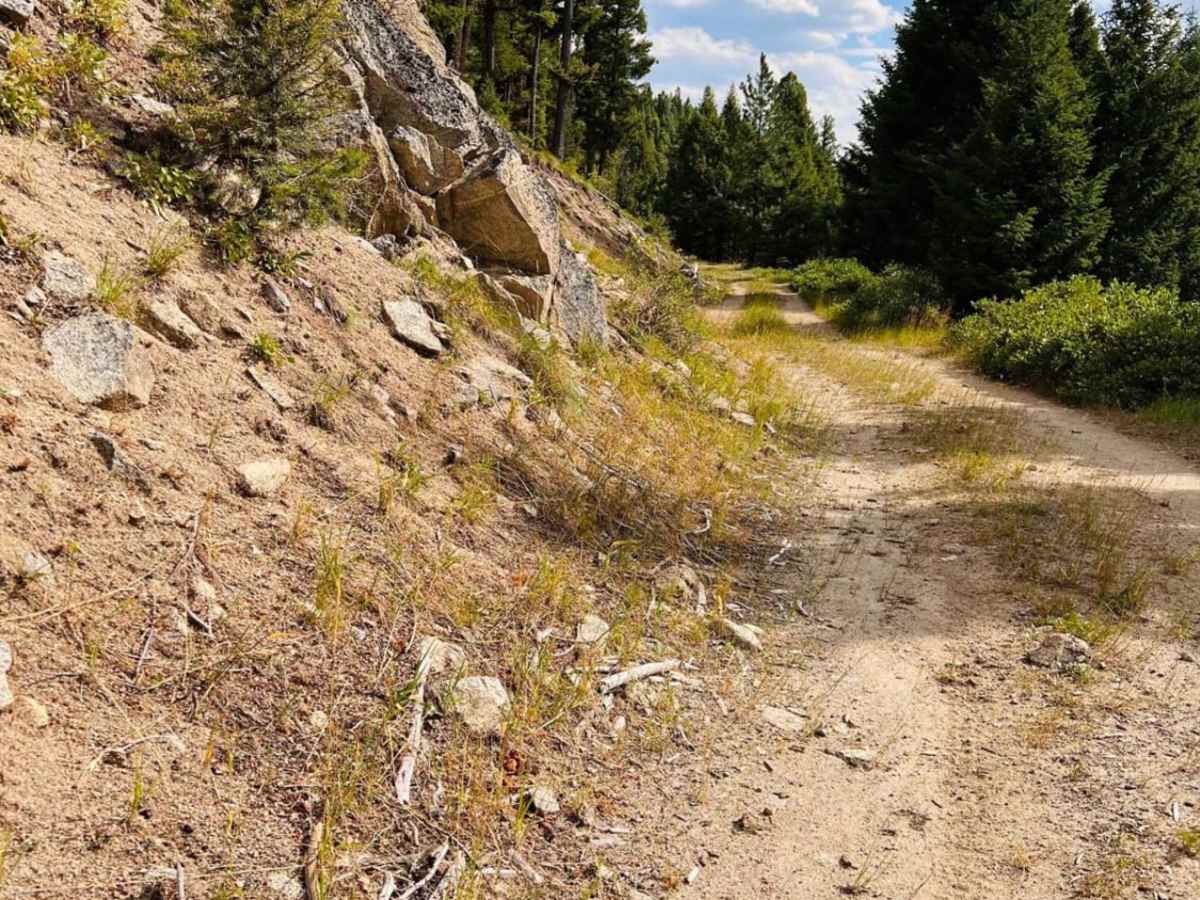
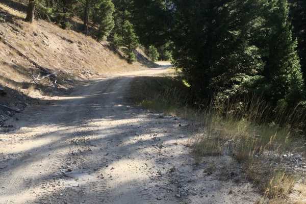
With a technical rating of 4, the terrain demands decent ground clearance and attentive driving, particularly when navigating the persistent ruts and severe potholes that dominate the surface. This unpaved route has no winter maintenance, and visitors during the spring or after major storms should come equipped with chainsaws or recovery gear to clear inevitable deadfall and downed trees. There is no cell service in this remote area, so planning ahead and downloading offline maps is essential for a safe trip. While there are no apparent dispersed campsites along the trail, the area provides excellent access for seasonal hunting, making it a valuable connector for sports enthusiasts exploring the rugged Montana backcountry.
Access Description
This trail has no winter maintenance and has zero cellular service. Travelers should download offline maps before heading out. Downed trees and deadfall are common, especially during spring or after storms, so carrying recovery gear and tree-clearing equipment like a chainsaw is highly recommended.