Trail Overview
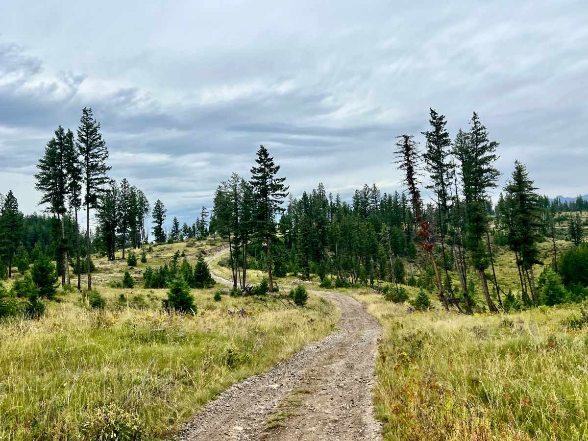
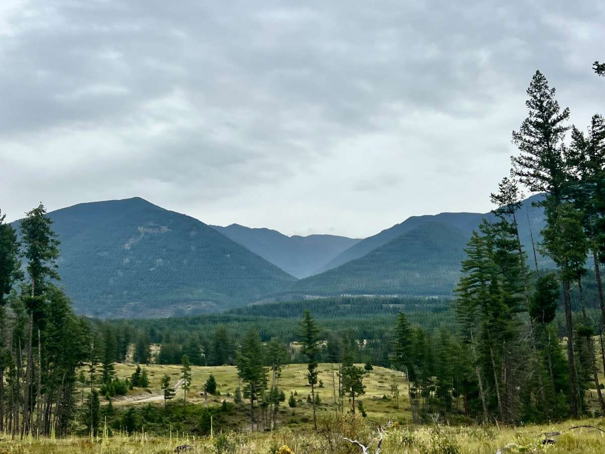
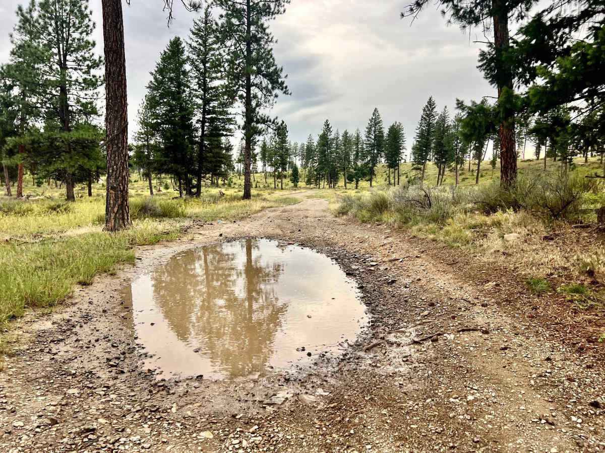
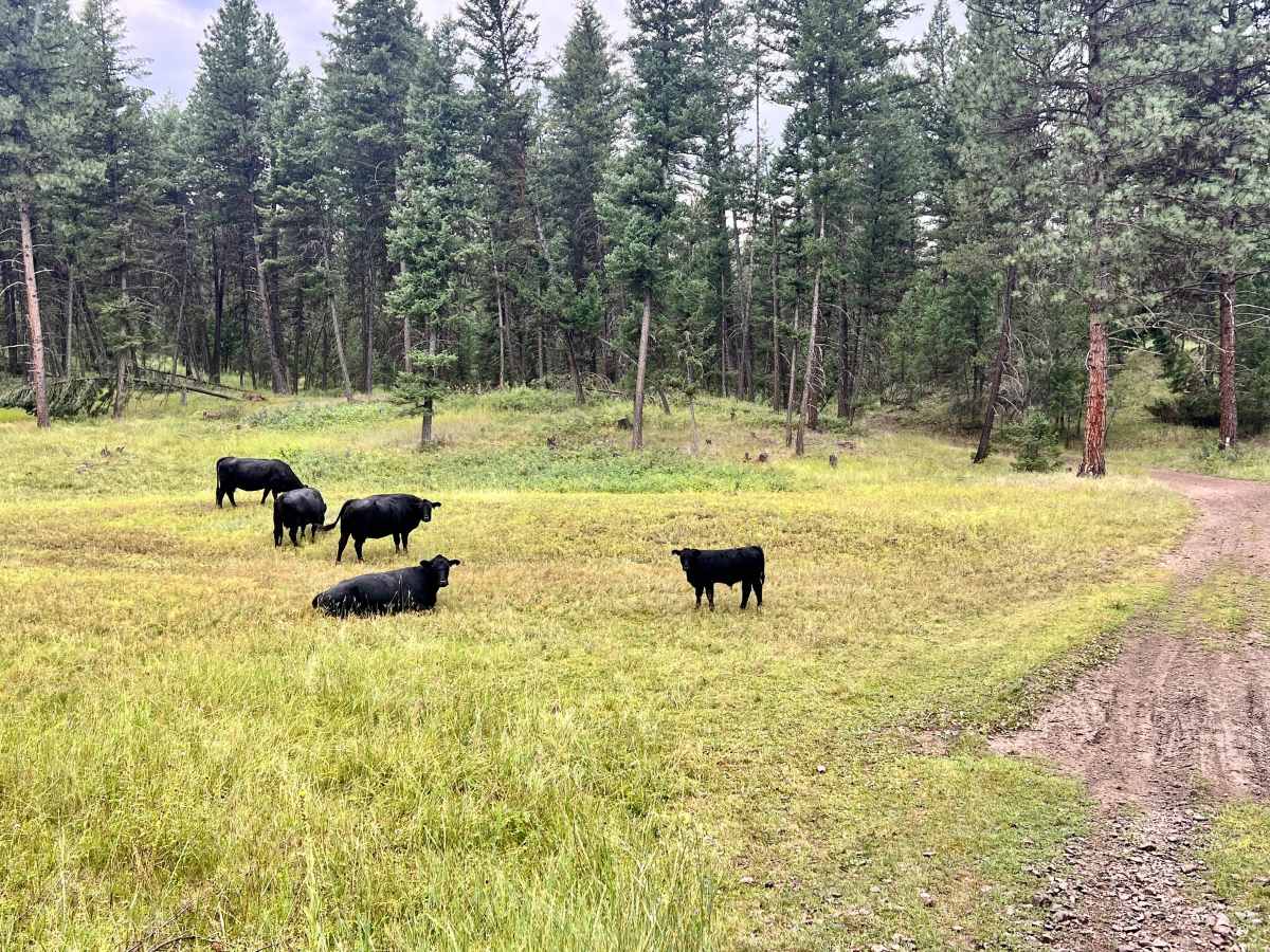
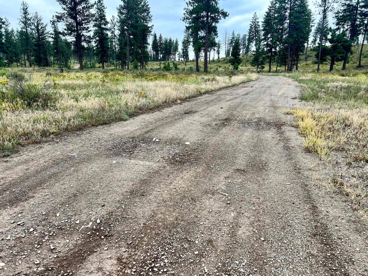
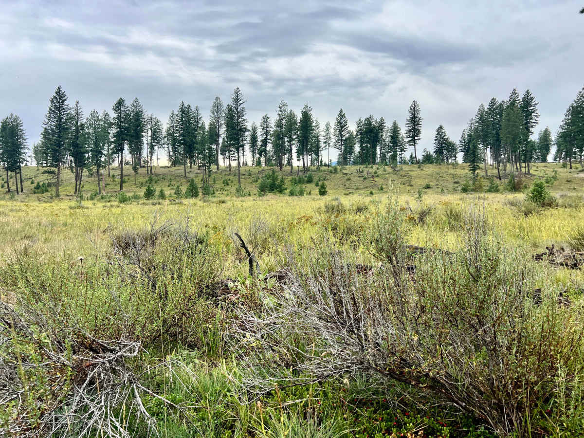
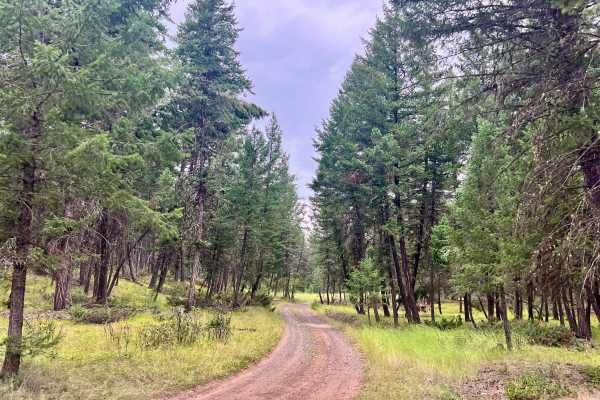
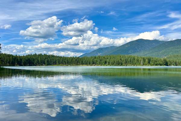
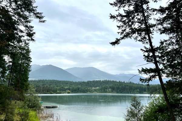
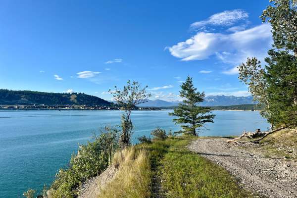
This trail begins after passing through the pleasant Loon Lake Campground, heading north into the wilderness. Loon Lake Campground itself is a welcoming place, with open trees, children playing, and excellent lake access. You'll find pit toilets, fire rings, and picnic tables, and if you're fortunate, a spot to hang a hammock. Heading north from the campground corner, the trail enters a dense forest with some decent-sized mud holes and limited opportunities to pull over for oncoming traffic. After traversing some small meadows with grazing cattle, the trail ascends a hill, opening up to scenic meadows with great views of the Whitefish Range to the east. Be prepared for a loose, rocky hill climb and more mud holes along the way. This area may be impassable when very wet. The trail eventually links up with the Grasmere Staging Loop trail, which will lead you back to the main highway and staging area. Cell service in the Lake Koocanusa area can be intermittent. To ensure you have consistent map coverage, please download your offline maps before exploring the area. Crown Land Camping: Canadian Crown land is open to Canadian residents for free camping. Out-of-country visitors, particularly from the US, will need to obtain a camping permit from the nearest FrontCounter BC office in Cranbrook before camping on Crown land if camping outside of the paid campsite.
Difficulty
This is a narrow, overgrown trail in some places, with limited places for oncoming vehicles to pass or pull over. There is a loose rocky hill climb and deeper mud holes that could make the trail impassable early or late in the season or after a heavy storm.
History
The area north of Loon Lake, situated within the Koocanusa Recreation Management Area, is a landscape shaped by natural forces and human activity. Loon Lake itself has likely been a destination for recreation and respite for many years. The surrounding area, like much of the KRMA, has a history of logging and resource extraction. The Ktunaxa (Kootenai) people have a long-standing connection to this land, and their traditional knowledge informs contemporary approaches to land stewardship. The Whitefish Range is a mountain range located in northwestern Montana and southeastern British Columbia, known for its rugged peaks, pristine forests, and abundant wildlife.