Trail Overview
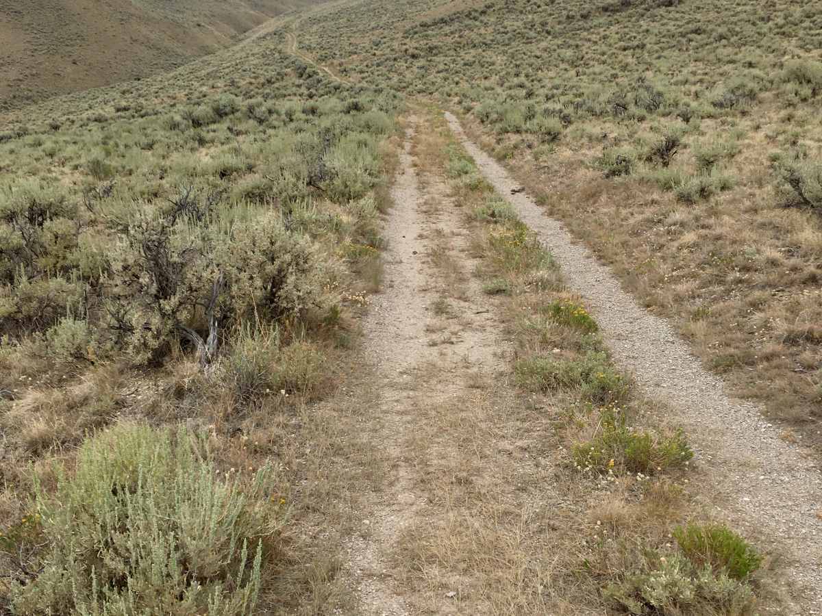
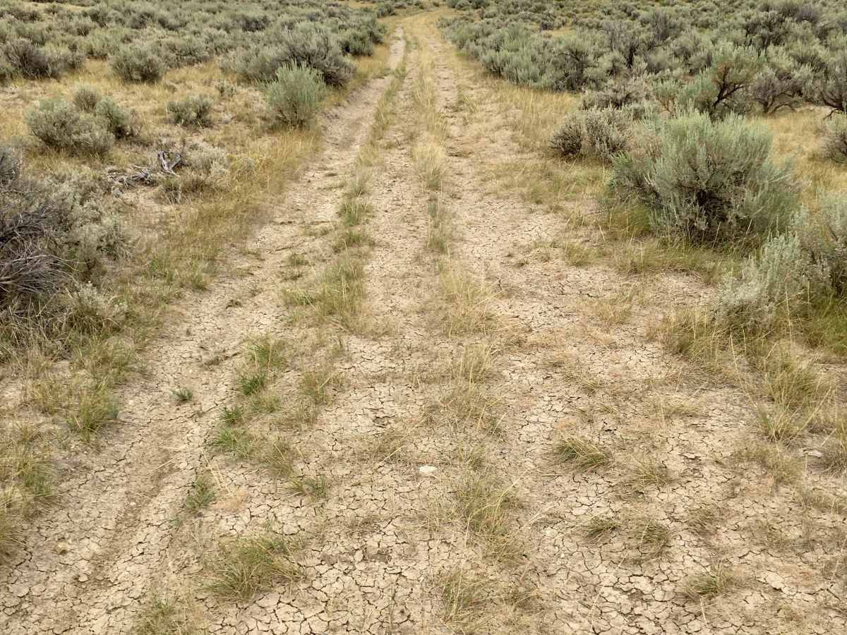
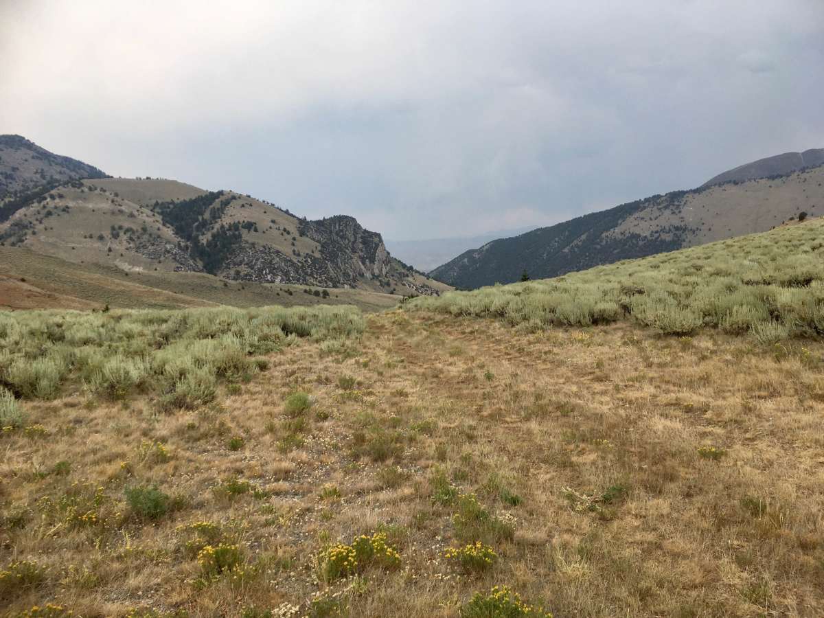
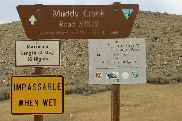
This is a 12-mile road that crosses the Tendoy Mountains and connects the Muddy Creek Valley to Interstate 15 at the Kidd, Montana interchange. This road is labeled as BLM 1857 on the west side of the Tendoys and FS 960 on the east side of the Tendoys. This is a very primitive road. It has not seen any Agency maintenance for decades, and it sees little public travel. There are some serious ruts to be navigated, and the width narrows in several spots due to encroachment of vegetation. All things considered, this road is best suited for 60” SxS, ATV, or motorcycle travel. After crossing the Tendoys from Muddy Creek, the road levels out on State lands. The State leases these pastures for grazing cattle. So there are a lot of, you guessed it, cow patties on the road. Everything is a learning experience, and you will quickly learn how to identify the fresh ones and avoid them. For those who enjoy a primitive experience and welcome absolute solitude, this is your road.
Difficulty
This is a very primitive road with serious ruts, overgrown sections, and a narrowed width. While experienced travelers may be able to navigate it, the route is best suited for 60" side-by-sides, ATVs, or motorcycles.