Trail Overview
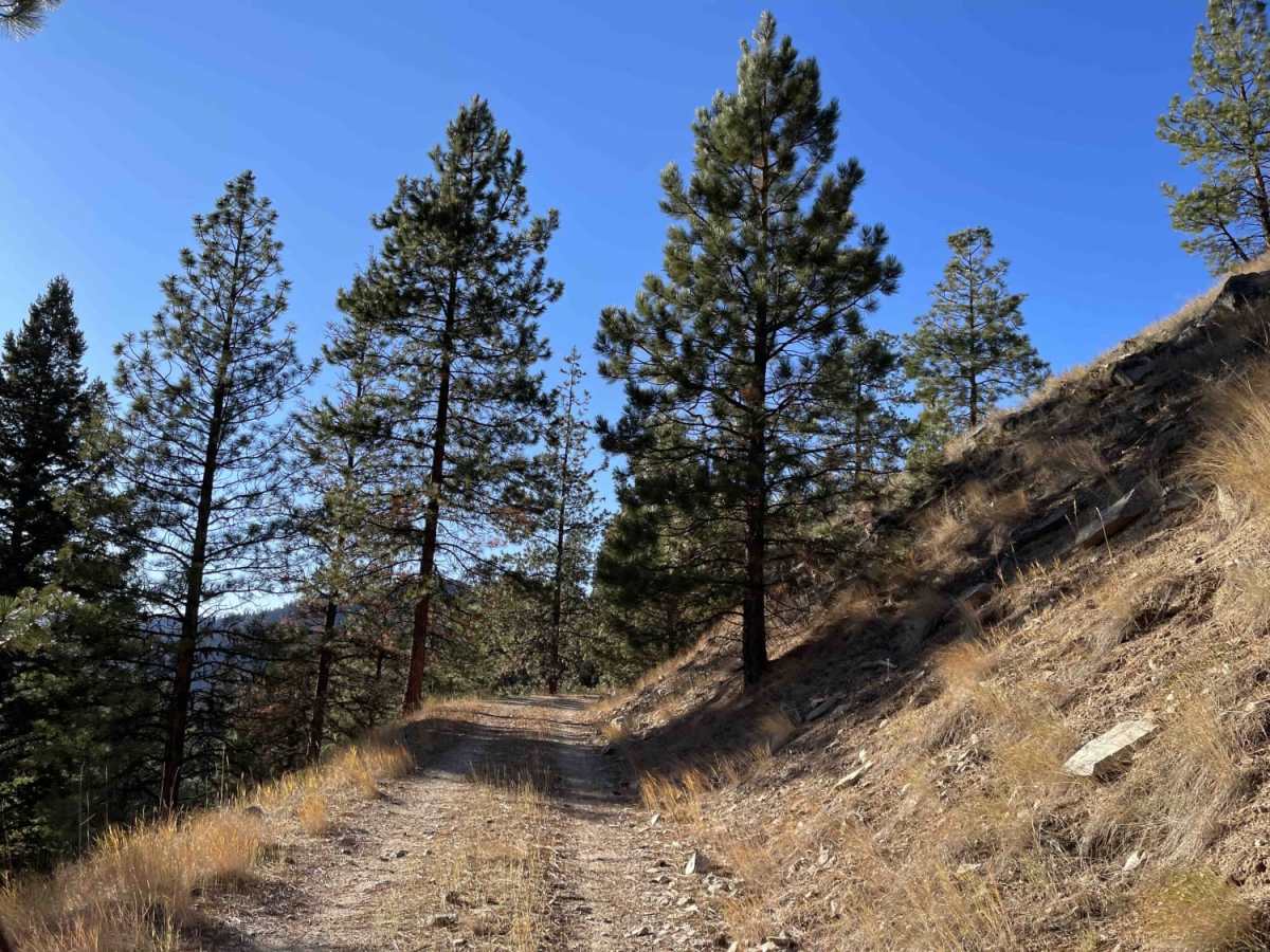
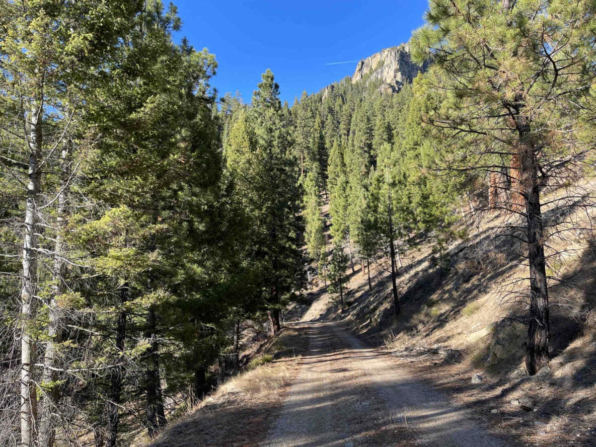
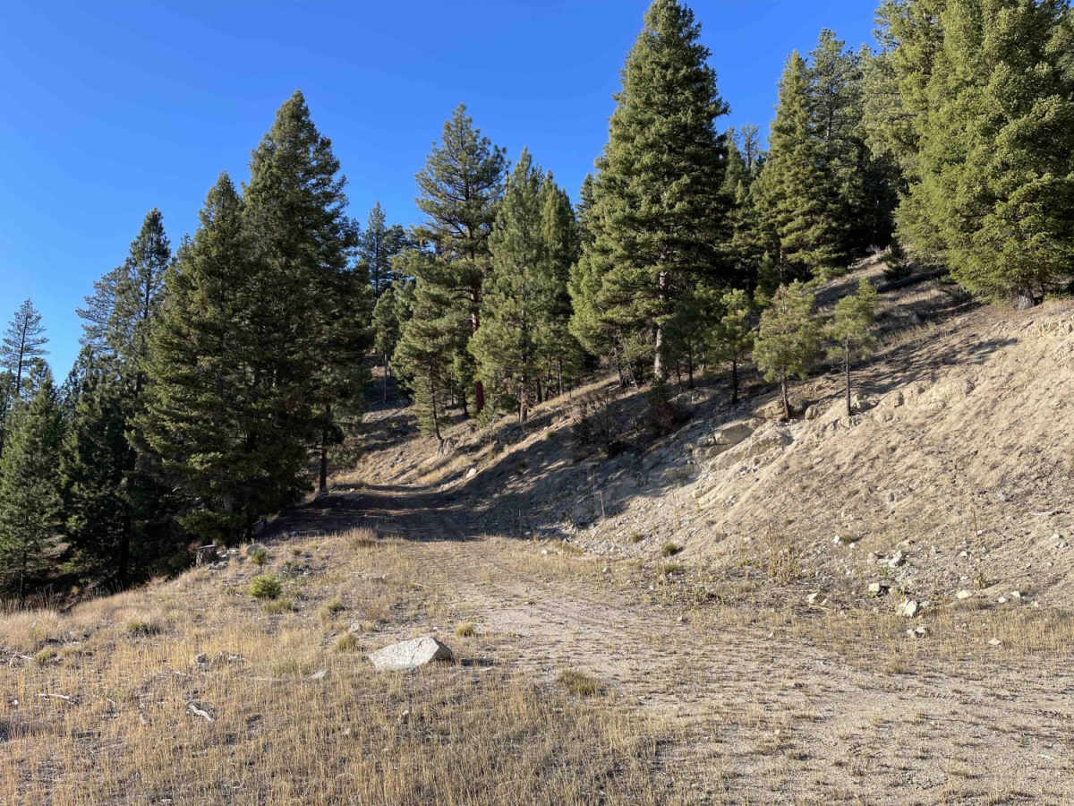
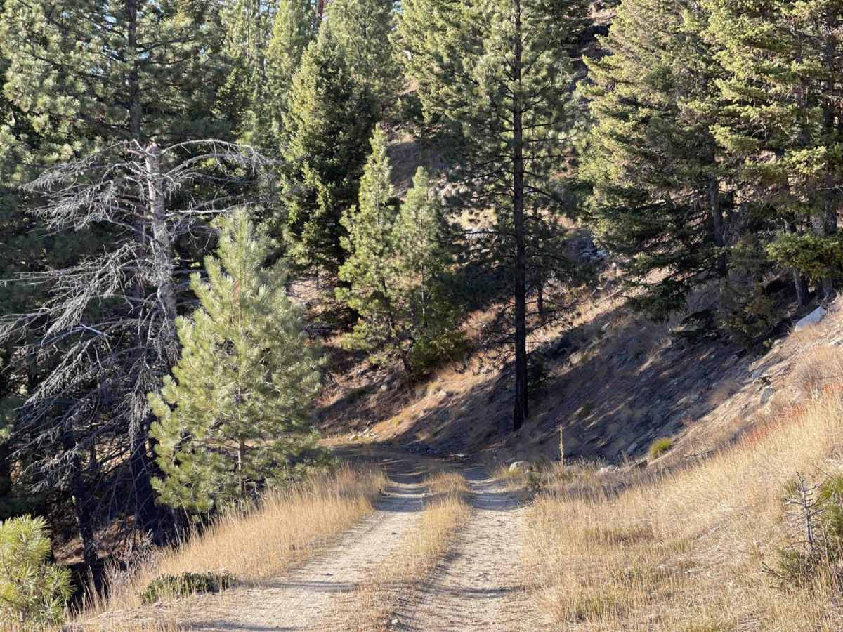
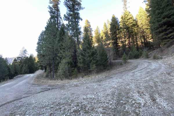
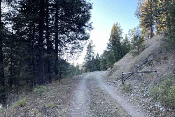
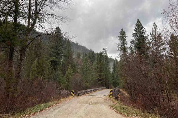
Little Boulder Side Trail is a short, scenic 1.7-mile route designed for four-wheel-drive vehicles, SxSs, and dirt bikes seeking a quick climb to a scenic overlook in the Bitterroot National Forest. Starting near the West Fork Dam and Painted Rocks Reservoir at the Little Boulder Creek Trailhead, the trail ascends approximately 458 feet from an elevation of 5,072 feet to a high point of 5,531 feet. The unpaved surface consists mainly of dirt and loose gravel, winding through a dense forest that obscures views until reaching the end of the route. Because of its narrow width, travelers must remain cautious of potential rockslides, large boulders, or downed trees blocking the path, especially after heavy storms.
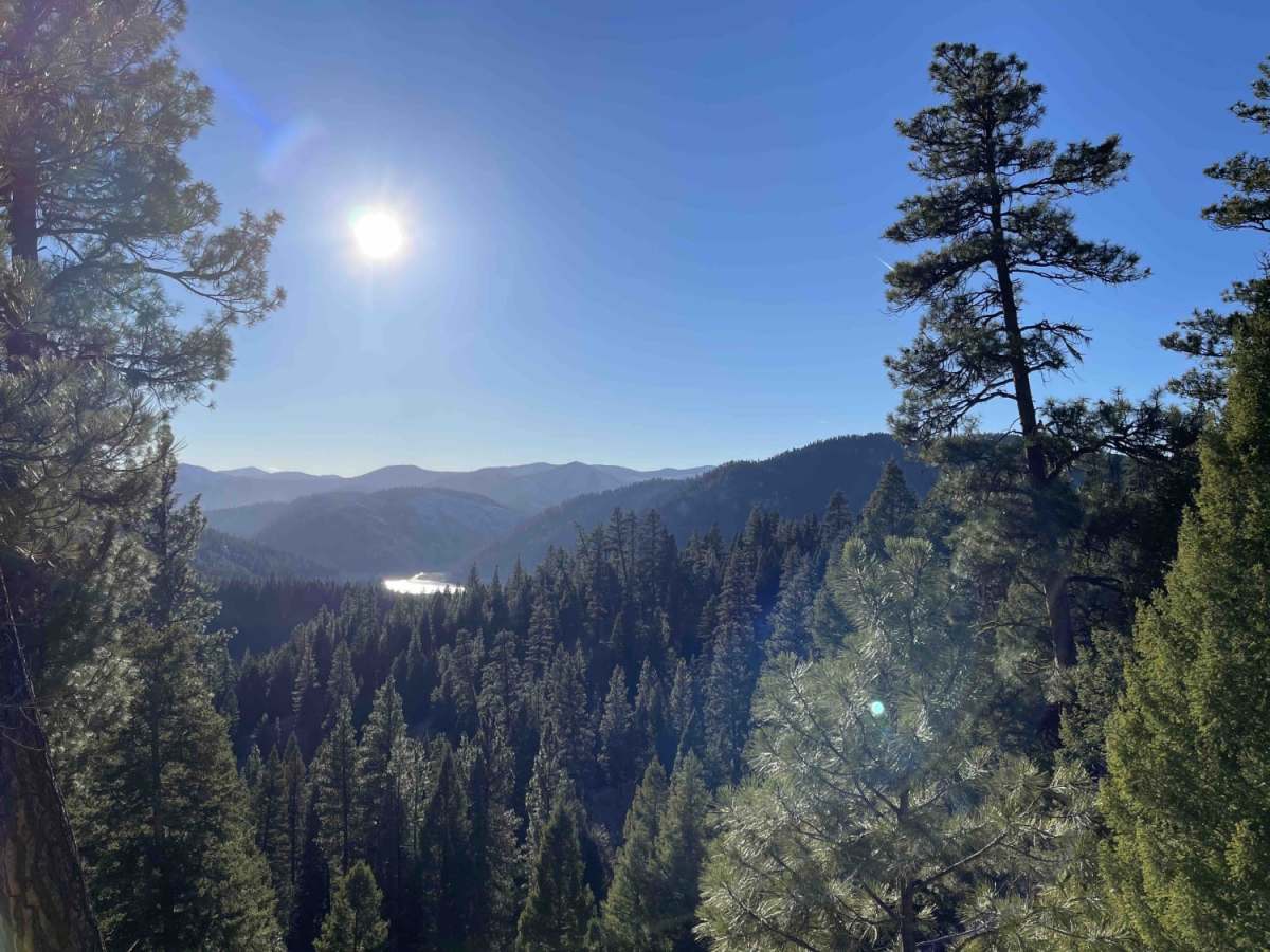
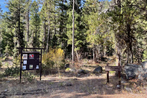
At the terminus of the trail, adventurers will find a spacious dispersed campsite that offers sweeping, unobstructed views of Little Boulder and the surrounding forested mountains. This route lacks winter maintenance, making it inaccessible during high snow months, and cell service is nonexistent throughout the area. To access the trail, drivers should head south on West Fork Road (State Route 473) past Painted Rocks Lake, then turn onto Little Boulder-Slate Creek Road (Forest Road 1130) before finding the trailhead for Forest Road 13458. High-clearance four-wheel-drive vehicles and SxSs are recommended to safely navigate any unexpected obstacles along this tight, tree-lined track.