Trail Overview
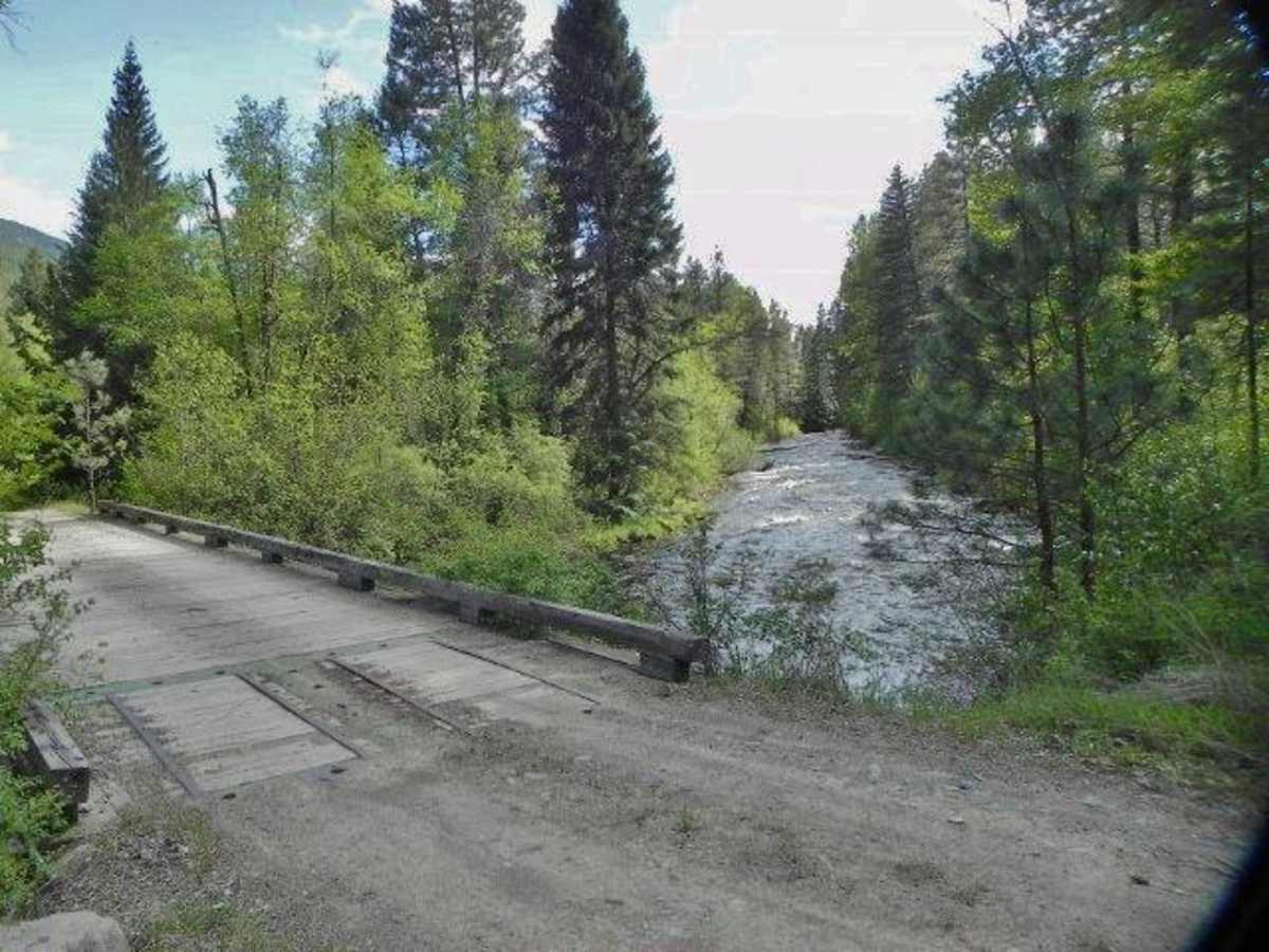
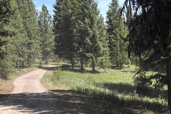
Jocko Road is an easy, scenic dirt and gravel route perfect for beginners, overland rigs, SxSs, and standard SUVs looking for a direct but scenic passage connecting the Jocko Valley with the Seeley Lake area. Traversing both the Flathead Indian Reservation and Lolo National Forest, this route parallels the rushing Jocko River through a deep, forested canyon before climbing gently past the Jocko Lakes. The road is well-maintained and typically passenger-car friendly during the dry summer months, though high-clearance vehicles are recommended to comfortably handle occasional washboards, potholes, and changing weather conditions.
While the driving is technically straightforward with minor obstacles, the route offers outstanding recreation opportunities, passing close to Placid Lake State Park and ending near the recreation hub of Seeley Lake. Because a significant portion of this corridor crosses tribal land managed by the Confederated Salish and Kootenai Tribes, travelers must remain on the designated roadway unless they hold a valid tribal conservation permit. Seasonally, winter snowpacks close the higher elevations of this mountain pass to wheeled vehicles, transitioning it into a popular winter recreation corridor, so visitors should plan their overland trips from late spring through autumn.
Access Description
A significant portion of Jocko Road passes through the Flathead Indian Reservation, managed by the Confederated Salish and Kootenai Tribes (CSKT). Non-tribal members must purchase a CSKT Conservation Permit to recreate, camp, or hike off the designated right-of-way. The road is subject to seasonal winter closures due to heavy snow accumulation.

 Offroad