Trail Overview
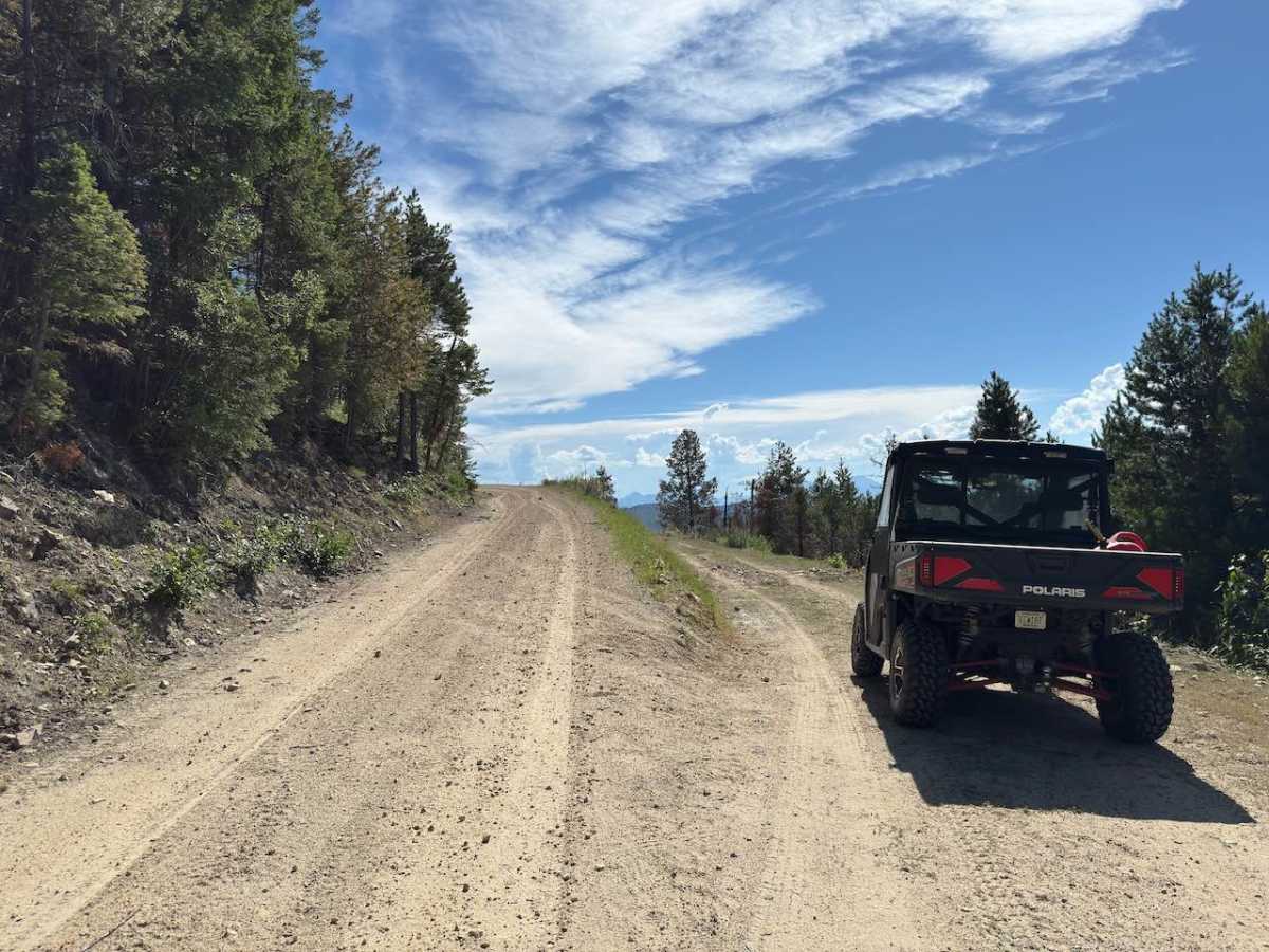
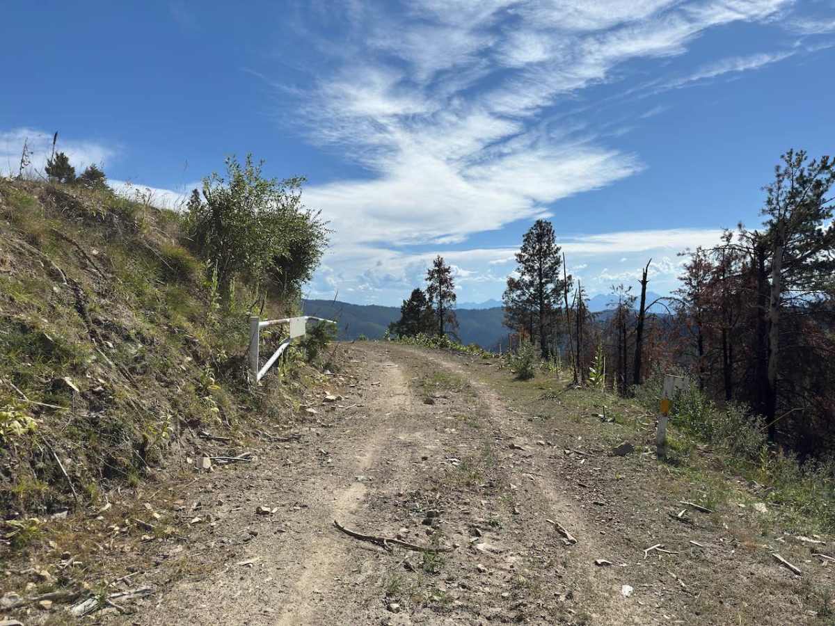
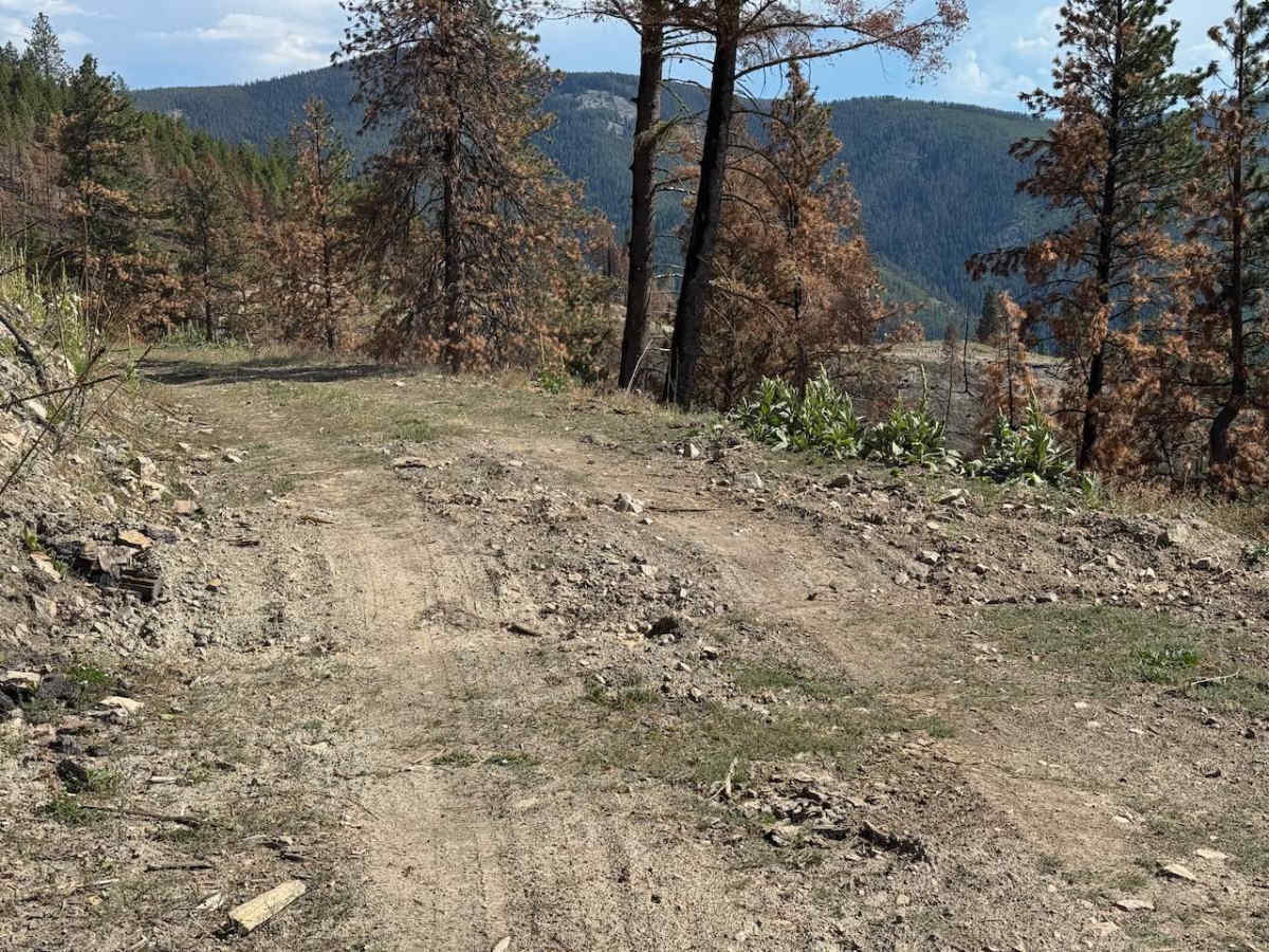
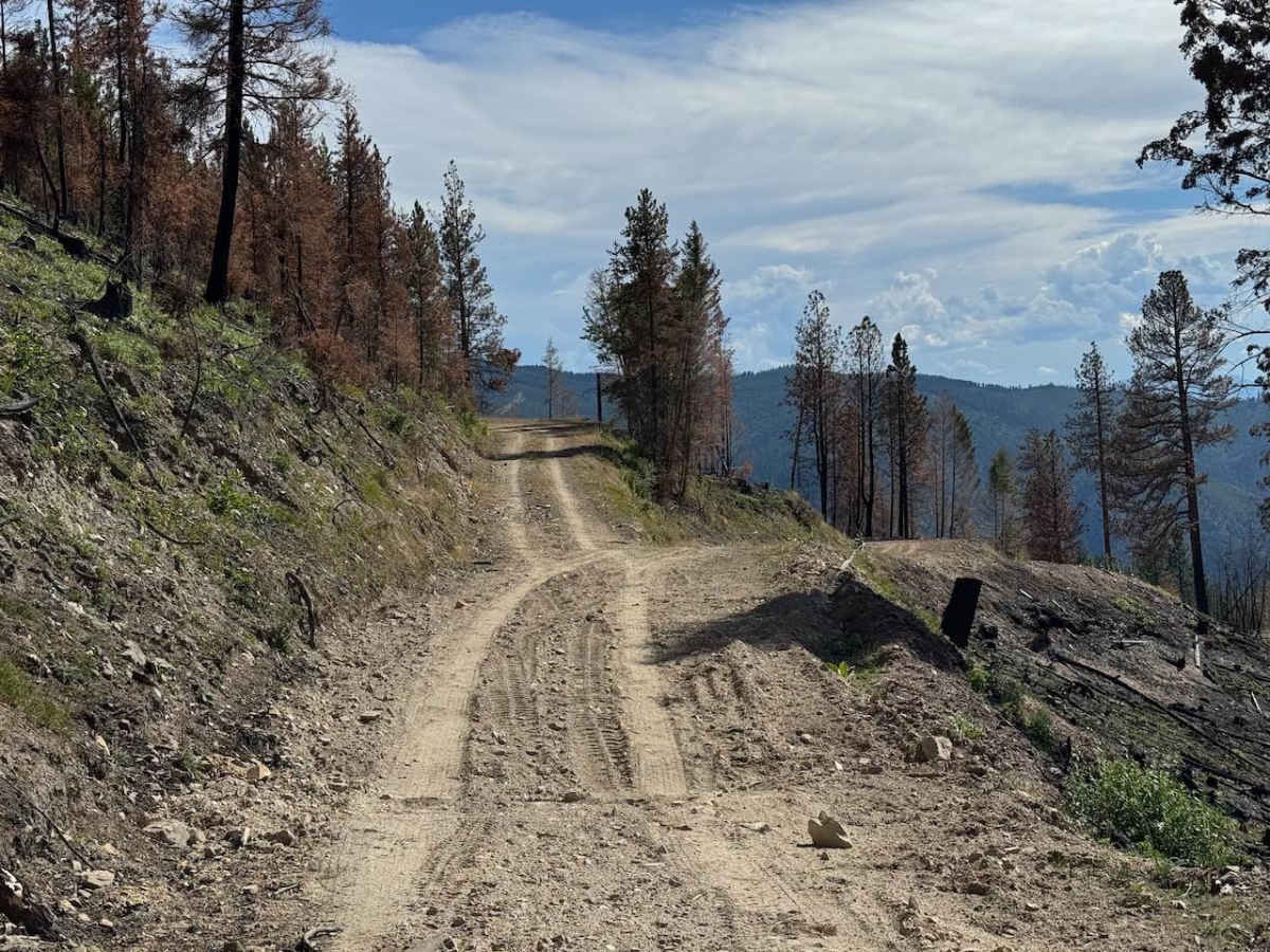
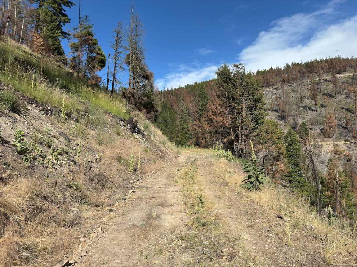
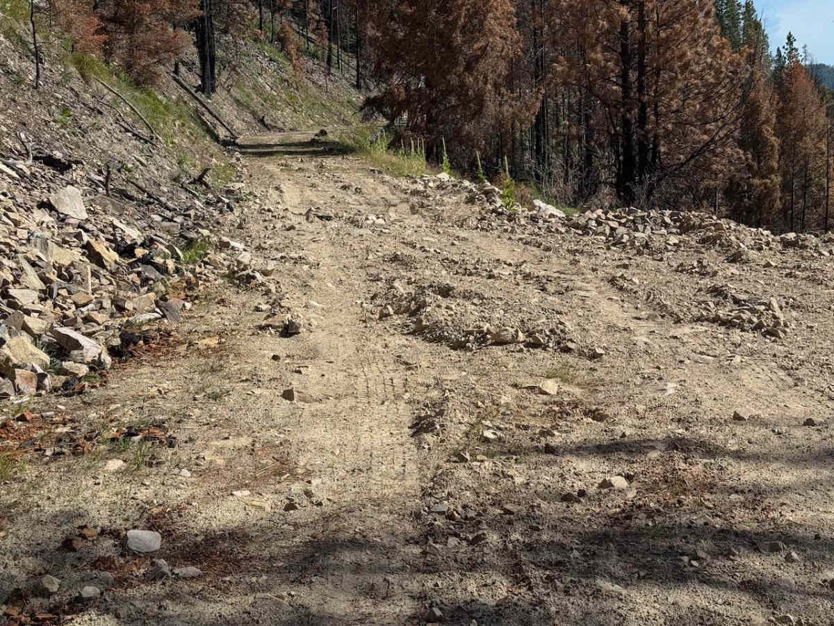
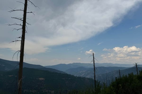
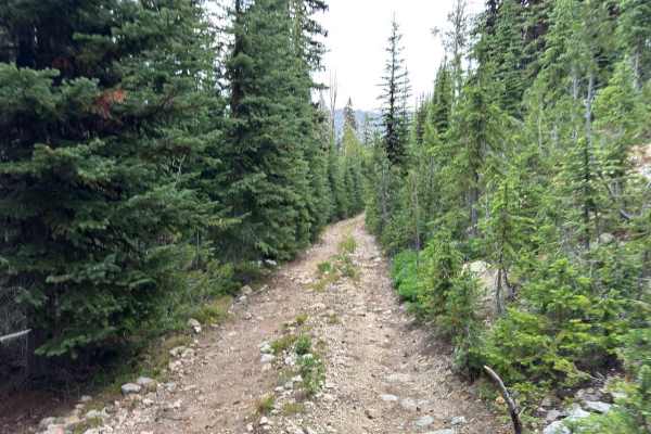
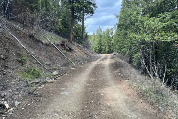
Fullerton - Daly is a trail that splits off from the Gird Point Lookout Trail. This trail runs through the burn scar from the Daly fire of 2024. Because of this, many dead, burnt trees are ready to fall onto the trail at any point. Bring a saw along on this trail. The trail is overall not difficult; however, there are a lot of water diversion trenches along the way that will require a vehicle with good ground clearance. These trenches can be as frequent in sections as every 100 yards. The trenches are about 12" deep, have very abrupt edges, and run perpendicular to the trail. Along with these trenches, there are some sections more towards the beginning that are pretty torn up from equipment. Although this trail is open to all highway legal vehicles, this is a more suited trail for an SxS, four-wheeler, or dirt bike. The first half of this trail has some rocky parts, but no rocks are bigger than 6 inches. Otherwise, the surface is mostly smooth dirt. Some sections of the trail are a little bit off camber as well. Near the beginning of the trail is a fork; you will want to take the leftmost fork. Near the halfway point of this trail, the trail narrows because of overgrown bushes, where even a four-wheeler will do some rubbing. In the second half, there is a muddy section that is about 50 yards long. Along with that, near the end, there are some rocks scattered throughout the trail that are up to 18 inches in diameter. As of now, you can just barely maneuver through them with an SXS without having to go over the rocks. The trail comes to an end where you will find a bunch of thimbleberries and a very small turnaround. There are some good views along the way of the surrounding mountains near Skalkaho HW, Y, and you can see the Gird Point Lookout Tower from the end of the trail, as you will be just below it. This trail is open from June 16 - October,1,4, and a full-width vehicle is allowed but not recommended. Avoid this area if there is a rainstorm nearby, as this is a likely area to experience flash flooding, washouts, and debris slides. Additionally, watch out for free-range cattle in this area, as it is very common to come across them here.
Difficulty
The biggest reason for an intermediate rating on this trail is the water diversion trenches. They are deep, abrupt, and frequent. Otherwise, the trail is fairly easy going. However, er there are rocks up to 18", there is a muddy stretch with some standing water, loose rocks, and it is a narrow trail. This trail maintains a fairly constant elevation, so there aren't many climbs or descents.