Trail Overview
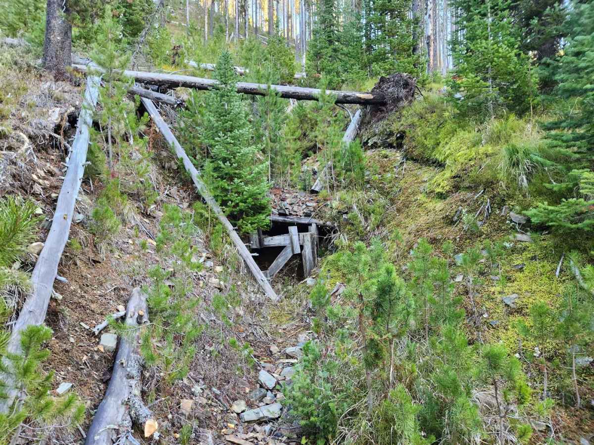
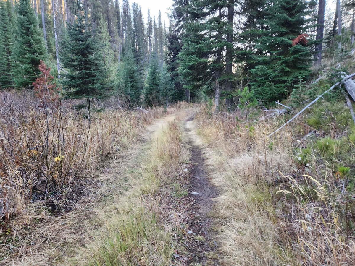
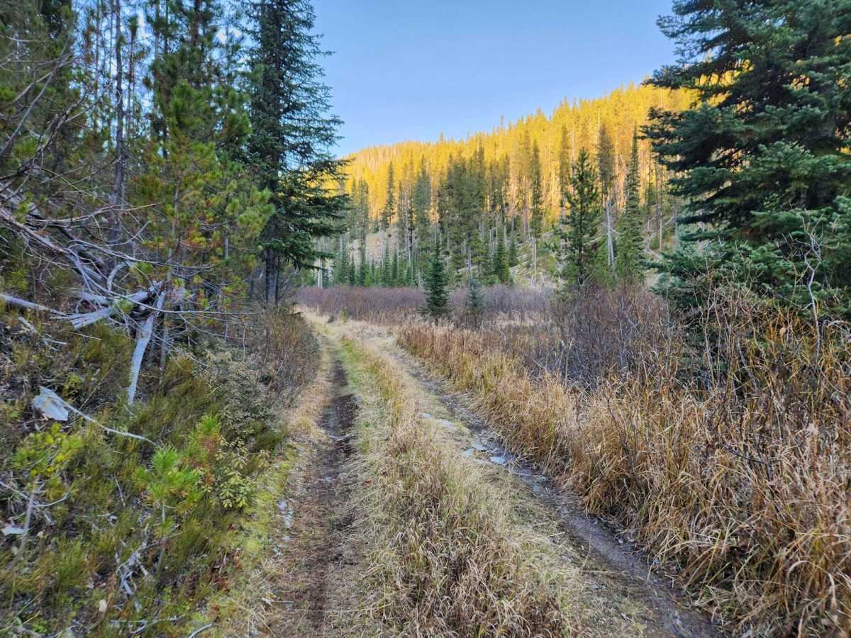
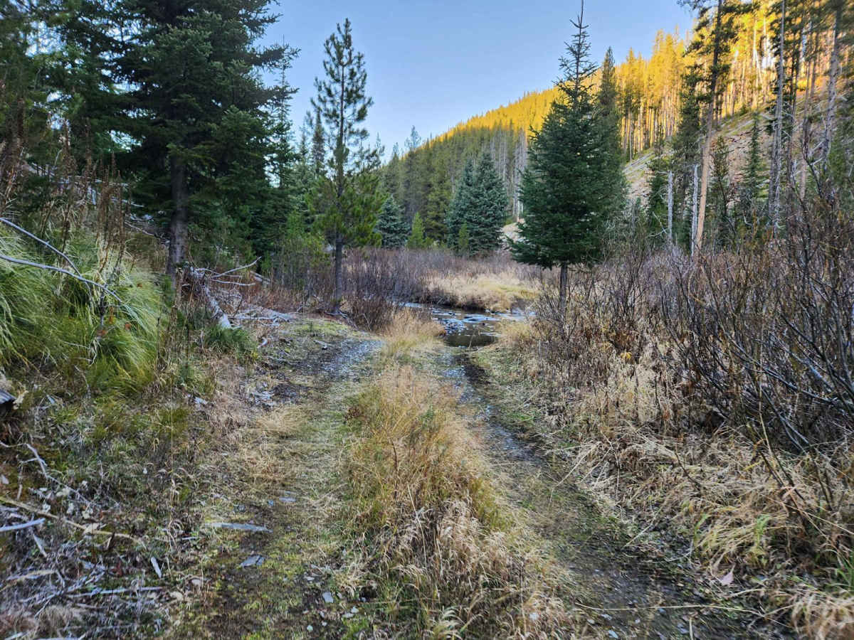
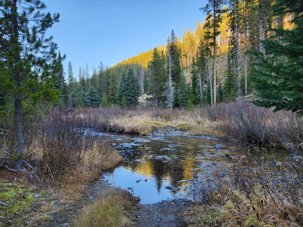
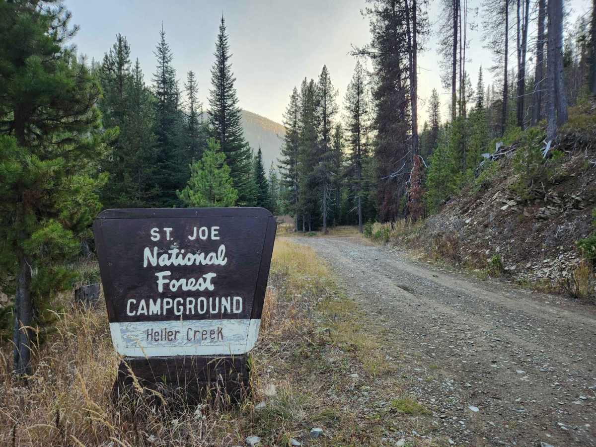
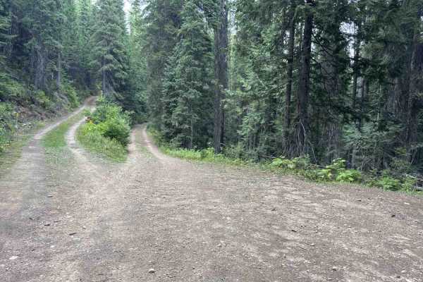
Frank Heller Mine Trail USFS #320A is a lightly used dirt track that leads from near the Heller Creek Campground to one of Frank Heller's mine openings. There is also a route from the campground termination loop which converges with this route to the mine. The trail crosses Heller Creek and has some overgrowth making it difficult for larger vehicles. There are some off-camber sections and the route is prone to flooding and erosion. The area is quite remote, with some hunting and fishing activity, and routes from Avery and Superior to reach the track may have fallen trees blocking the way. There is no cell phone service in the area. There are deer, elk, bear, and grouse in the area, and the area is prone to having small forest fires seasonally. The mine opening can be found just north of the termination of the route at 47.07433, -115.21363 coordinates. The mine has collapsed on itself and will likely not ever be accessible. Be sure to visit the grave of Frank Heller below the red marker sign in the campground and pay your respects. There are four camp spots and a vault toilet, though it may be locked. There is no fee for use of the campground. The campground has no garbage service or facilities, water access is from the creek, and each campsite has a fire ring and grate. For current conditions call the St. Joe Ranger District at 208-245-253.