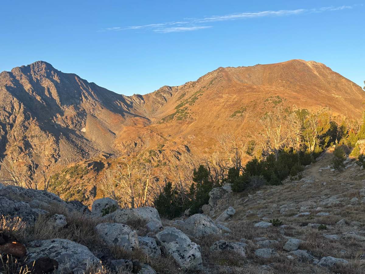
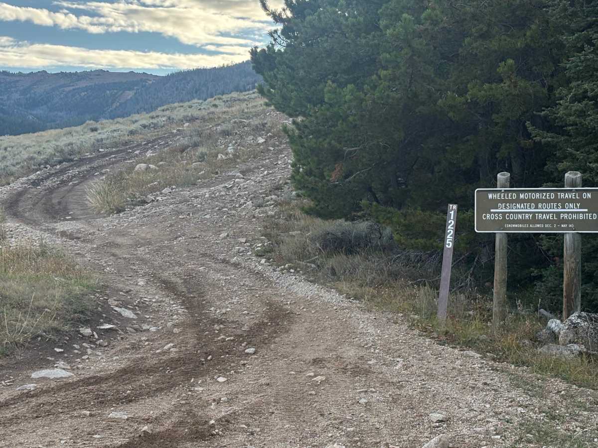
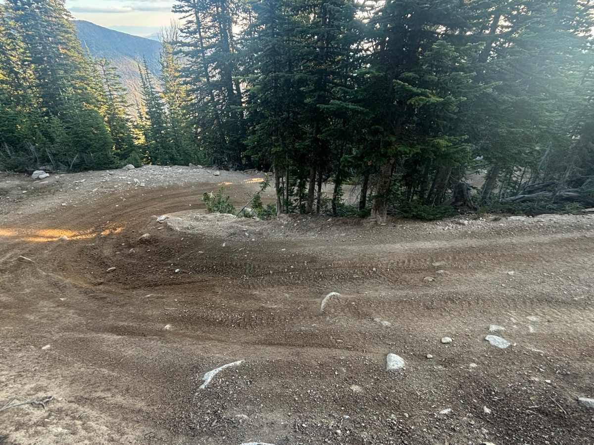
Trail Overview
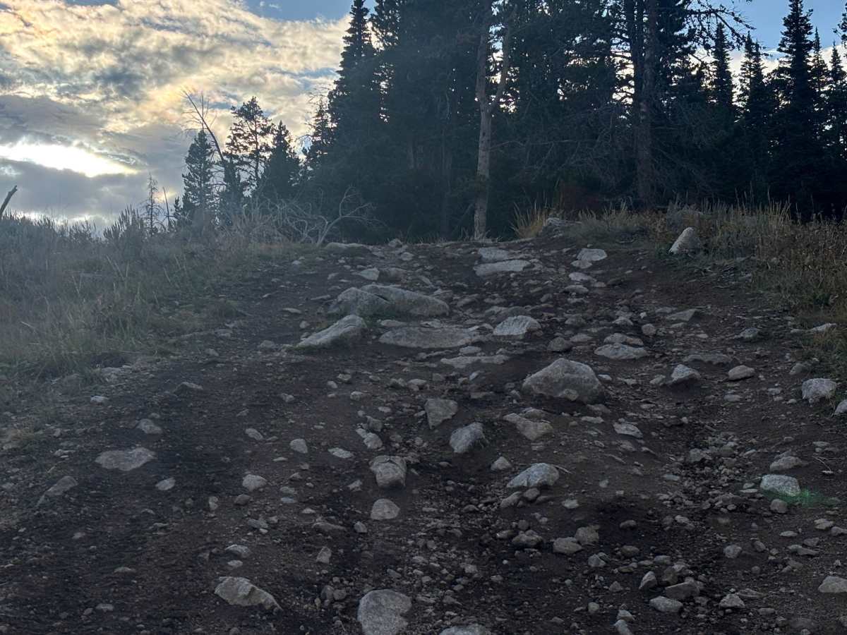
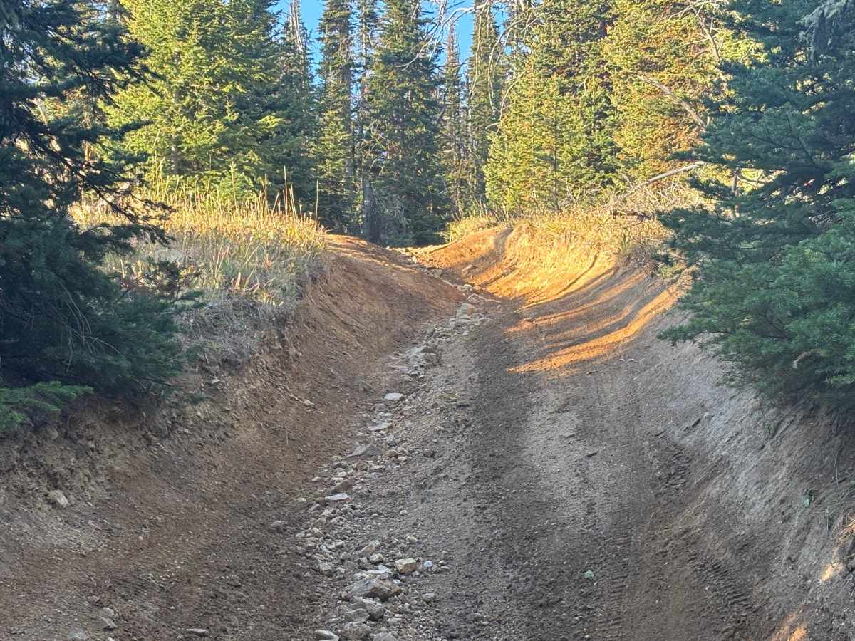
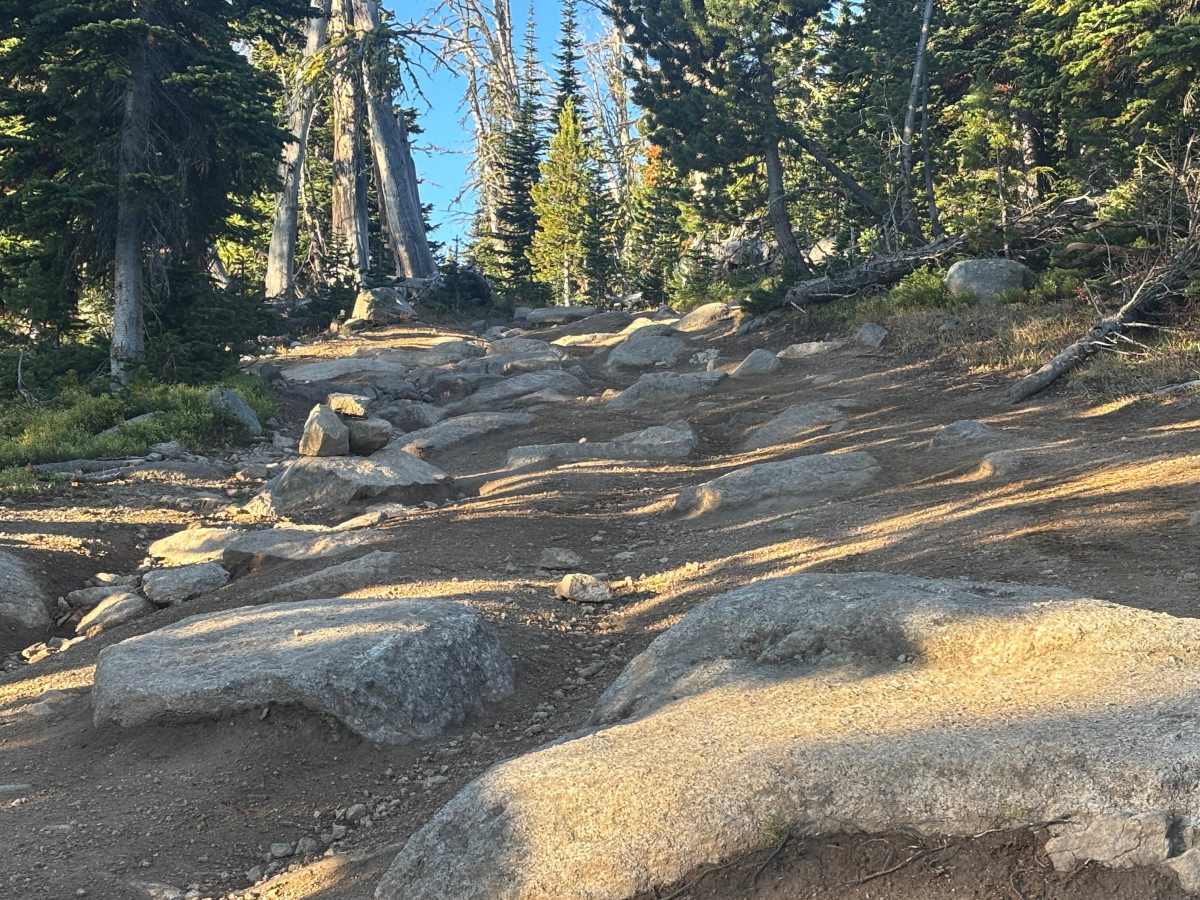
This rocky road branches off the main Sureshot Lakes Road and climbs toward Mount Bradley. Expect steep off-camber rutted sections, boulder fields, tight hairpin switchbacks, and exposed straightaways. Several technical cruxes add challenge, especially near the top, where rock sliders are recommended for wider vehicles. A hiking trail crosses in and out of the road, eventually leading to Mount Bradley. There are a few spurs with viewpoints and dispersed camping opportunities. Passing options are limited until the trail breaks above the tree line. From the alpine zone, stunning panoramic views of the Tobacco Root mountains open up. The surface is primarily embedded boulders and loose rock & dirt. Late summer and early fall are the most reliable times for access. There’s some cell service along the route.
Difficulty
Several steep off-camber sections can become impassable when wet. The primary challenge comes from narrow rock gardens with uneven surfaces, where body damage is possible for wide vehicles. In many areas, vehicles will tip onto two or three wheels, requiring careful line choice. Most boulders are less than 12 inches in height, but precise tire placement is important. Experienced drivers are recommended, and having a spotter is helpful in technical sections.