Trail Overview
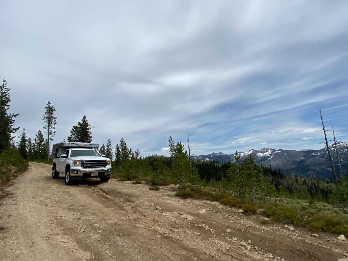
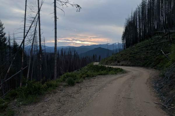
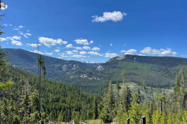
Beaver Ridge Lookout is an ideal adventure for scenic-loving offroaders seeking a rewarding climb with panoramic views of the Selway-Bitterroot Wilderness and Ranger Peak. Spanning approximately 16.4 miles, this trail starts off Highway 12 and climbs over 4,000 feet of elevation to a maximum of 7,372 feet. The route begins as a narrow, single-lane Forest Service road with occasional pullouts, requiring drivers to stay alert for oncoming traffic. As you climb higher, the trail temporarily widens before reaching the junction with Beaver Meadows Road, where the terrain transitions into a more technical, rocky surface.
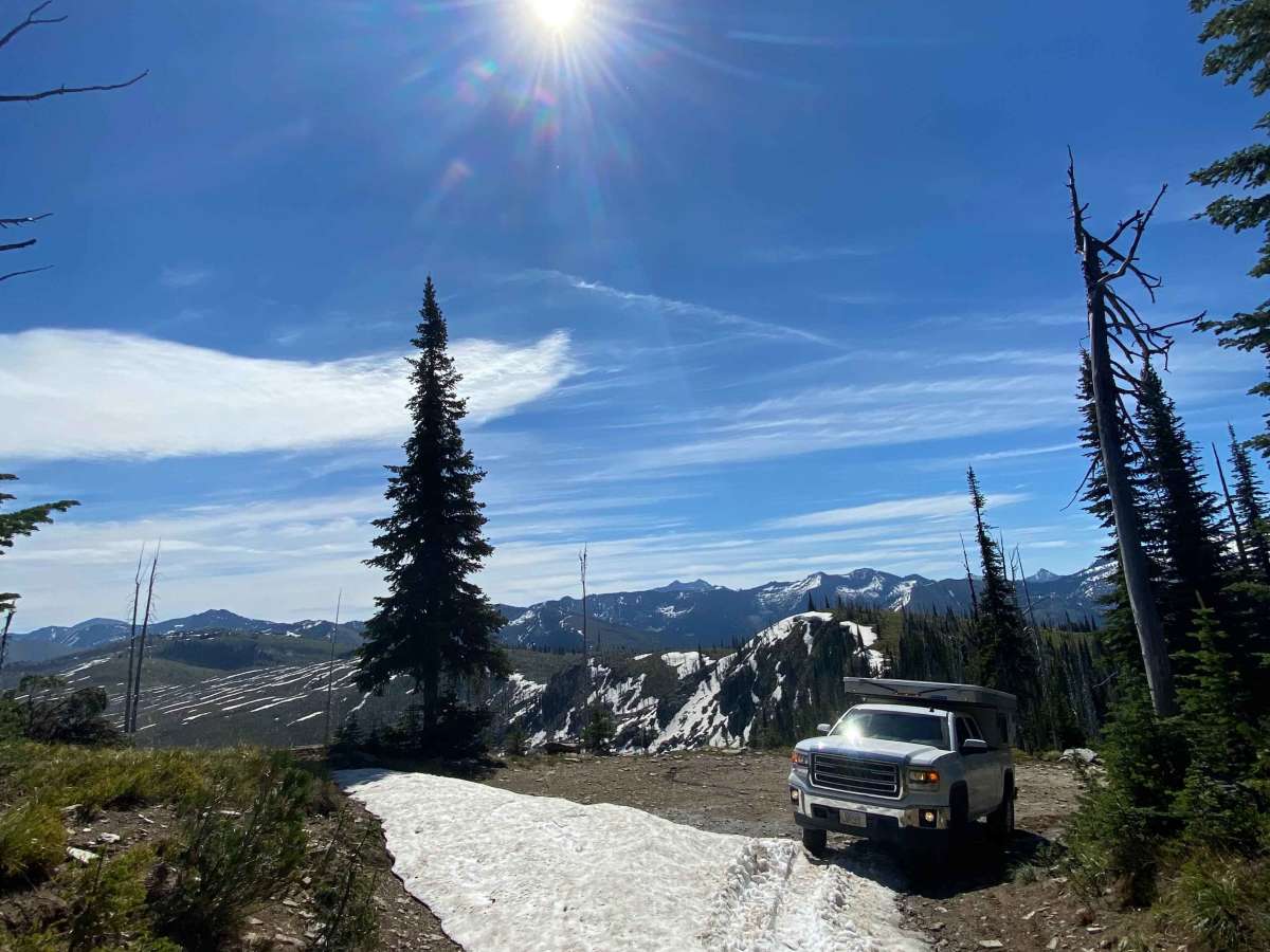
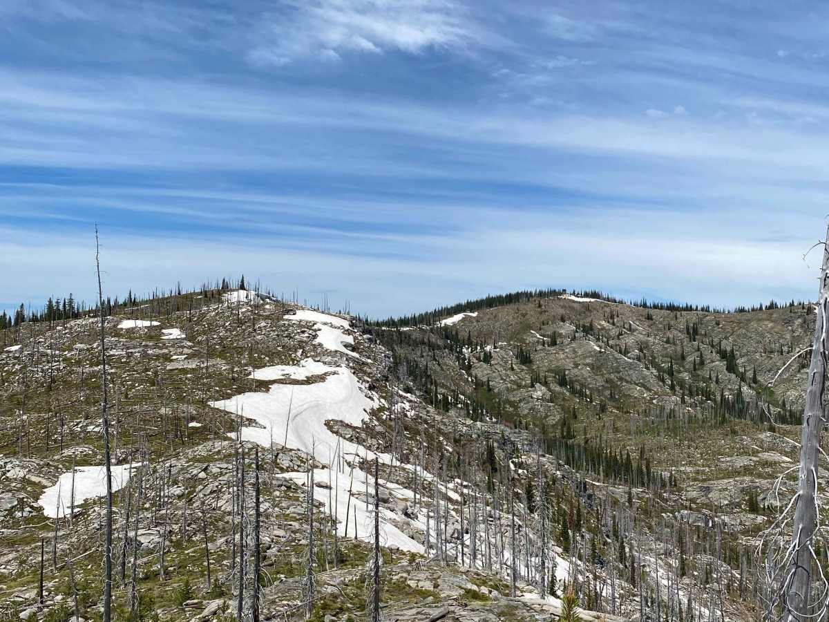
Rated as a technical difficulty of 3, this route features established Forest Service roads with some uneven, rocky segments that are best suited for high-clearance four-wheel-drive vehicles, SxSs, or OHVs. Keep an eye out for loose rocks and minor obstacles as the road gains elevation, eventually topping out at the historic Beaver Ridge Lookout site. Due to the high elevation and northern Idaho climate, the trail is typically seasonal, best accessed from late spring through early autumn when snow has melted. Be prepared for self-reliance in this remote wilderness corridor, ensuring your vehicle is equipped to handle changing mountain weather and rocky climbs.
Access Description
The trail is located within the Nez Perce-Clearwater National Forests. Access is seasonal and highly dependent on snowpack, typically clearing by late June or July and remaining open through October. No permits or fees are required to drive the route, but vehicles must comply with state OHV registration and equipment requirements.