Trail Overview
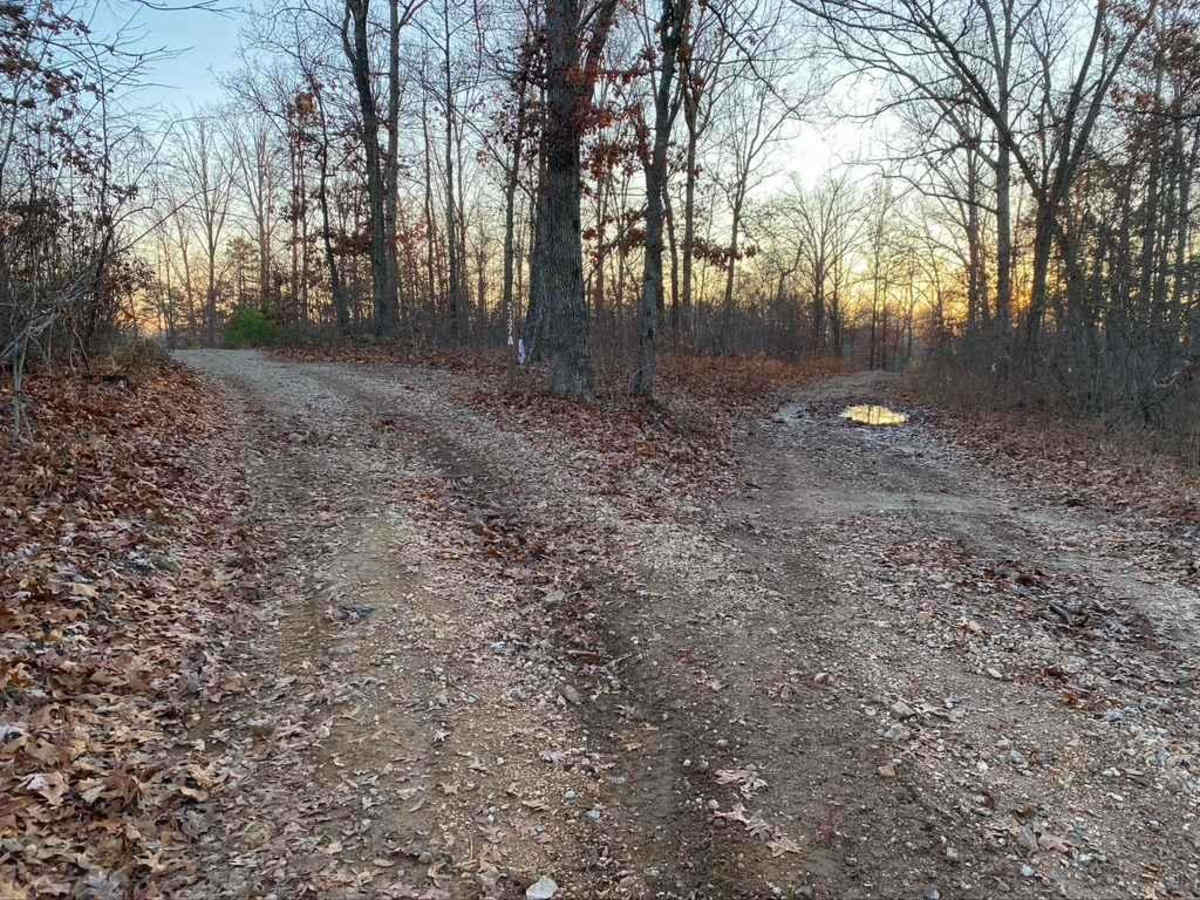
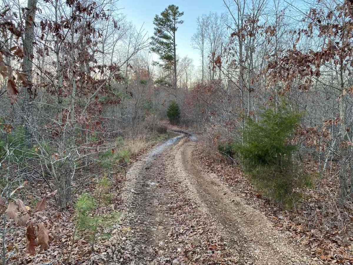
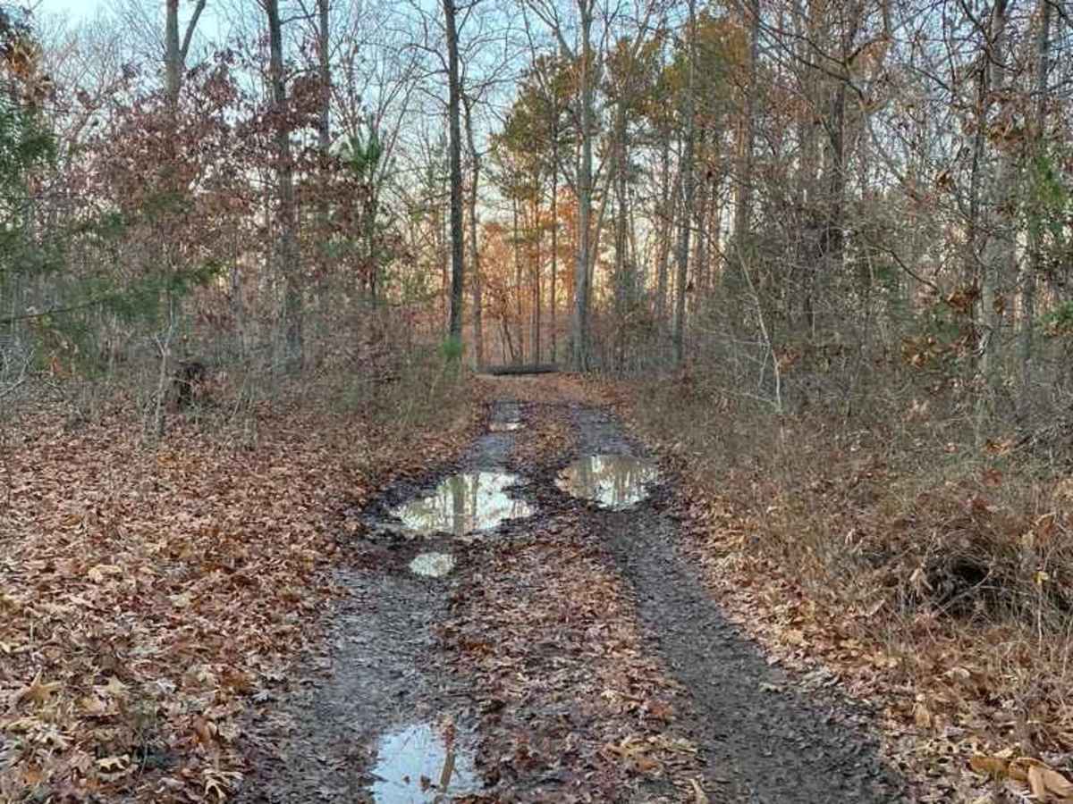
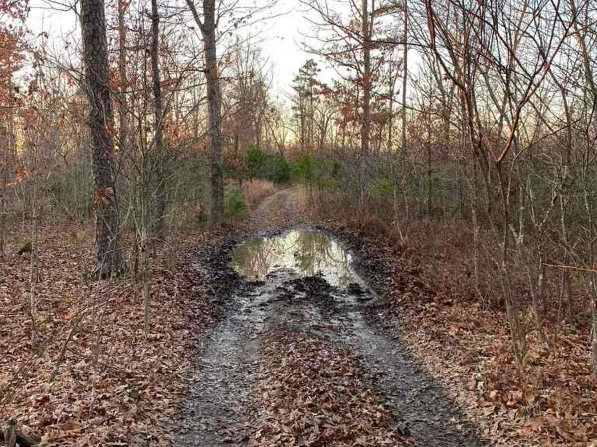
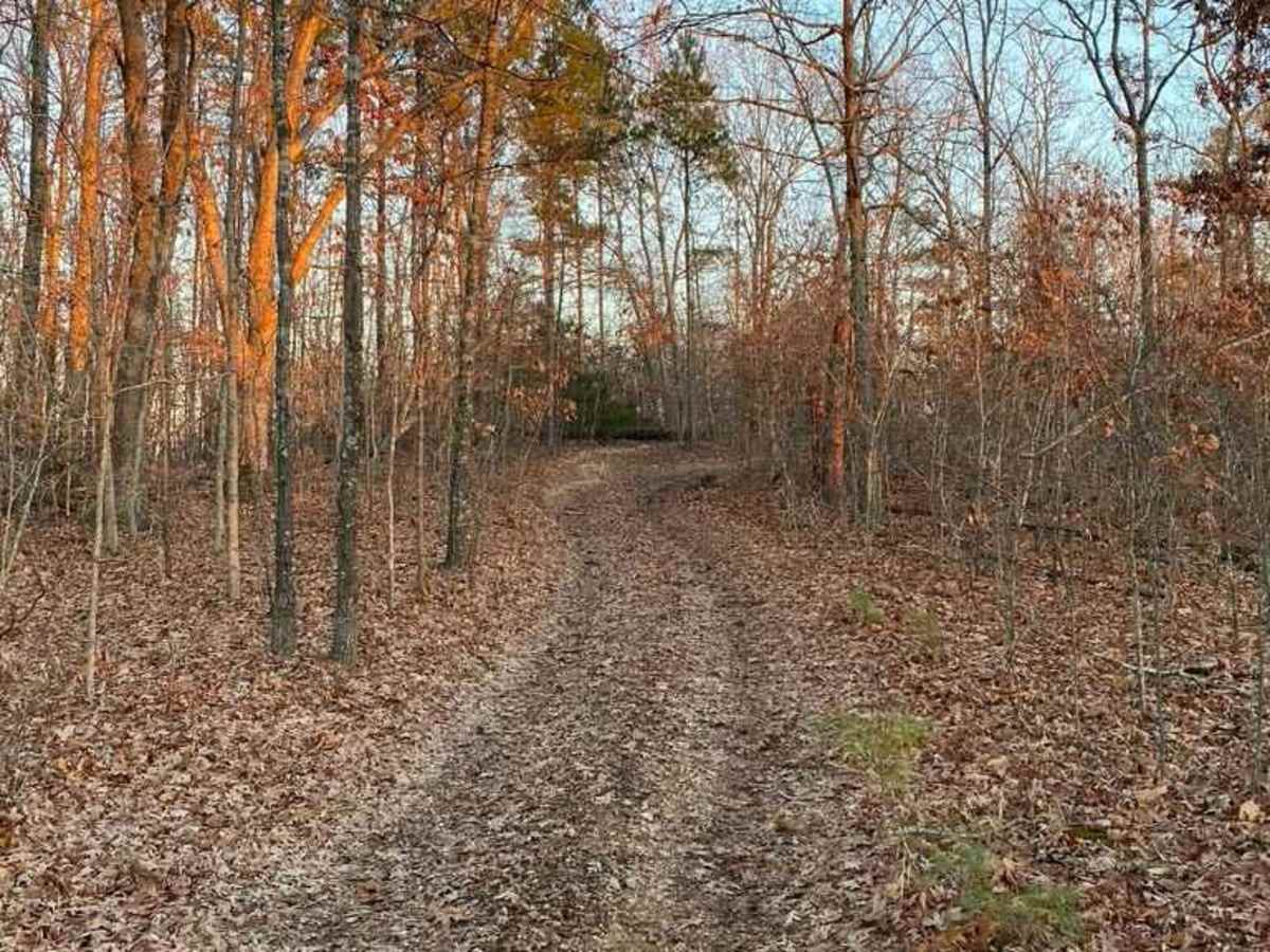
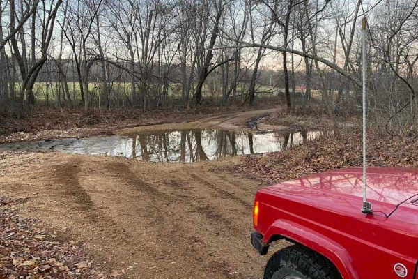
Pine Union Spur A FSR 2137A offers a thrilling and scenic off-road experience in the Mark Twain National Forest, making it an ideal choice for upper-beginner drivers looking to build confidence on a short but engaging trail. This 0.86-mile route climbs along a hilltop with a natural base of mountain top rock and dirt. The trail features several water collection areas, creating up to three mud pits that add a splash of adventure. Drivers will encounter loose coarse rock, exposed tree roots, and small ledge obstacles as the dense forest canopy tightens and widens along the ridge.
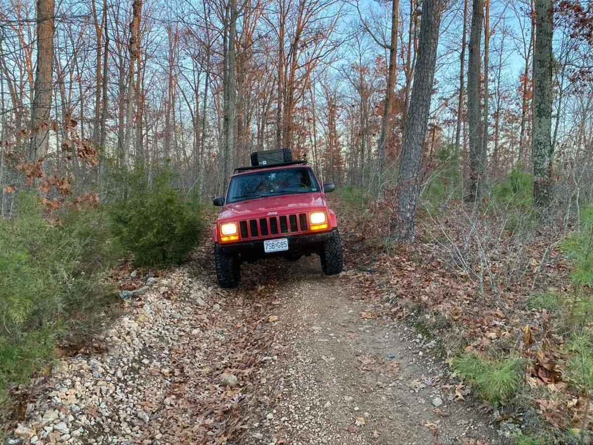
Navigating this forest service road requires a high-clearance four-wheel-drive vehicle or capable SxSs to safely clear the uneven terrain and tight tree clearances. Elevation changes are minimal, with a maximum elevation of 885 feet and just 67 feet of total elevation gain, yet the route provides constant engagement. Due to the thick surrounding timber, downed trees are common across the path, so carrying a chainsaw is highly recommended to clear any fresh blockages. Standard trail etiquette applies, and any cleared wood or trimmings must be moved safely off to the side of the road.
Difficulty
The 2137A is a fun upper beginner challenge, has small ledges, loose course rock, at least 3 mud pits, tree roots and tight trees.


 Offroad