Leo Drey Forest 2221

Total Miles15.7
Technical Rating
5Moderate
Best TimeSpring, Summer, Fall
Trail TypeHigh-Clearance 4x4 Trail
Accessible By
Open Trail Map

Trail Overview

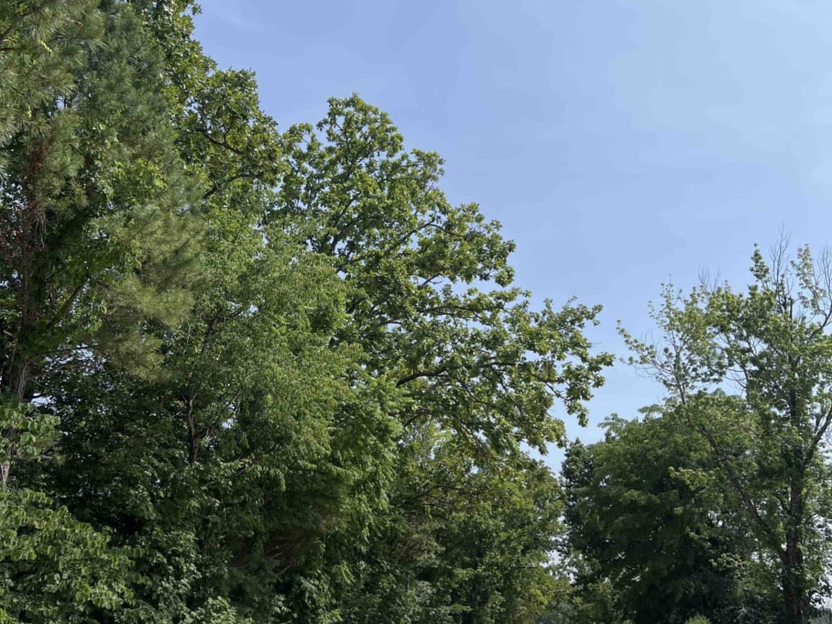
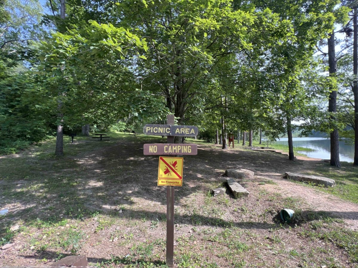
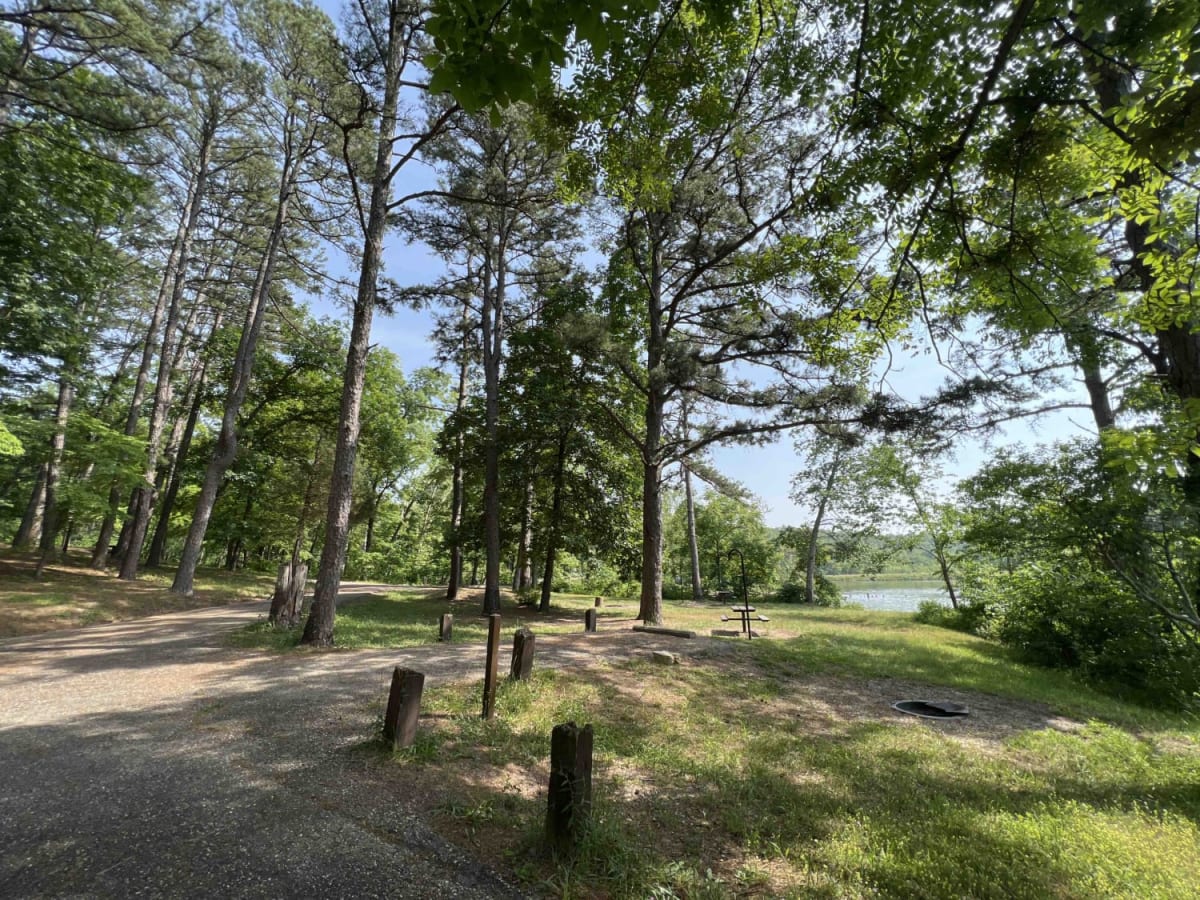
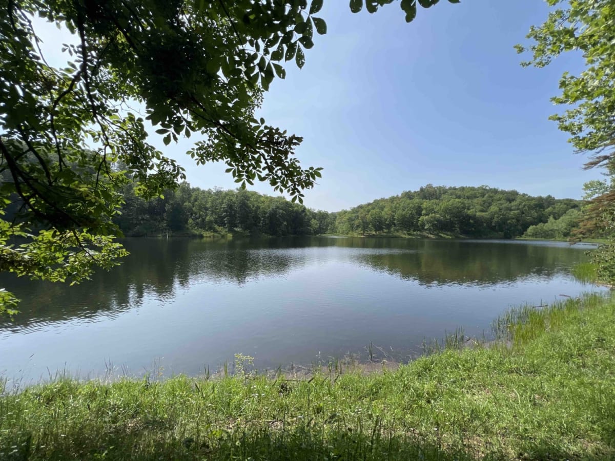
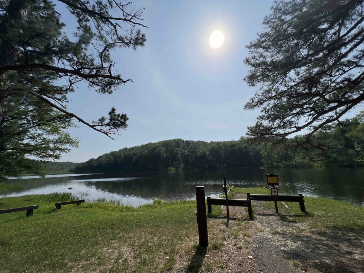
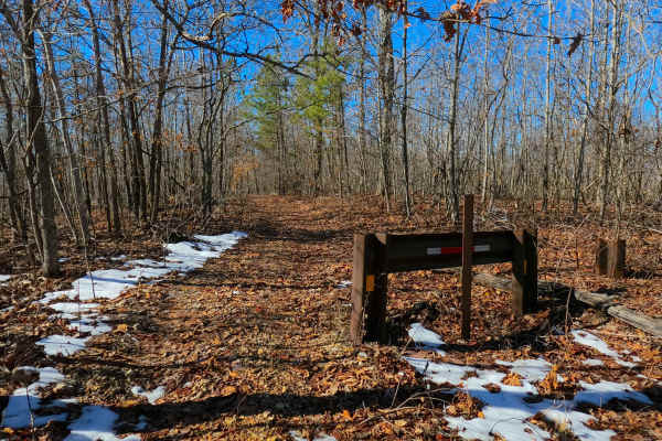
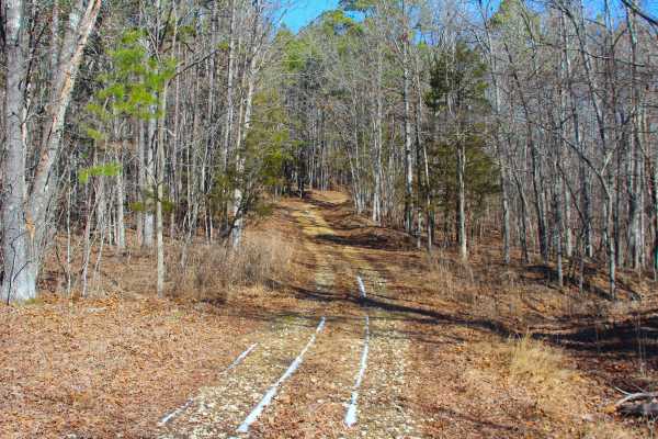
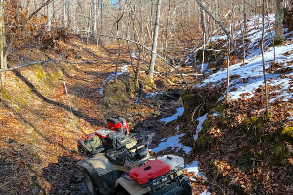
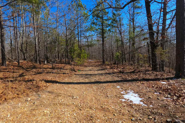
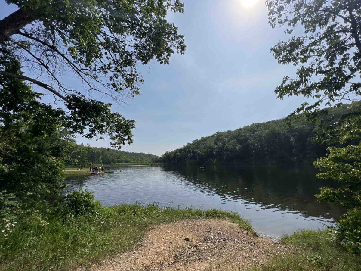
Leo Drey 2221 is a well-maintained gravel road that takes you through the Mark Twain National Forest. As you take County Road 565, it leads you through private property which then leads you to Forest Road 2221. You will first come to the signs for Loggers Lake which is a nice recreation site that has camping, fishing, and boating. The only downside to this lake is the locked restrooms at the day-use site. From there you continue down the road where you will find beautiful scenic views of the forest. At mile 11.5 there is a substantial creek crossing that low clearance vehicles won't be able to cross without serious engine damage. From there the trail ends in the Pioneer Forest which is privately owned but is open for public use through the pre-established trail system called Ozark Trail Blair Creek Section. The Mark Twain National Forest is home to over 650 wildlife species. The Box Turtles are most seen in this area and their favorite spot to sun themselves is in the middle of the road. Please be mindful and be watching out for these little creatures as they just look like a big rock in the road. Missouri is also home to a plethora of bugs so make sure to bring your spray or your defense system. Hardwoods line the forests here along with ferns, mushrooms, Cardinal Flowers, and the Rose Turtlehead.

Photos of Leo Drey Forest 2221

Difficulty

This road is very well maintained until you hit the water crossing at 11.5 miles where a low clearance vehicle wont make it across. The water at a low level is almost 3 feet deep.

History

The Mark Twain National Forest was an untouched land due to ease of access back before the Louisiana Purchase in 1804. This land was then purchased for logging purposes which funded towns and cities until the 1950's when it was turned into a National Park. Since then this area has been protected and managed by the US Forest Service. Here is some more information on the history of this area. https://www.nps.gov/ozar/learn/historyculture/establishment.htm

Technical Rating

5

Status Reports

Add Status Report
Leon Black
Jun 14, 2026
Open
It was a good trail mostly groomed gravel. A few spots a high clearance vehicle is needed. A regular 4x4 pickup would be fine. I would rate this trail a 2 at the most. Loggers lake was nice would be a great place to camp.
Neagley JLURX
Jan 10, 2026
Open
Normal
Water levels at crossings are really low right now. Lower profile off-road vehicles can make it right now.
mark Sillman
Mar 29, 2025
Open
Normal
Very easy trail. Beautiful area. The creek crossing was only about 6 inches but a great place for lunch. Be sure to download your map as you will likely not have reception in this area. If the water is low, you could do this trail in a 2 Wheel Drive vehicle.
Travis Manly
Mar 23, 2025
Open
NormalDustyWashboard
Absolutely no reason to call this trail a Level 5. A lowered Honda civic could do 99.9% of this trail. Only area that would give any difficulty would be the water crossing mentioned. It was only about 8-10 inches deep when I went. If you want to come far to enjoy an off road adventure or challenge your rig, this is NOT it. Maybe a few of the side trails would be fun but didn’t have the time to check. Next trip out here will be mainly exploring the side trails. Loggers lake camp is closed as well. Local guy told me they may open up early summer after the rains fill the lake back up. But lake was drained down pretty far too. Wish I took pics to attach.
brendon OCallaghan
Sep 14, 2024
1999 Mazda B-Series
Open
Didnt even need 4x4 super easy.
Adam Akin
Aug 05, 2024
Open
NormalDusty
Dusty and gravel road. The main Water crossing was about 18”. It’s loose gravel about half way. 4Lo would be recommended.
Tom Wagner
Oct 23, 2023
Open
Dusty

Leo Drey Forest 2221 Trail can be accessed by the following ride types:

  • 60 Inch
  • High Clearance

Leo Drey Forest 2221 Map

The onX Offroad Difference

onX Offroad combines trail photos, descriptions, difficulty ratings, width restrictions, seasonality, and more in a user-friendly interface. Available on all devices, with offline access and full compatibility with CarPlay and Android Auto. Discover what you're missing today!

Open Trail Map