Trail Overview
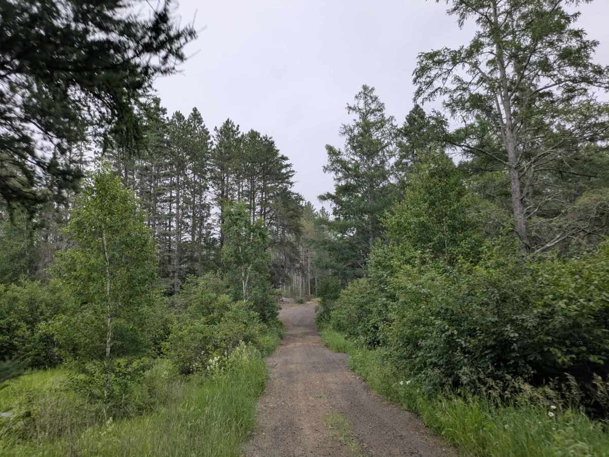
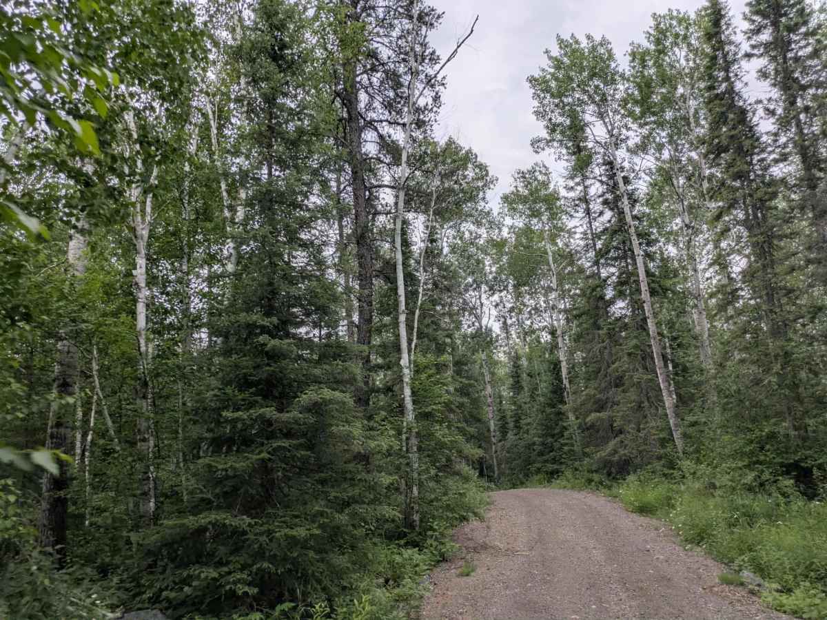
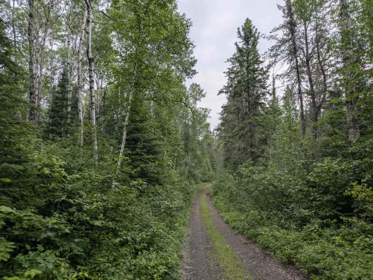
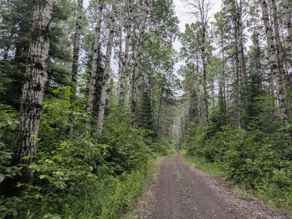
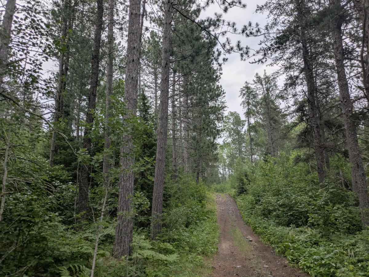
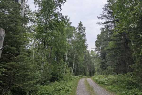
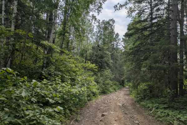
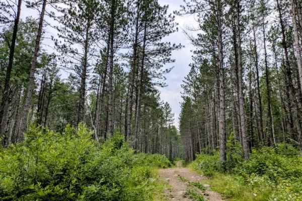
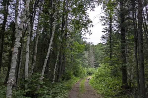
This trail quickly narrows, becoming heavily overgrown with limited visibility ahead. The surface is rocky and uneven, with frequent bumps and very few spots to safely turn around, particularly for larger vehicles. The trail has a couple of spurs or side routes, but continues as a single path through dense and scenic pine forest. Along the way, there are steep ascents and descents, many of which are both muddy and rocky, requiring careful navigation and the use of 4WD low. From the approach on Snake River Road, there are no clear signs indicating that the trail transitions into this ATV-only route. The main Snake River Road trail appears to continue straight, but is completely overgrown and lacks signage; there is no intersection where the two trails meet. Once committed to the ATV section, turning around is not feasible until reaching the end of the trail. A narrow bridge is also encountered along the route, further emphasizing the need for caution. There are no formal or dispersed campsites along this trail, and no amenities such as water, trash facilities, or restrooms. Cell service may be unreliable or unavailable for the duration of the route.
Difficulty
This trail has not been maintained and is rarely used. Expect overgrowth, downed trees, and dense underbrush in areas. Travel is slow with backcountry obstacles.