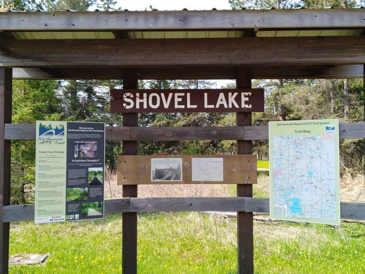
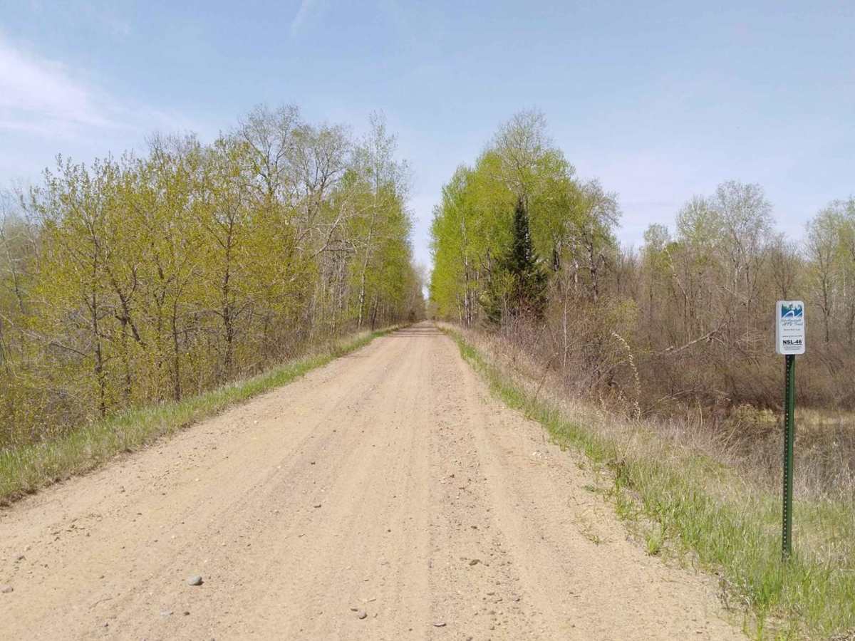
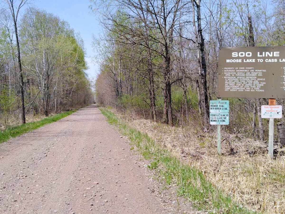
Trail Overview
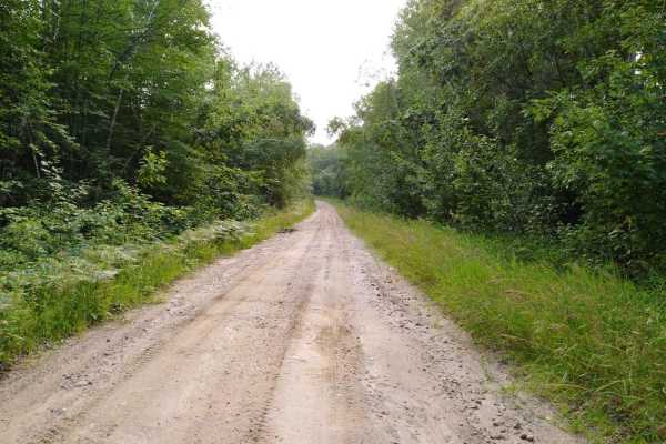
Shovel Lake to Remer on the Soo Line North is a section of converted rail grade that is 10.4 miles long and takes about 40 minutes with an average speed of 15.1 MPH. It's a great trail to run if you are in the area during the spring or a wet time of the year while other trails may be water-logged. Note to OHM riders: Shovel Lake is the last section you can ride this trail towards Cass Lake per MN DNR information. See here: https://www.dnr.state.mn.us/ohv/map.html.
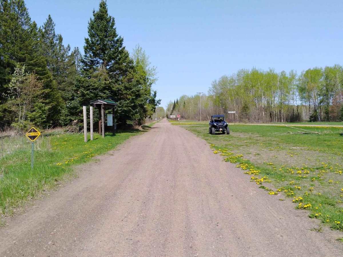
Difficulty
The section is easy and flat converted rail grade. There's no need for 4x4 or even to lock the rear differential. After several days of rain in the area, this section of trail remains solid and doesn't have any large areas of deep water to cross. The surface is packed gravel without large rocks. Some of the areas have larger stones in the gravel but do not pose an issue. Do pay attention to the edge of the trail, as it can have steep banks since it is converted rail grade. Bridge crossings are well marked and are the only areas you need to use extra care and slow down.
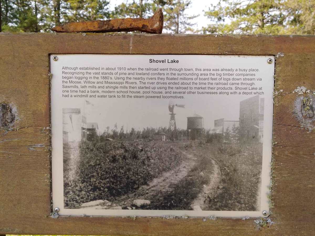
History
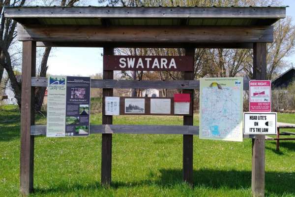
Signs at the Shovel Lake trailside parking state that the railroad came through about 1910. The area then was already busy with lumber companies logging in the 1880s and floating those logs down area rivers. Shovel Lake once had a bank, modern school, and a pool house along with several other business. The local depot at that time had a windmill to fill a water tower used to fill the steam-powered trains of that era.