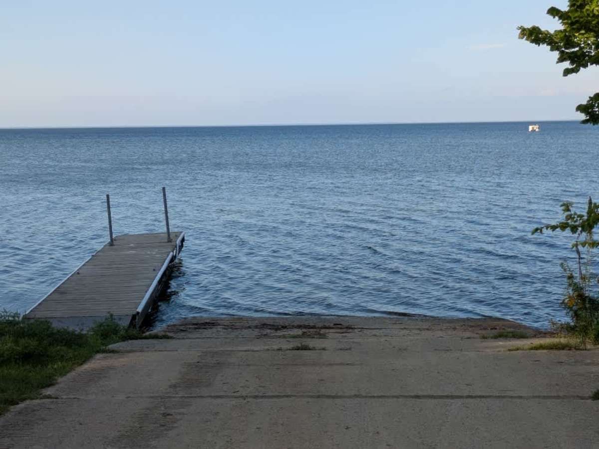
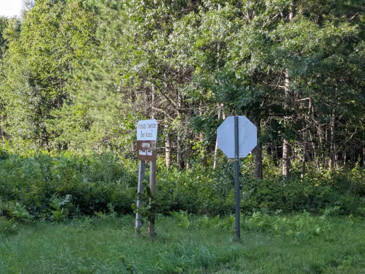
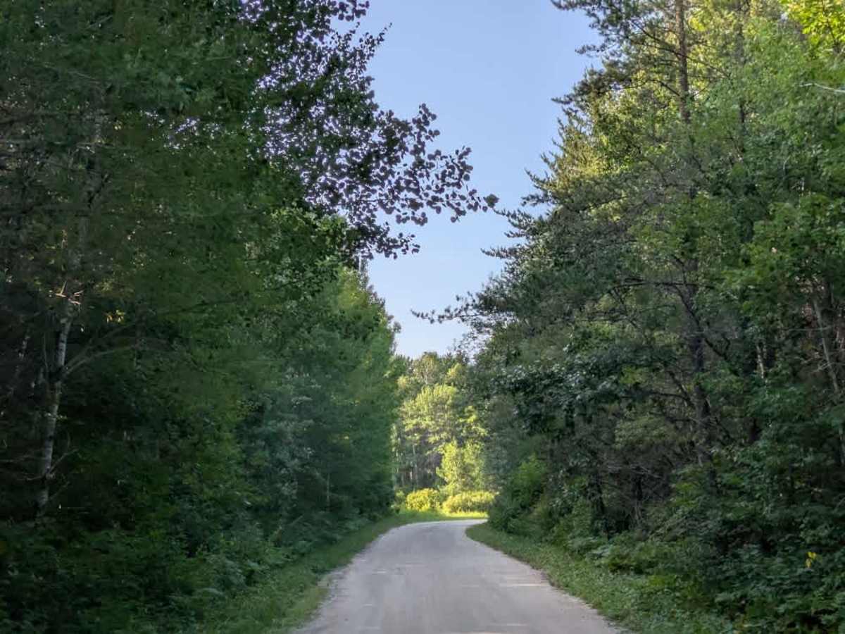
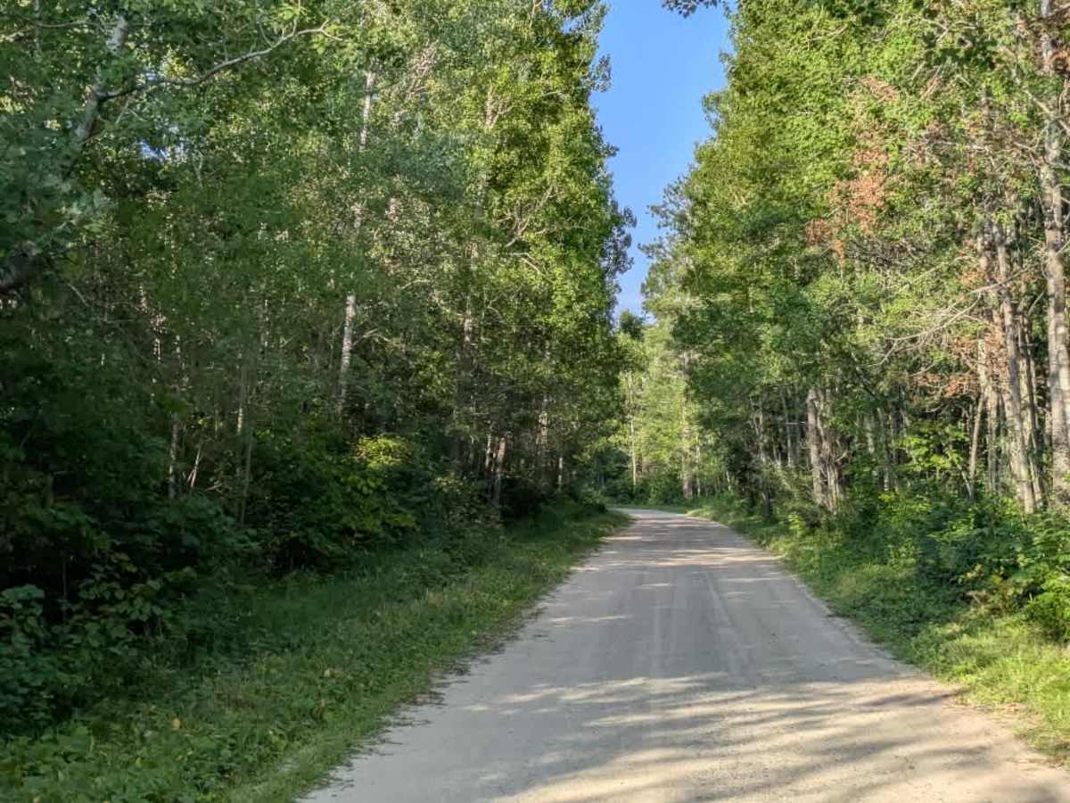
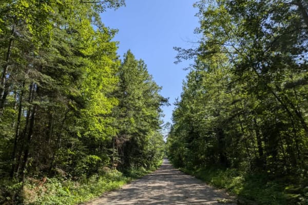
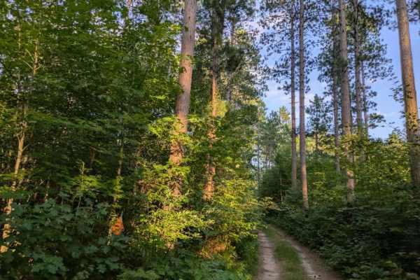
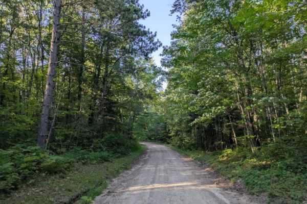
Trail Overview
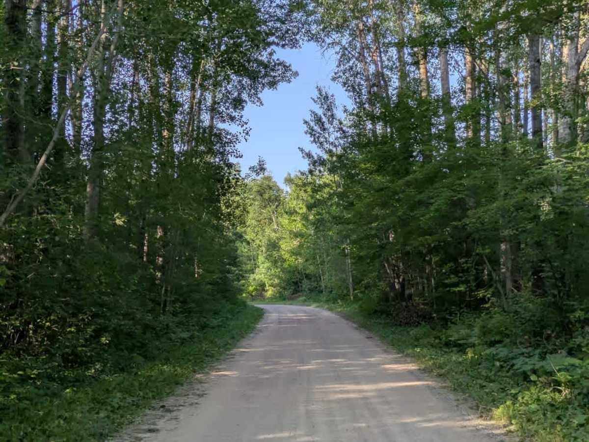
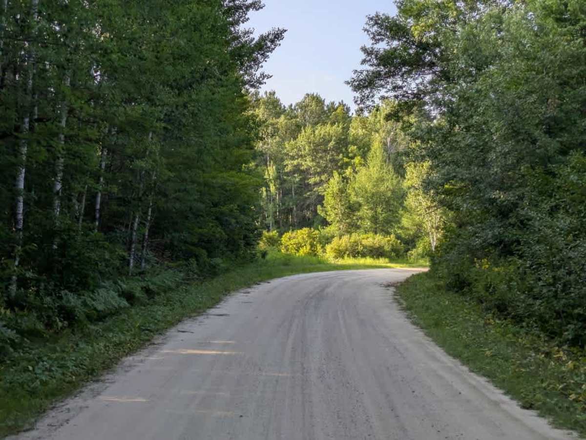
This trail is a two-vehicle-wide track made up of well-maintained gravel and sand that winds through the surrounding forest. Because it is a popular route, the surface is often corrugated, which can result in a rougher ride in certain areas. Drivers should also be mindful of local traffic, as the trail is frequently used. The route eventually leads to a public water access point with a boat launch and a boat cleaning station. A toilet facility is available at this location, providing some basic convenience. Contrary to the information provided on the forest maps, there are no designated campsites along this trail; however, it may be possible to overnight in the parking lot near the water access. The trail itself does not offer any dispersed or formal camping areas, and visitors will not find amenities such as trash disposal or a potable water supply. Cell phone coverage in this area may be inconsistent, so travelers should not rely on it. Overall, this is a straightforward forested route that serves as a connection to the water access, offering limited facilities but no camping infrastructure.
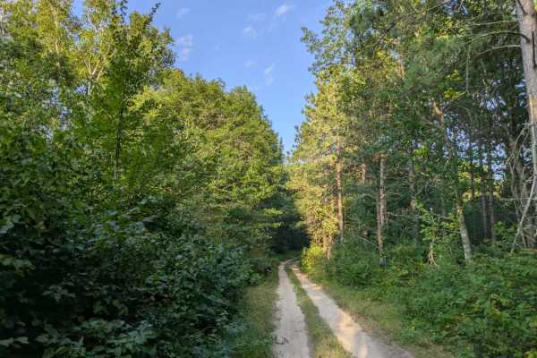
Difficulty
This forest trail is well-maintained and used daily by residents and adventurers. The route is wide and clear of debris, with established tread and minimal overgrowth, making it ideal for a smooth and scenic drive.