Trail Overview
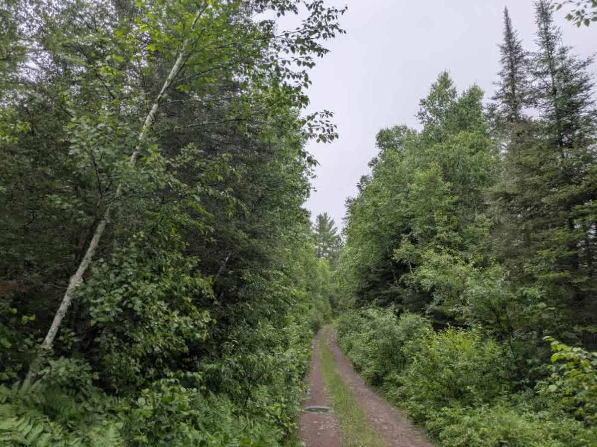
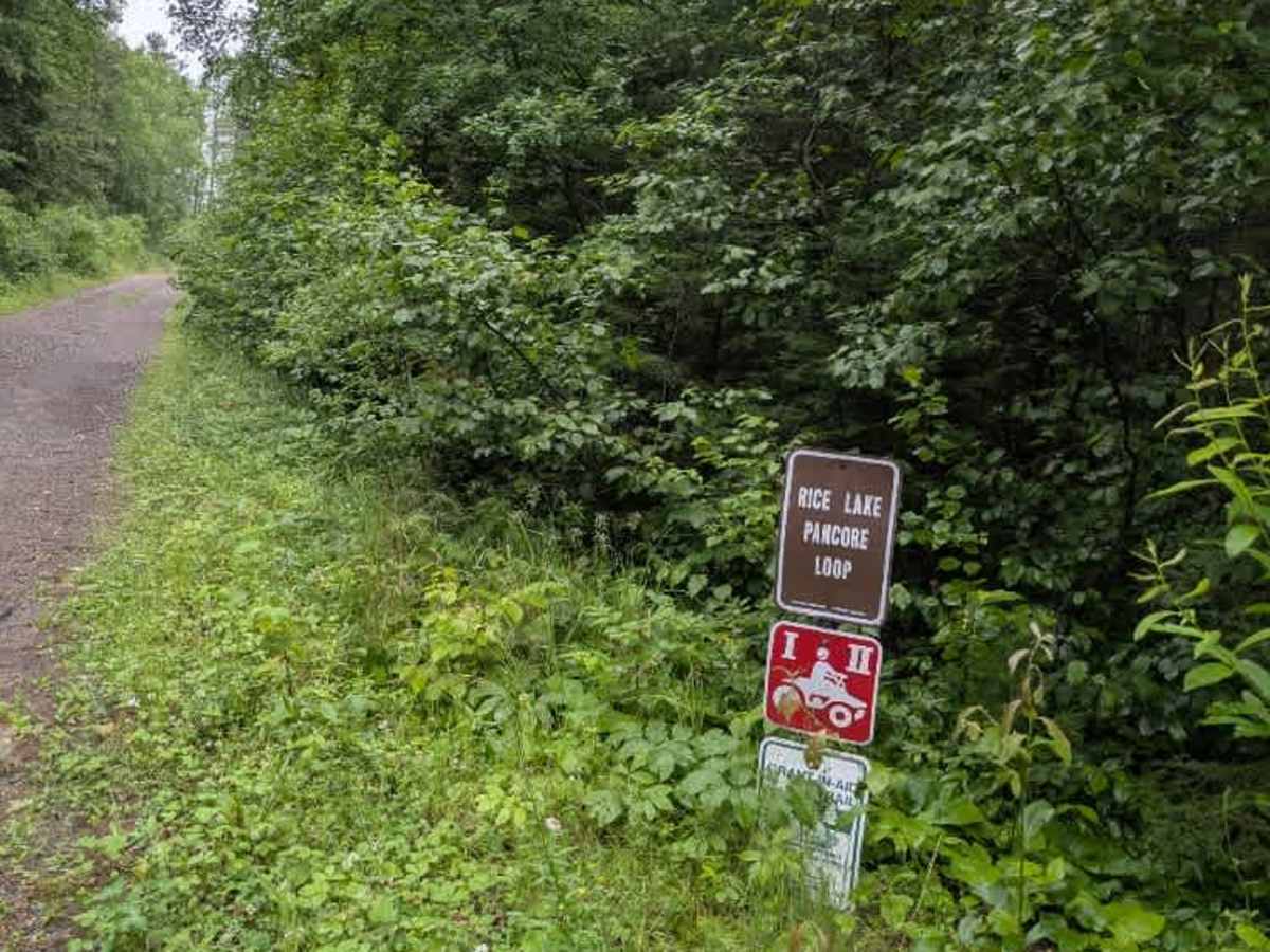
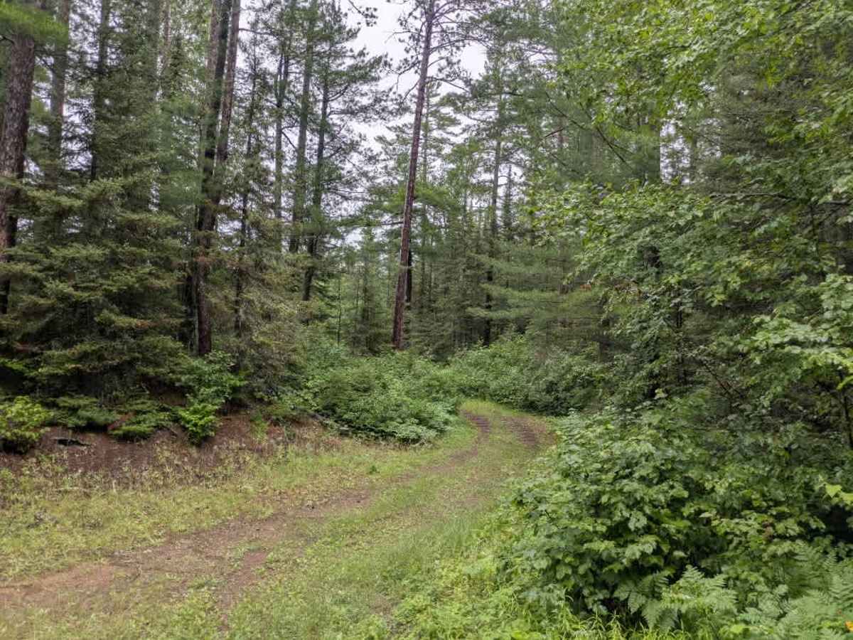
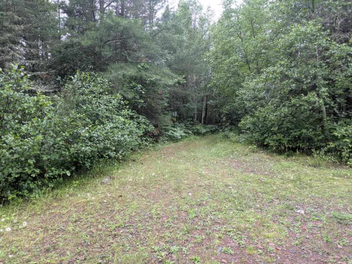
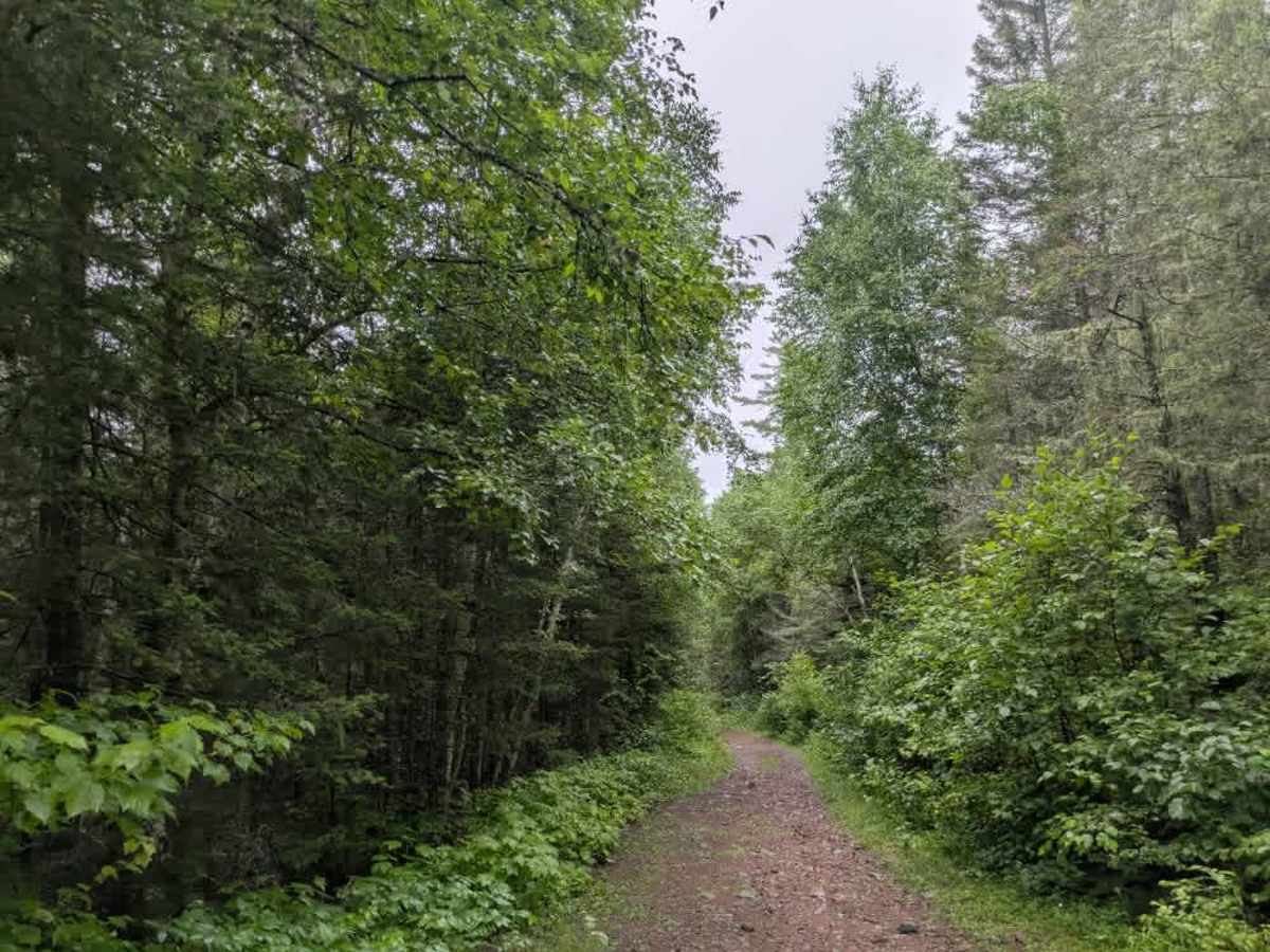
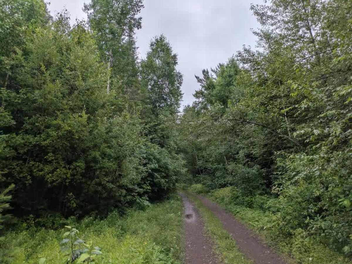
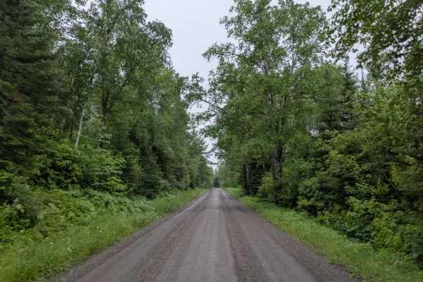
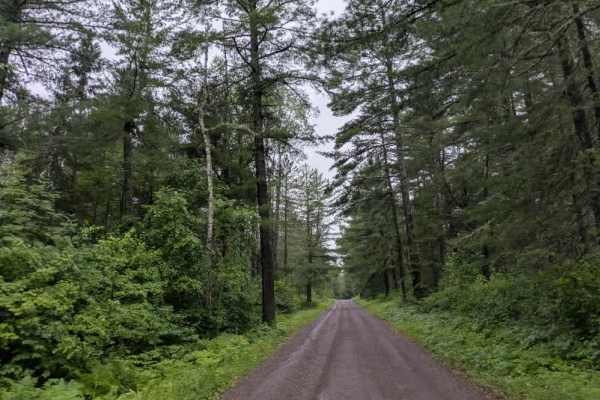
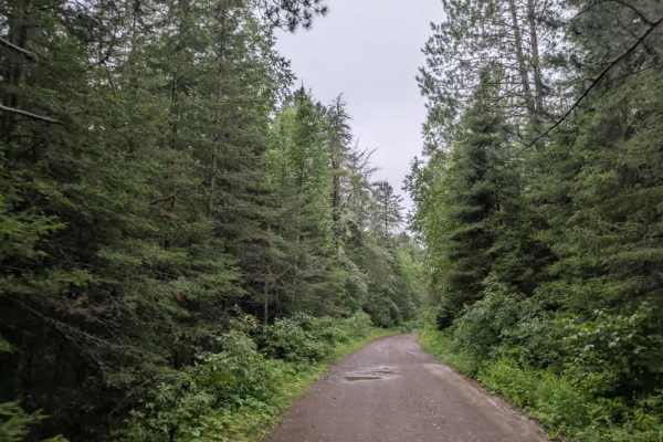
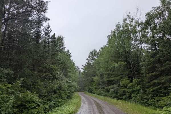
This fun trail is accessed from Sawbill Trail and begins as a narrow two-track route that is quite bumpy and uneven. After a short distance, it intersects with the Pancore Loop, and from there, the trail becomes more engaging for off-road travel. It grows increasingly overgrown and rocky, with large puddles scattered along the way and stretches of mud underlain by firm, rocky ground. The trail winds through dense forest and includes several steep ascents and descents that require careful driving. Along the route, there are a few clearings, one of which features informal parking and an old fire ring. The trail also passes a meadow with a small creek and continues through areas with standing water, making it a slower and more technical drive. It eventually ends at Clara Lake Road. This route is best suited for ATVs, side-by-sides, and smaller 4WD vehicles. There are no formal campgrounds, and the area lacks basic services, including trash disposal and potable water. Cell reception may be poor or unavailable.
Difficulty
This forested route is lightly maintained and is typically used during peak seasons. Expect occasional fallen limbs, narrowing sections from plant growth, and minor obstacles.