Trail Overview
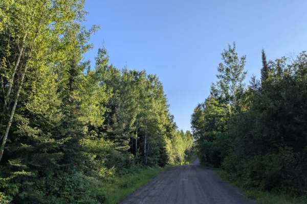
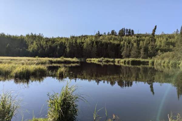
Old Gunflint Trail is a wide, well-maintained gravel road that easily accommodates two-way traffic. It winds through forested terrain with numerous ascents and descents, offering a varied and engaging drive. The trail passes several private residences, so drivers should remain alert for local traffic, especially near driveways and blind corners. Along the route, the trail provides access to the Iron Lake Campground, which features basic facilities such as picnic tables, fire rings, and toilets. Beyond the campground, the trail continues past a series of scenic lakes that add to the route’s overall appeal. While the drive is enjoyable and the surroundings are pleasant, the trail itself does not offer additional amenities such as trash disposal or potable water. Cell service may be intermittent or unavailable in certain areas, so it’s best to plan accordingly before heading out.
History
What became the Gunflint Trail began as a footpath used by the Ojibwe, Dakota, Cree, and early European voyageurs for hunting, fishing, and trading. In the 1870s–1880s, miner Henry Mayhew commissioned a dingy wagon road from Grand Marais toward inland lakes like Rove and Gunflint Lake (then known for chert used in early flintlocks). The mineral chert gave rise to the name “Gunflint” Trail.