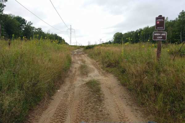
Trail Overview
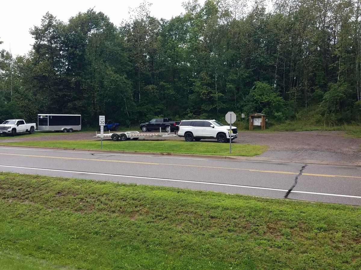
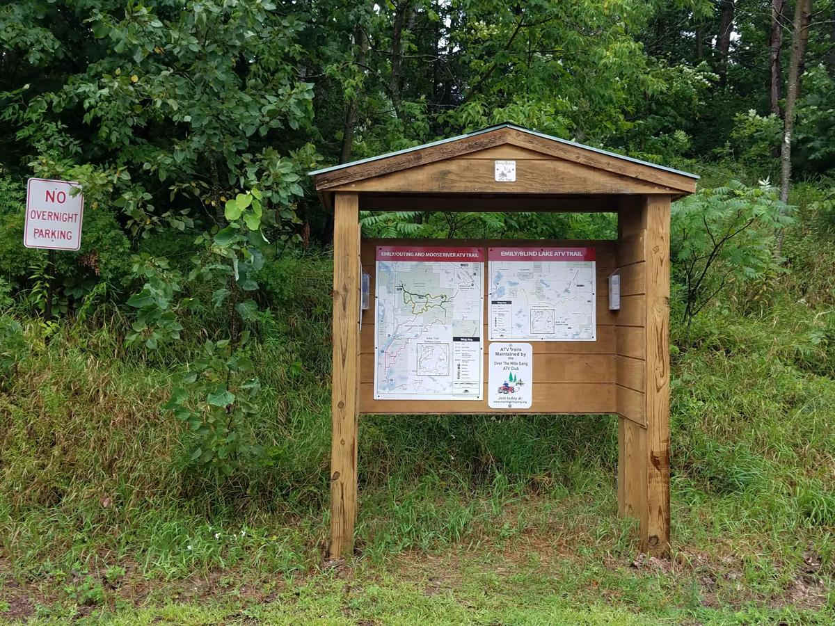
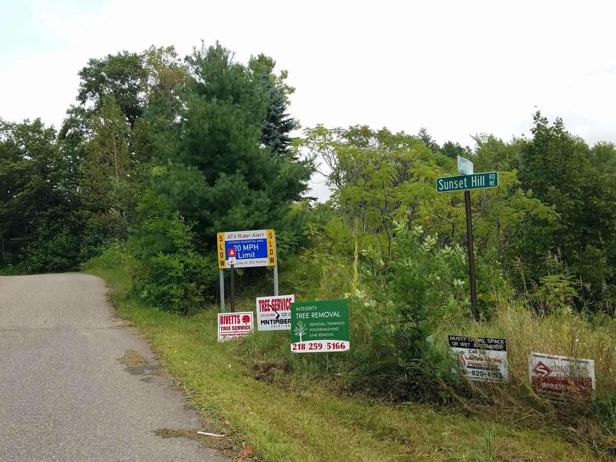
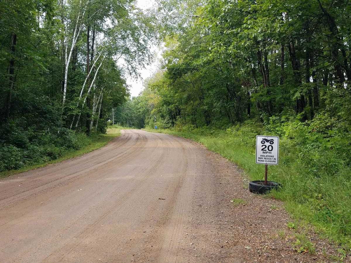
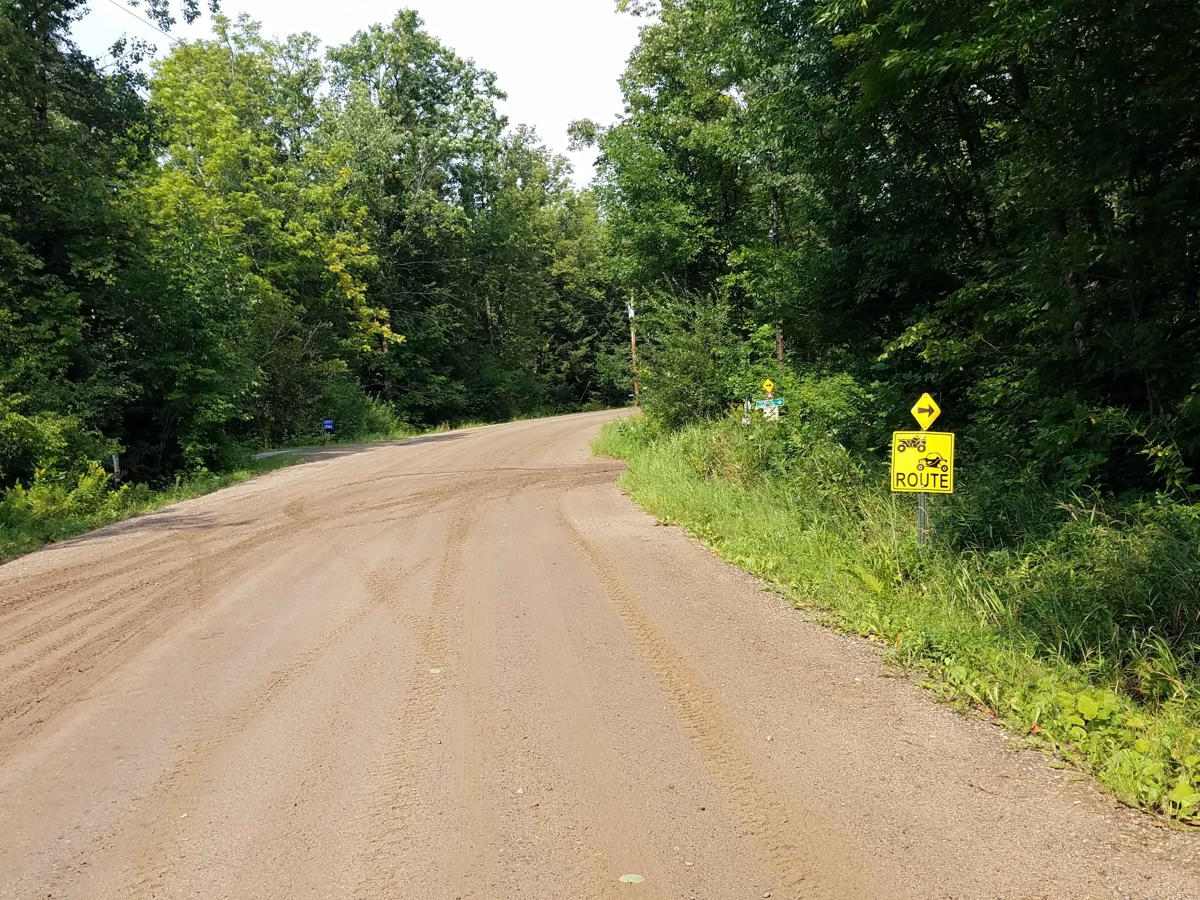
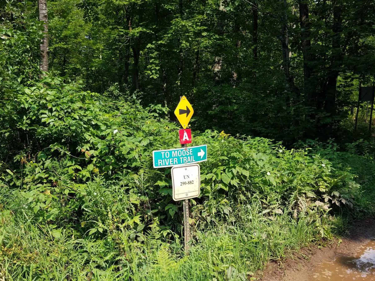
North of Outing on the Emily-Outing A Trail was mapped from the Outing ATV Parking lot to the south end of the Moose River area Wren Lake Loop. This section starts from the parking lot on hardtop Cass County Road 58 for about 1700 feet to where the trail follows Sunset Hill Road NE, which is a residential area along the east shore of Roosevelt Lake. (Please obey the 20 MPH speed limit signs and keep dust & noise to as little as possible; the total distance from the parking lot to where the trail leaves the residential areas is only 1.8 miles and takes no time at all going slow) This section of trail is 5.8 miles long and takes about 28 minutes including time for trail pictures at an average speed of 12.1 MPH.
Difficulty
Main reasons for the trail rating is narrow areas of raised trail with chances of deep water and ruts off to the sides of the trail in areas. Most water crossings were easy when mapped, however if a bypass to a water cross was available it was taken due to rains prior to the time the trail was mapped. (Stock 2 door 60" wide SxS was used for mapping and ratings, longer 4 door might have slightly more difficulty on some of the "raised trails" making turns if you visit after or during rain)