Trail Overview
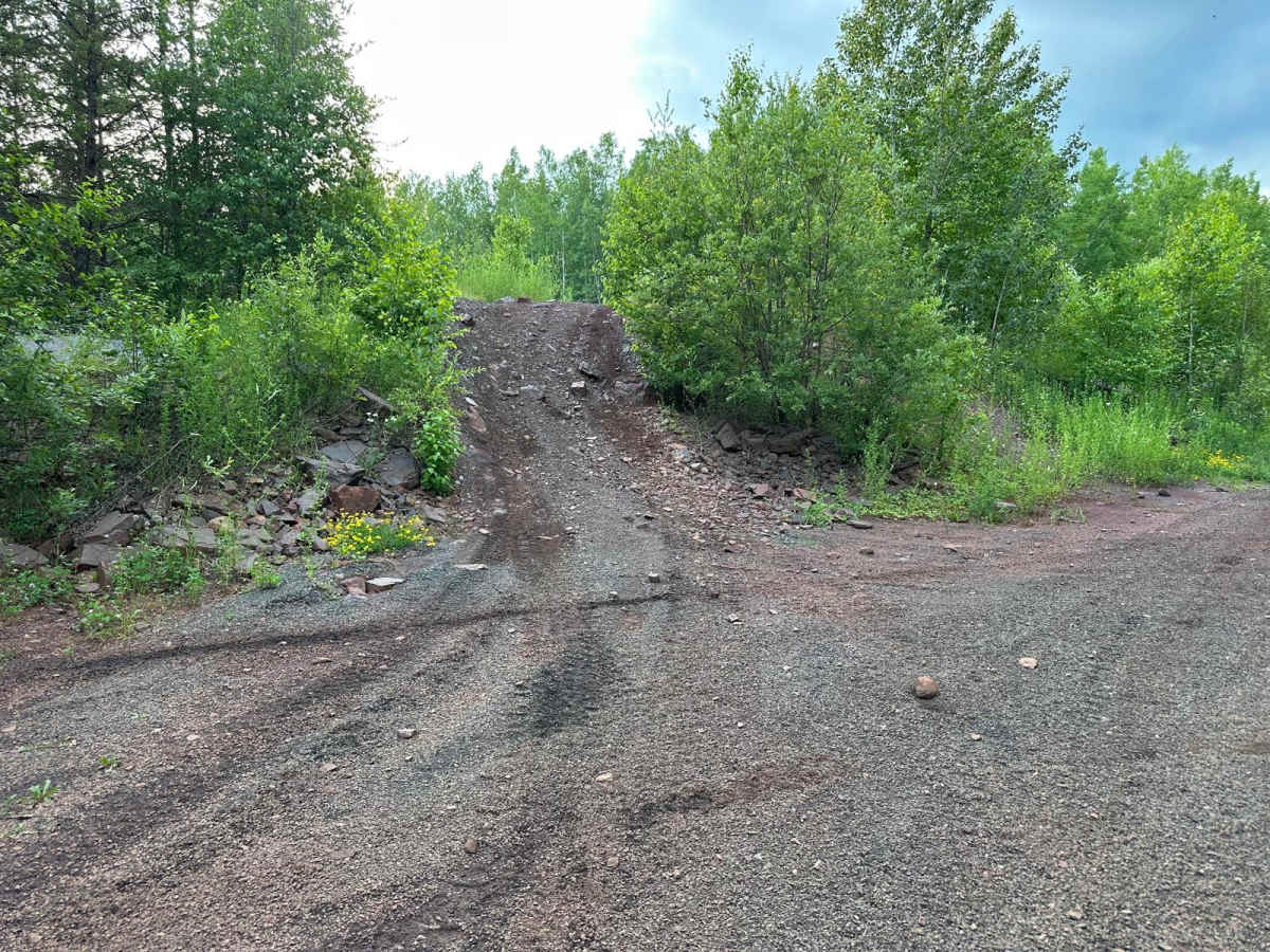
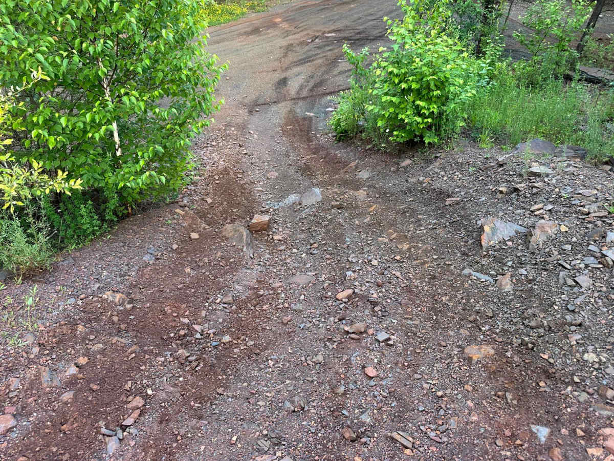
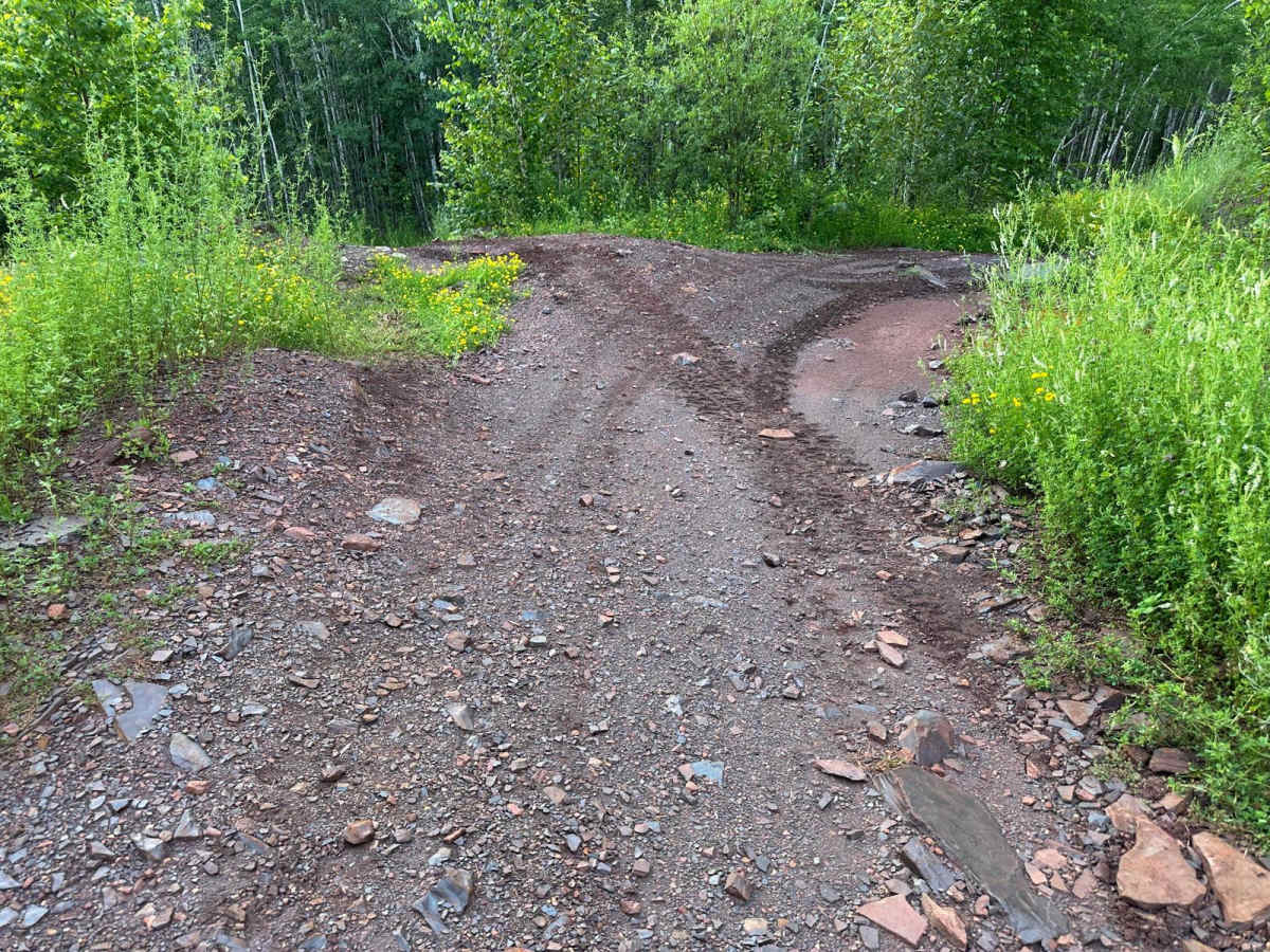
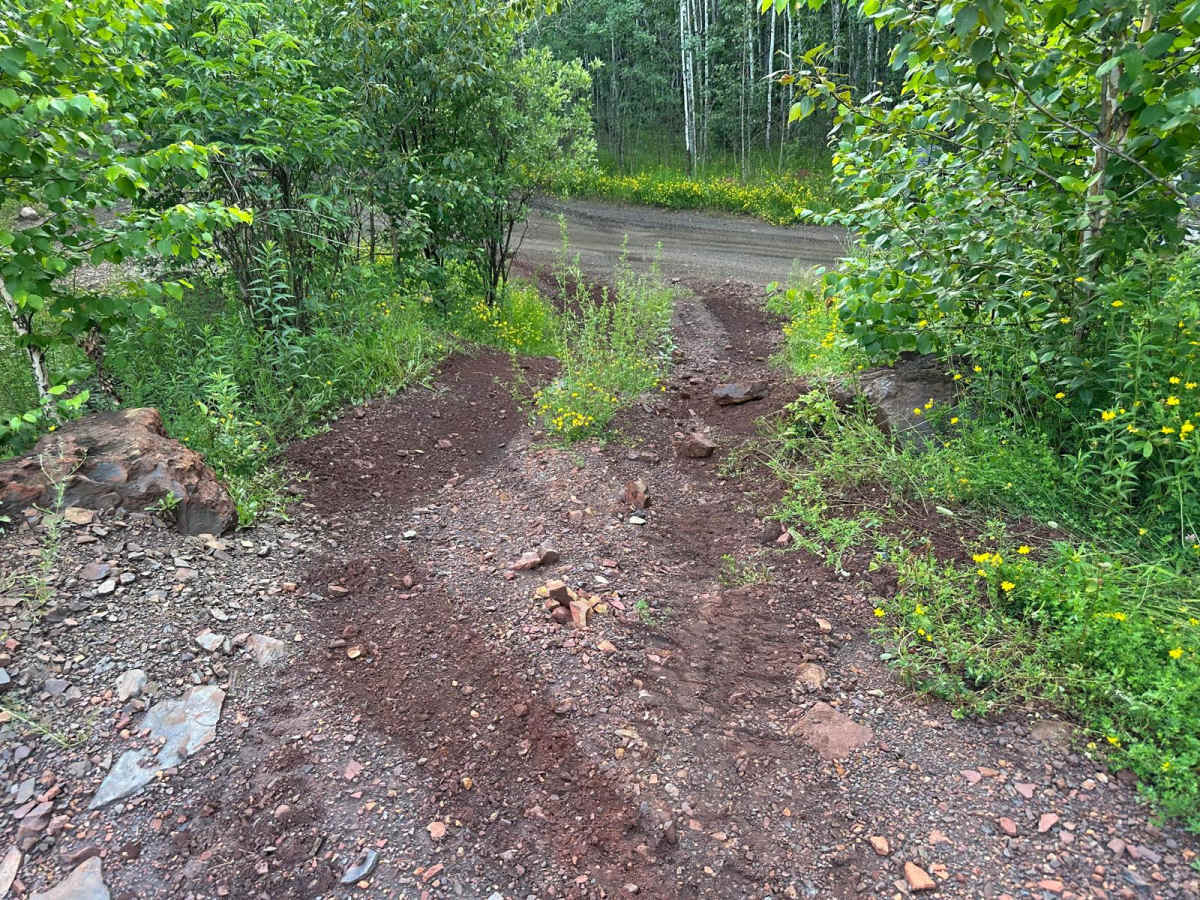
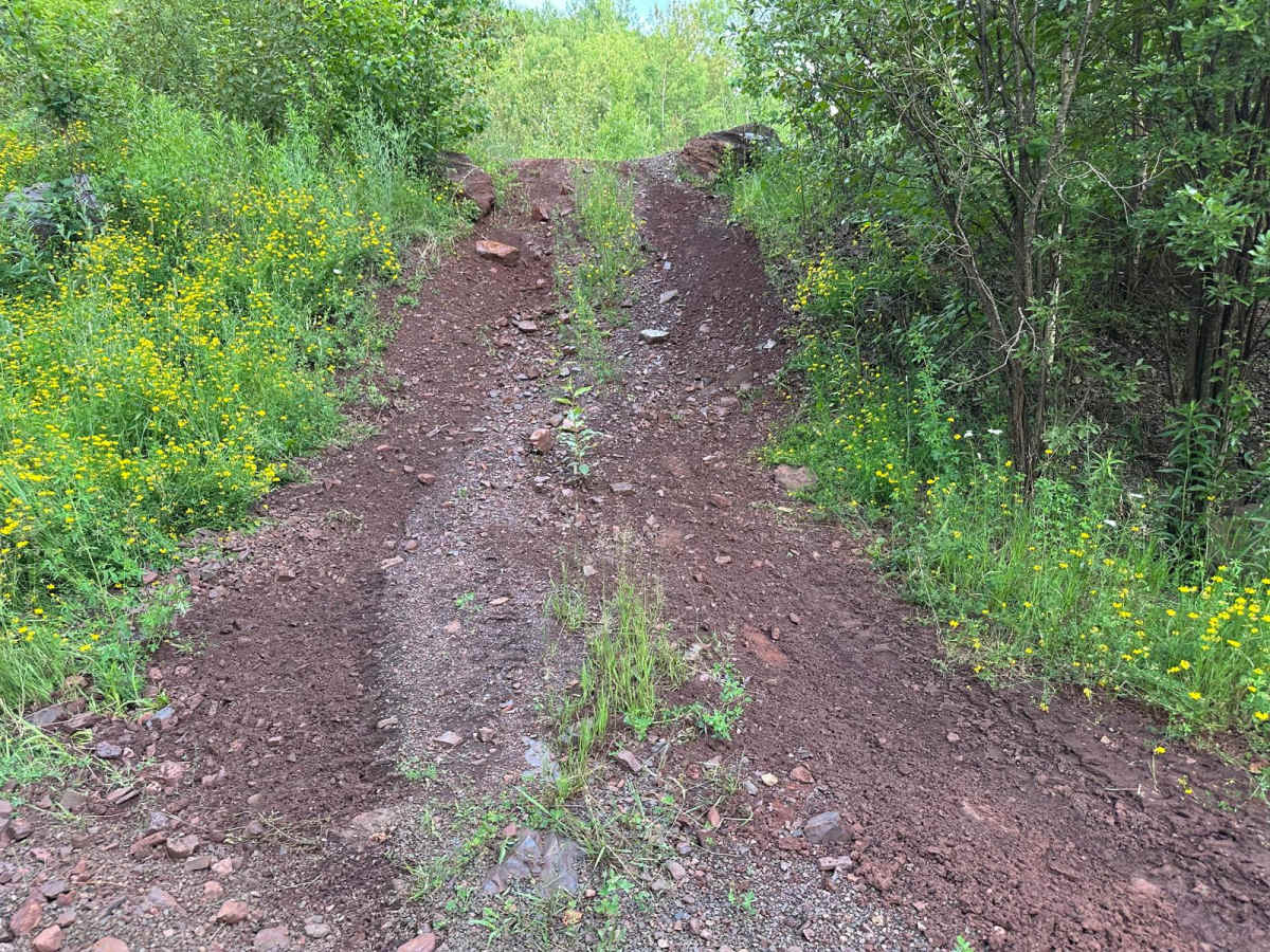
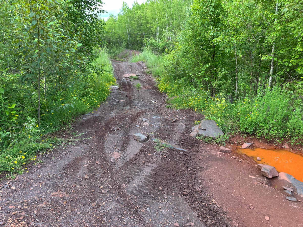
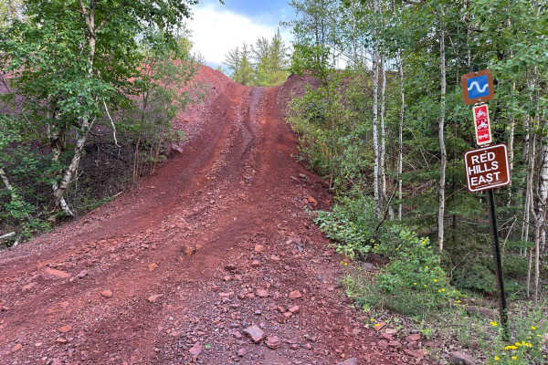
This short trail offers a couple of distinct line options, making it suitable for a range of vehicles and driver preferences. One option includes a moderately steep hill climb with embedded rocks that can reach up to one foot tall, depending on which line you take. This route is ideal for those seeking a bit more of a technical challenge and who have a vehicle equipped with decent ground clearance. For those looking for a more relaxed experience, there's an alternate flat and smooth path that's easily manageable by nearly any vehicle, including stock rigs. The trail is versatile and accessible, offering something for everyone.
Difficulty
This trail offers two main lines. One is a moderate hill climb with rocks up to a foot tall, requiring decent clearance and careful tire placement. The other is a flat, easy bypass suitable for nearly any vehicle. With no major obstacles, it's a mild trail that gives drivers the option to challenge themselves or take it easy.
History
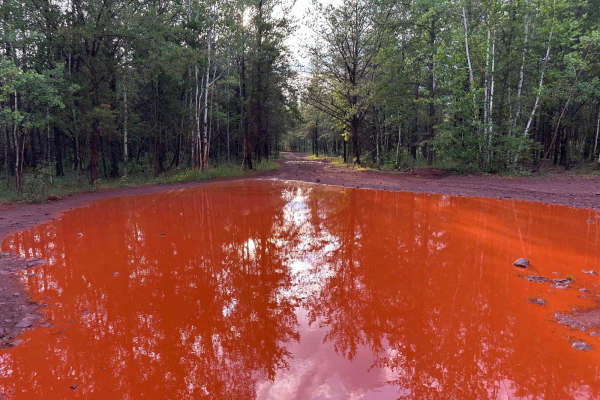
The Iron Range OHV Recreation Area was built on reclaimed mining land, once part of the rich Mesabi Iron Range that fueled U.S. steel production for over a century. Today, this 1,200+ acre site blends industrial history with outdoor adventure, offering a rare chance to ride through the remnants of Minnesota's mining legacy.

 Offroad