M & M Connector

Total Miles0.8
Technical Rating
2Easy
Best TimeSpring, Summer, Fall
Trail TypeFull-Width Road
Accessible By
Open Trail Map

Trail Overview

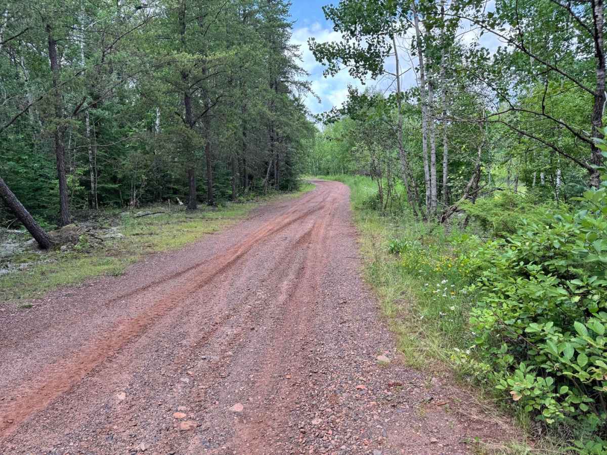
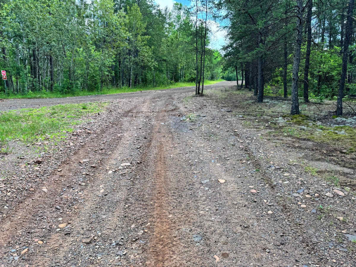
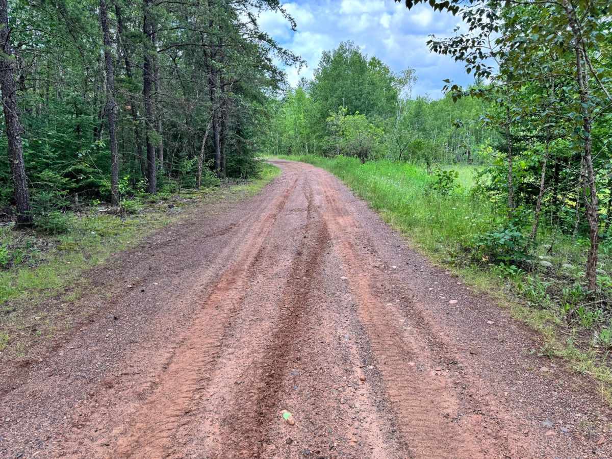
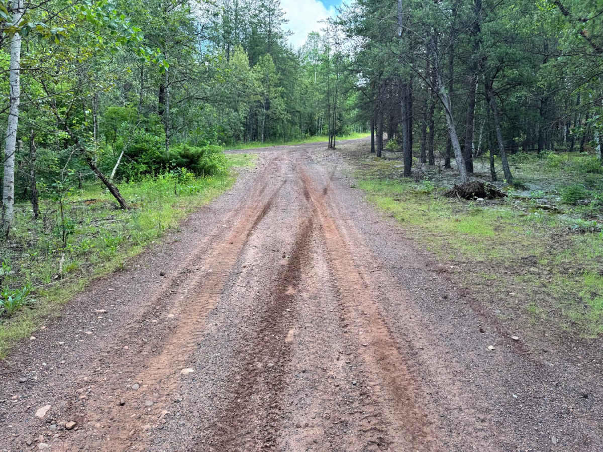
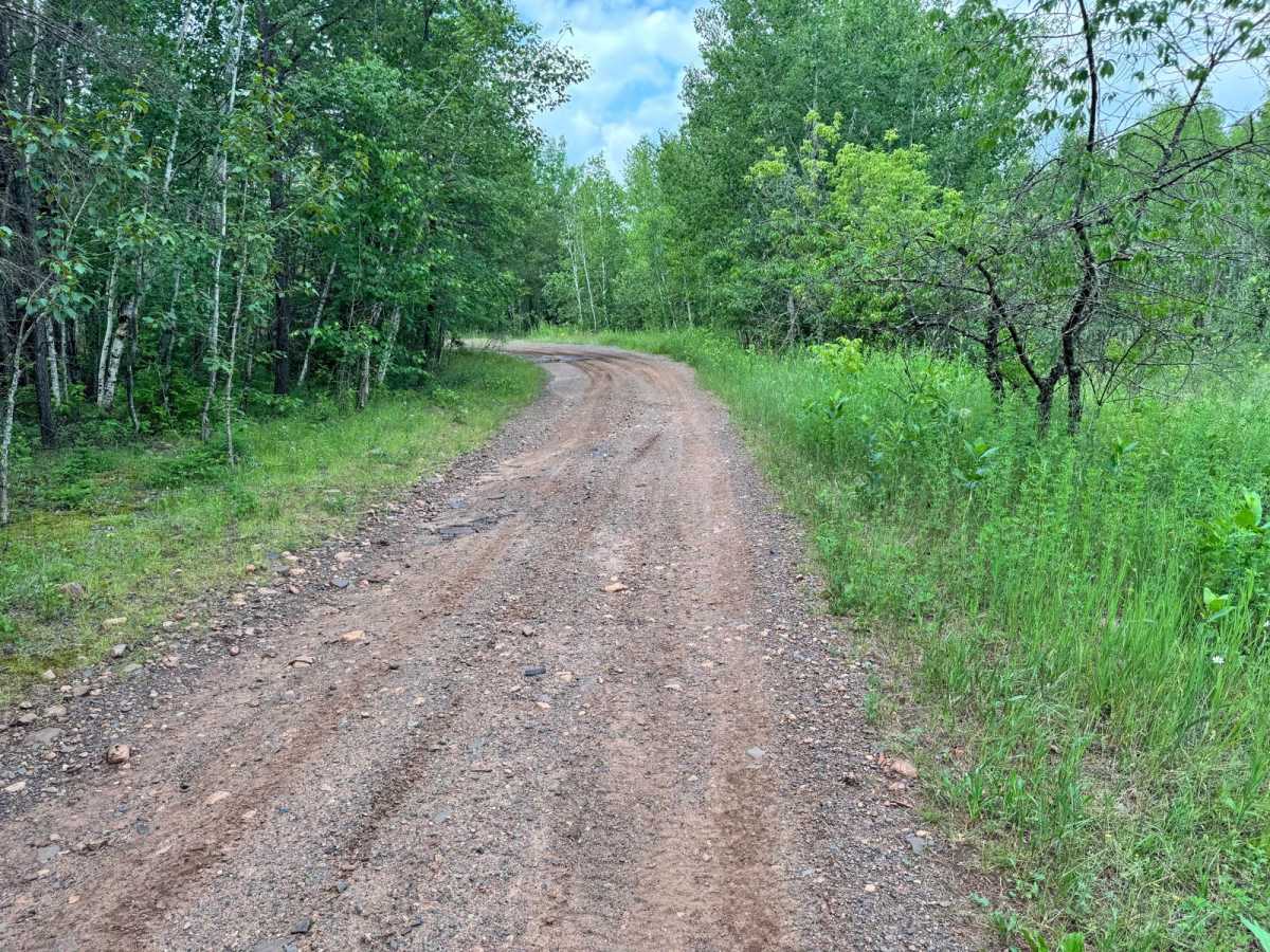
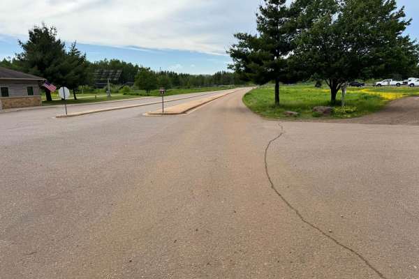
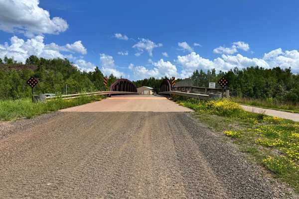
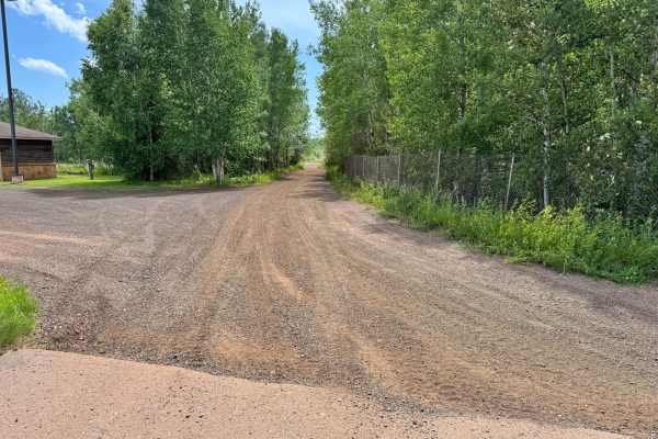
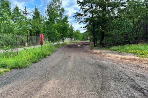
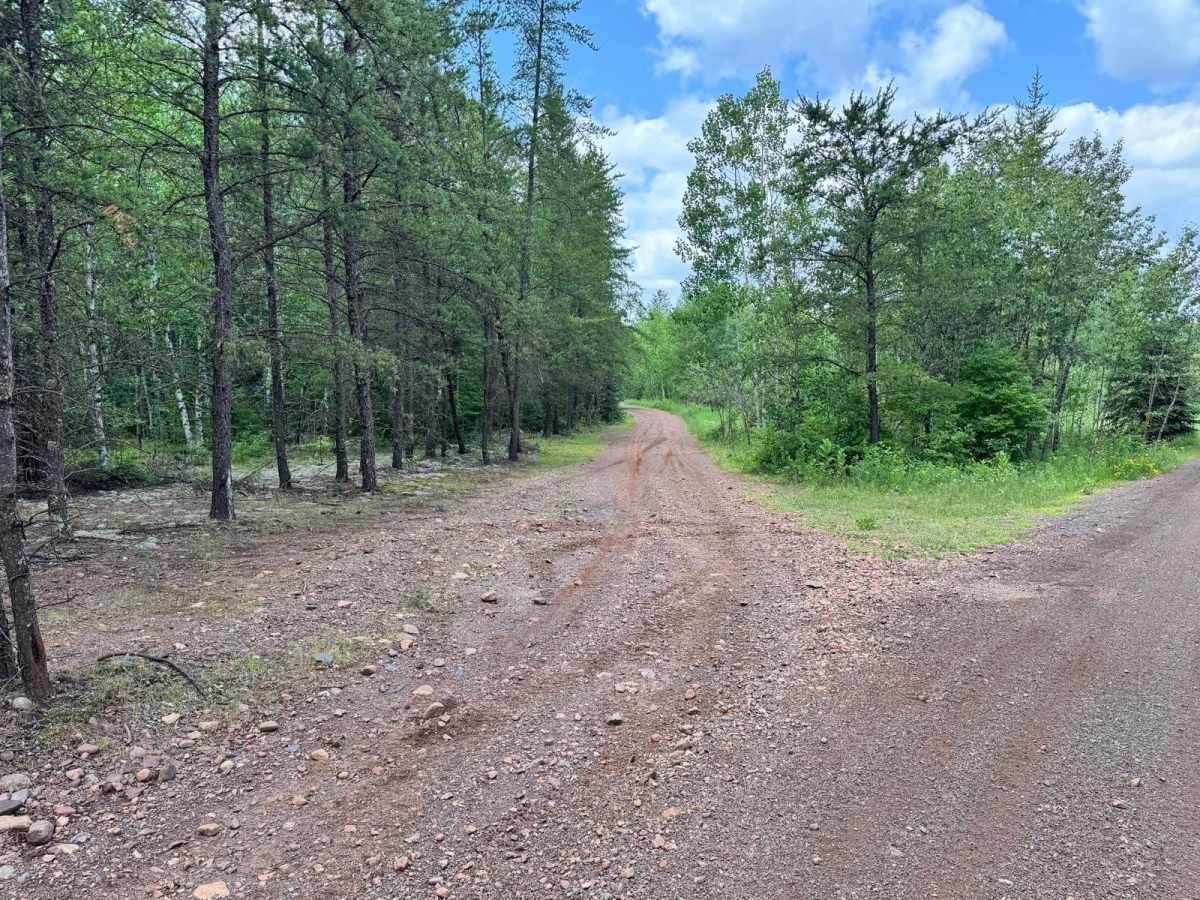
This short connector trail serves as a convenient route between Minesweeper Loop and Missabe Trail, meeting near the well-known Gumby's Rock area. It's primarily dirt-based and is suitable for most off-road vehicles regardless of skill level. While there are no major rock obstacles, challenging climbs, or technical features along the way, drivers should still proceed with basic caution, especially after periods of rain. The trail surface may hold standing water in the form of shallow mud puddles. Overall, this trail is great for linking routes or navigating around more difficult terrain.

Photos of M & M Connector

Difficulty

This connector trail offers minimal technical challenges and is suitable for all experience levels. The dirt base may become muddy after rainfall, but no significant obstacles or steep climbs are present. Ideal for navigating between trails without difficulty.

History

The Iron Range OHV Recreation Area was built on reclaimed mining land, once part of the rich Mesabi Iron Range that fueled U.S. steel production for over a century. Today, this 1,200+ acre site blends industrial history with outdoor adventure, offering a rare chance to ride through the remnants of Minnesota's mining legacy.

Technical Rating

2

M & M Connector Trail can be accessed by the following ride types:

  • Single Track
  • 50 Inch
  • 60 Inch
  • High Clearance
  • Full Width

M & M Connector Map

The onX Offroad Difference

onX Offroad combines trail photos, descriptions, difficulty ratings, width restrictions, seasonality, and more in a user-friendly interface. Available on all devices, with offline access and full compatibility with CarPlay and Android Auto. Discover what you're missing today!

Open Trail Map