Trail Overview
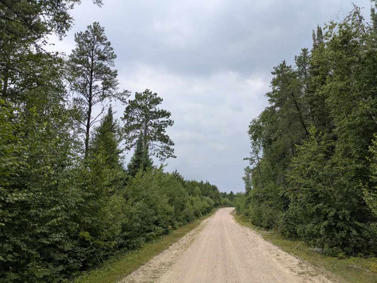
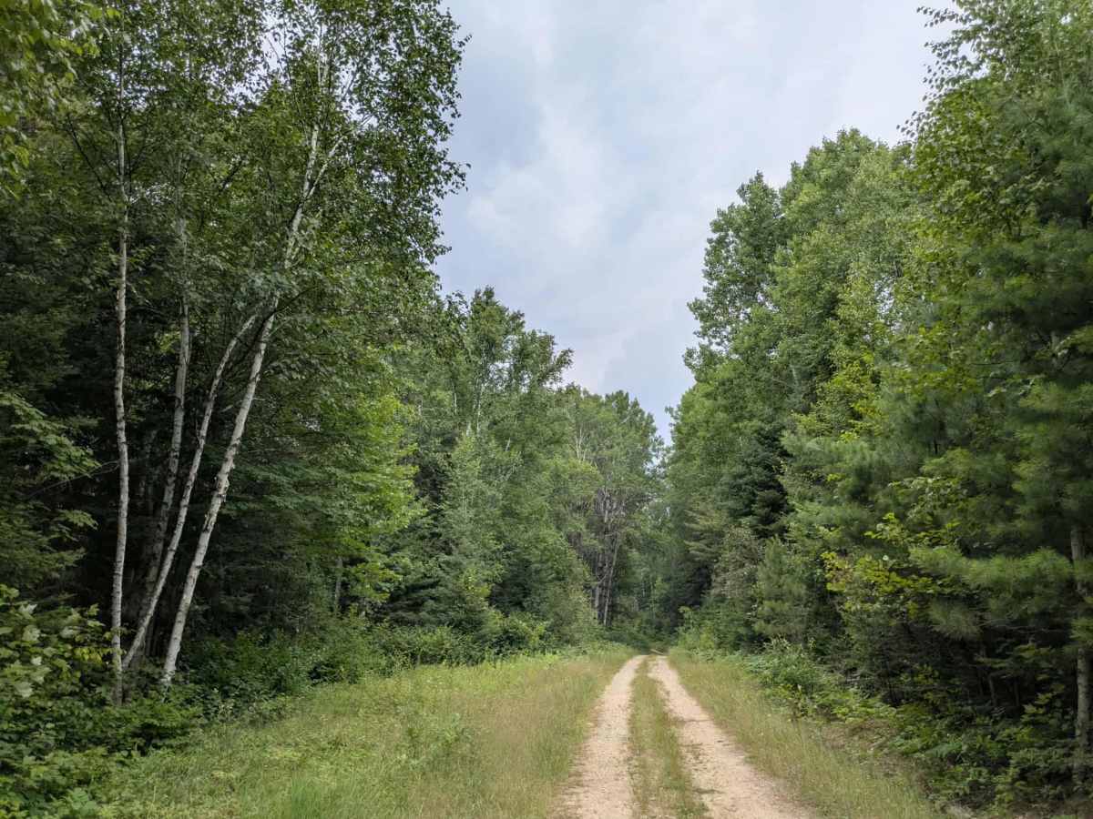
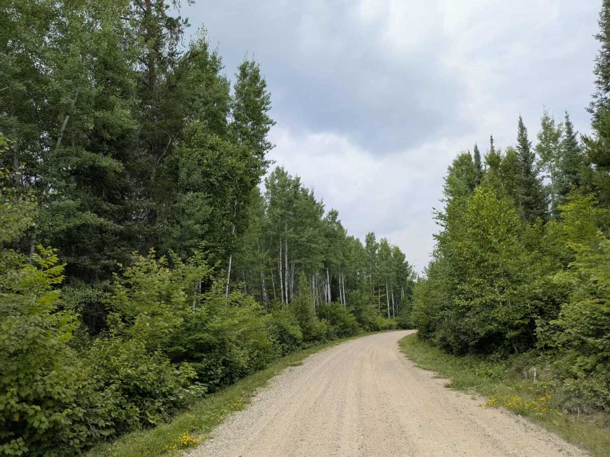
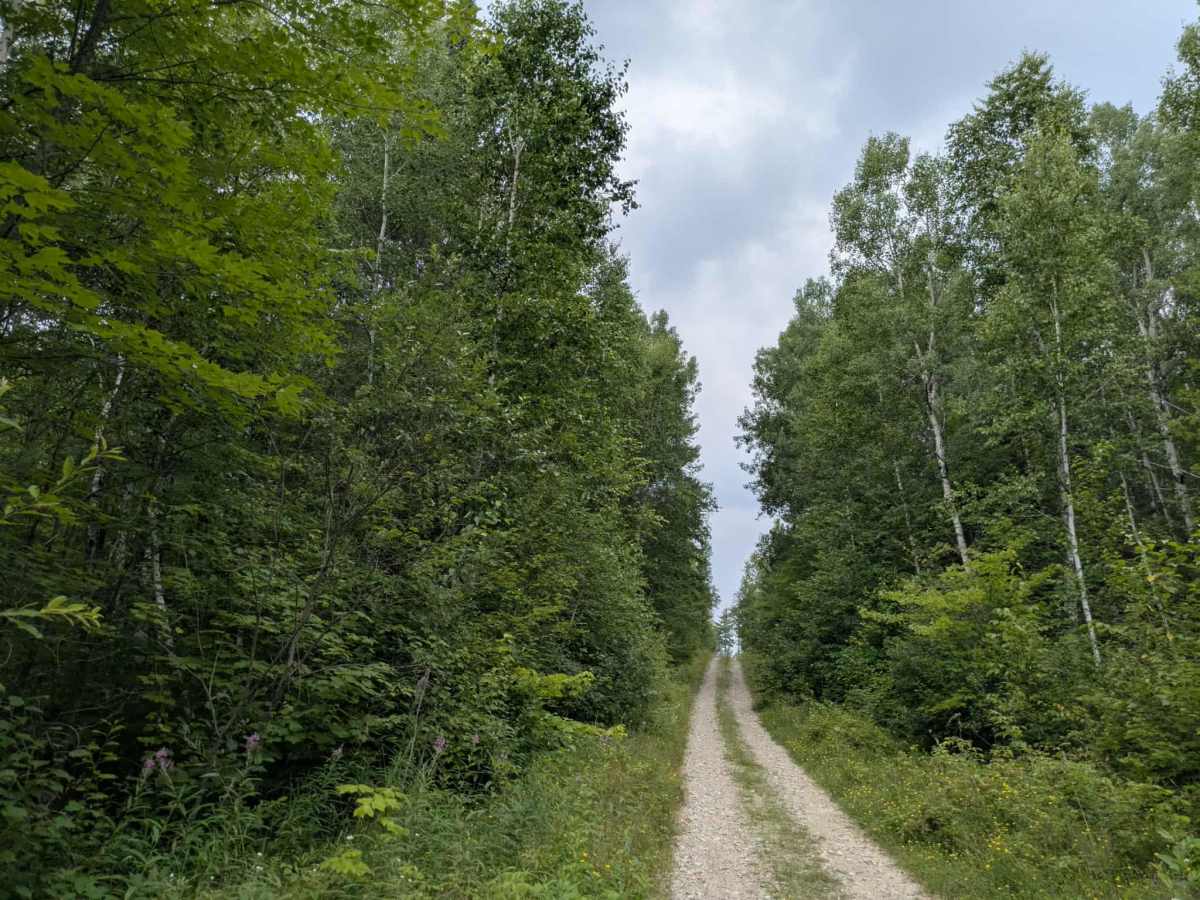
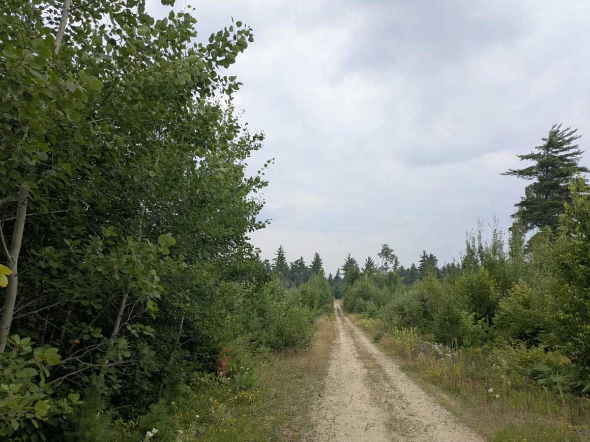
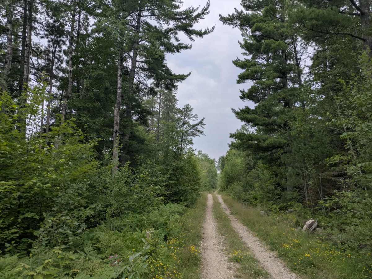
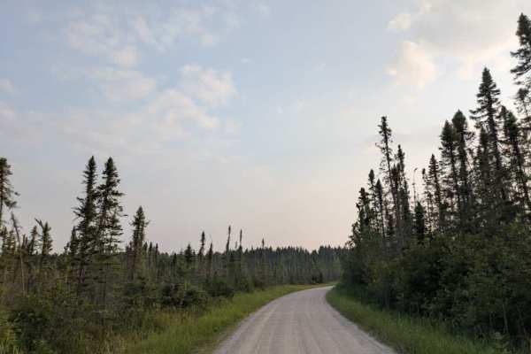
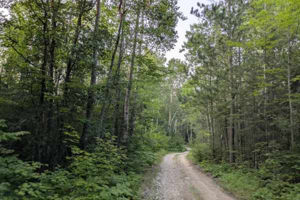
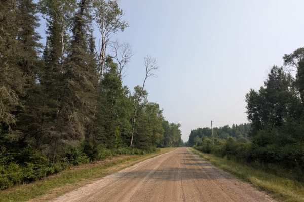
This trail presents a challenging route for overlanders, especially during the warmer months. It begins as a wide, well-maintained gravel road that is smooth and easily navigable, offering a relatively relaxed start. The main gravel road curves left toward a lake with a beach that locals consider one of the area’s finest, while the 610 continues straight, narrowing into a rougher two-track trail. As the trail progresses, it passes a small clearing with a modest fire ring that appears to have been used for dispersed camping. A boom gate marks the entrance to the next section, which in August 2025 remained open despite appearing as though it should be closed. Beyond the gate, the trail deteriorates rapidly. It becomes heavily overgrown and interspersed with large, muddy sections. Just before the end, there is a stretch of solid but slippery mud, flanked by a bog concealed beneath dense vegetation. This particular bog is deep, thick with clay, and offers no viable anchor points for winching due to the small size of surrounding trees. Recovery can be extremely difficult—our own vehicle was stuck for five hours before help arrived. Locals advise that the trail worsens further on, and note that it is primarily intended as a winter logging route when the ground is frozen. While there are some designated campsites in the area, the trail itself lacks amenities such as trash bins or a water source. Fortunately, AT&T cell service is available. This is a route best tackled with caution and preparation, and may be better suited to winter travel.
Difficulty
This route begins as a wide, maintained road but quickly becomes a more challenging route that should not be attempted in wet weather or after recent rain, as the trail runs in between a bog/marsh with the ability to veer off the track. Best suited to ATVs and side-by-sides.