Trail Overview
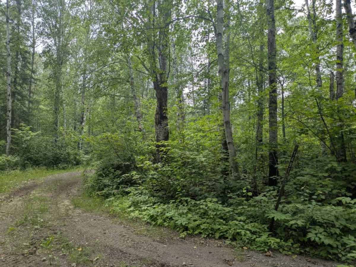
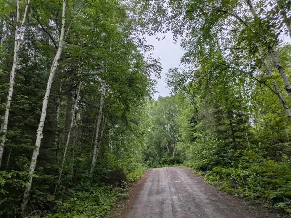
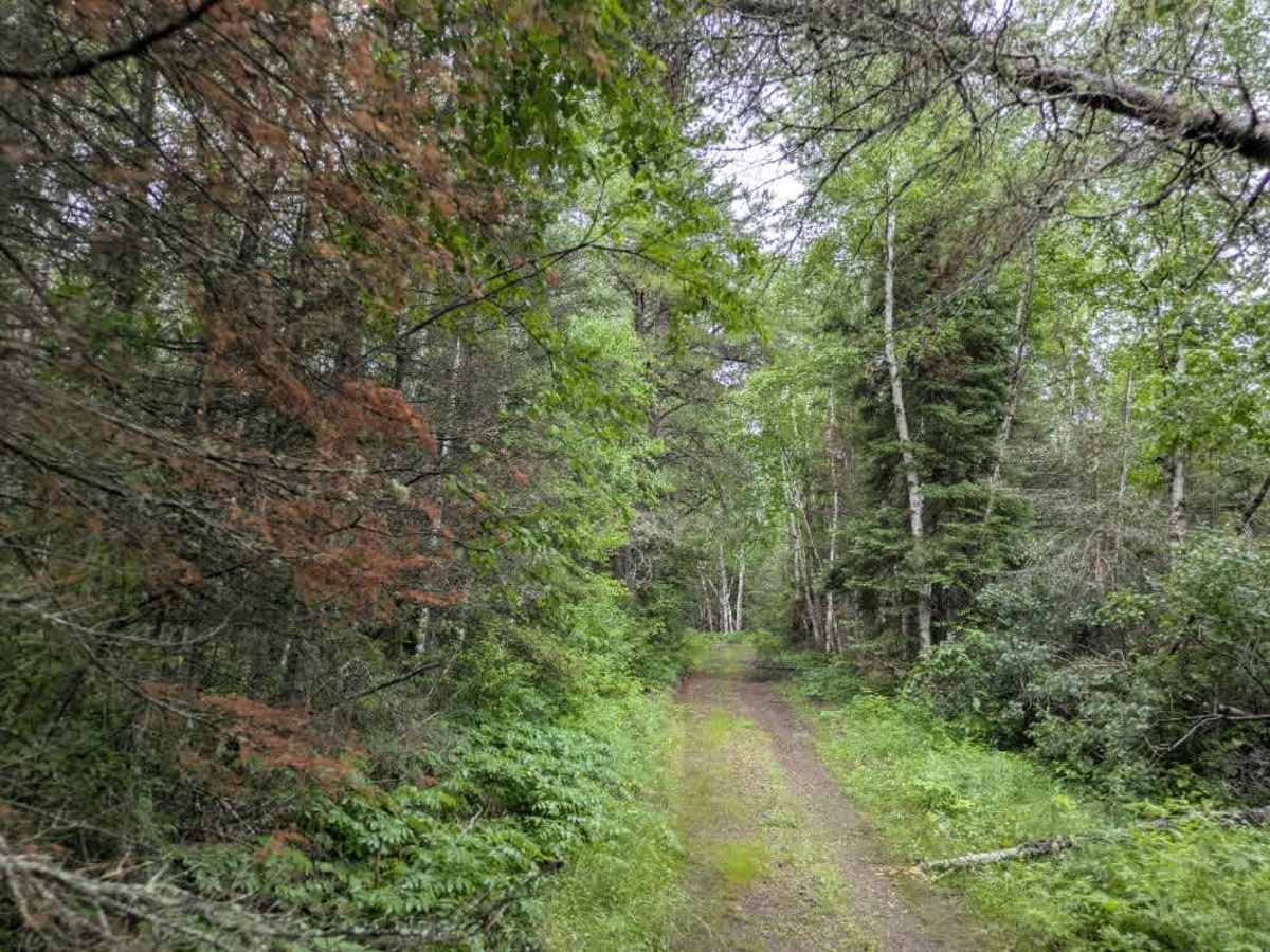
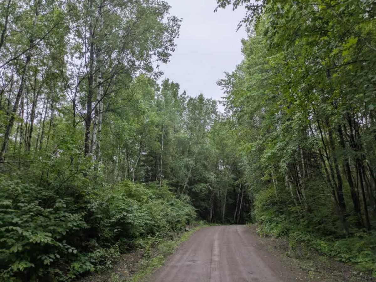
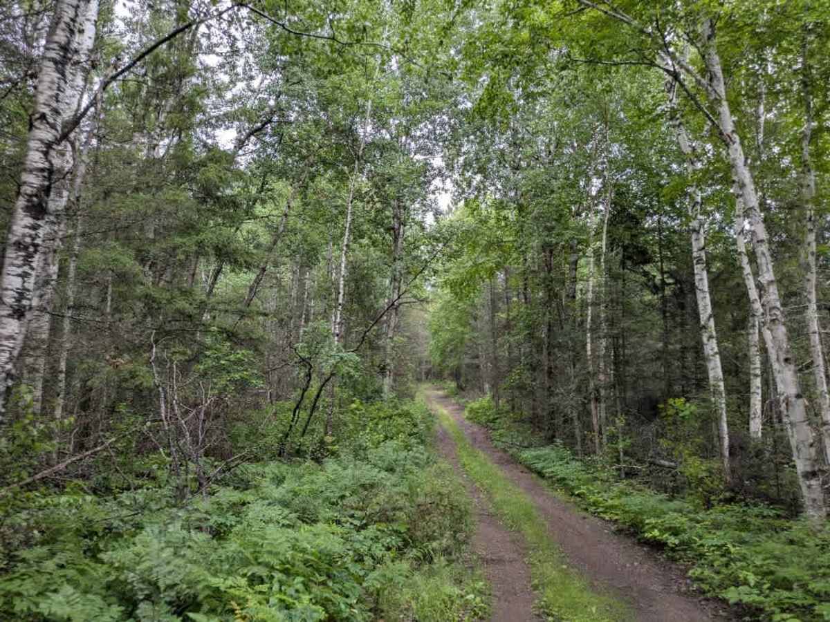
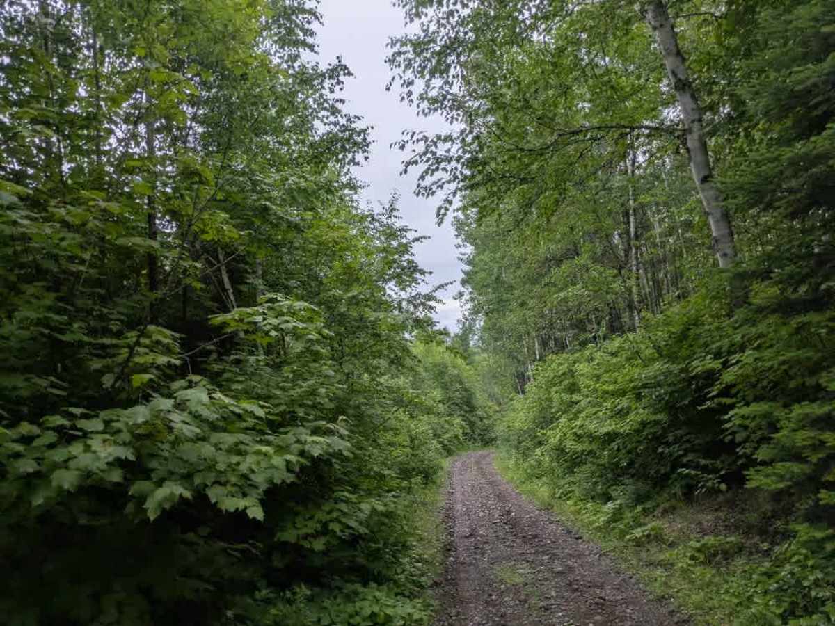
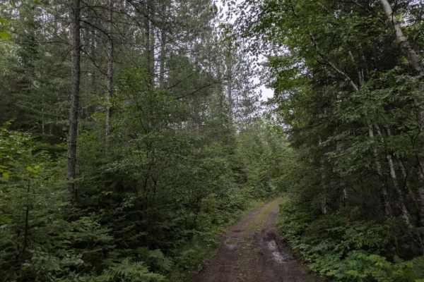
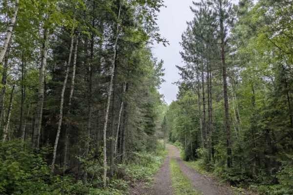
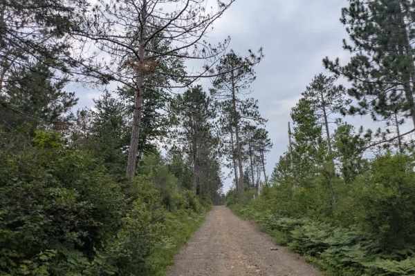
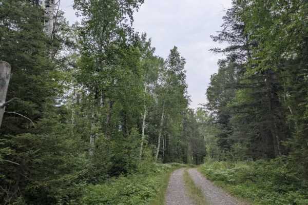
Forest Service Road 1491 begins as a wide, well-maintained gravel road and follows a steady course through forested terrain. Early on, there are a few spur trails, including one that is heavily overgrown and appears to lead toward a nearby lake. Several clearings appear along the way, one of which includes a quarry. After this point, the trail narrows to a two-track route and becomes considerably more rugged. The surface turns rocky and muddy, and vegetation encroaches on both sides. The trail crosses two creeks, both of which were passable despite partial flooding caused by a beaver dam. Drivers should expect some steep ascents and descents along this section. The trail eventually connects with the Kelly Lake Road, which offers a more playful and technical riding experience. There are no formal campsites along FS 1491, and no amenities such as water, trash bins, or toilets. Cell phone reception may be weak or unavailable.
Difficulty
The trail is maintained but can develop light overgrowth between trims, especially in the summer months. Commonly used by local OHV traffic, the path remains visible and passable, though branches and low brush may occasionally encroach.