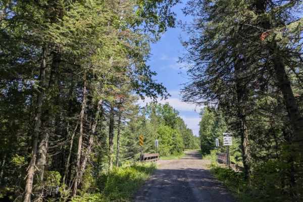
Trail Overview
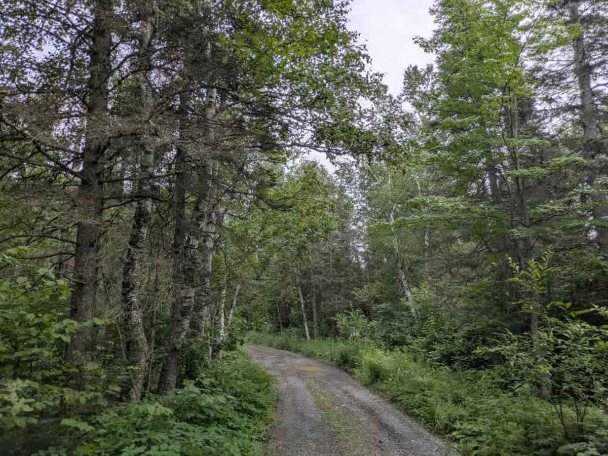
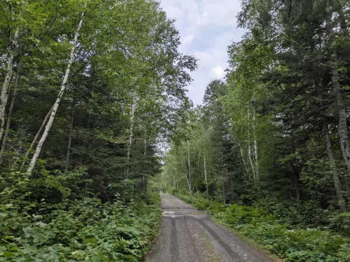
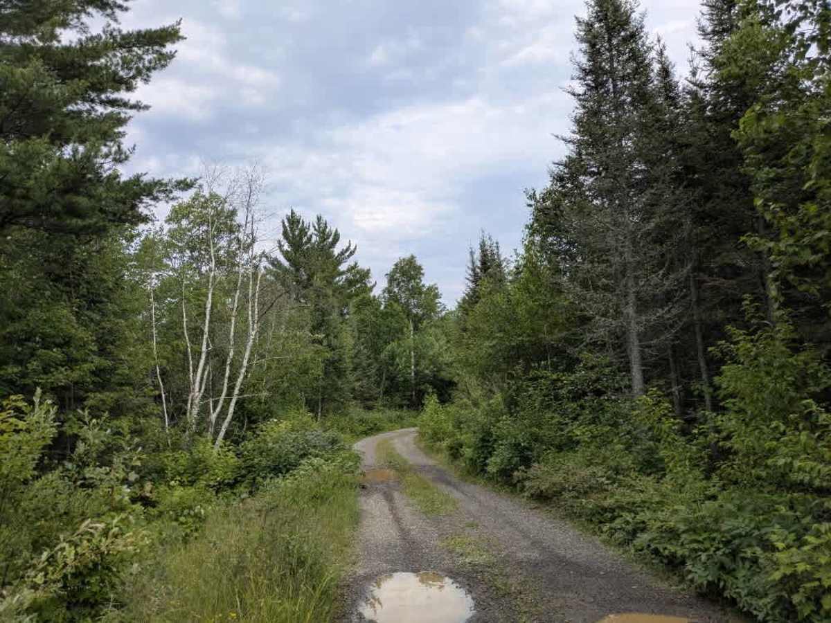
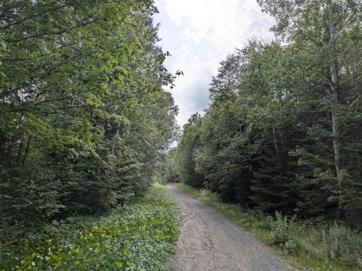
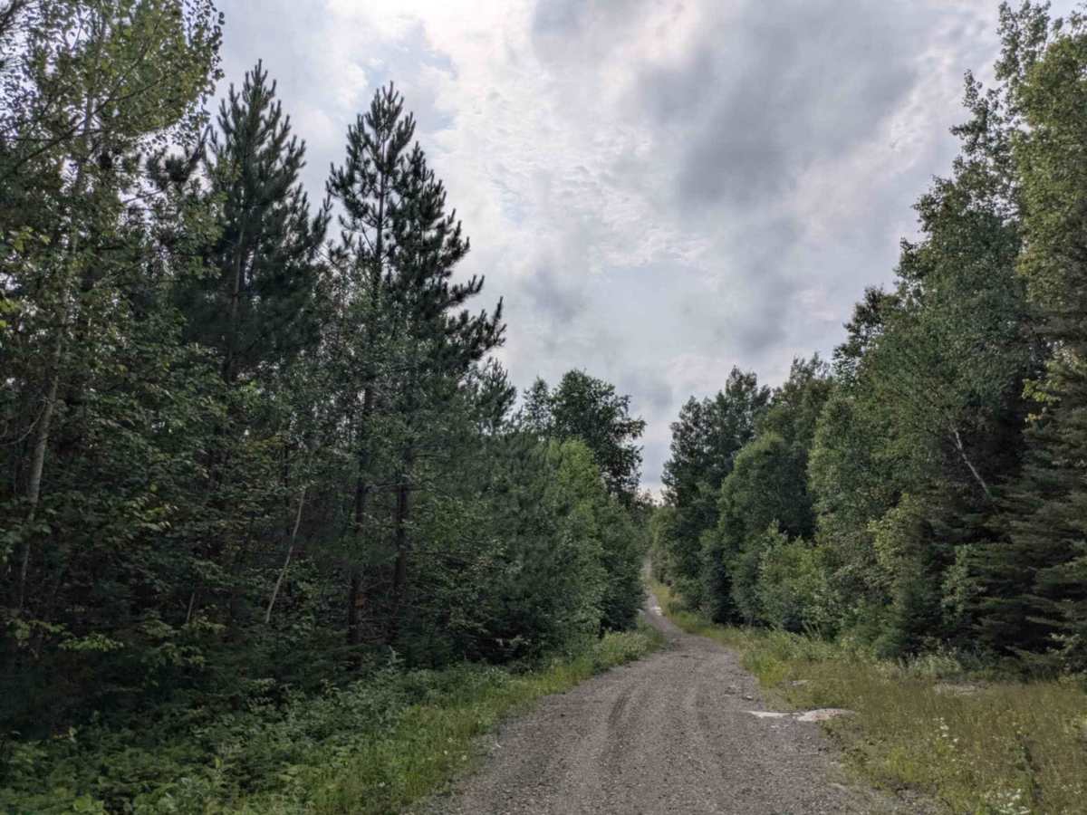
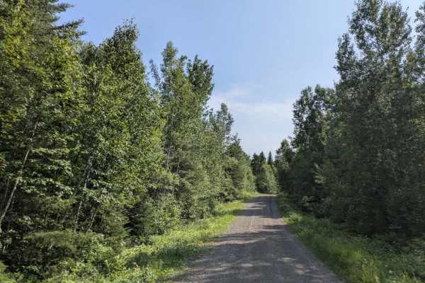
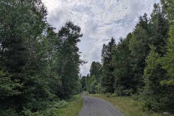
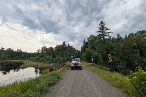
Devilfish Overlook Trail is a narrow, scenic two-track accessed from Powers Lake Road. The route leads to a high point marked by a communications tower and a forested overlook. The trail surface is gravel and notably overgrown, with large puddles, potholes, and scattered rocks that make for a consistently bumpy drive. It winds through wooded terrain with a mix of ascents and descents, some of which are fairly steep. Beyond the communications tower, the trail transitions to a privately maintained section that is in considerably worse condition. This stretch features deep water erosion and uneven surfaces as it climbs toward a locked gate. Just before the gate, there is access to a trailhead where hiking and biking are permitted. Beyond this point, the trail becomes Esther Woods Trail, which ends in a dead end—one side trail branches off along the route, bordered by private property on either side. There are no formal campsites, and no services such as trash disposal or potable water. Cell phone coverage may be limited.
Difficulty
The trail is maintained but can develop light overgrowth between trims, especially in the summer months. Commonly used by local OHV traffic, the path remains visible and passable, though branches and low brush may occasionally encroach.
History
Grand Portage, known to the Ojibwe as Gichi Onigaming (“Great Carrying Place”), has been a vital trade route for centuries and later became a fur trade hub before being preserved as a monument co-managed with the Grand Portage Band of Lake Superior Chippewa. Today, visitors can explore the historic depot and portage trail, hike to waterfalls and overlooks, enjoy cultural events like Rendezvous Days, and venture into the surrounding state forest or even Isle Royale.