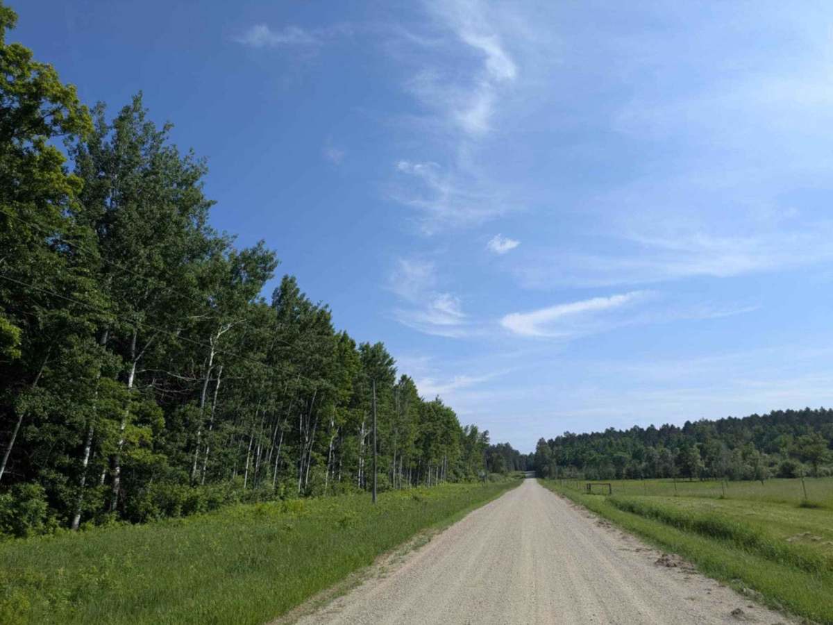
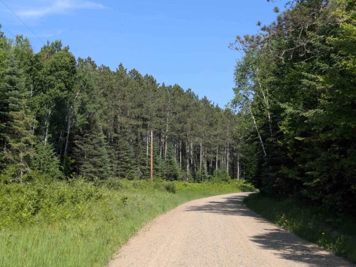
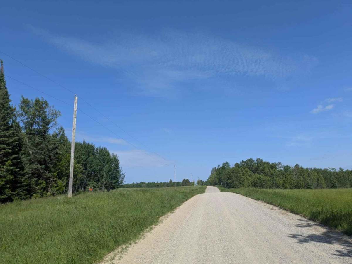
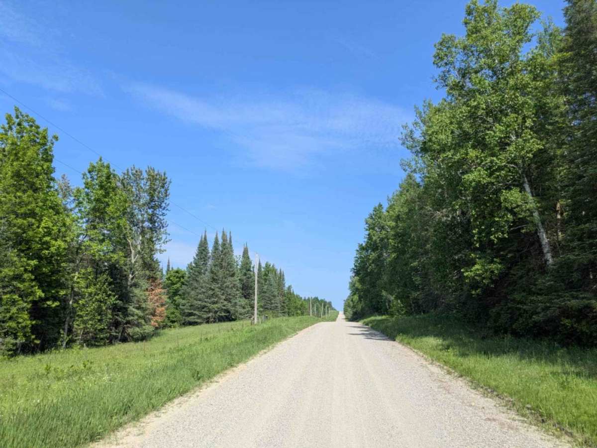
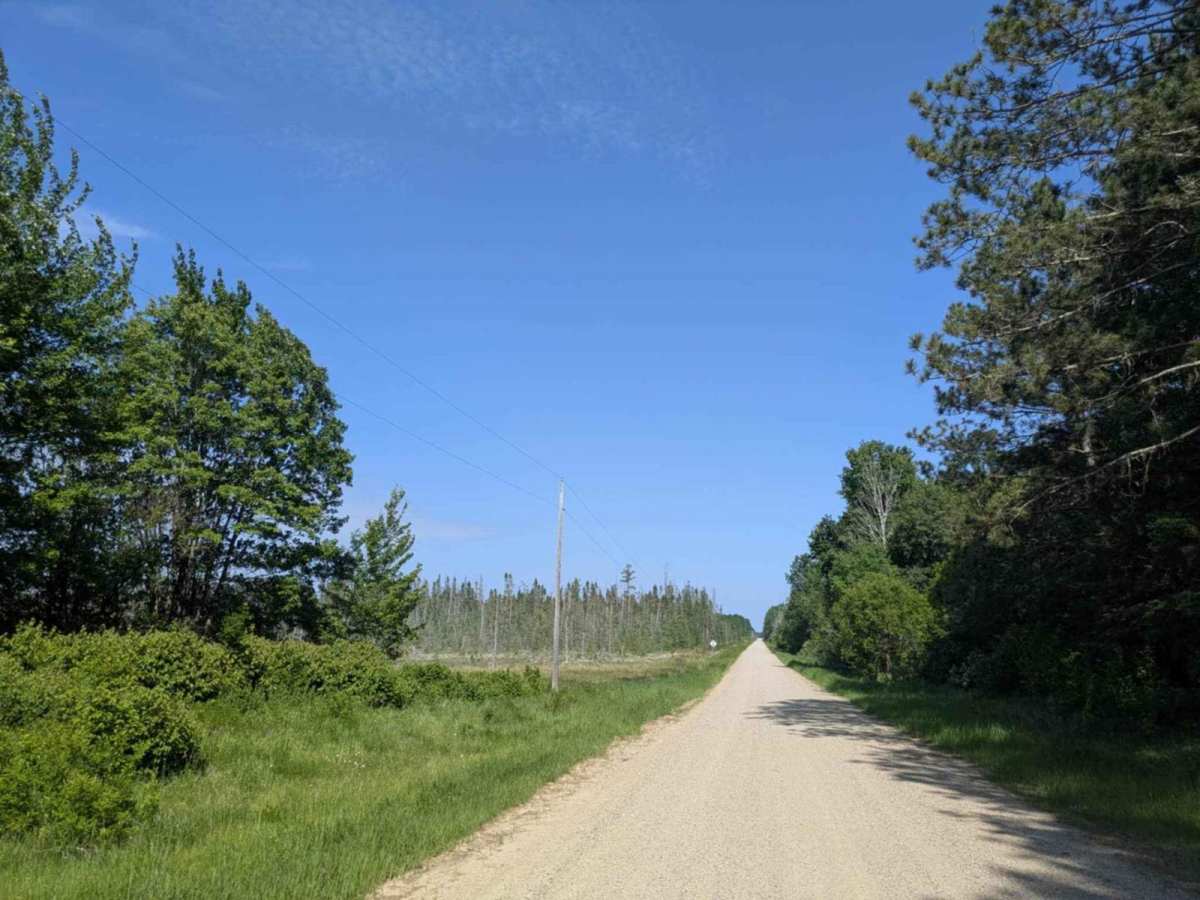
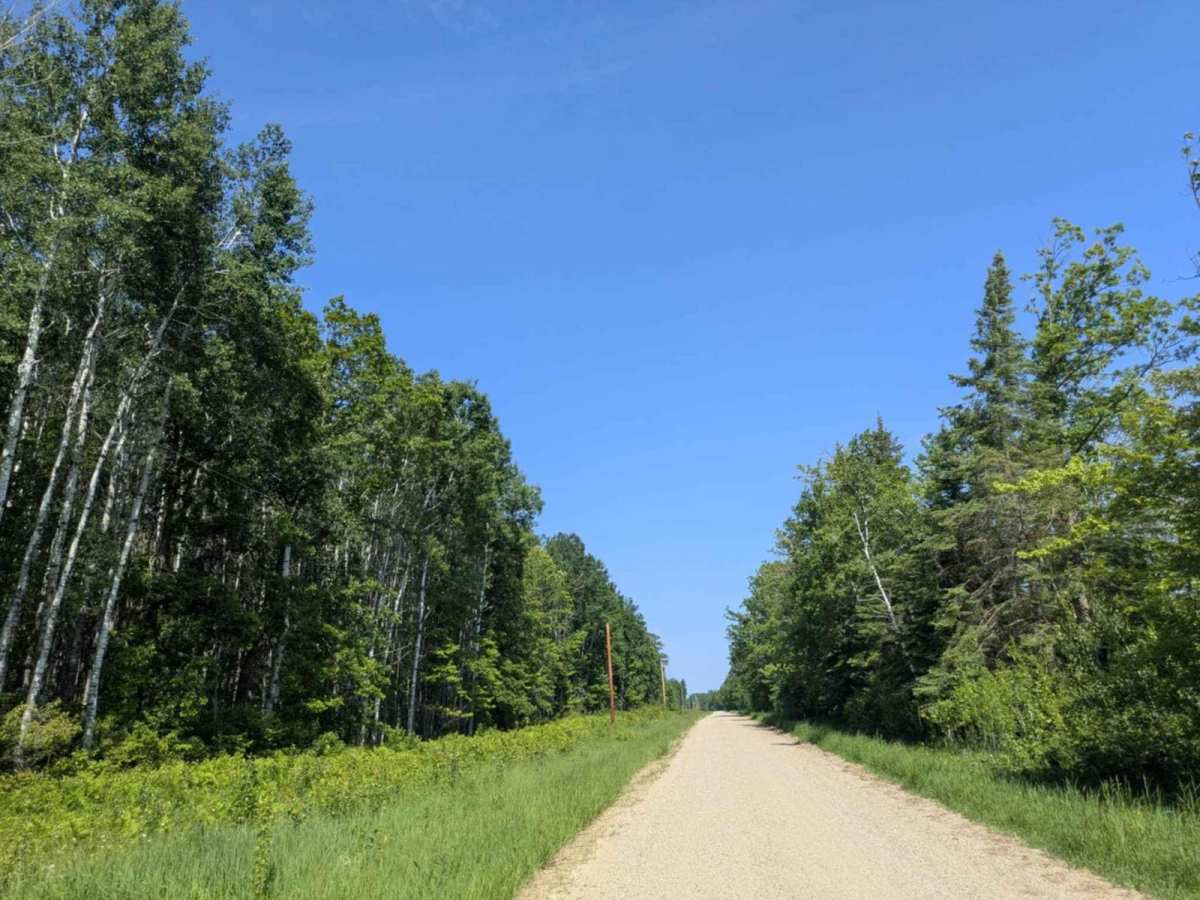
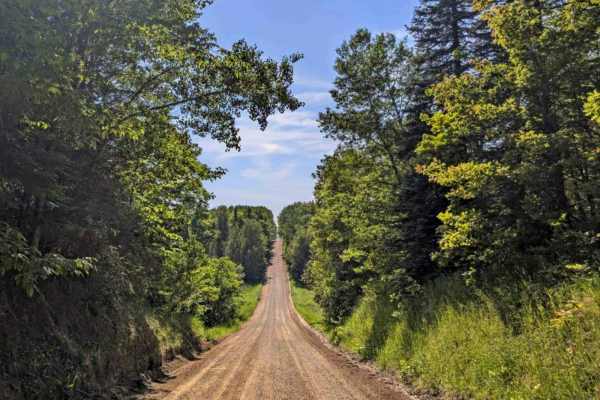
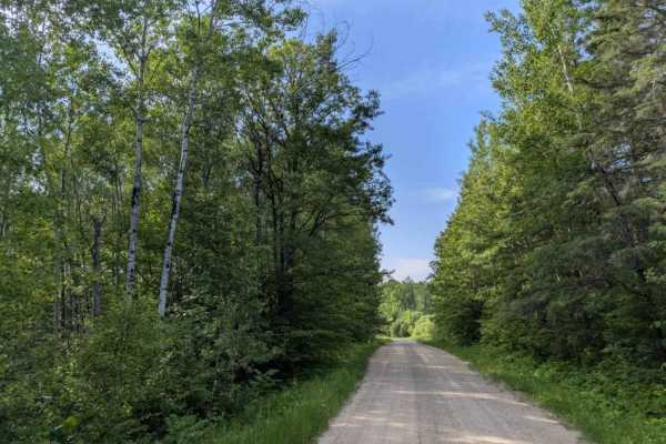
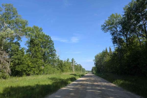
Trail Overview
This trail is well-maintained, wide, and mostly straight, though there are occasional corrugations and potholes along the way. It runs through a landscape of open grazing fields and farmland, offering a peaceful rural setting. Drivers should remain alert for deer, which are known to cross the trail unexpectedly. There are no formal or dispersed campsites available, and the route does not provide amenities such as water or trash disposal. Cell service is limited throughout much of the area, so checking your onX app for coverage ahead of time is recommended.
History
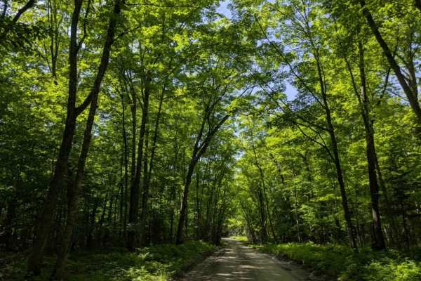
Covering more than 1.6 million acres of glacial lakes, red-pine uplands, and sphagnum bogs, Minnesota's Chippewa National Forest lets motorists experience the North Woods at an unrushed pace. Paved state highways soon yield to a lattice of numbered forest roads, most of them well-graded gravel that thread between kettle ponds and stands of towering white pine, the tree that helped earn the forest its 1908 designation as one of America's first national forests. The forest harbors one of the highest breeding densities of bald eagles in the continental United States, and patient drivers often glimpse loons, black bears, and white-tailed deer as they move from shoreline to clear-cut regrowth and back again