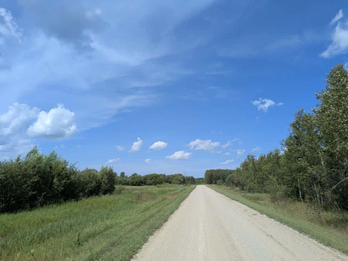
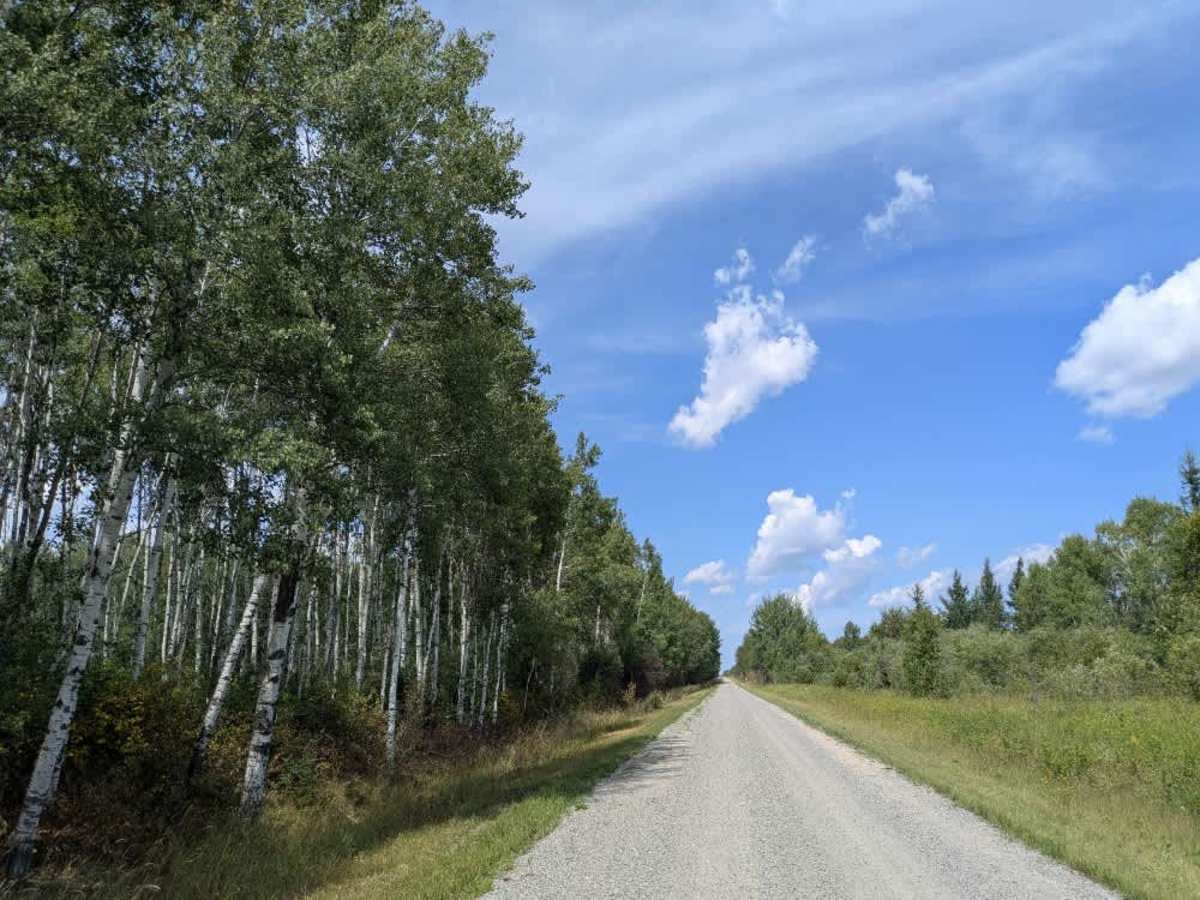
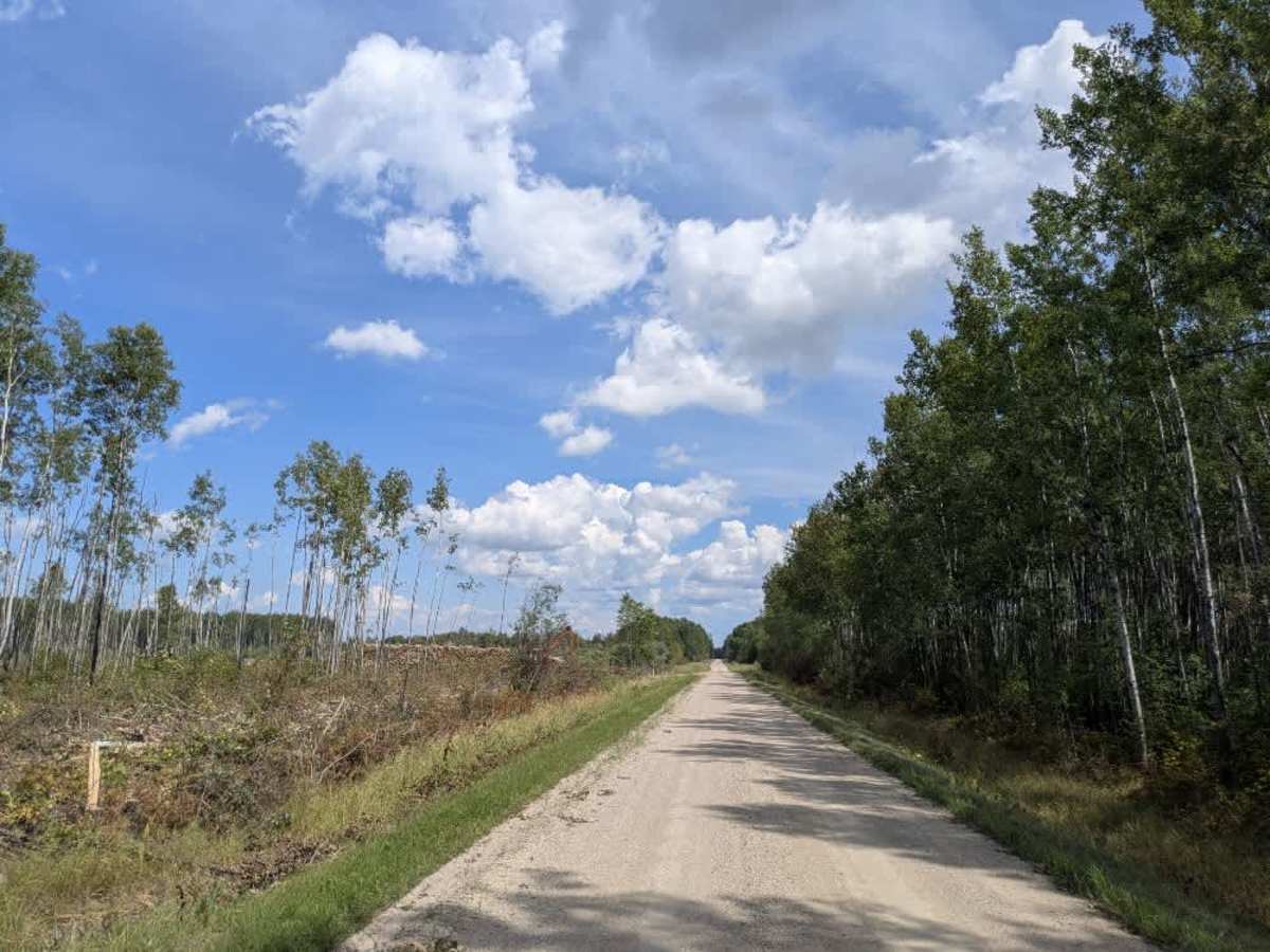
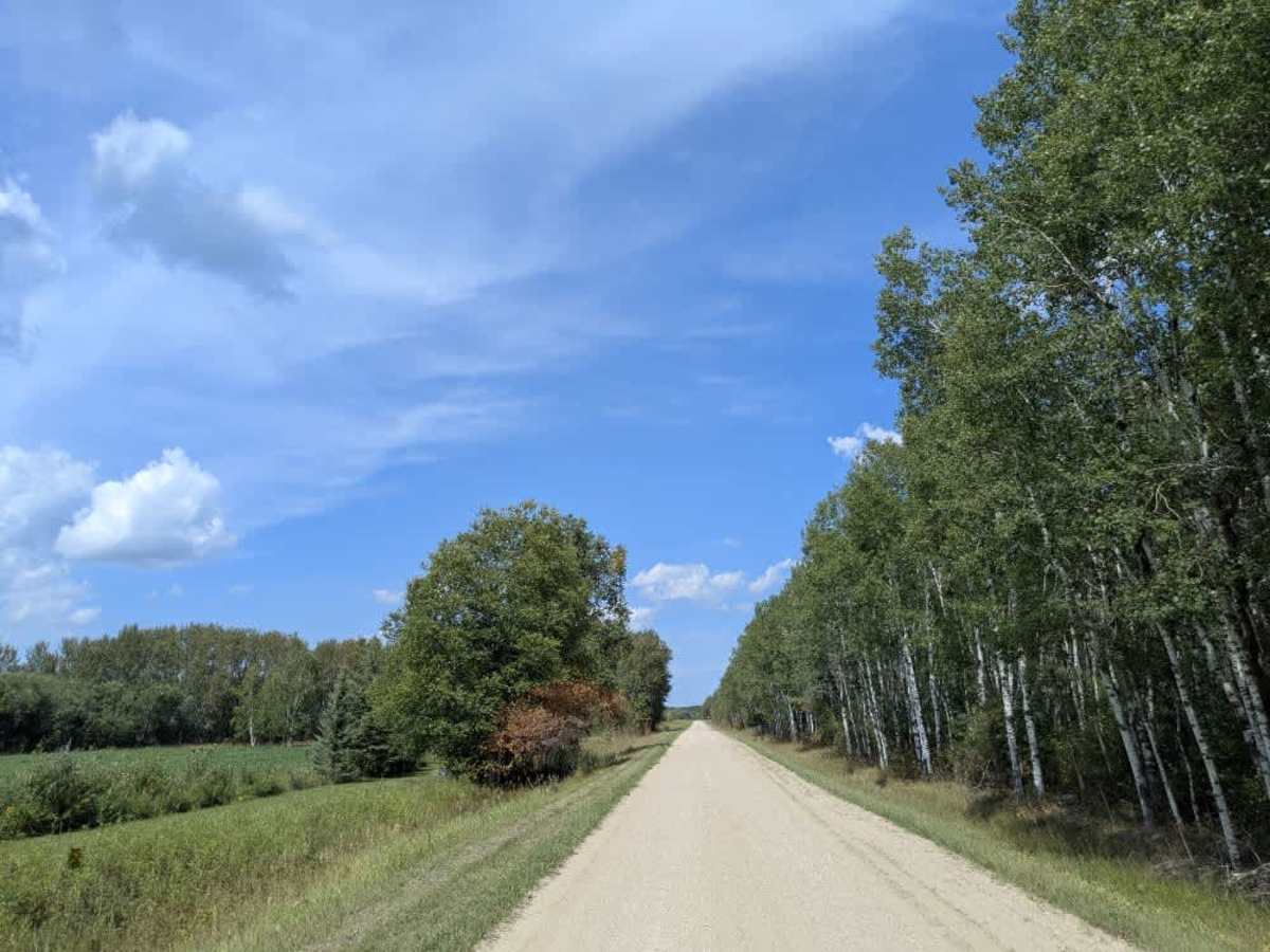
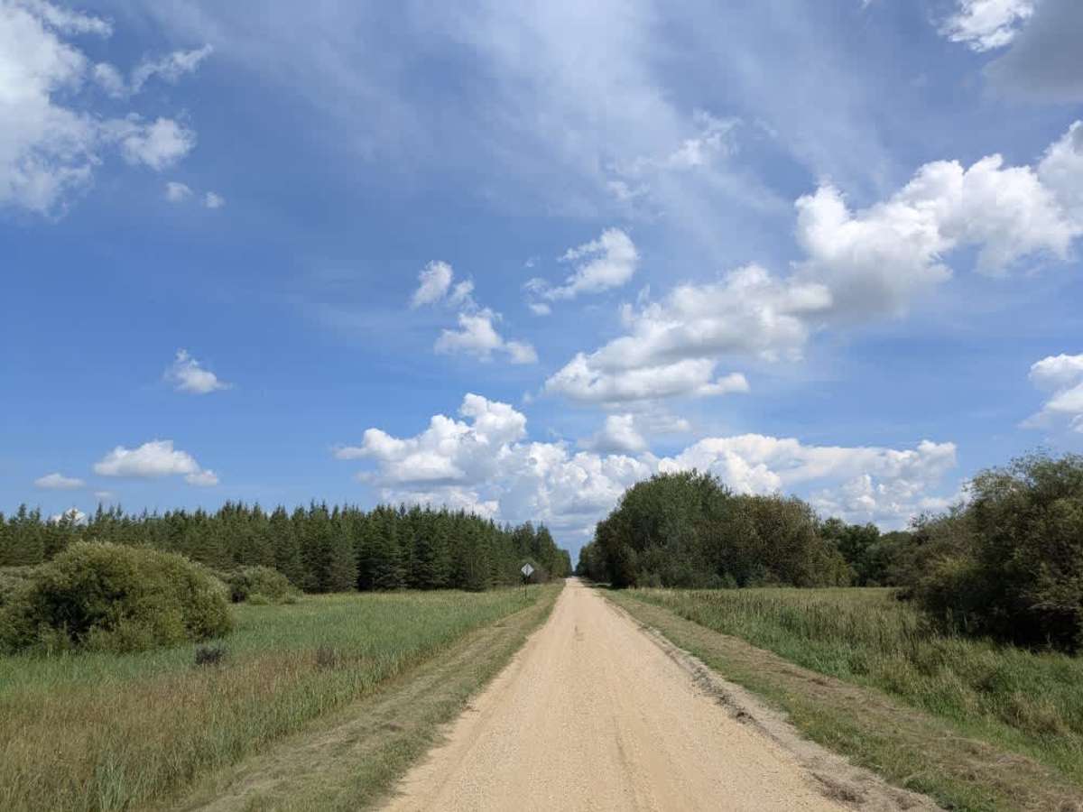
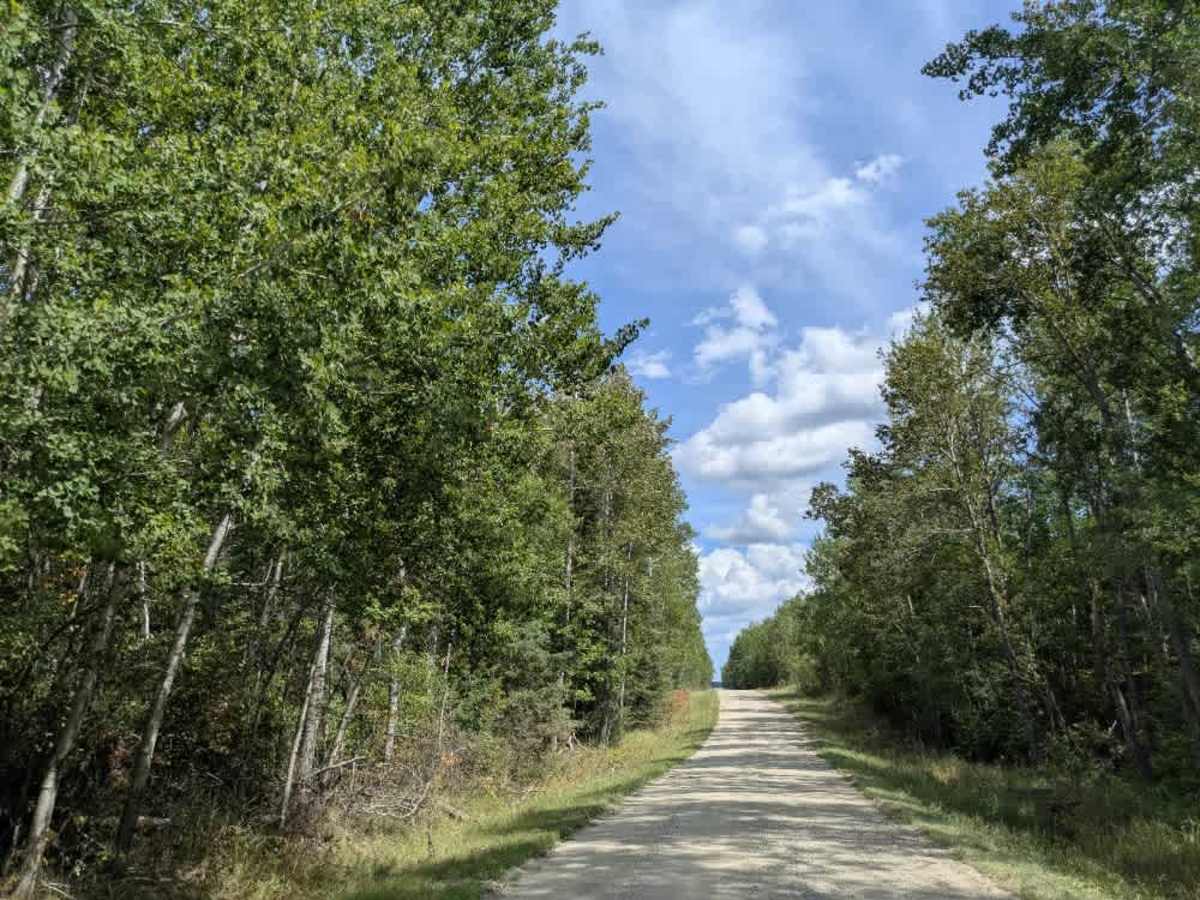
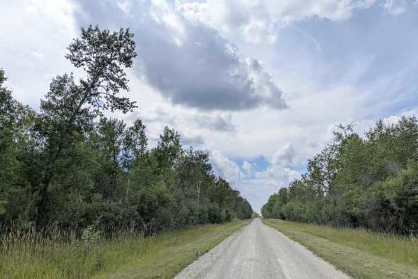
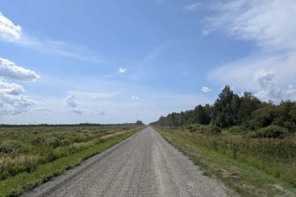
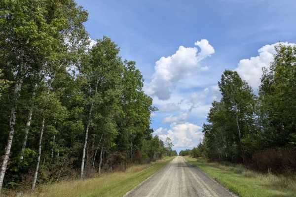
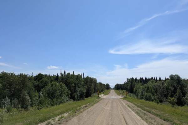
Trail Overview
This trail follows a well-maintained gravel surface that remains relatively smooth, though some sections contain thick gravel that can feel loose and slippery under tires. The trail begins and ends near residential areas and weaves through a varied landscape that includes farmland, logging zones, and clusters of rural homes. Its route features several sharp 90-degree turns, so extra caution is advised, especially in low-visibility or high-speed conditions. Local traffic, including agricultural and logging vehicles, is common, and it’s important to drive with awareness throughout the route. The trail crosses multiple creeks and has several side roads branching off, most of which appear to be agricultural service roads rather than recreational trails. Though the drive is generally pleasant and the road is wide enough for two vehicles, it can be very dusty, particularly in dry weather. The trail ends at private property marked with a sign indicating no hunting or trespassing. A turnaround area is available, but drivers should be cautious, as the ground near the turnaround can be soft and swampy. There are no formal campsites along the trail, and it lacks basic services such as trash disposal or access to drinking water. Cell phone service may be limited or unavailable in some areas.
Difficulty
This forest trail is well-maintained and used daily by residents and adventurers. The route is wide and clear of debris, with established tread and minimal overgrowth, making it ideal for a smooth and scenic drive.