Trail Overview
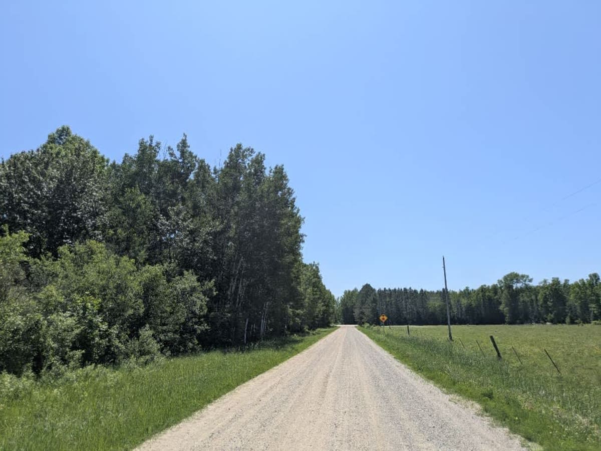
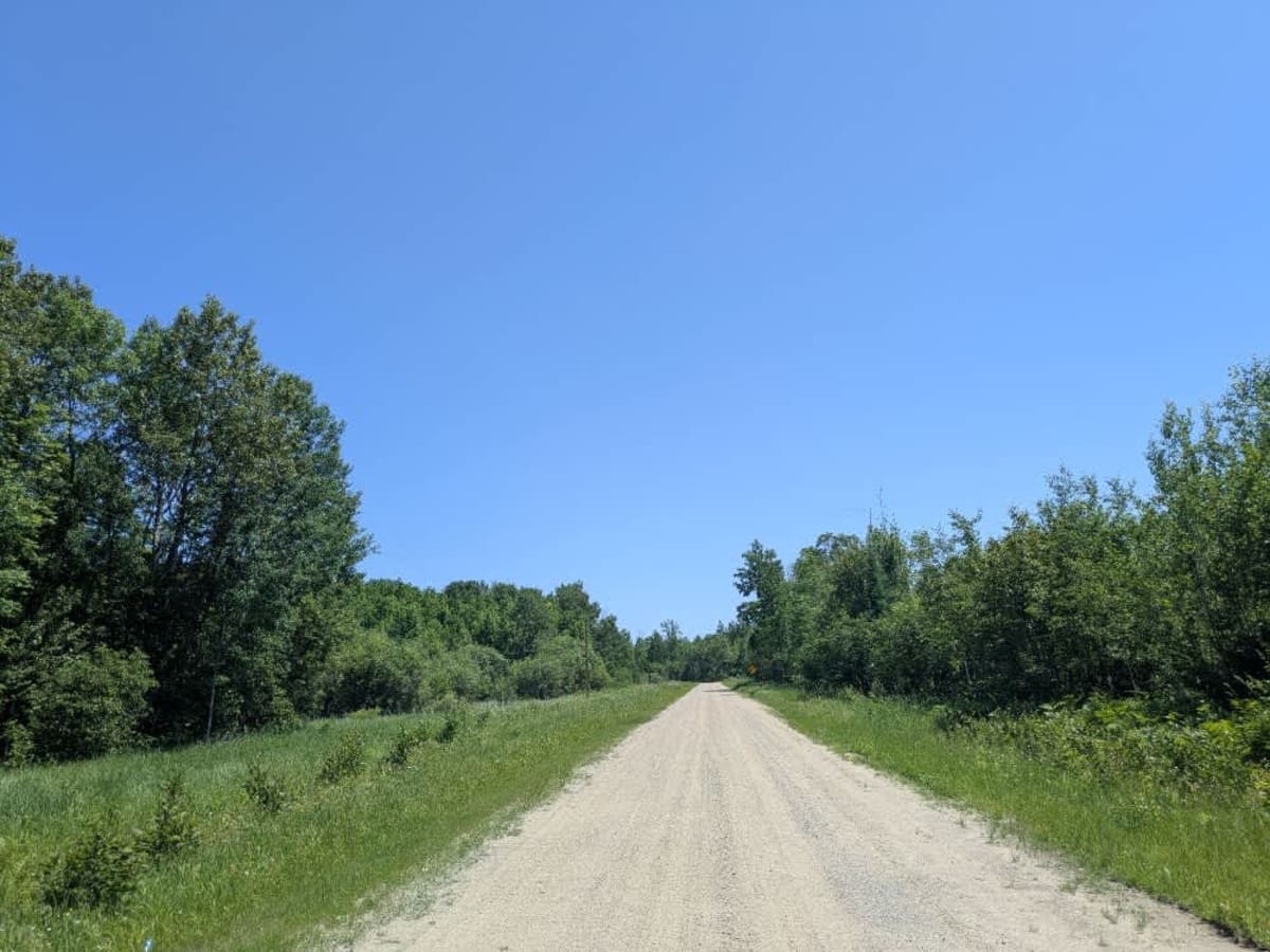
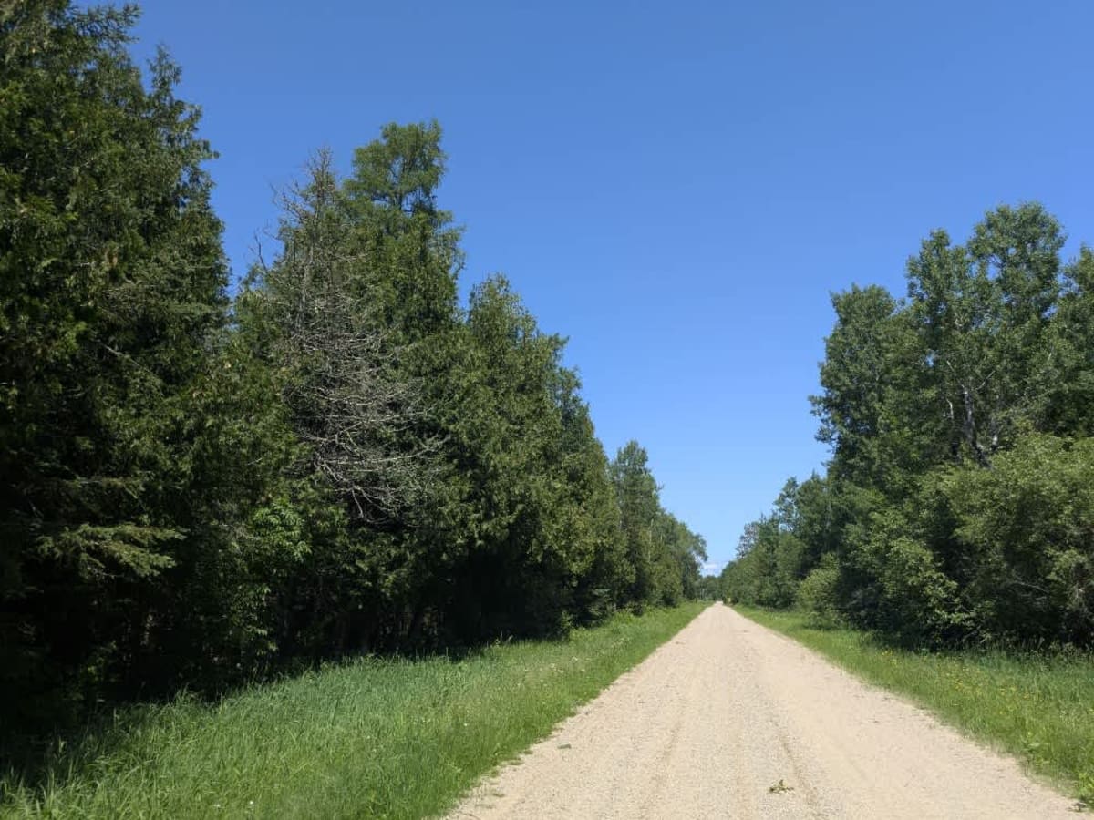
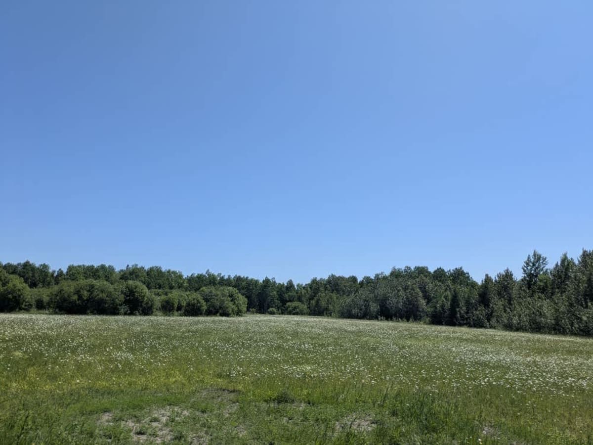
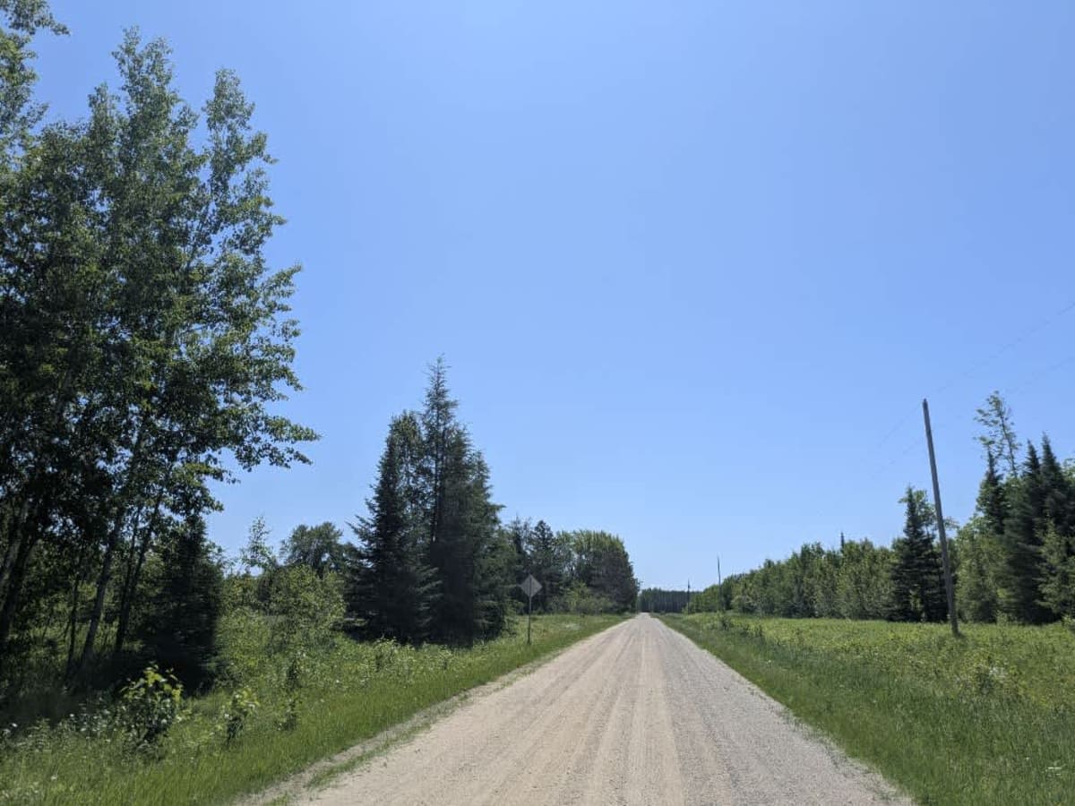
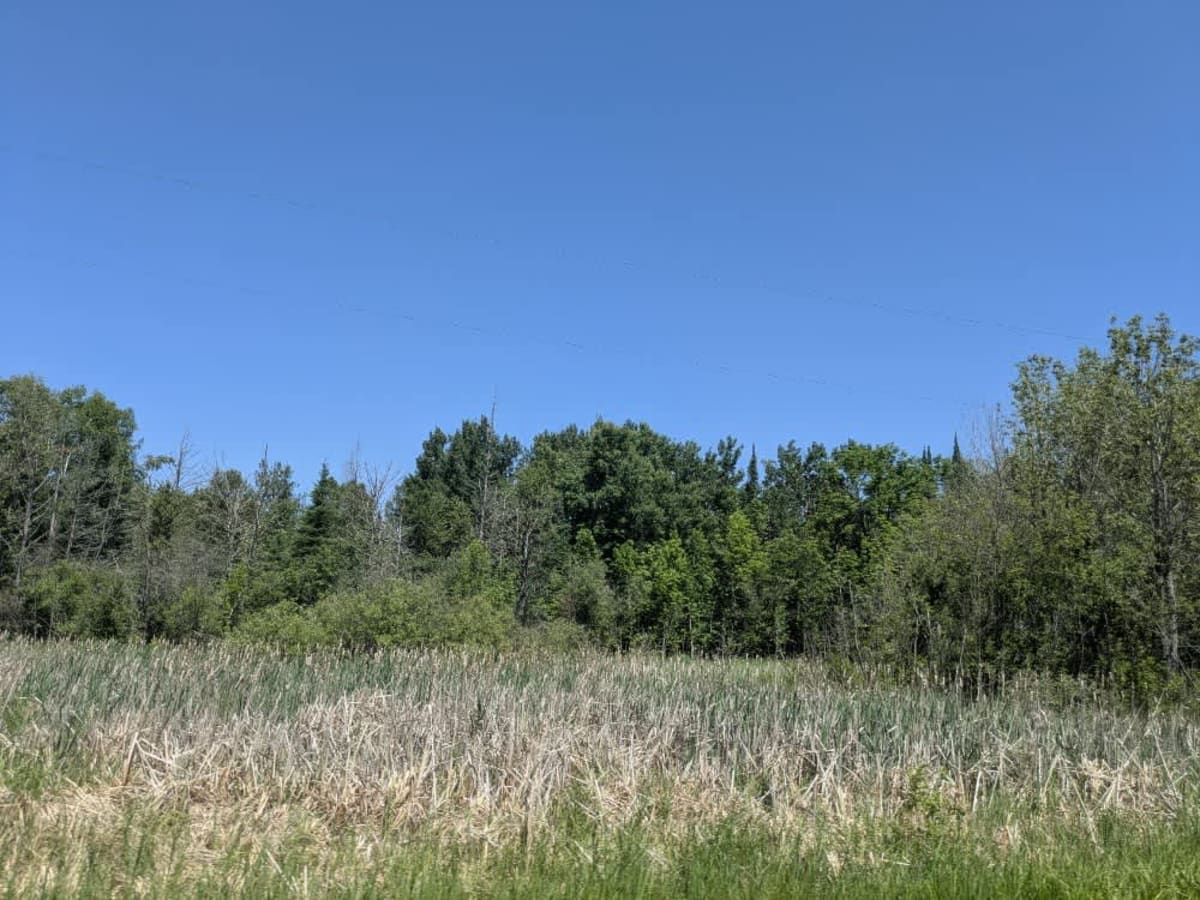
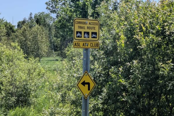
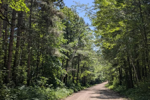
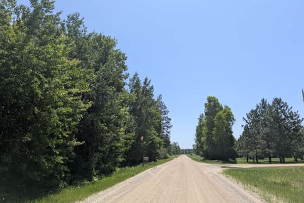
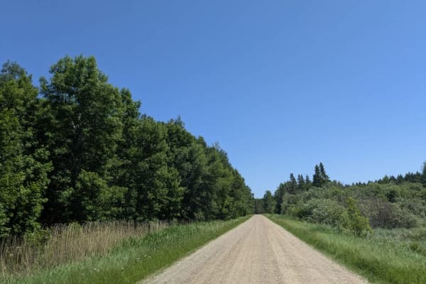
This trail is a wide gravel route that is generally well-maintained and travels through a combination of open fields and forest. It passes several residences along the way, so drivers should be mindful of local traffic and maintain a respectful speed. Partway along the main trail, there is a narrower offshoot that continues past a home and quickly becomes muddy, overgrown, and more difficult to navigate. A sign posted on this section reads "Vehicle traffic not advised," suggesting that it may not be suitable for all vehicles, though those with capable off-road setups might find it an interesting side route to explore. The main trail does not feature any formal or dispersed camping areas and lacks basic services such as trash bins or potable water. Cell coverage in the area may be limited or unreliable.
History
Covering more than 1.6 million acres of glacial lakes, red-pine uplands, and sphagnum bogs, Minnesota's Chippewa National Forest lets motorists experience the North Woods at an unrushed pace. Paved state highways soon yield to a lattice of numbered forest roads, most of them well-graded gravel that thread between kettle ponds and stands of towering white pine, the tree that helped earn the forest its 1908 designation as one of America's first national forests. The forest harbors one of the highest breeding densities of bald eagles in the continental United States, and patient drivers often glimpse loons, black bears, and white-tailed deer as they move from shoreline to clear-cut regrowth and back again.