Trail Overview
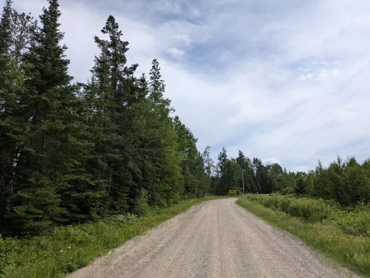
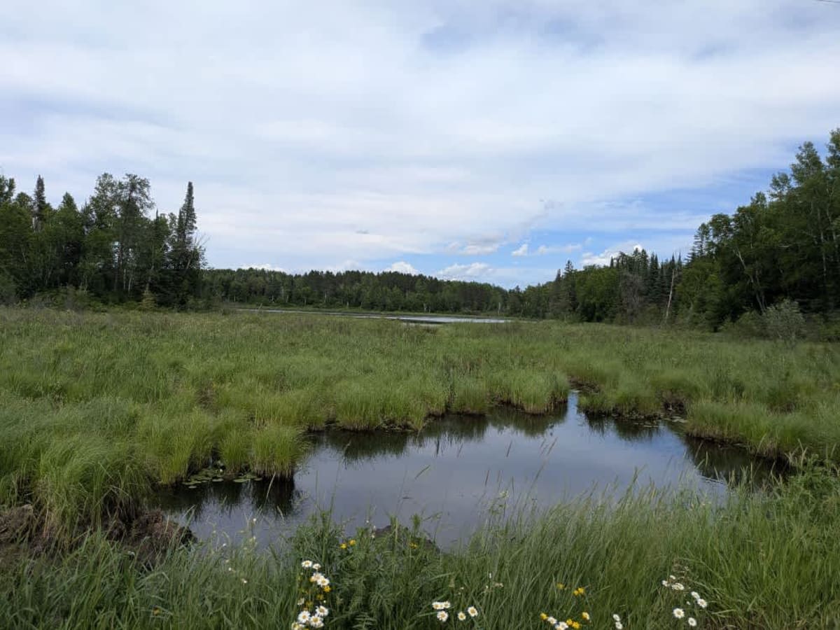
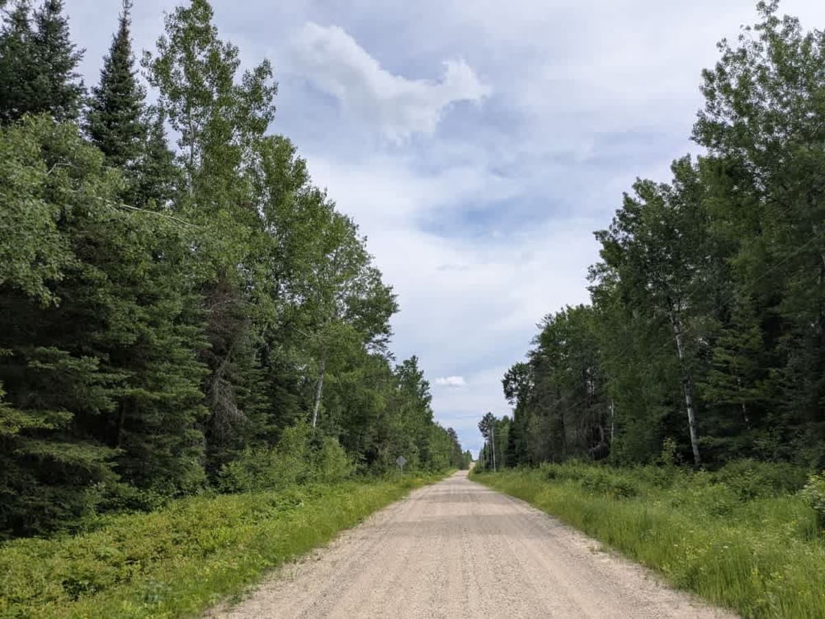
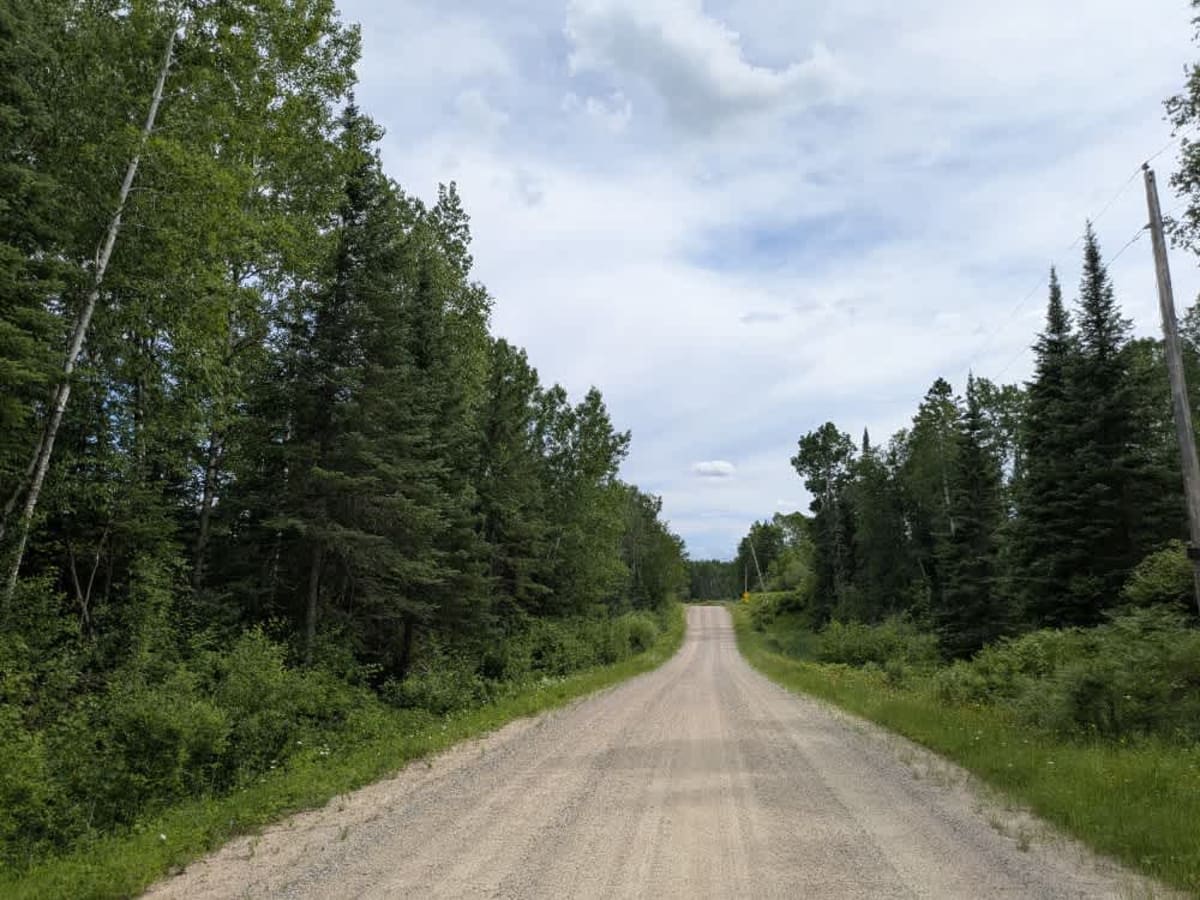
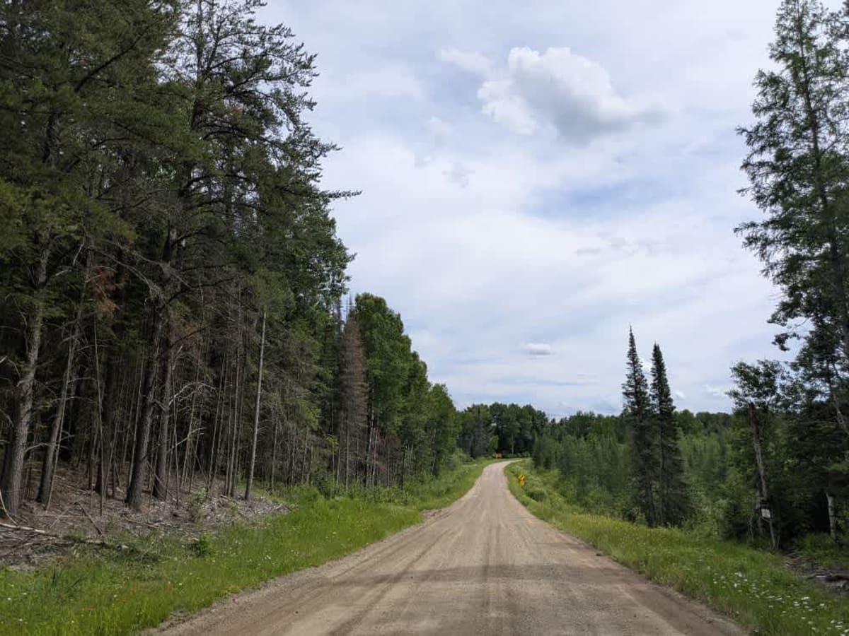
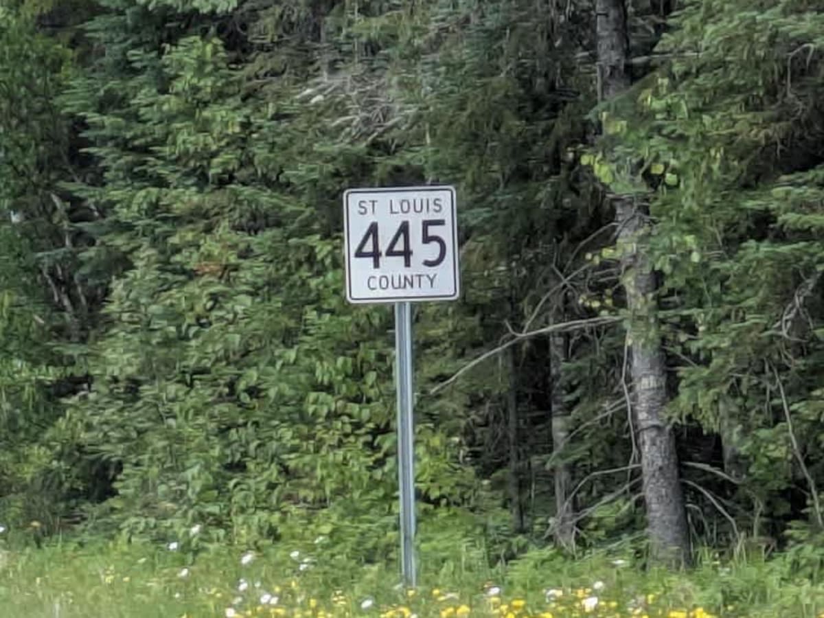
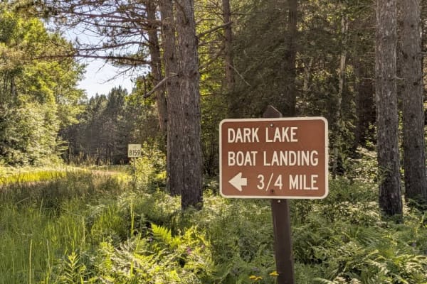
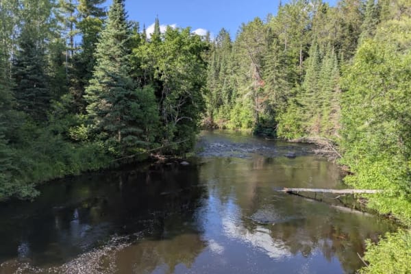
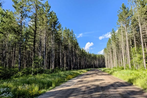
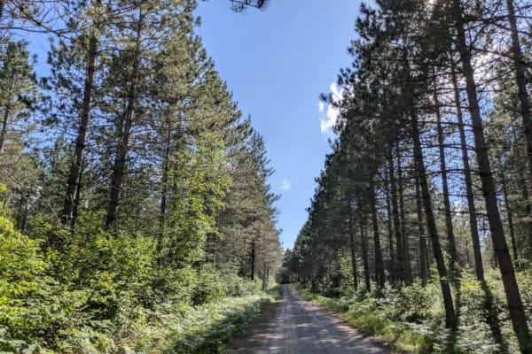
This trail is a wide, well-graded gravel road that winds through forested terrain and passes a few private residences along the way, so it's important to watch for local traffic. A small bridge provides a crossing over a creek as the trail continues toward a large lake. Throughout the route, several side trails split off into the surrounding woods. Some of these appear to be open for travel, while others lead onto private land and are marked or blocked accordingly. Many of the side trails are narrow and overgrown, making them more suitable for smaller vehicles or best avoided altogether. While the area feels remote and could appear suitable for camping, it's likely that there are no legal opportunities for dispersed or formal camping along the trail. The route lacks basic amenities such as trash disposal and potable water, and cell service may be intermittent or unavailable in certain sections.
History
Superior National Forest was established in 1909 by President Theodore Roosevelt to protect the region's watersheds and natural resources after years of heavy logging and mining. The area has long been home to the Ojibwe people, who continue to maintain cultural ties to the land. In 1978, the Boundary Waters Canoe Area Wilderness within the forest was given added protection, making it one of the most visited wilderness areas in the U.S. today.