Trail Overview
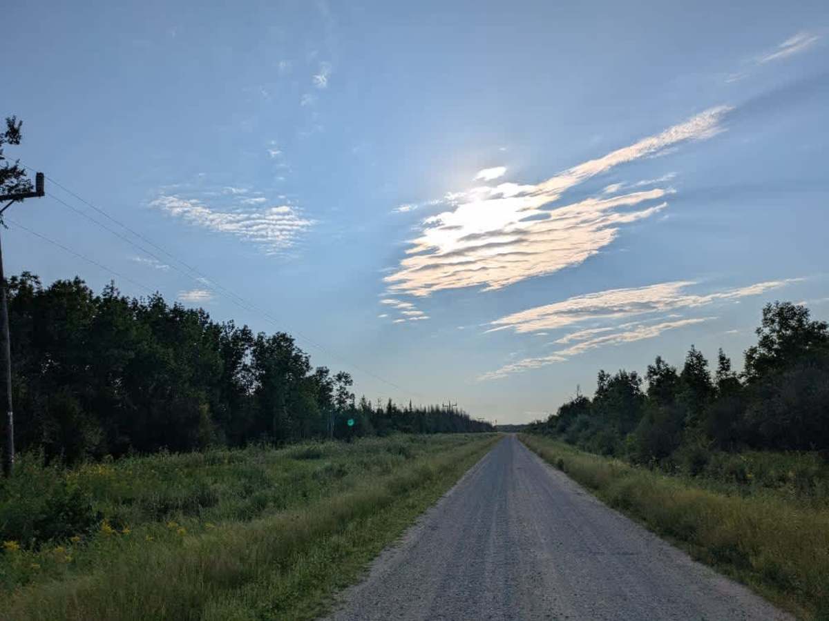
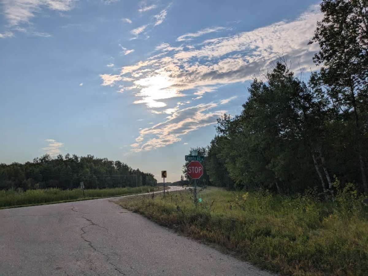
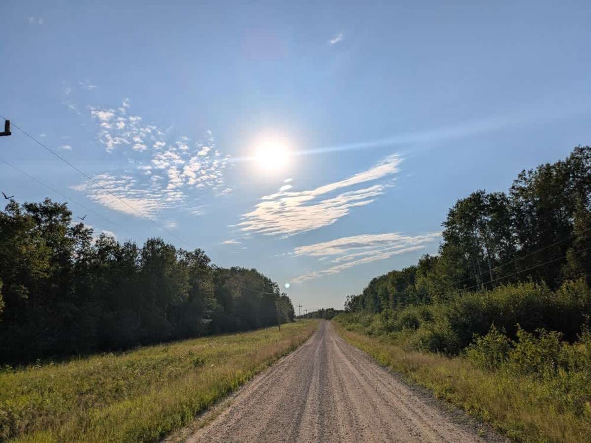
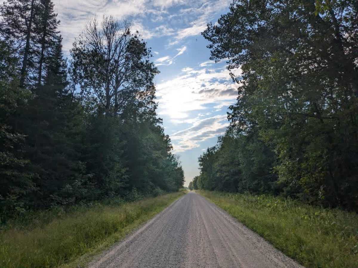
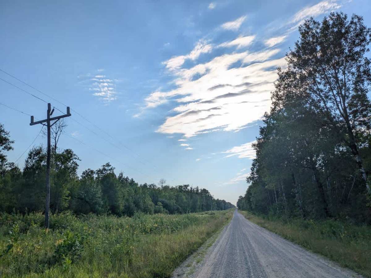
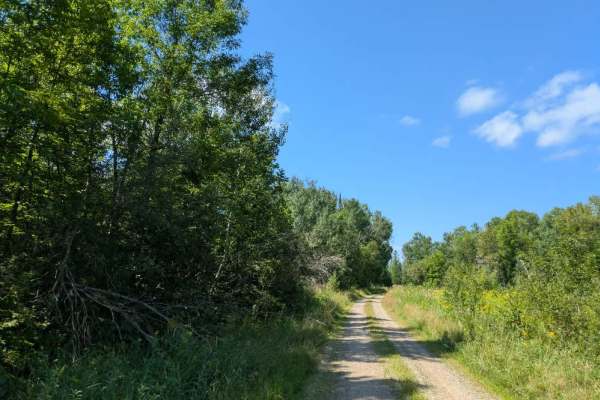
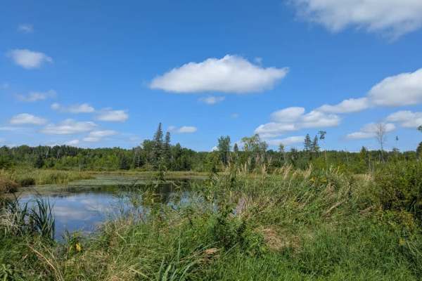
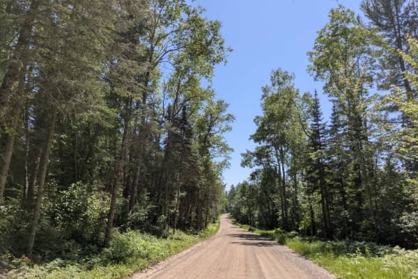
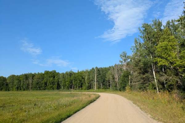
This trail is long and wide, beginning and ending at County 63, which is a paved road. It is a well-maintained two-vehicle route that offers a leisurely drive through a mix of forested areas and open fields. Residences are scattered along parts of the trail, so drivers should be mindful of local traffic. Deer are also commonly seen on the road, and extra caution is needed, especially during dusk and early morning hours when wildlife is most active. Numerous smaller trails branch off from the main route, though most of them are heavily overgrown and not practical for regular travel. The main track itself remains in good condition, making it straightforward for vehicles of varying capabilities. The alternating landscape of woods and fields gives the trail a bit of variety while keeping it accessible and relatively low in difficulty. Overall, this is a pleasant and straightforward forest and field route that serves as a loop back to County 63, with a few opportunities for side exploration. There are no formal camping opportunities along this trail, and it does not provide amenities such as trash disposal or potable water. Cell phone coverage may be unreliable in certain areas.
Difficulty
This forest trail is well-maintained and used daily by residents and adventurers. The route is wide and clear of debris, with established tread and minimal overgrowth, making it ideal for a smooth and scenic drive.