Trail Overview
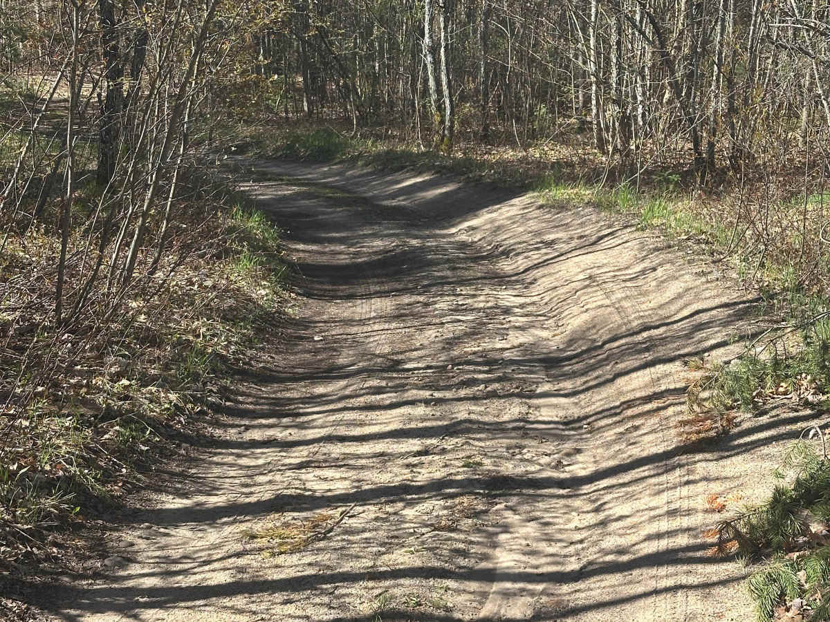
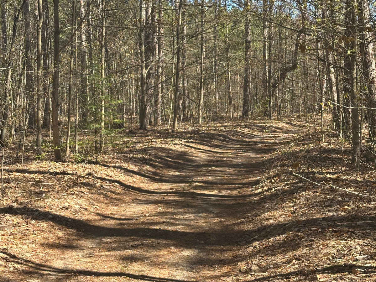
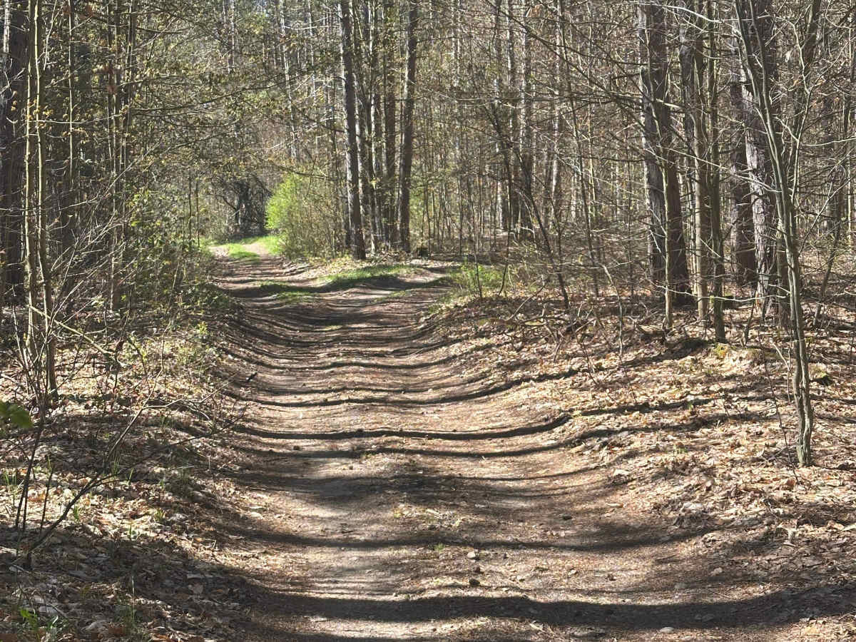
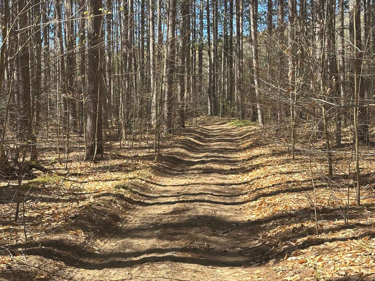
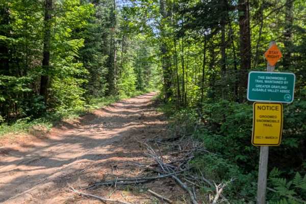
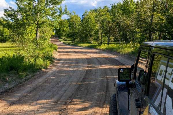
West May Lake Loop is a narrow forest two-track that combines quiet woodland driving with a scenic stretch alongside the Au Sable River, making it an enjoyable route for offroaders looking to experience some of Northern Michigan's most picturesque landscapes. Located within the Grayling Forest Management Unit, the trail follows a mix of dirt, gravel, and sand surfaces as it weaves through stands of pine and hardwood forest. Although primarily a single-lane route, several pull-off areas and wider sections allow oncoming vehicles to pass. The loop can be traveled in either direction, with access from West May Lake Road.
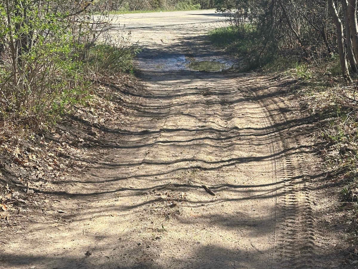
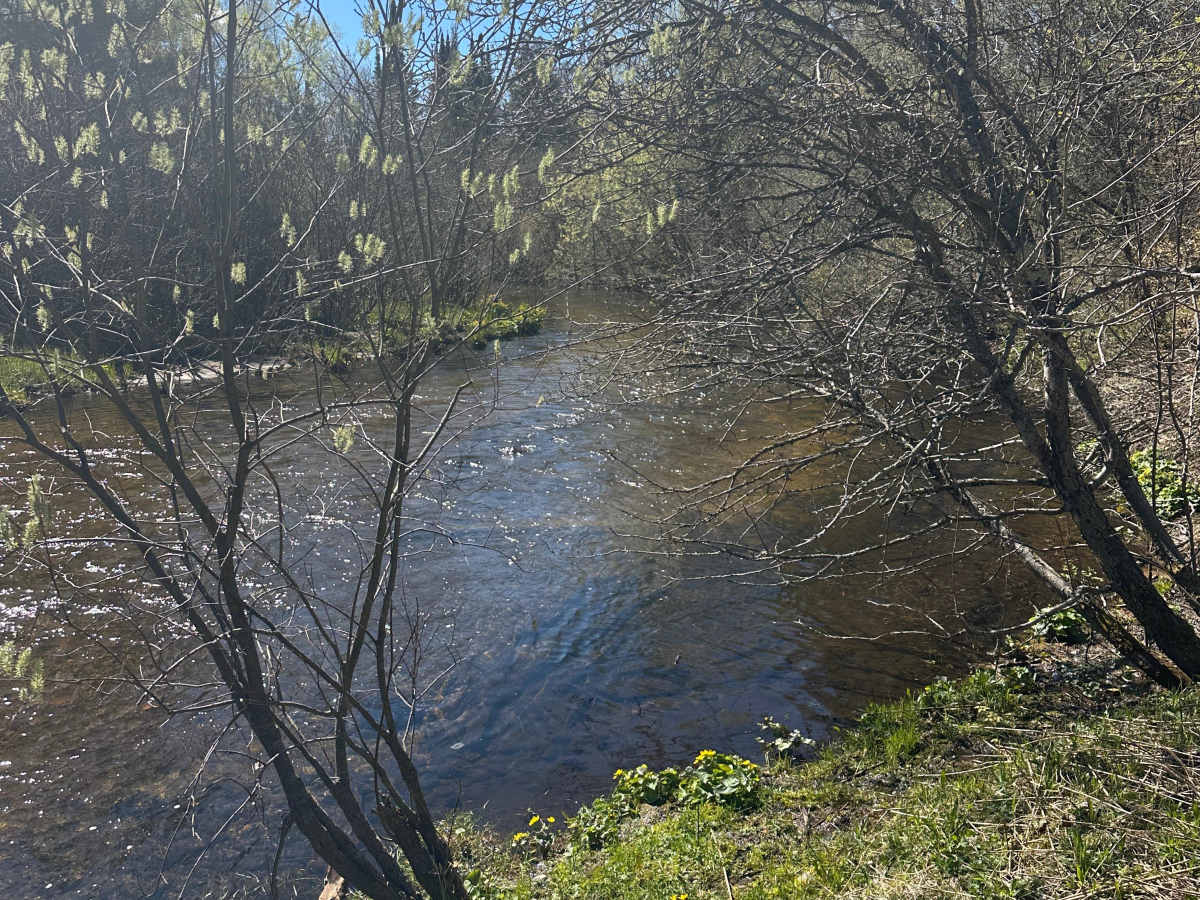
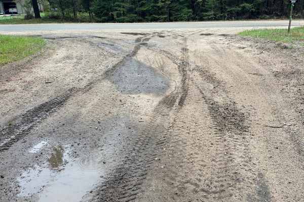
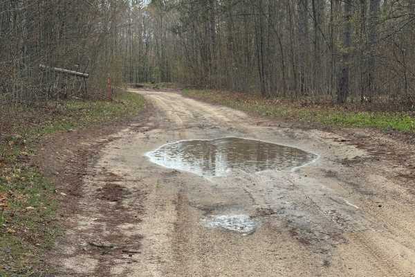
Trail conditions vary throughout the route, with a combination of firm dirt, loose sand, and occasional muddy sections that can become more pronounced after wet weather. Stock high-clearance SUVs and 4x4 vehicles will have little difficulty under normal conditions, while drivers should use extra caution in softer or wetter areas. One of the route's highlights is its proximity to the Au Sable River, where anglers can stop to cast a line or simply enjoy the river scenery before continuing through the surrounding forest. Stay on designated routes, respect seasonal conditions, and follow Tread Lightly principles to help protect the trail system and the natural resources that make this area unique.