Trail Overview
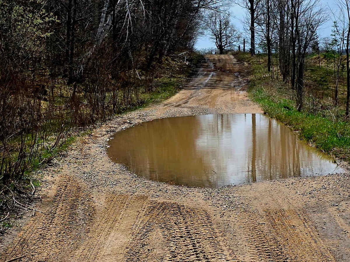
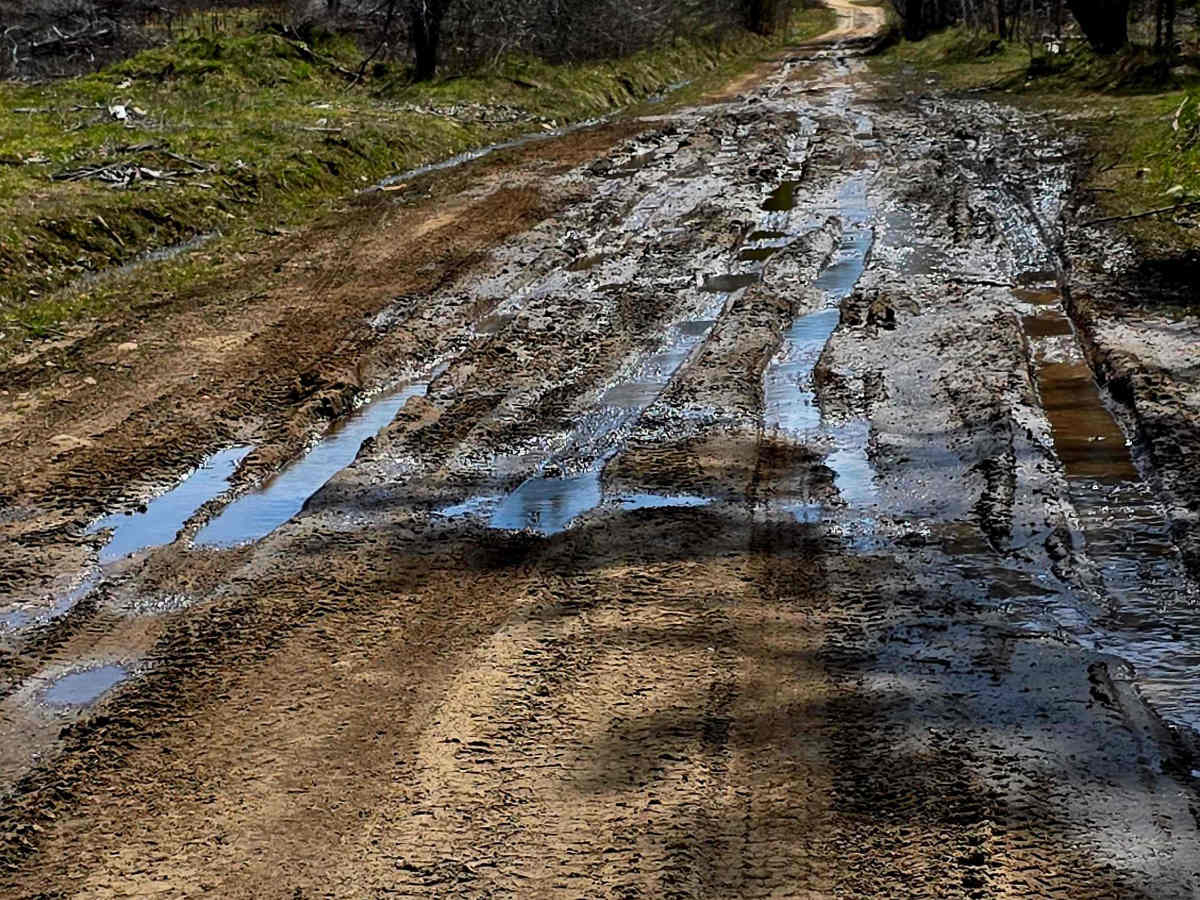
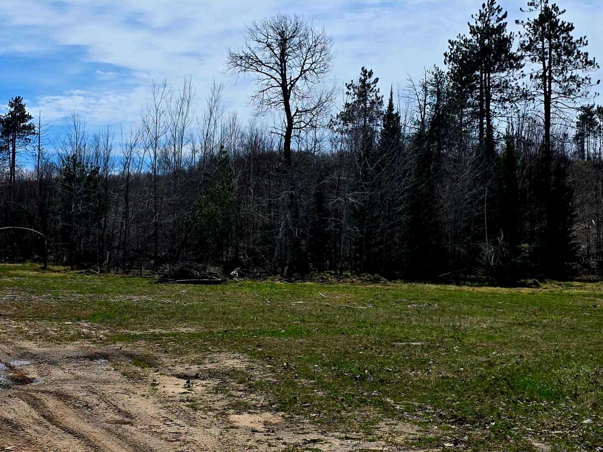
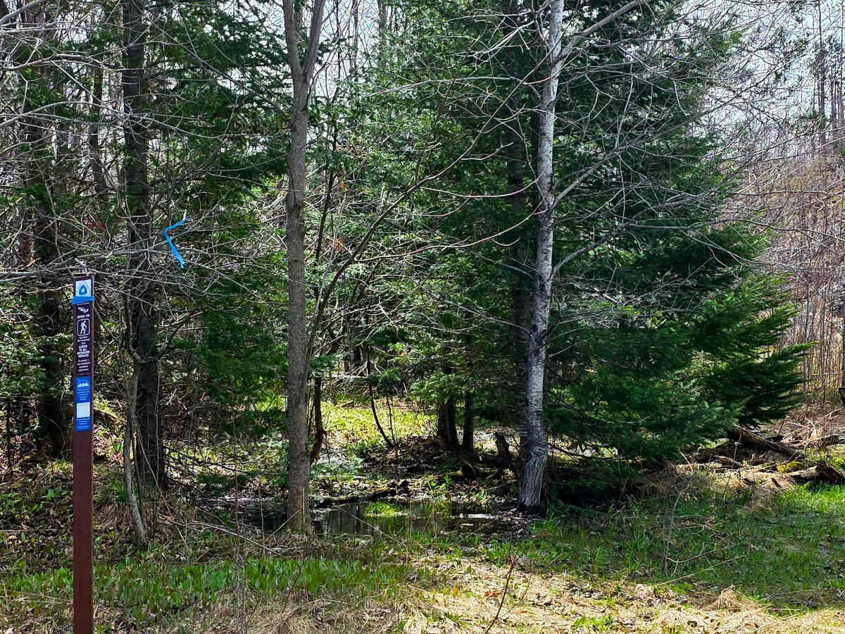
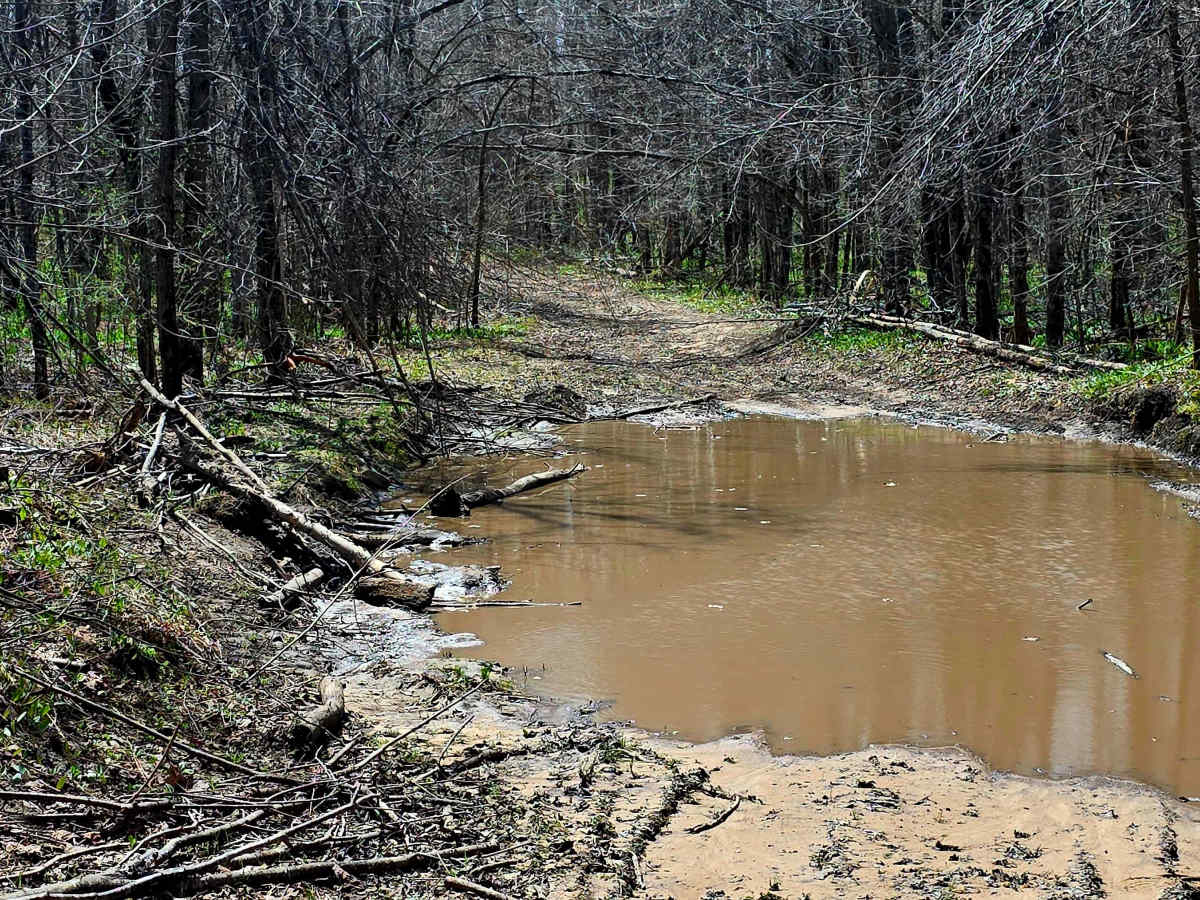
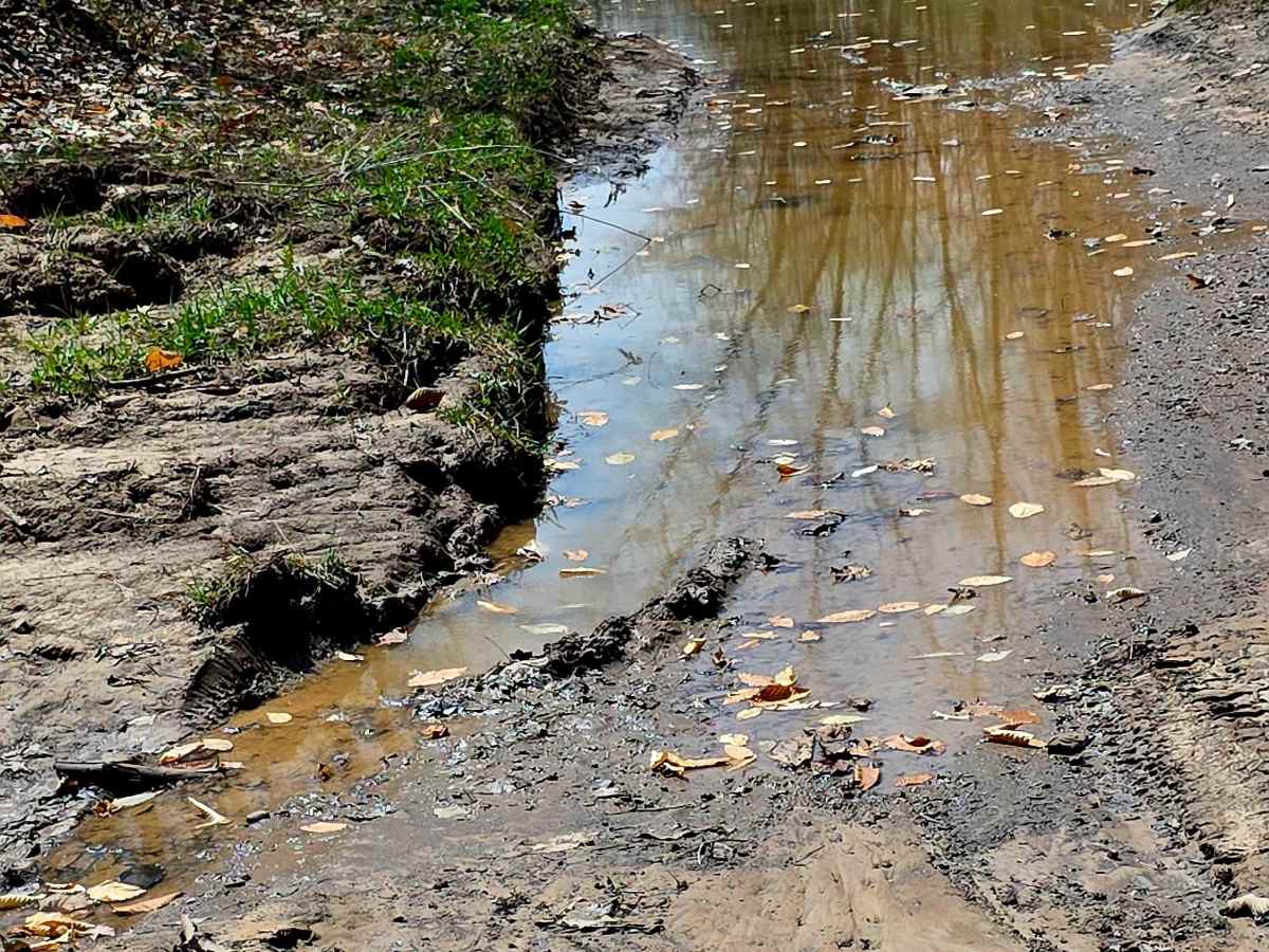
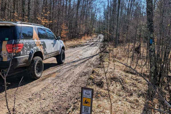
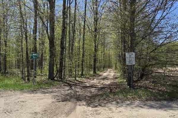
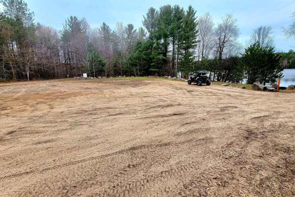
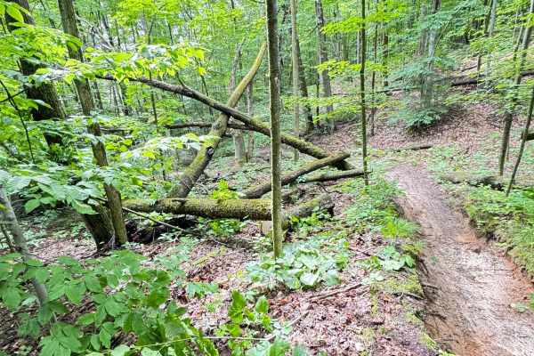
This is a point-to-point trail between Wolverine and Petoskey, Michigan. About 15 miles west of exit 301 off of I-75, there is a Trailhead Parking area near Weber Lake on Springvale Road. Just west of Wolverine Road, past Weber Lake Campground. Parking is centrally located near lots of awesome trails in the area, including this one. The trail is mostly dirt, sand, and some compact gravel, and is wide enough that if oncoming vehicles are coming, you can move over. It can have a lot of standing water, mud puddles mixed in, especially after a rain, with some reaching around 20 inches deep. In one small area near the south end of the trail, there is a small hill downgrade where the trail is only one vehicle wide. There are some low-hanging branches here and there also. The trail on the north end has a beautiful farm, the North Country Hiking Trail crosses over at about .5-mile mark with open field parking, and at the south end, where it ends onto Springvale Road. There is a North Country Trailhead. There is room to park at the mouth of the trail on the south end if you want to hike a bit.
Difficulty
The trail is mostly flat with dirt, sand, and mud after a rain. Water is generally not too deep, and if it has not rained in a while will be easier to traverse, but some mud stays for a long time, with some ruts remaining.