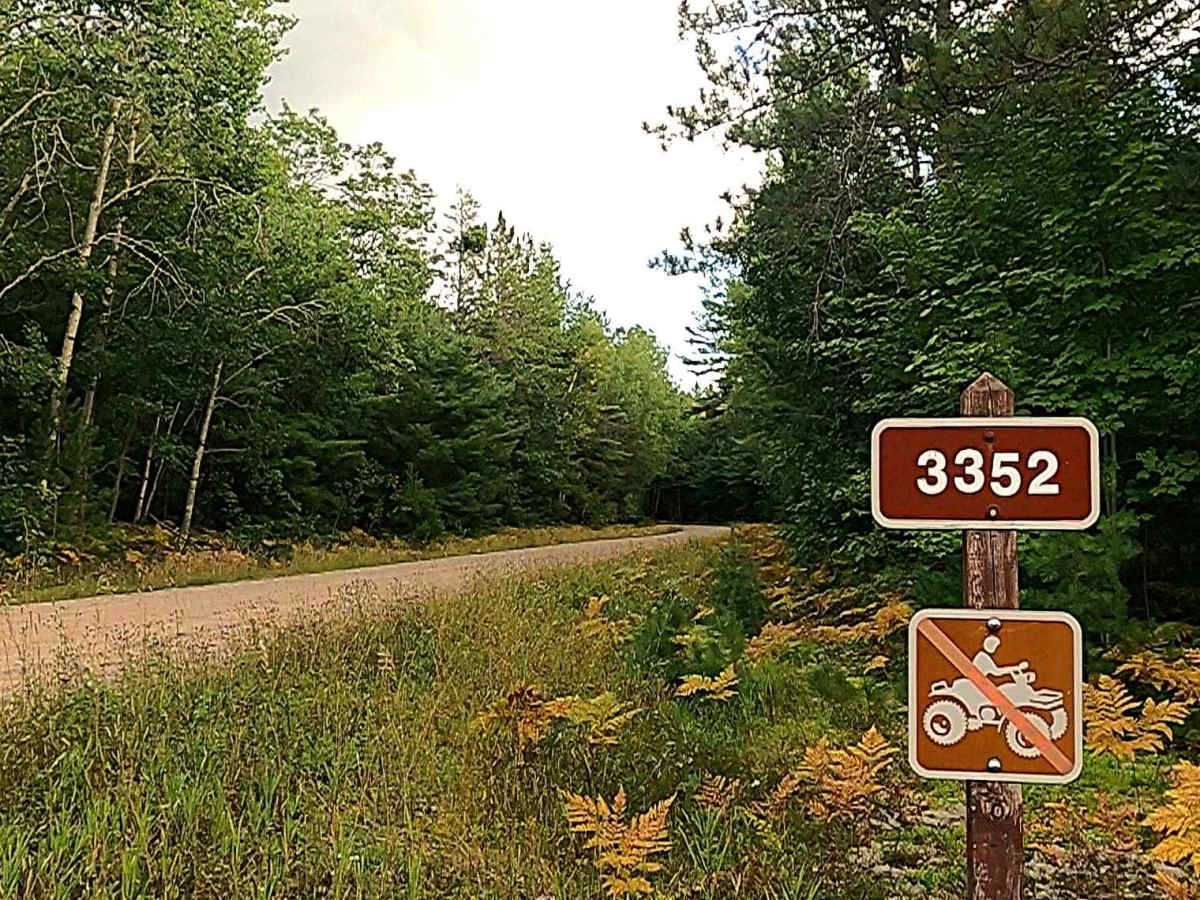
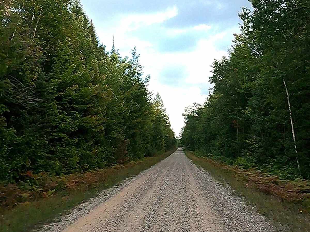
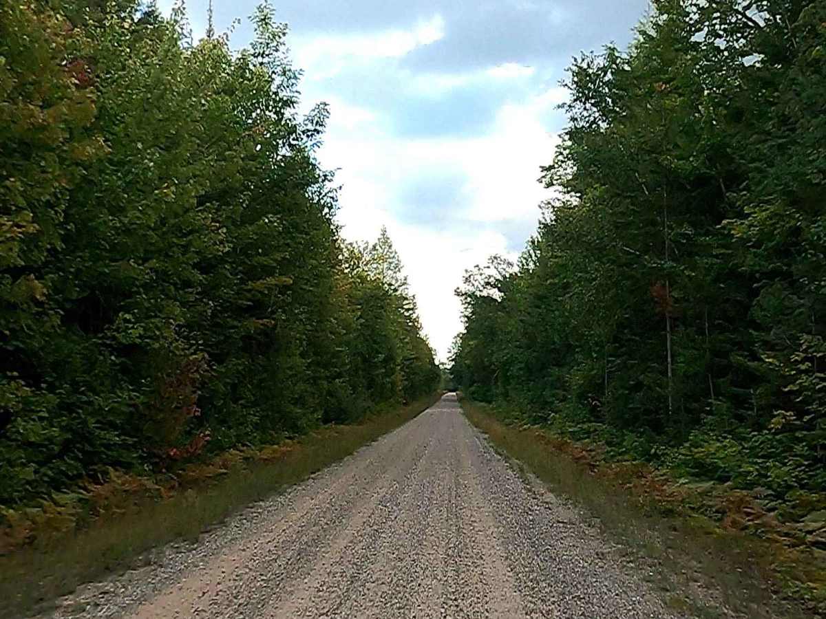
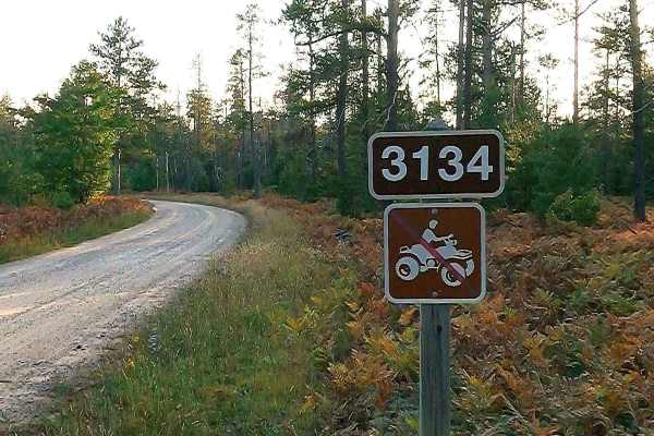
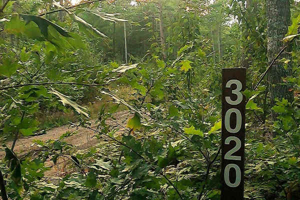
Trail Overview
Federal Forest Service Road 3352, also known as Waishkey River Trail, is a federally owned/ locally maintained, Level-2/ Level-3 forest road with a surface composition of dirt, sand, gravel, and native material. This route is currently open and in fair condition; it is not a DNR road (ORV use is subject to local government regulations) and connects Michigan Route 28 to FS 3131- Sullivan. Description created on September 11, 2025.
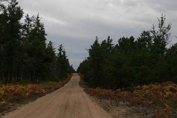
Difficulty
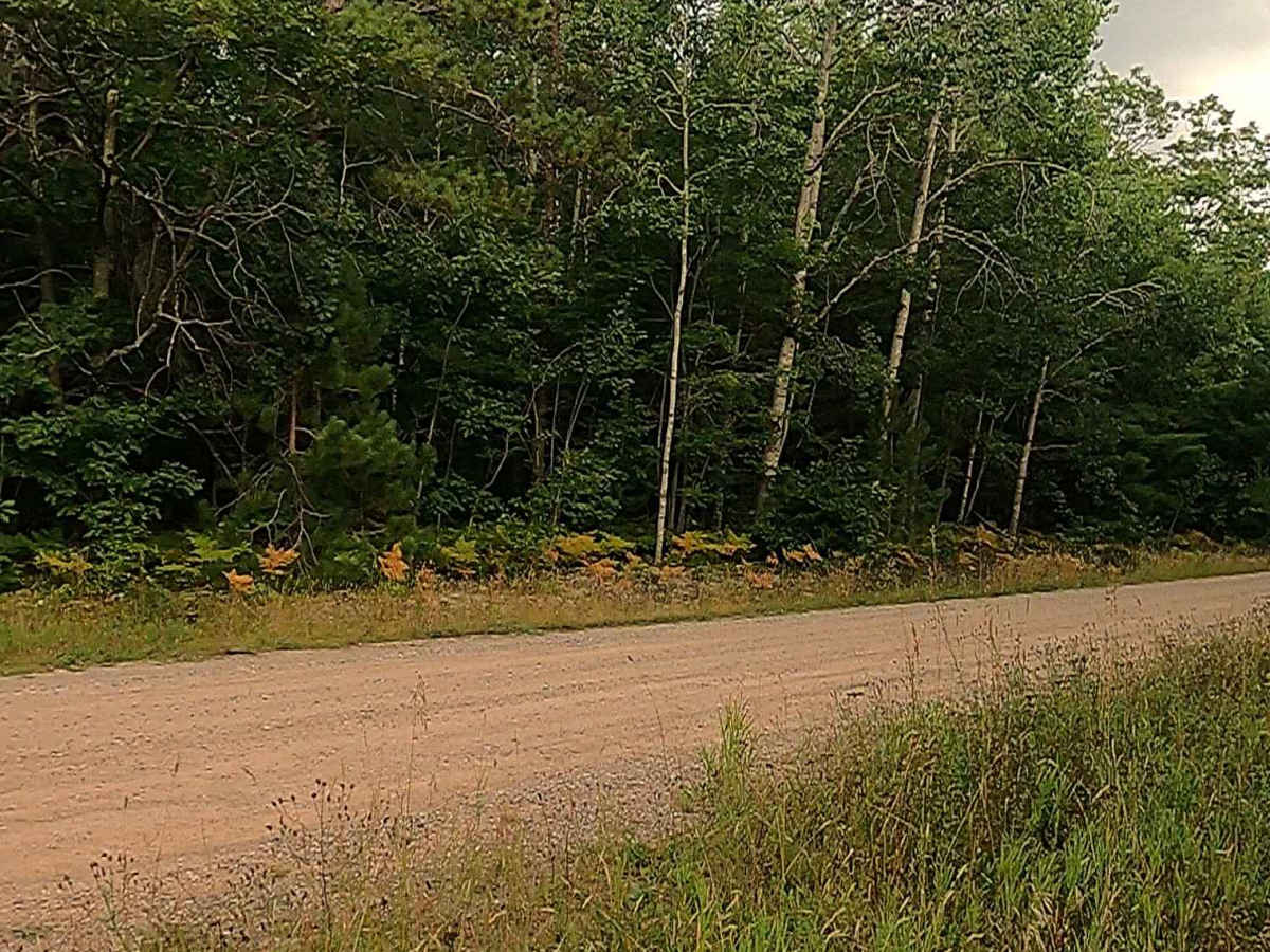
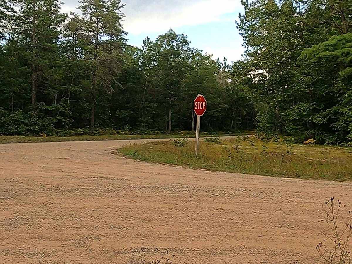
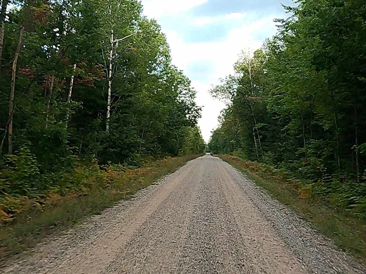
Dirt, gravel, and sand road with gentle grades. Safe for most 4WD and high-clearance 2WD vehicles. This road is typically two vehicles wide.
History
The Smithers Winter Test Center (SWTC) in Brimley, Michigan, founded in 1973, is a premier 324-hectare (800+ acre) facility specializing in cold-weather tire and vehicle testing. Located at the former Raco Field WWII airfield in the Upper Peninsula, it provides specialized, 24/7-maintained ice and snow surfaces for automotive, tire, and military testing. The site was originally constructed as an airfield to protect the locks at Sault Sainte Marie during World War II. Acquisition (1973–1975): Smithers, a testing firm founded in 1925 in Akron, Ohio, established its winter testing presence here after acquiring Compliance Testing Incorporated in the early 1970s, making it fully operational by 1975.