Trail Overview
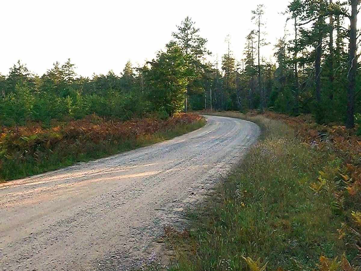
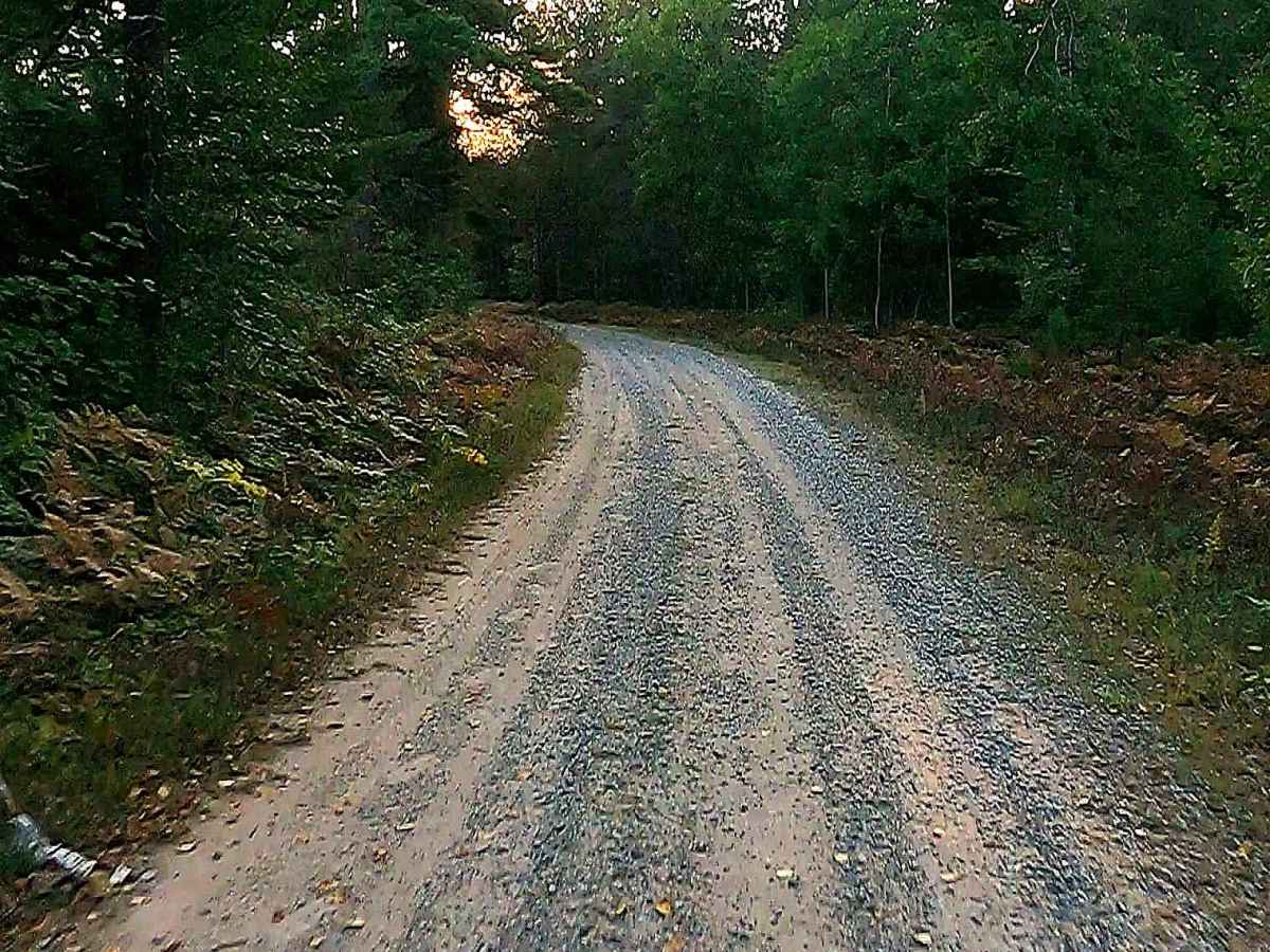
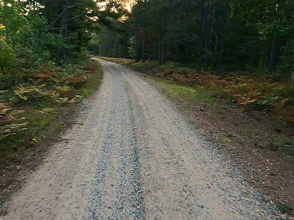
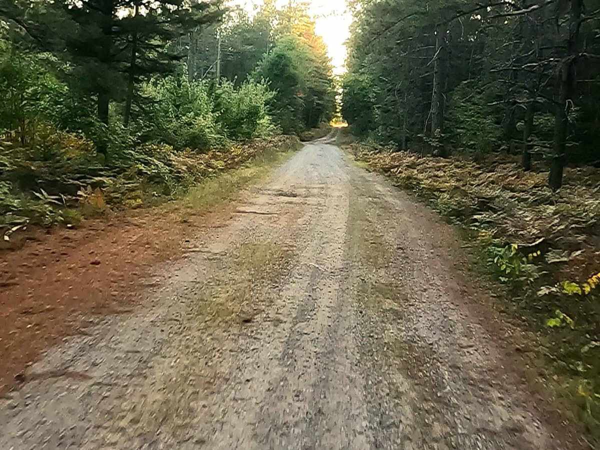
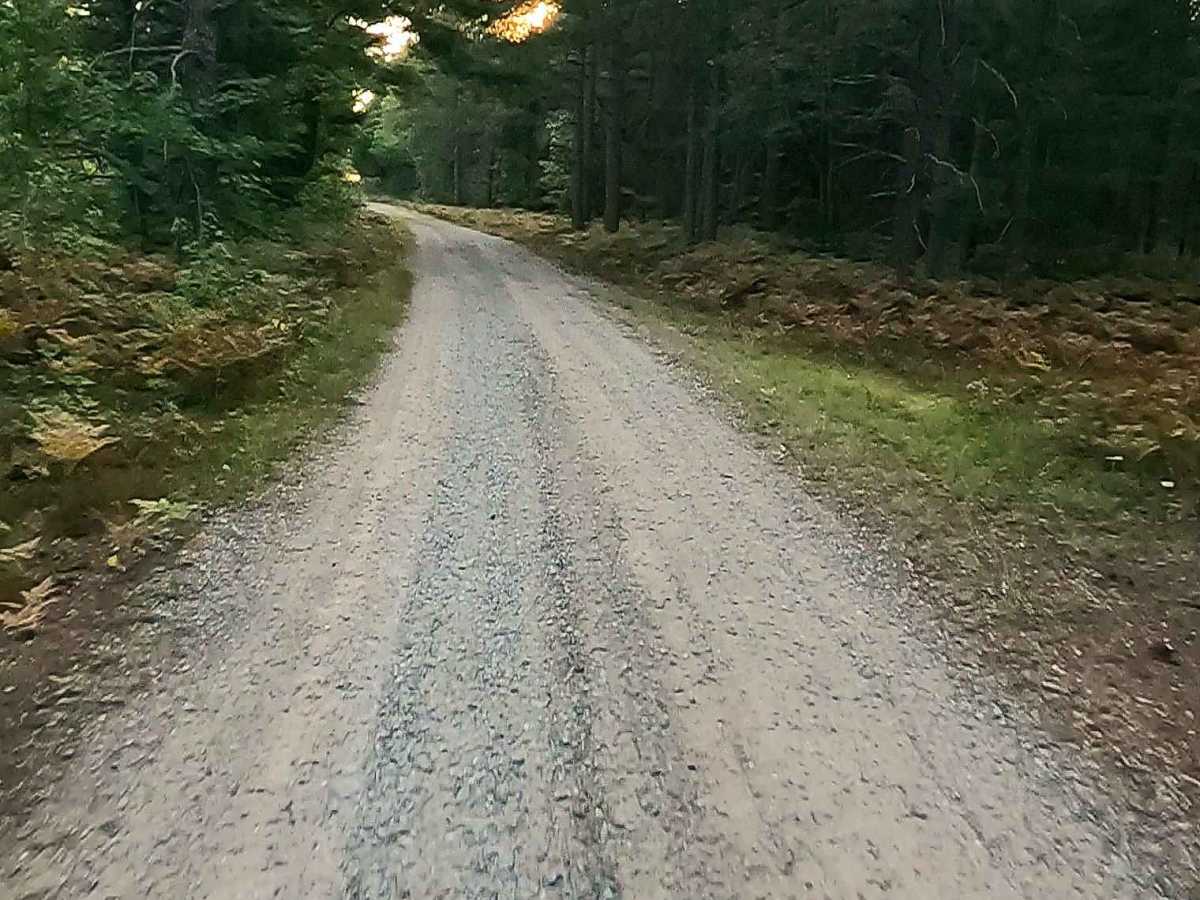
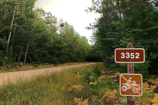
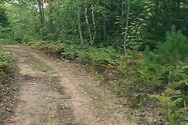
Federal Forest Service Road (FS) 3134, also known as Fish Hatchery Road, is a federally owned/ locally maintained, Level-2/ Level-3 forest road with a surface composition of dirt, sand, gravel, and native material. This route is currently open and in fair condition; it is not a DNR road (ORV use is subject to local government regulations) that connects FS 3131- Sullivan Truck Road to FS 3131J, FS 80A, FS 80D, FS 3146, and FS 3134A to FS 3132 -Sweiger Road. Description created on September 11, 2025.
History
Established in the 1930s, the Hiawatha Forest National Fish Hatchery in Raco, Michigan, was initially used by the U.S. Forest Service. In 1959, it became a substation of the Pendills Creek National Fish Hatchery and, by 1994, transitioned into a dedicated lake trout broodfish facility. It was renamed Sullivan Creek National Fish Hatchery in 2003. Key History of the Facility: 1930s: Established in Raco, Michigan, used by the U.S. Forest Service. 1959: Became a substation of the Pendills Creek National Fish Hatchery. 1994: Became a specialized broodfish facility, focusing on producing lake trout eggs to support Great Lakes restoration. 2003: Renamed Sullivan Creek National Fish Hatchery, and a new fish production building was completed. 2013: A new, specialized egg incubation and early broodfish rearing facility was constructed, with the capacity to incubate 10 million lake trout eggs.