Trail Overview
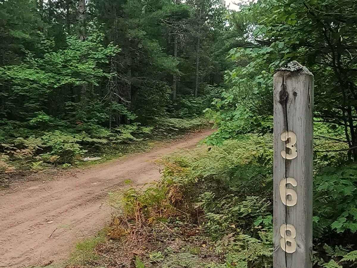
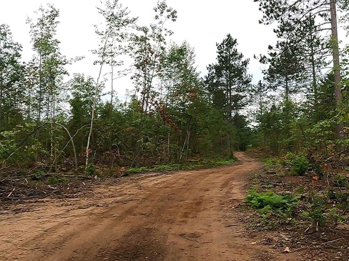
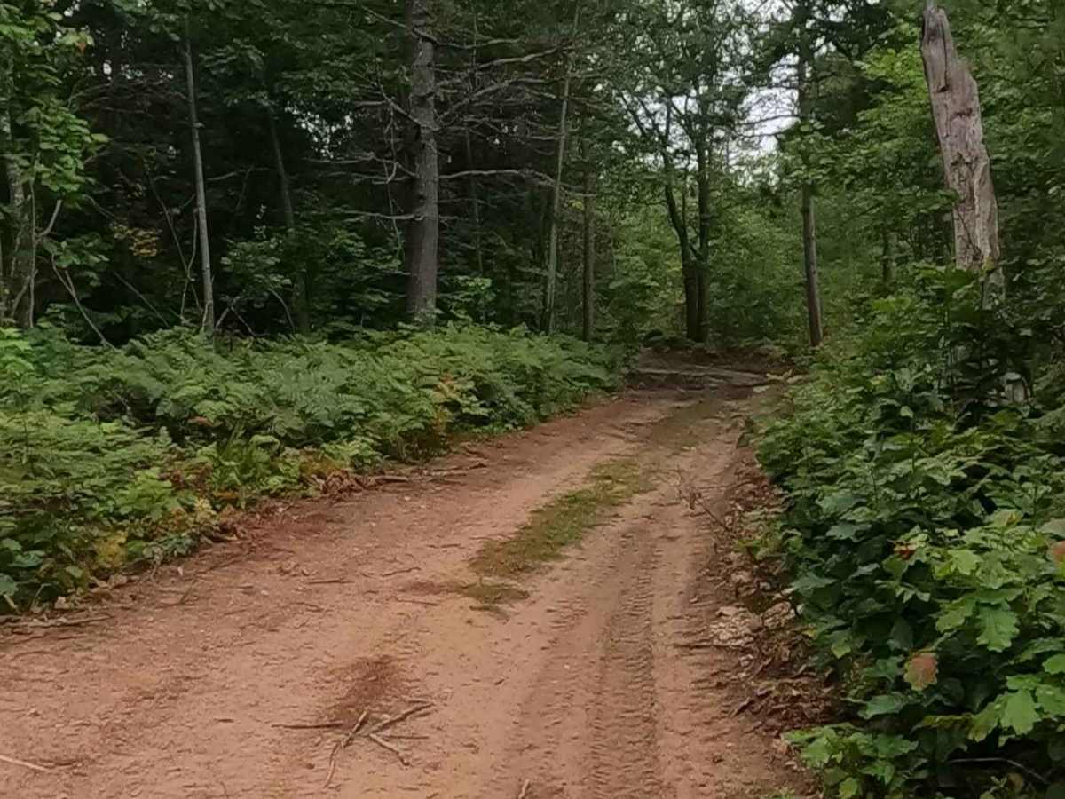
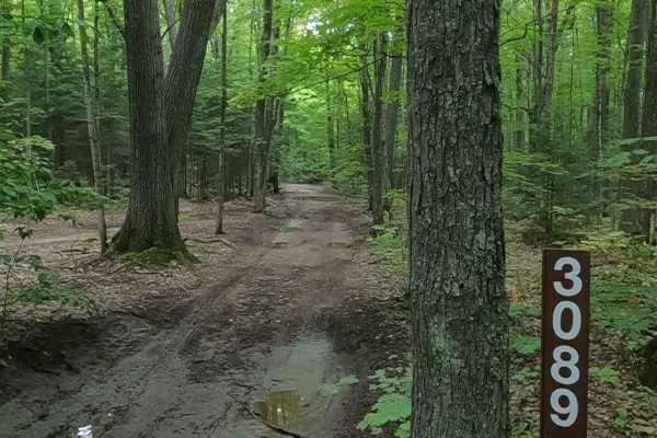
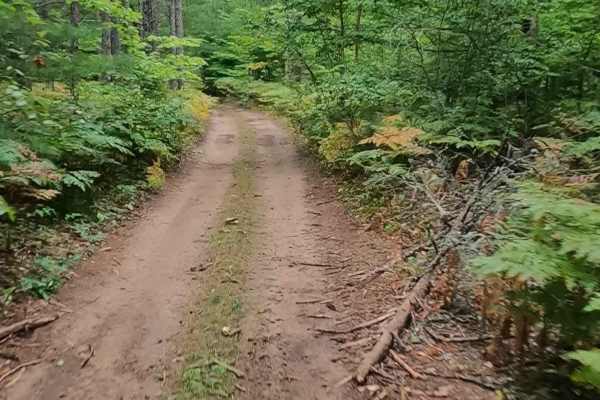
Federal Forest Service Road 3631, also known as Unicorn, is a federally owned/ locally maintained, Level-2/ Level-3 forest road with a surface composition of dirt, sand, gravel, and native material. This route is currently open and in fair condition; it is not a DNR road (ORV use is subject to local government regulations) and connects West Tower Road/ Mission Hill Lookout (406) to FS 3021, FS 3058, FS 3677, FS S03E, Pendills Lake Road, FS 3682, FS 3580, and FS 3622. Description created on September 10, 2025.
Difficulty
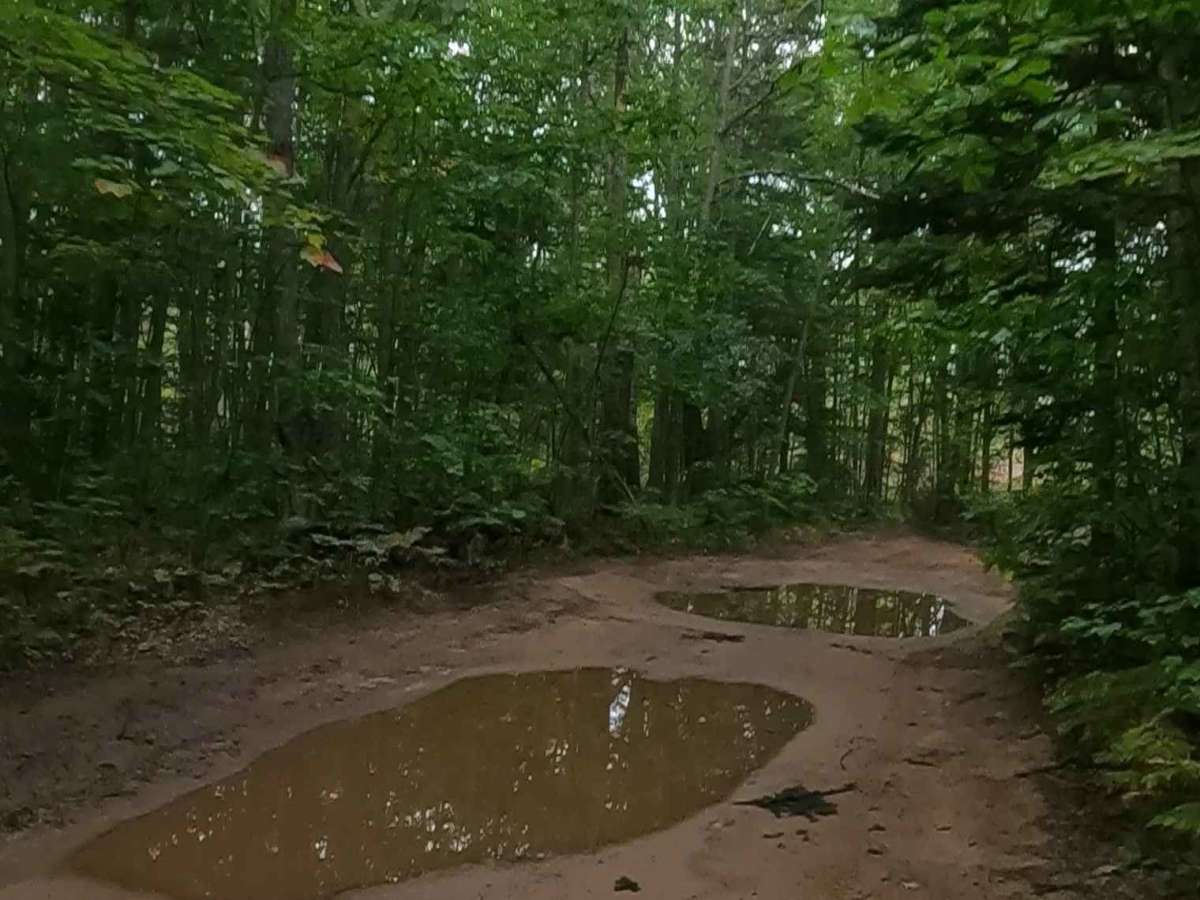
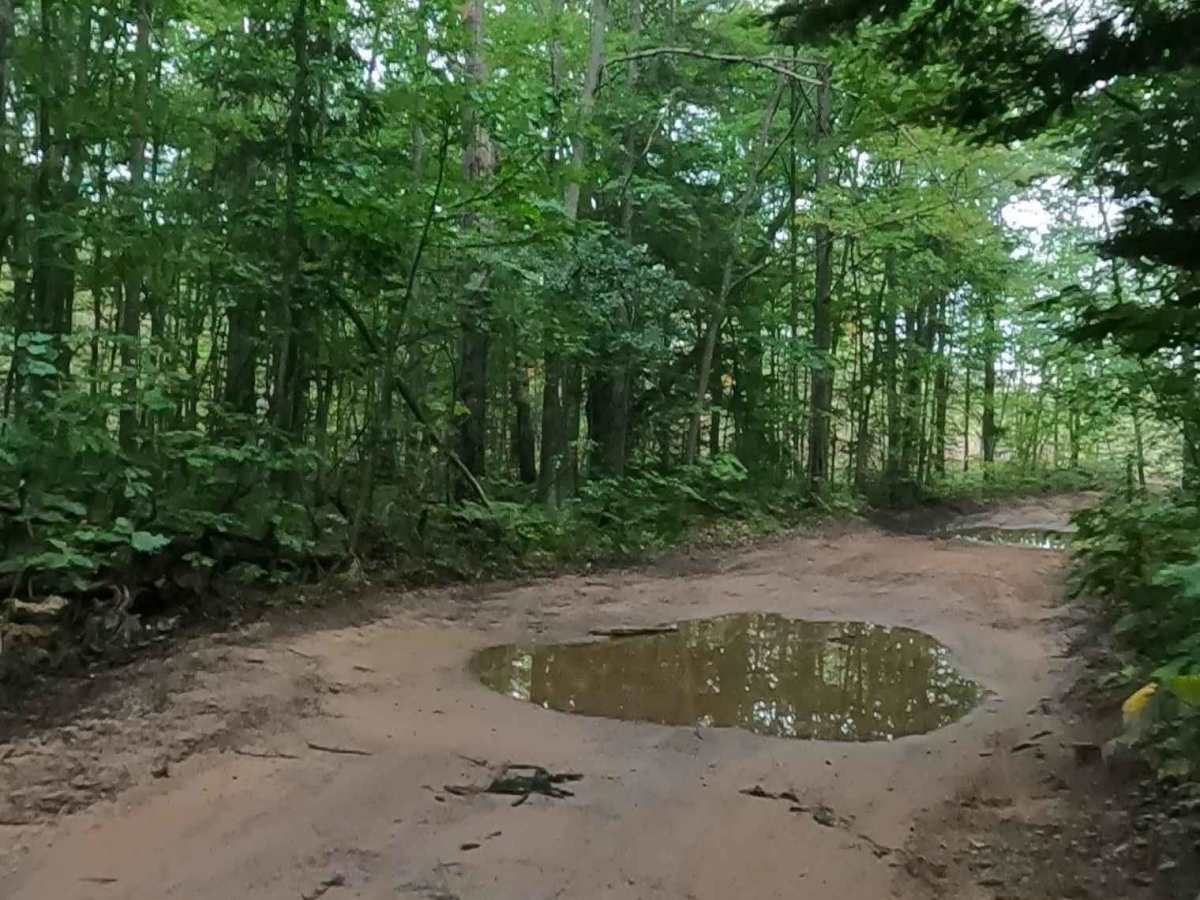
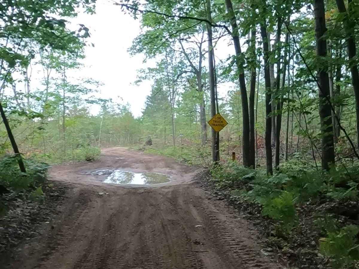
Dirt, gravel, sandy road, typically unmaintained after rain or snow, that may give rise to shallow water crossings and obstacles under 12 inches on the trail, including small ledges. This road is typically one to two vehicles in width, with some portions narrowing down to a "Two Track" road.
History
Bay Mills, Michigan, has deep roots as a historic home to the Ojibwe (Chippewa) people, known traditionally as Gnoozhekaaning ("Place of the Pike"). Federally recognized in 1936, the Bay Mills Indian Community (BMIC) is a sovereign nation with a strong history of fishing, environmental stewardship, and economic development through gaming, including the Bay Mills Resort & Casino, founded in 1995. Raco, Michigan, originated as a 1887 sawmill settlement named after the Richardson and Avery Company. It is best known for hosting Camp Raco (1933), the U.P.'s first Civilian Conservation Corps (CCC) site, which later became a World War II German POW camp. Today, it is known for the decommissioned Raco Army Airfield, now a cold-weather testing site.