Trail Overview
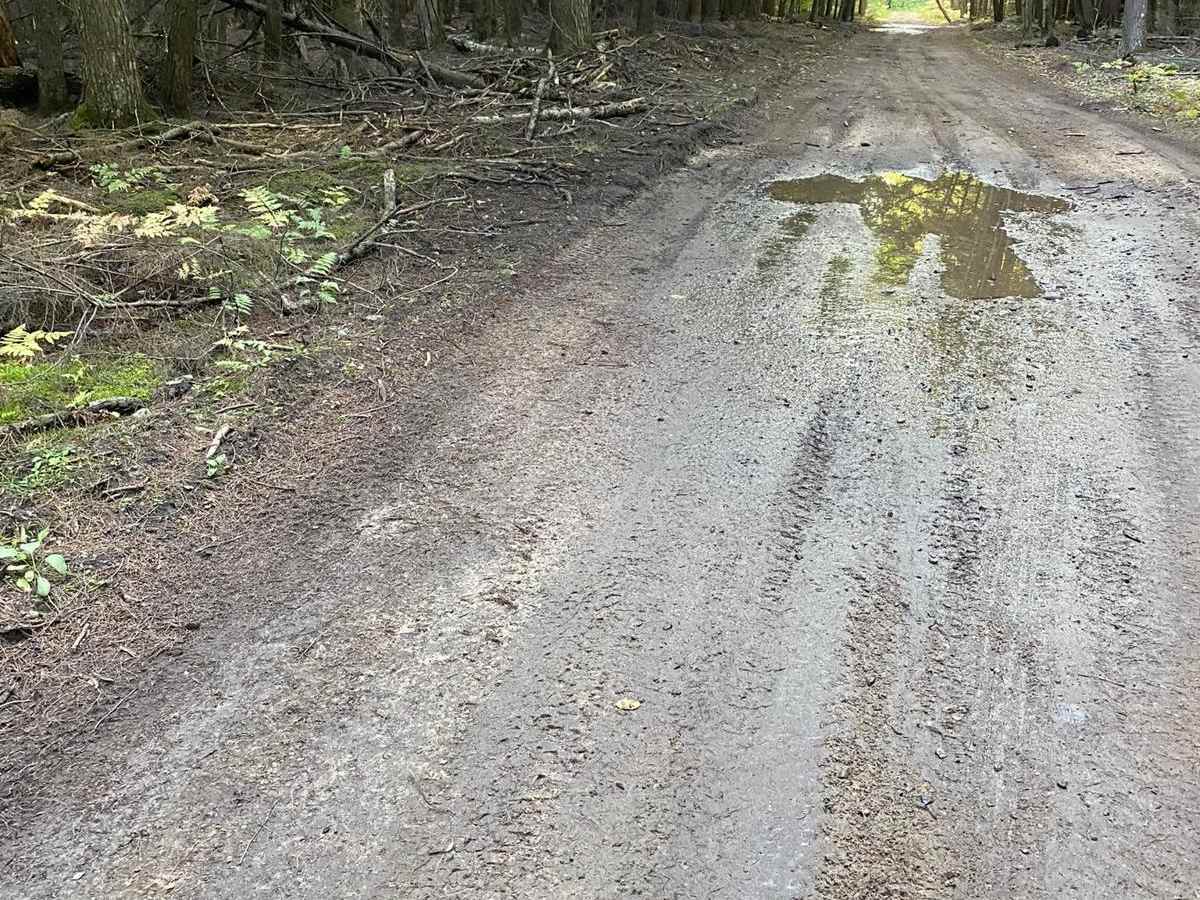
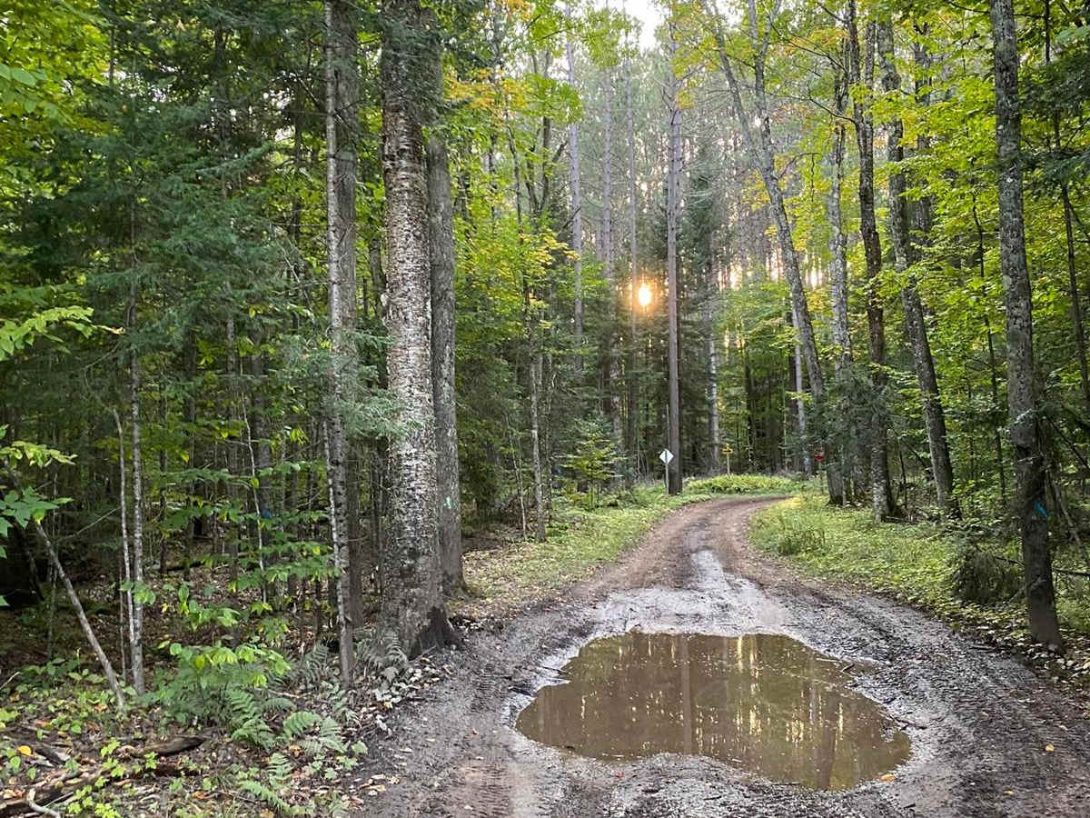
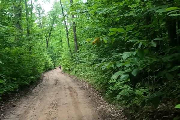
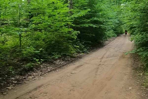
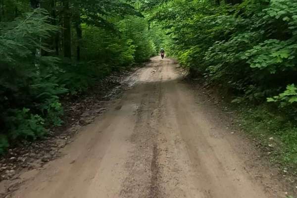
Tamcha 2706 to Round Lake - Part 10 is a 2.6-mile off-road connector route winding through the Hiawatha National Forest in Michigan's Upper Peninsula. Running south from County Road 440 to Forest Road 2317, the flat dirt and mud trail serves as a link within a larger regional trail network.
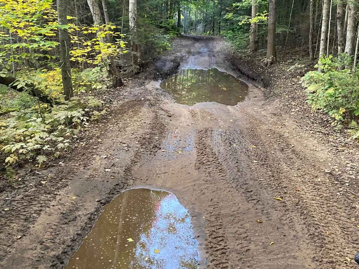
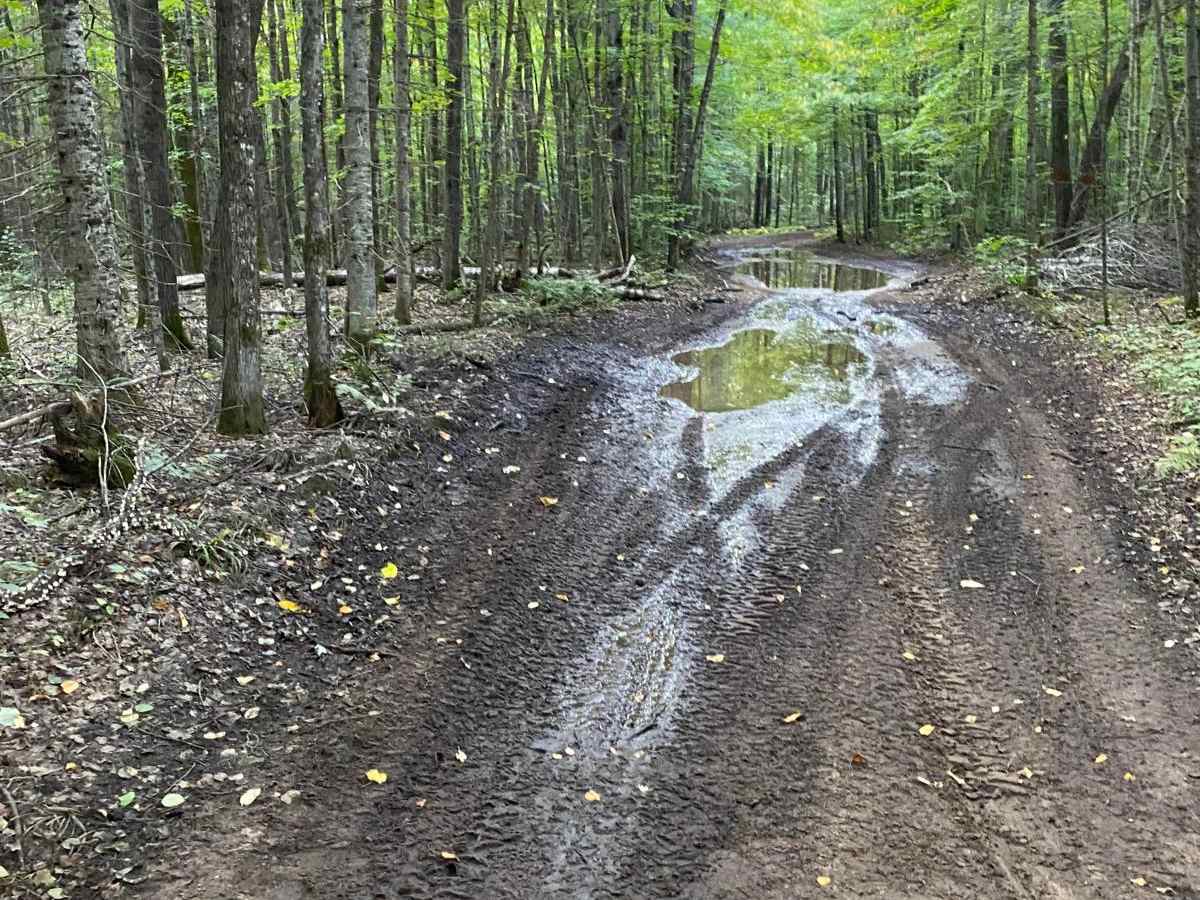
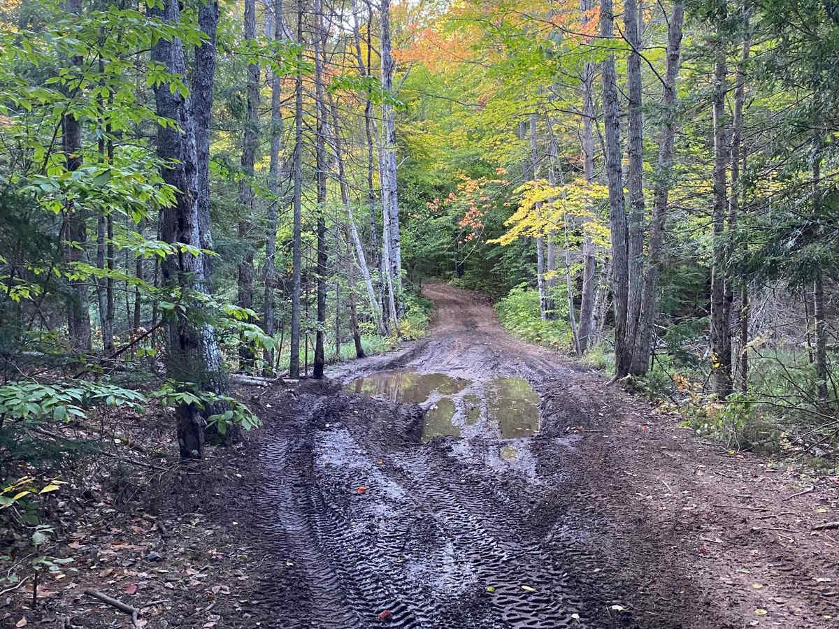
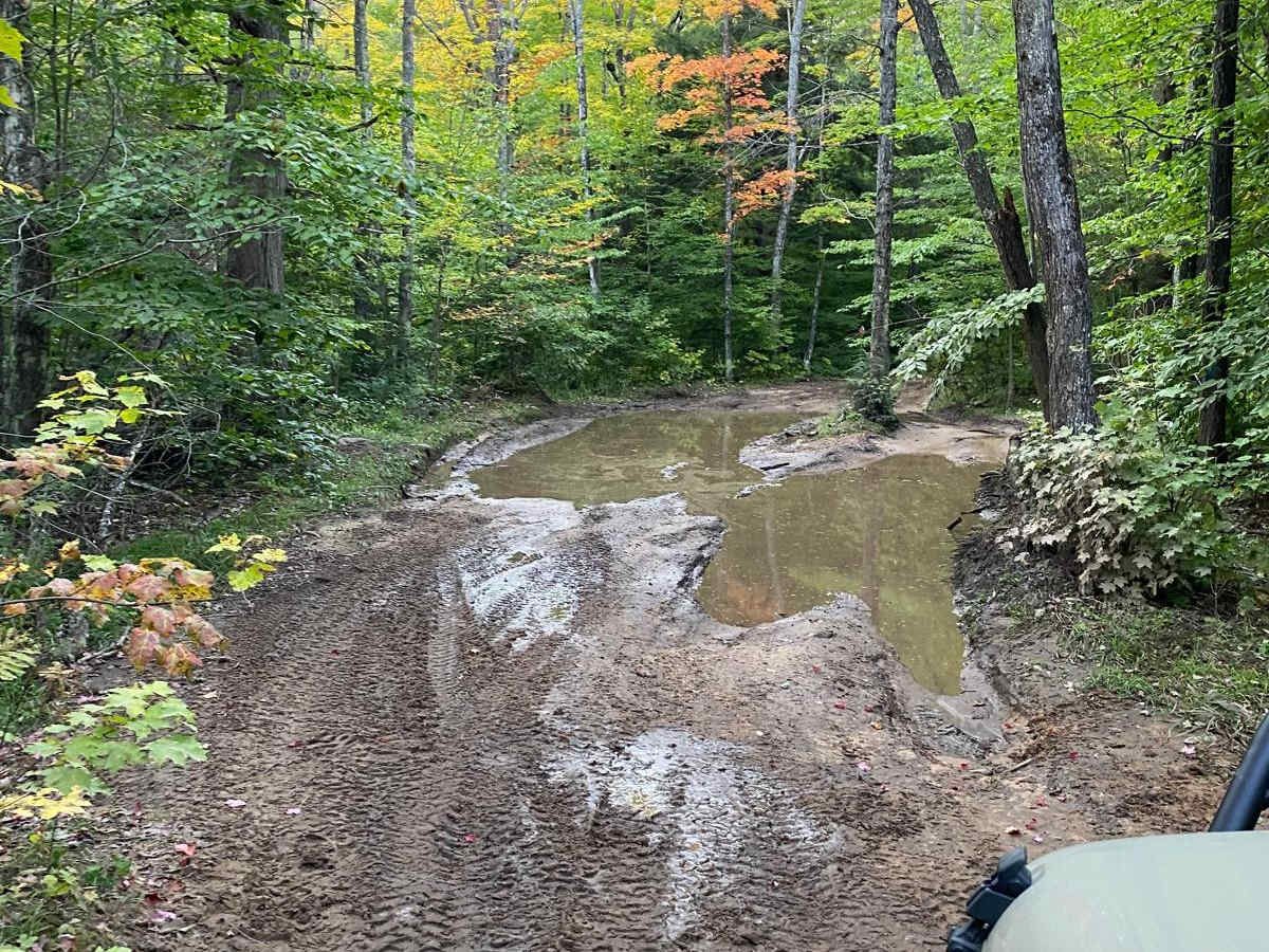
While much of the route is straightforward, a notoriously deep mud hole is located about three-quarters of the way along the path. High-clearance 4WD vehicles and recovery gear are highly recommended to navigate this obstacle. The route provides convenient connections to Forest Road 2238 and UP 417, with quick access to nearby Connor Lake.
Access Description
The route is located within the Hiawatha National Forest. Vehicles operating on these forest roads must be street-legal or have a valid Michigan ORV license and trail permit. Due to the deep mud hole located three-quarters of the way through the trail, high-clearance 4WD vehicles and recovery gear (such as a winch or recovery straps) are highly recommended, especially during the spring melt or after heavy rainfall.