Trail Overview
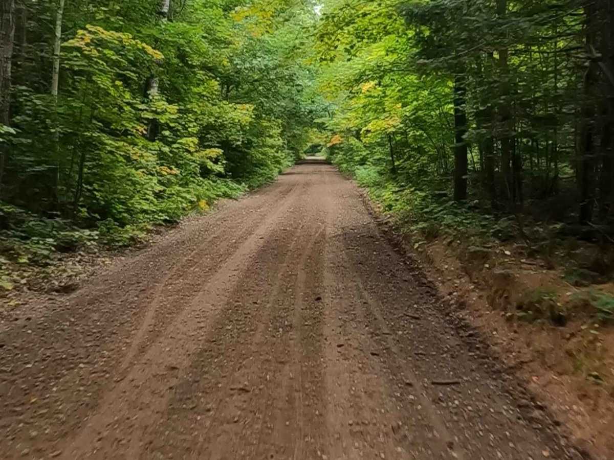
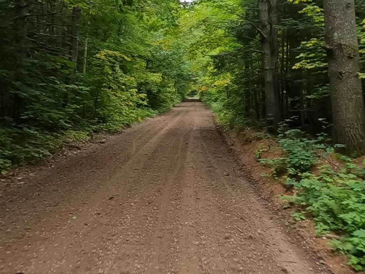
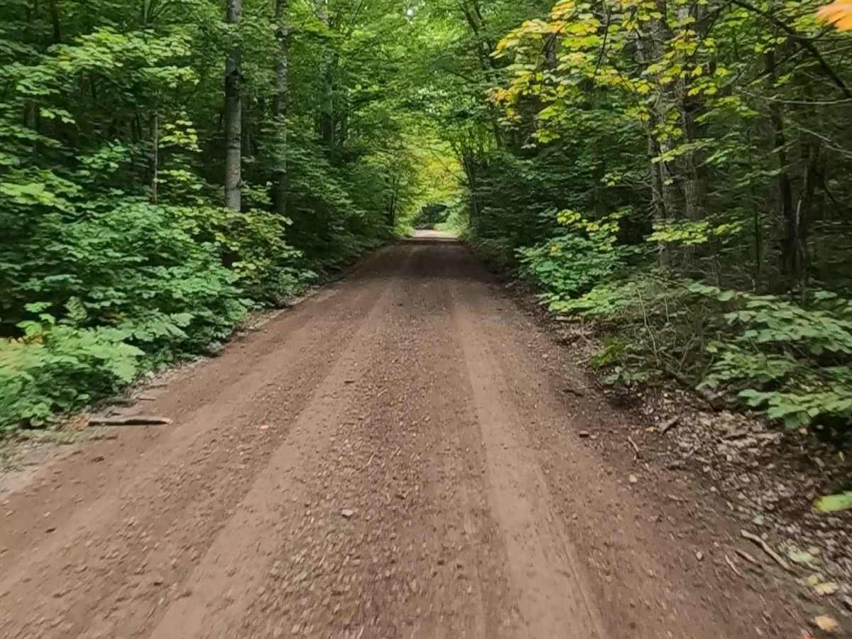
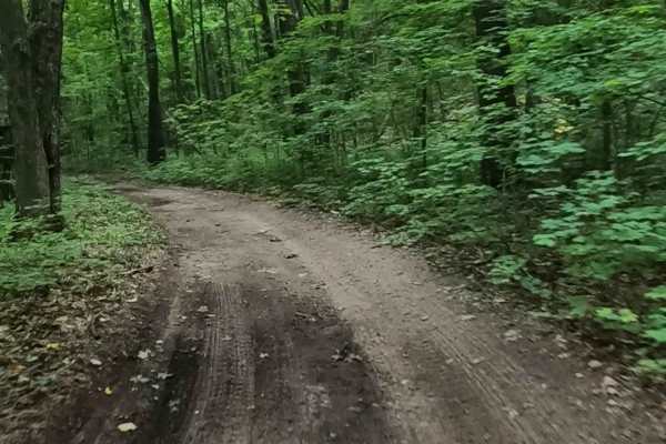
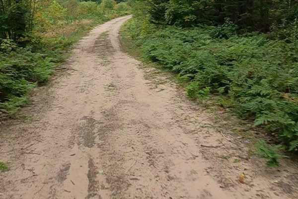
Federal Forest Service Road (FS) 3080, also known as Rhody Creek Truck Trail/ County Road 743, is a federally owned/ locally maintained, Level-2/ Level-3 forest road with a surface composition of dirt, sand, gravel, and native material. Most portions of this route are currently open; 1 residential and 1 logging portion close seasonally. It is in fair condition, it is not a DNR road (ORV use is subject to local government regulations), and it connects Adams Trail to Lavender Lake Road, Moccasin Lake Road, Hurricane River Trail, Beaver Meadow Road, and H-58. Description created on September 10, 2025.
Difficulty
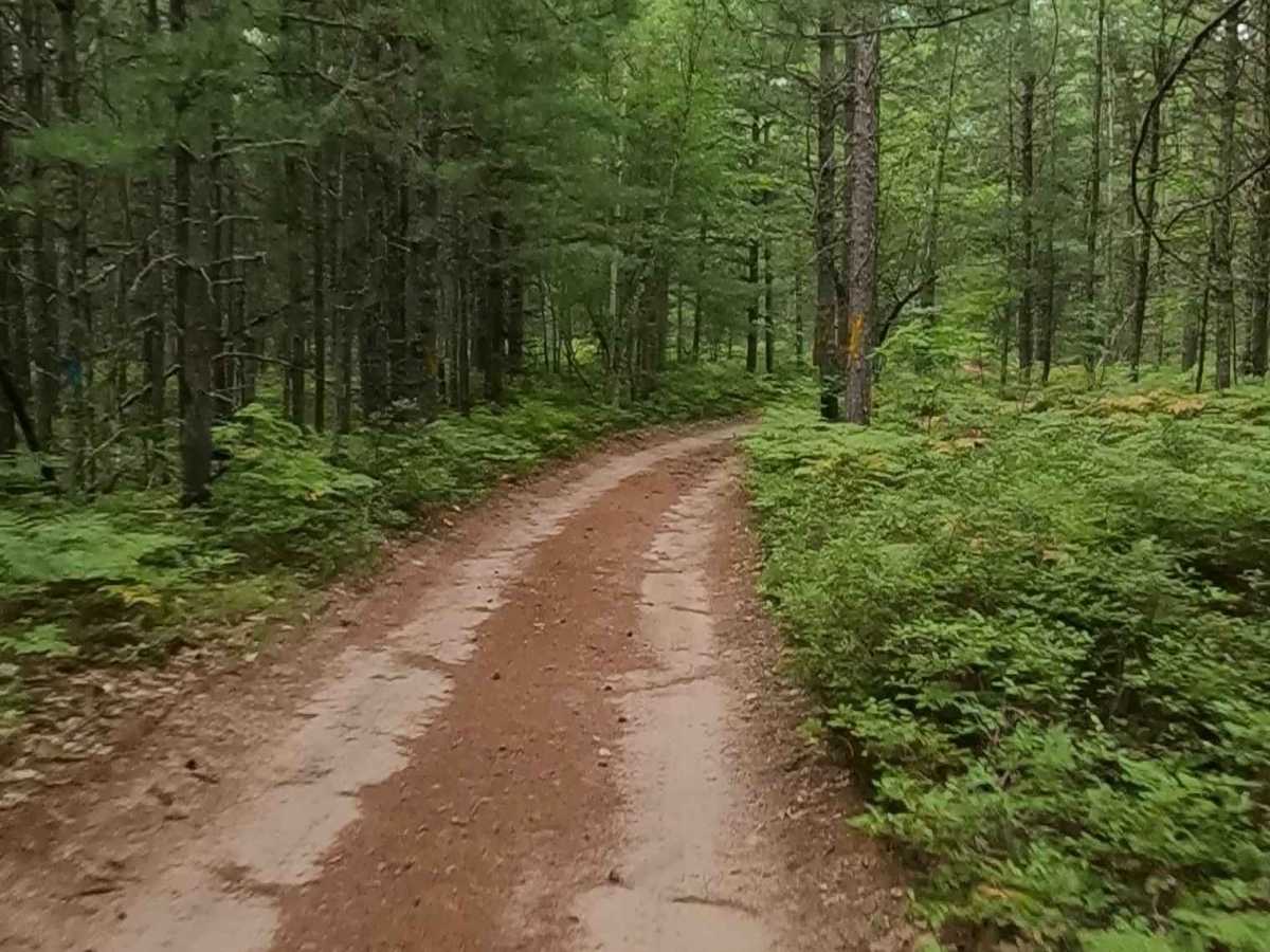
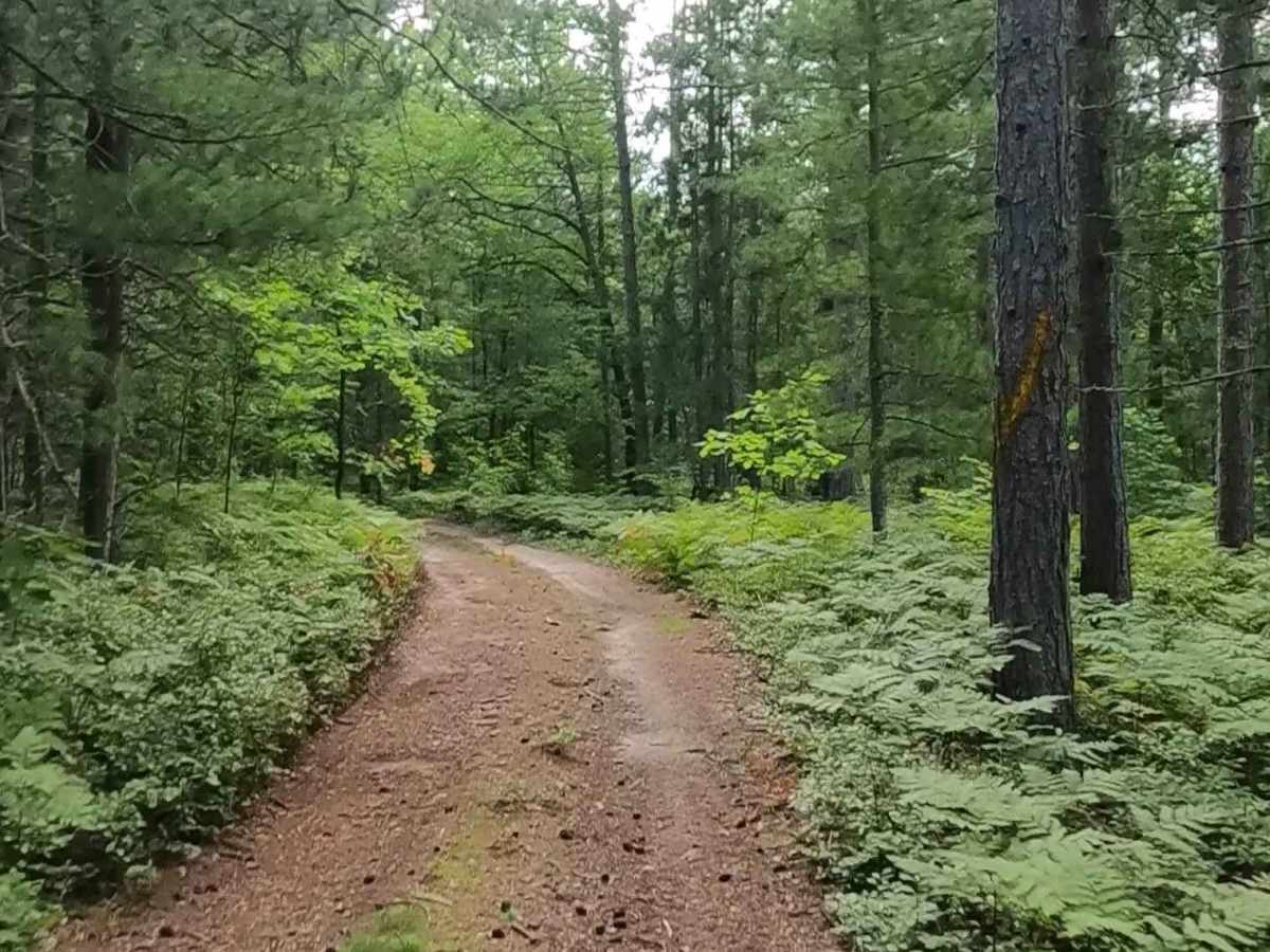
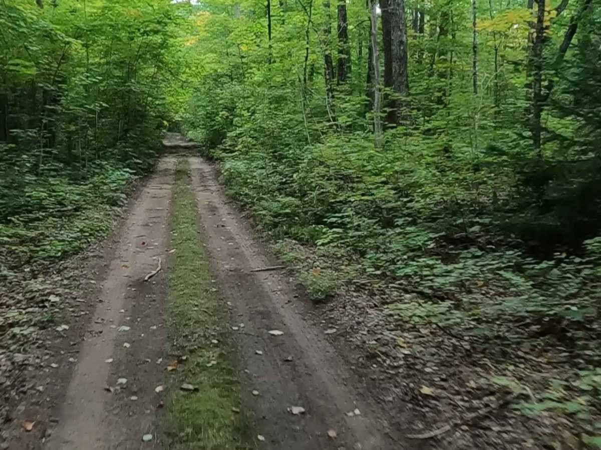
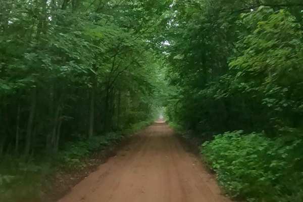
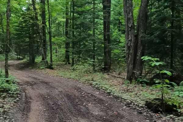
Dirt, gravel, sandy road, typically unmaintained after rain or snow, that may give rise to shallow water crossings and obstacles under 12 inches on the trail, including small ledges. This road is typically one to two vehicles in width, with some portions narrowing down to a "Two Track" road.
History
The Rhody Creek Trail (often referred to as the Rhody Creek Truck Trail) near Grand Marais, Michigan, is a 5.6-mile, moderately difficult route often used as an alternative route to the town, featuring forested scenery, wetlands, and a creek. It historically functioned as a dog sled trail and later as a snowmobile route before being heavily used as a, at times, contentious, rustic 2-track, and has been subject to recent closures.